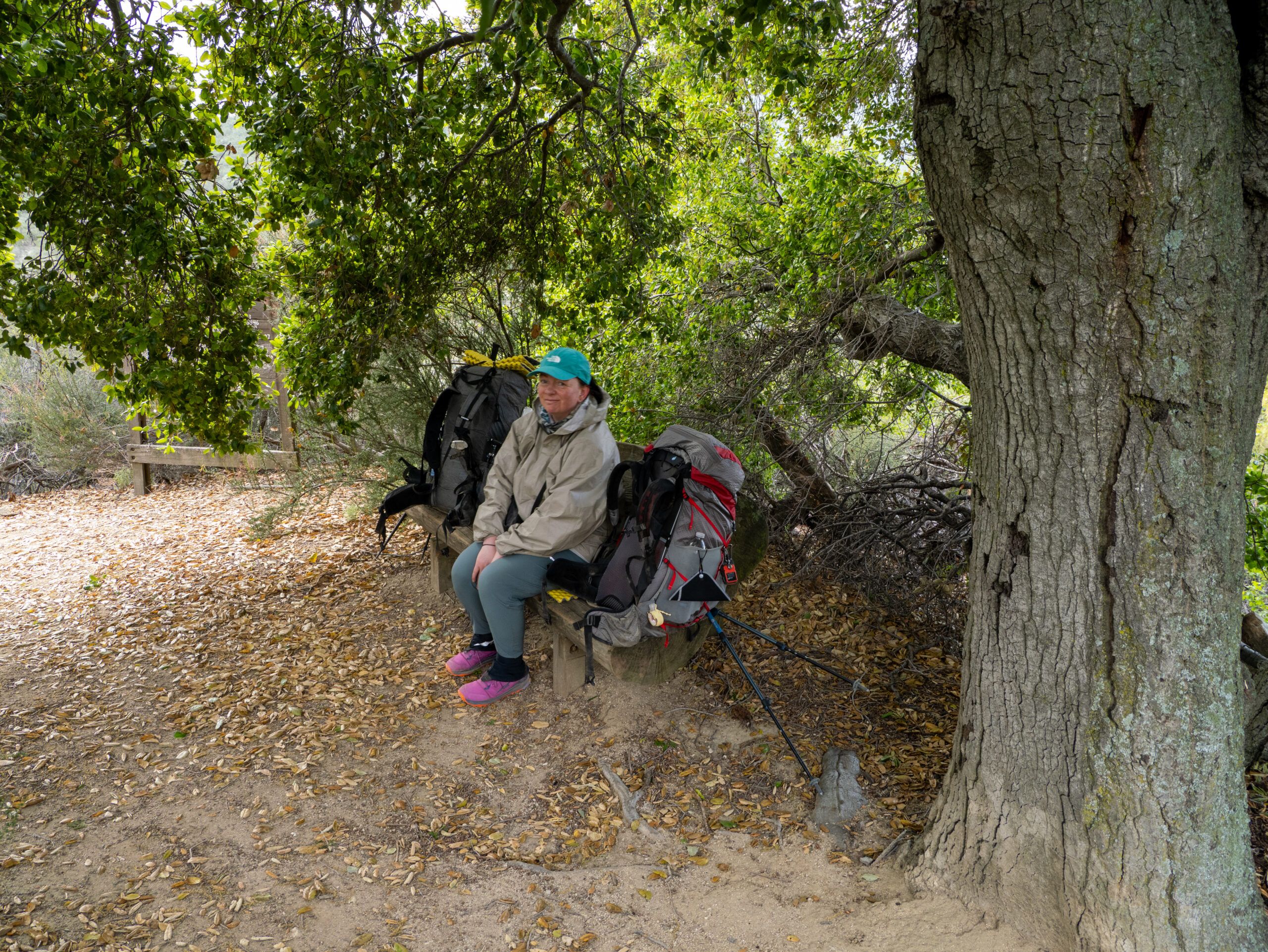
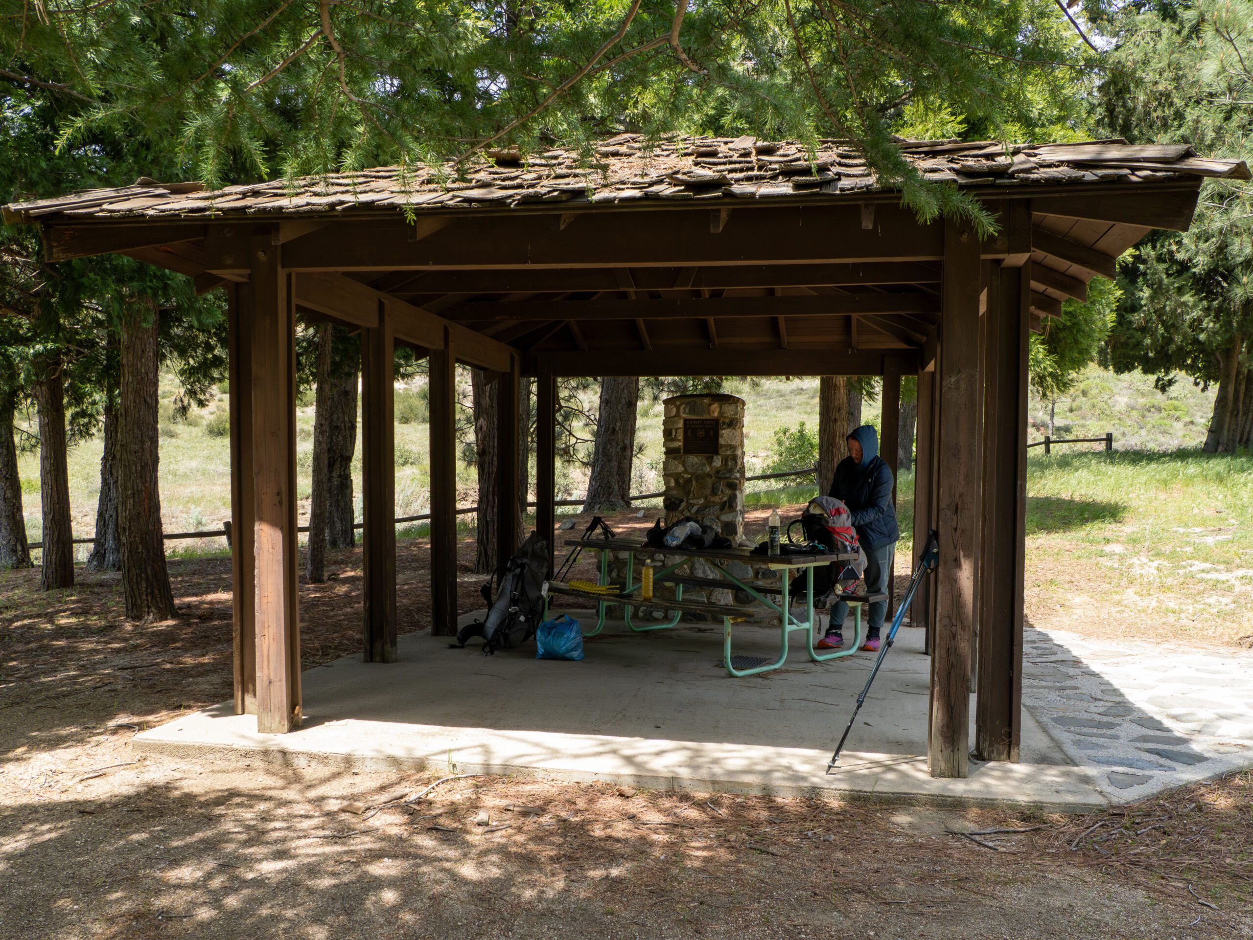
The night was terrible. We had chosen such an uneven spot that everything hurt. And then I also had to assess and pack up the drama of the tarp that I had “broken” the night before. We quickly packed up our things to have breakfast a few meters away. In the Farout app, I had seen that there was a bench by the side of the path, and of course we didn’t want to miss out on such a comfortable place to sit.
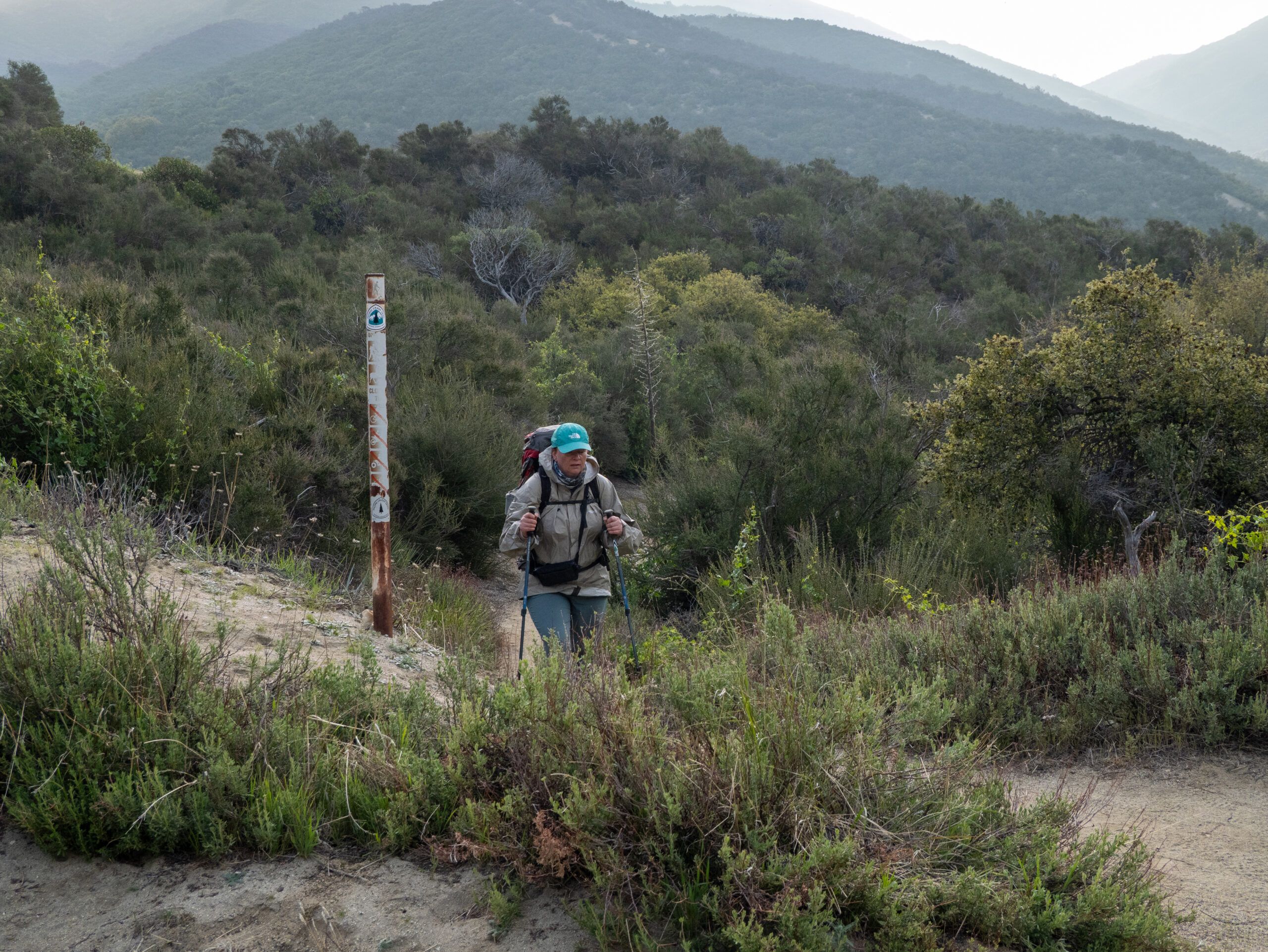
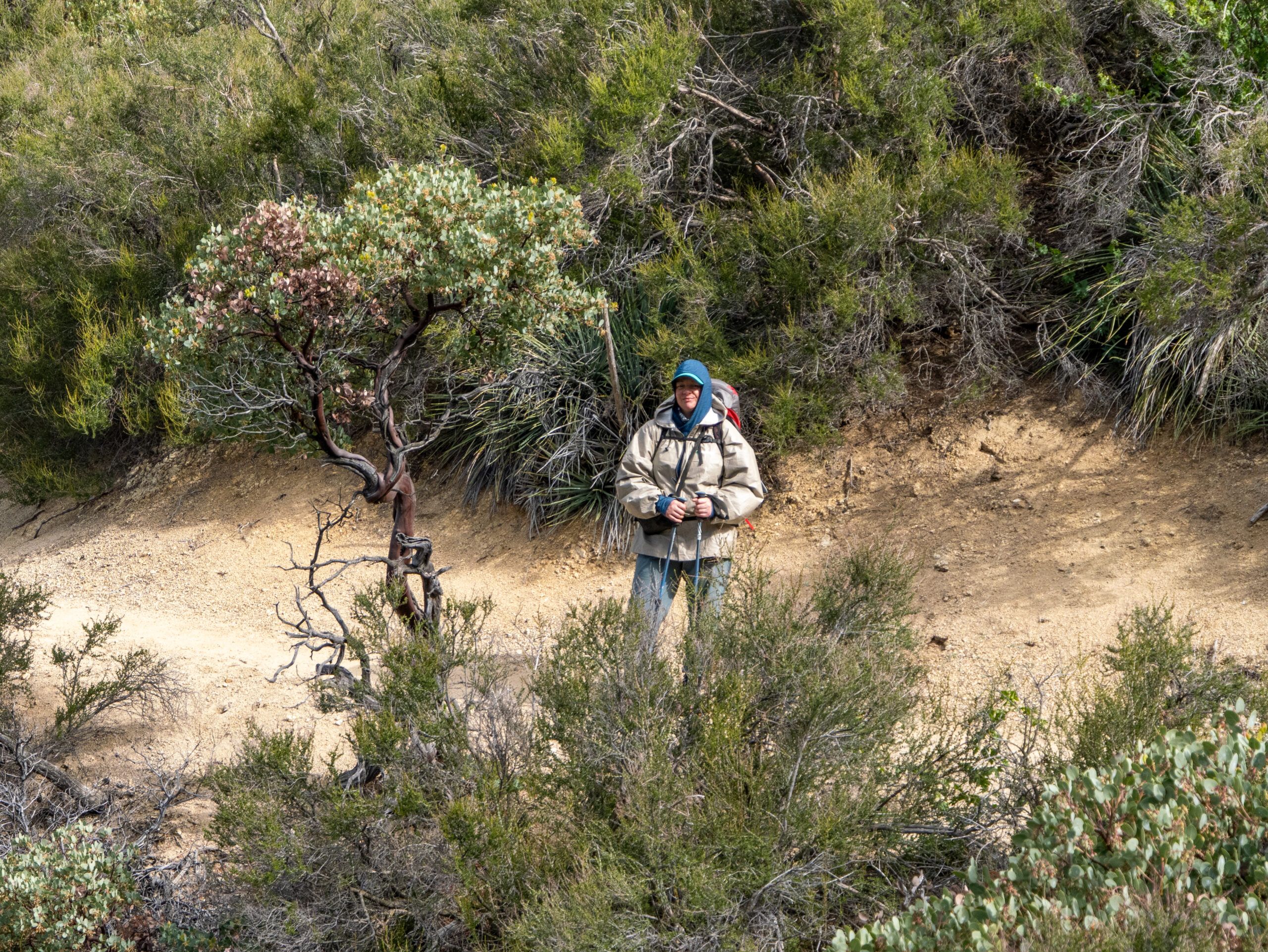
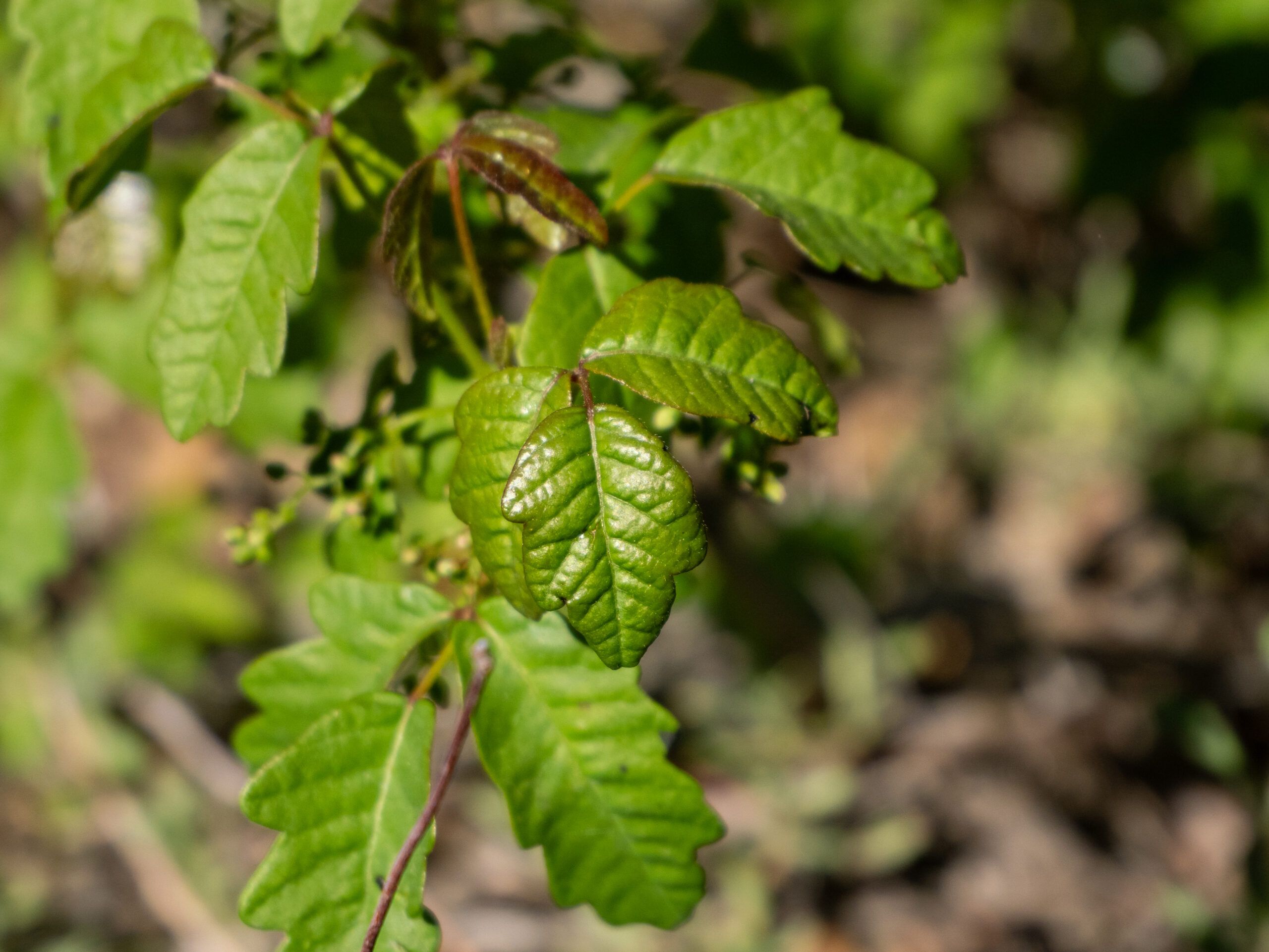
Today we continued for about 11 km towards the village of Green Valley. Again and again the path turned into a green tunnel and we were never quite sure whether we were passing Poison Oak or not. The rule of thumb was simple: touch as little as possible along the way and hope for the best.
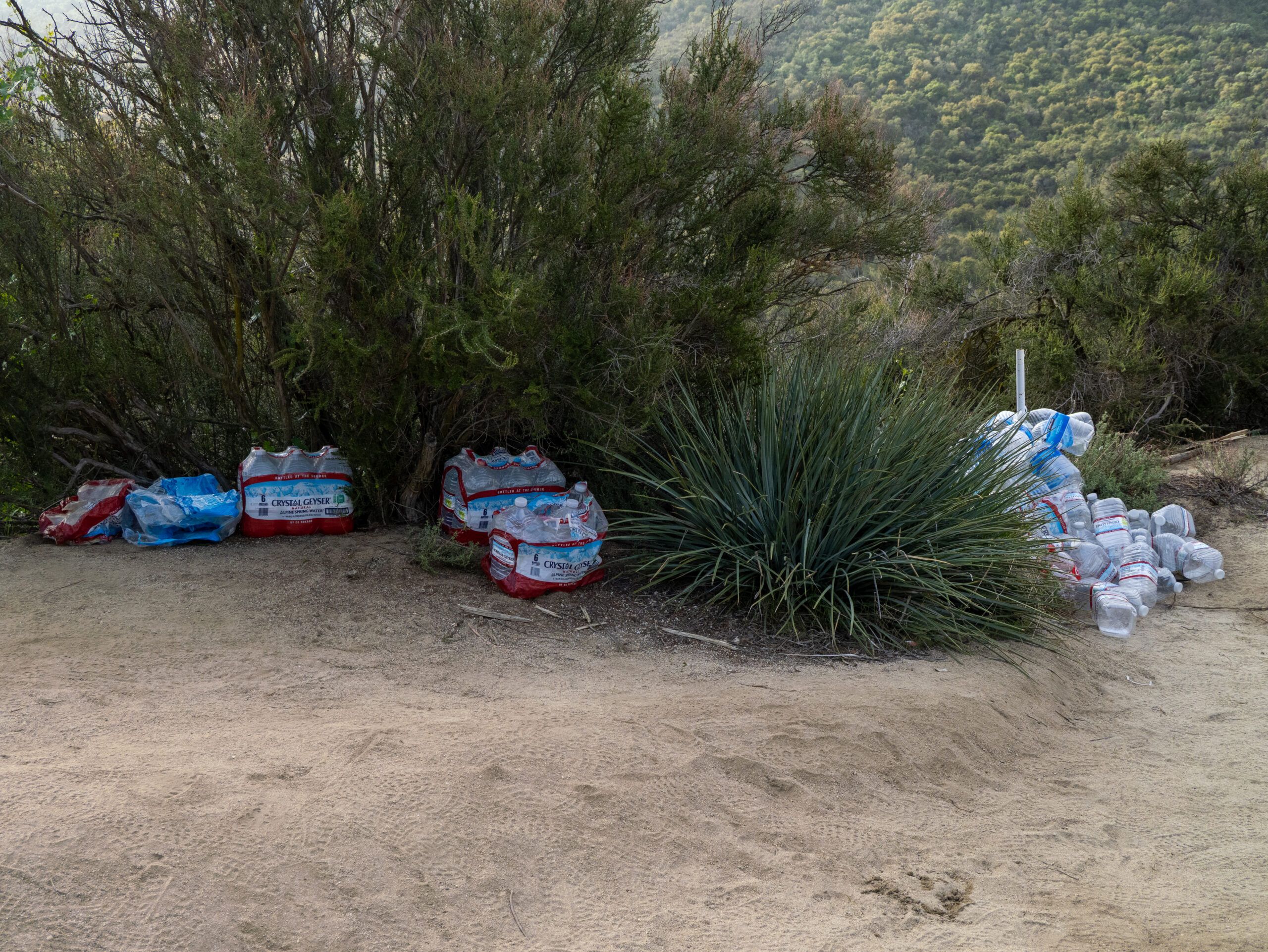
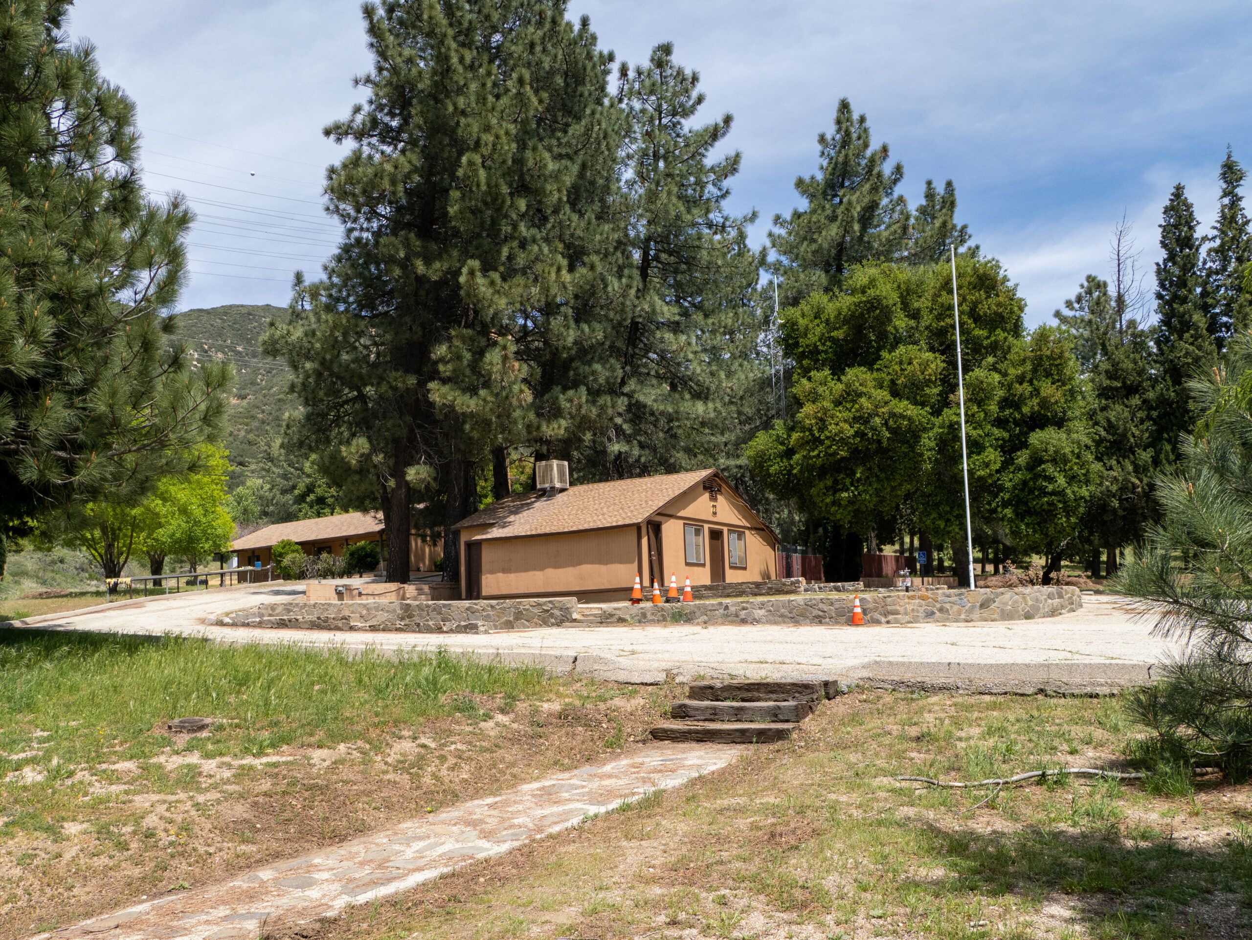
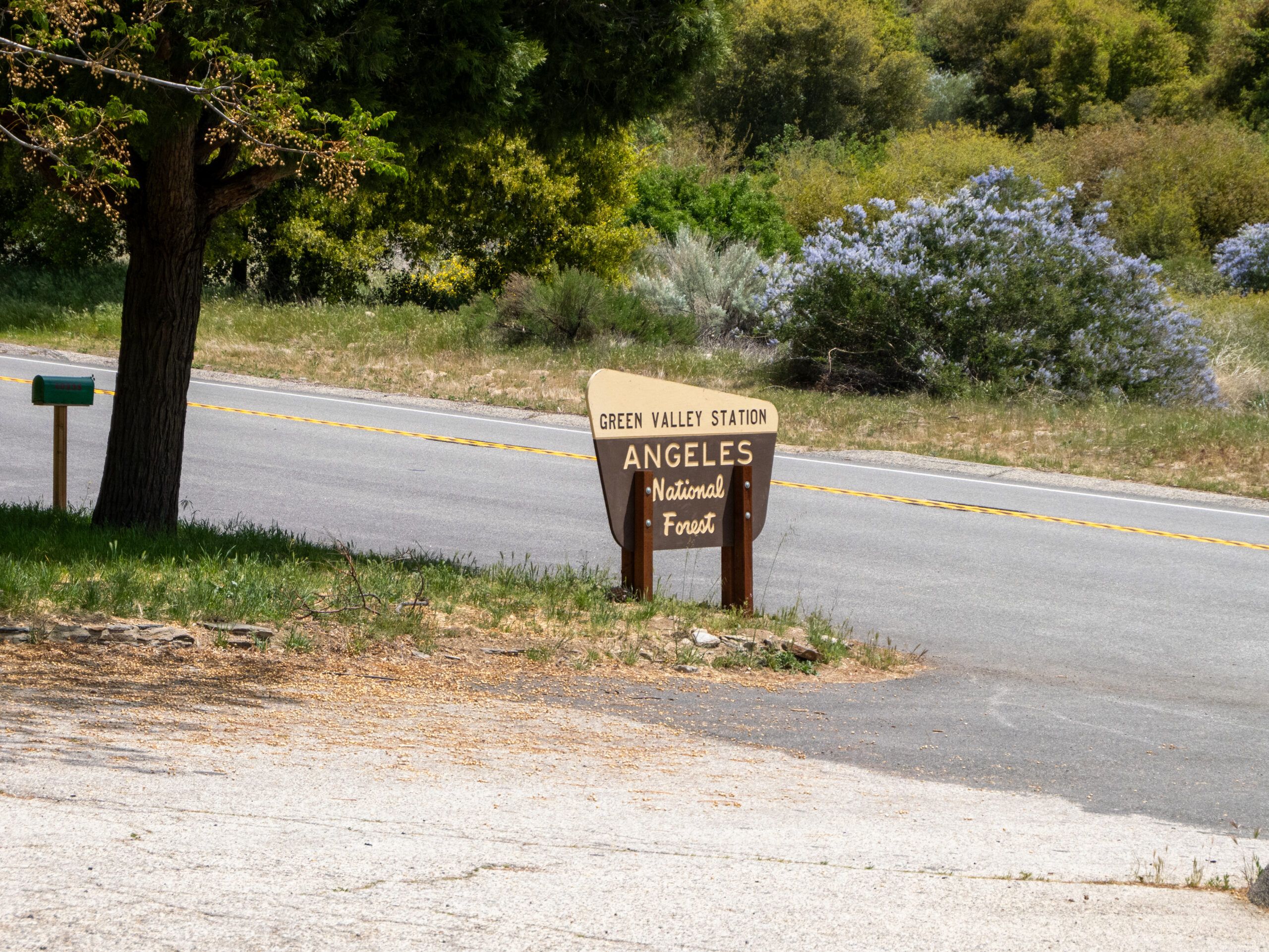
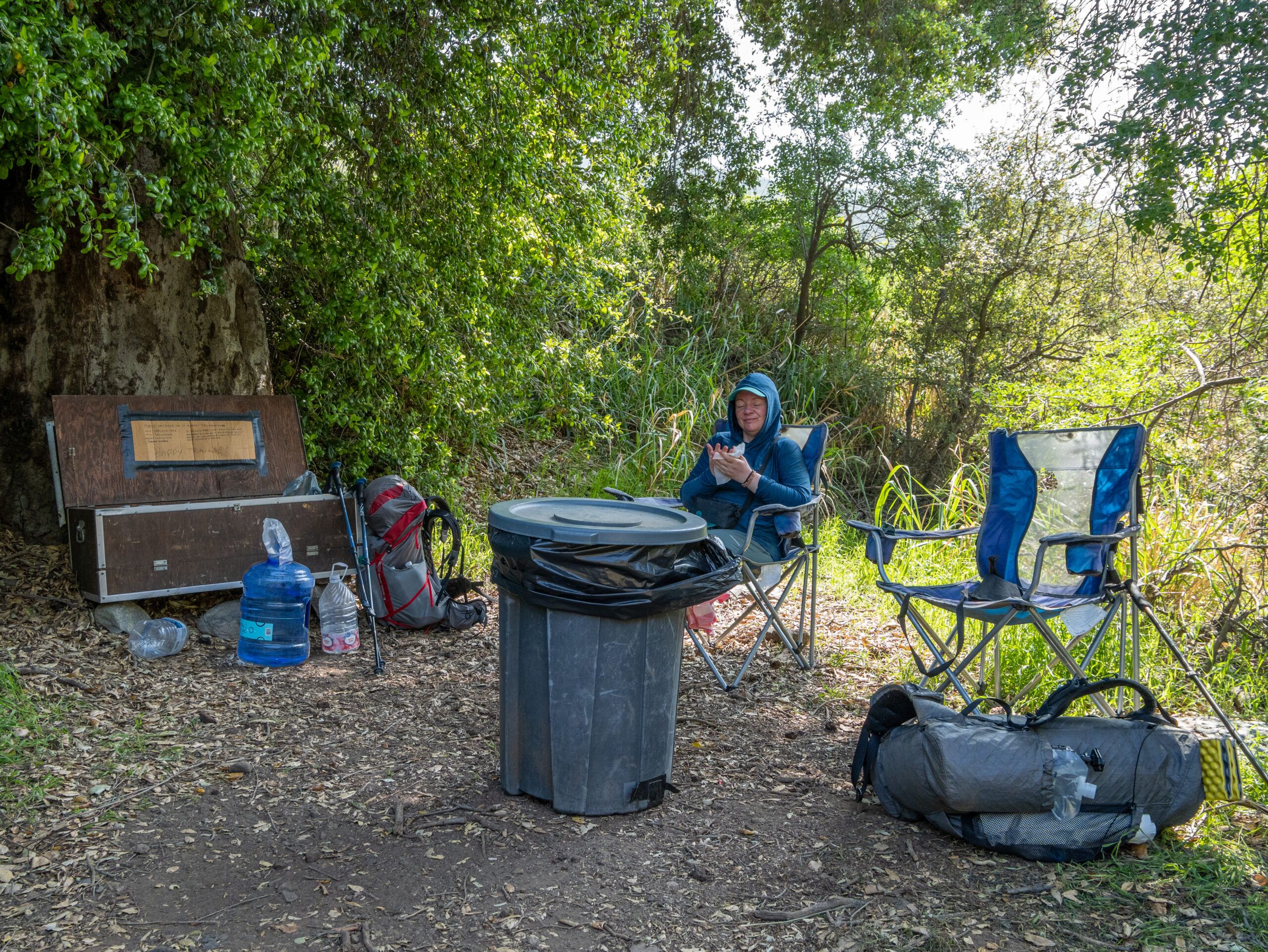
When we reached the road towards Green Valley, we stopped at the fire station, as hikers can fetch water here. Many hikers also take the detour – either on foot or by hitchhiking – to eat something other than the usual trail food at the local smokehouse. But for us it was only day 2 and we couldn’t afford to eat out every day. It was clear to us that after a short rest, we should continue straight on for 14 km – first uphill again.
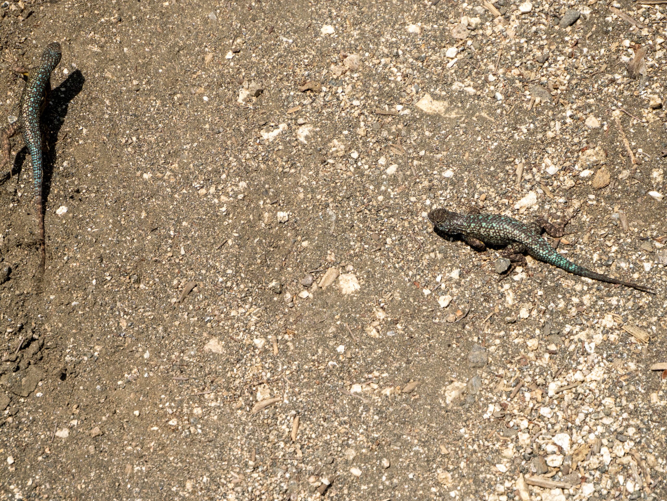
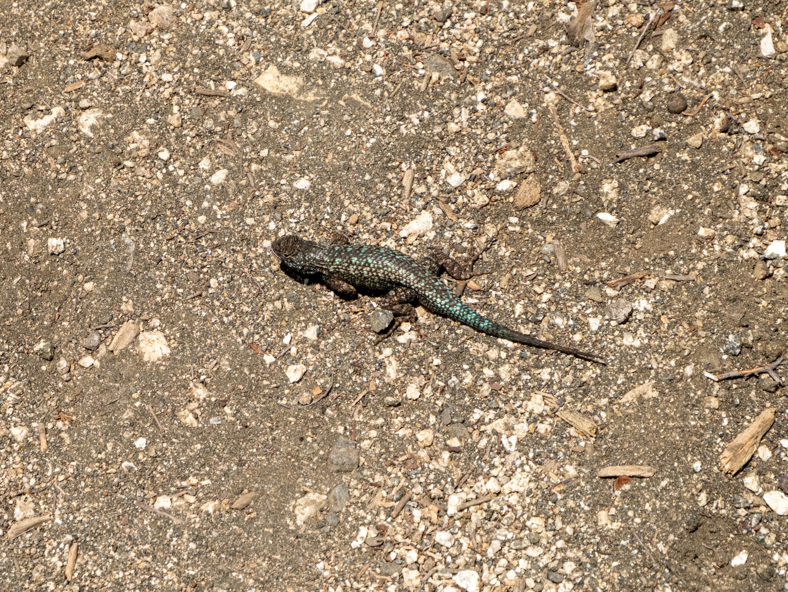
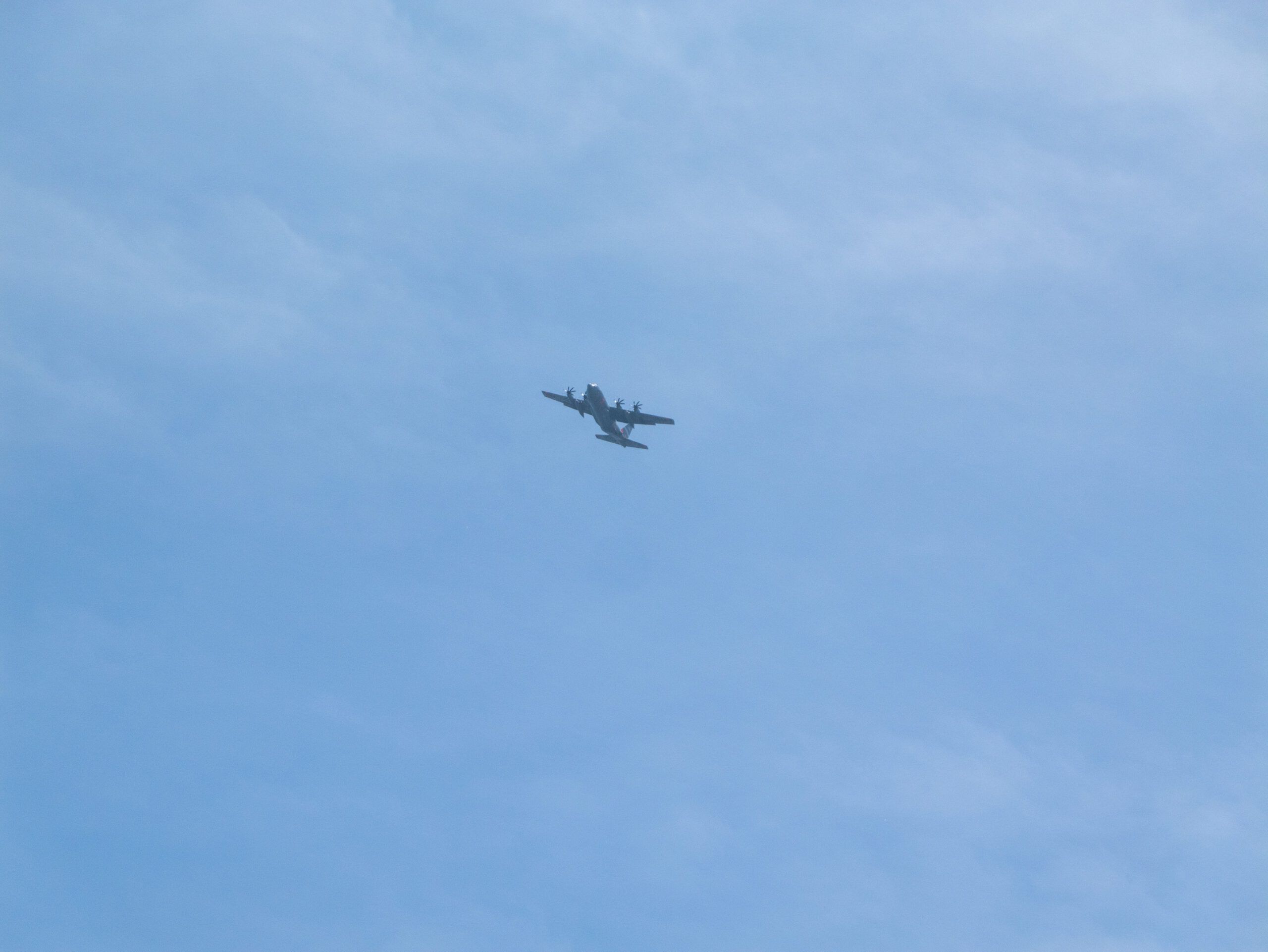
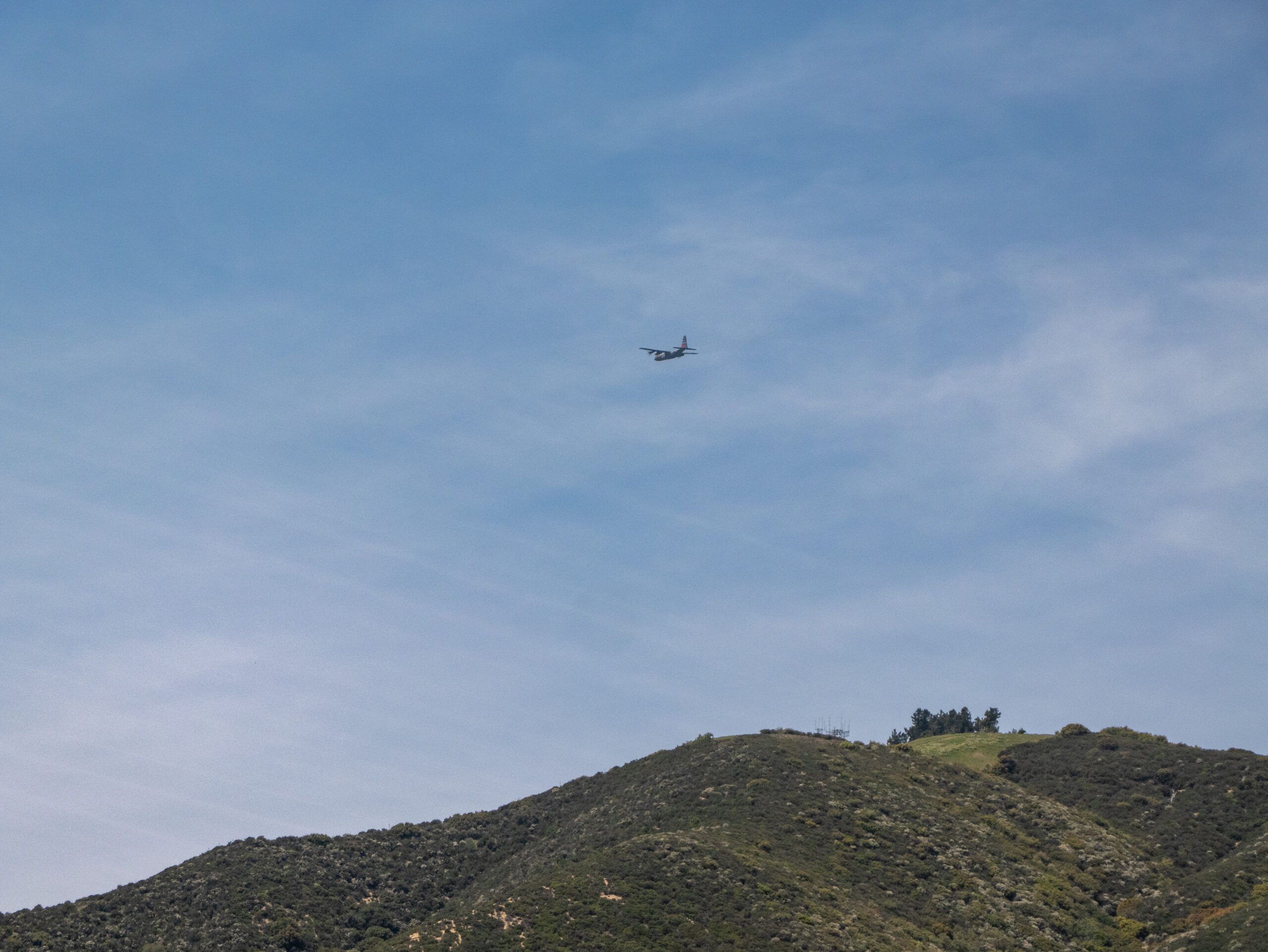
Somehow we were followed all day by fire-fighting planes circling around the mountain. There was no fire to be seen or smelled anywhere, but we could even watch the planes extinguish it, which was really impressive. Almost as fascinating was the lizard fight that we could watch live along the way.
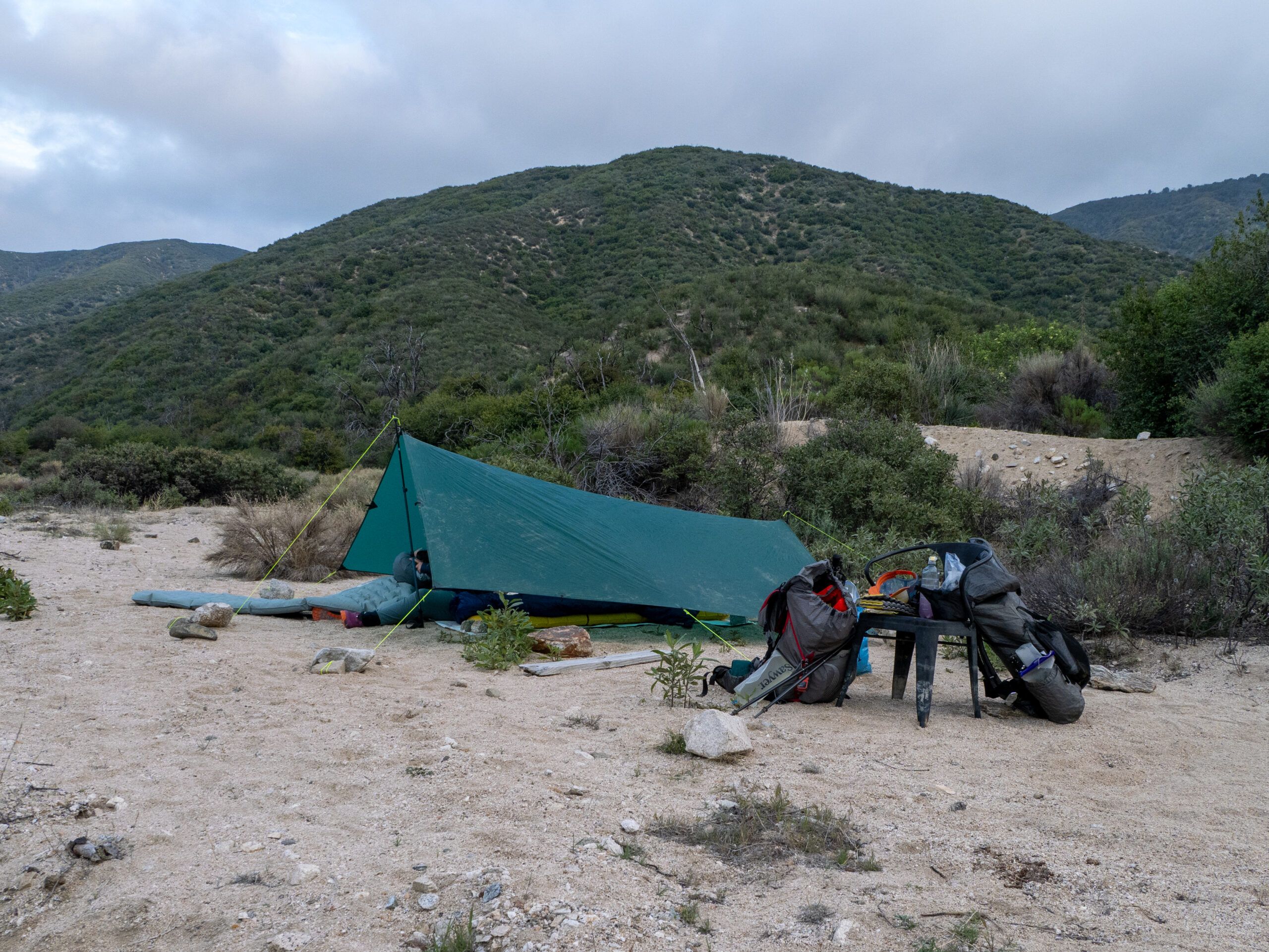
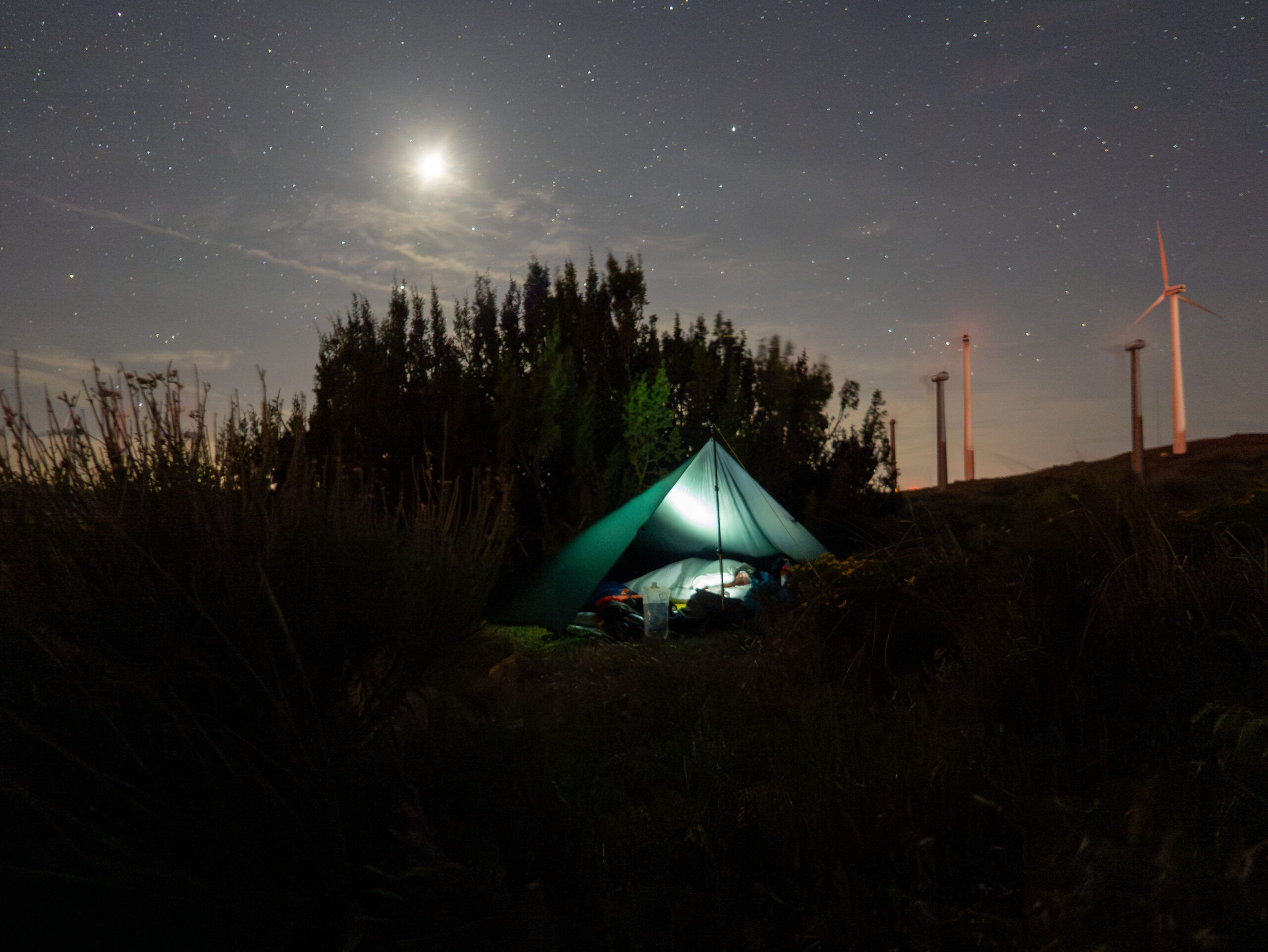
It was only when we reached the top and began the descent to Lake Hughes Road that we moved away from the noise of the planes. Now we reduced the altitude we had previously climbed and decided to set up our tarp near a small river. Directly in the sand, for a little beach feeling and a bit of a challenge when setting up. No peg would hold, but luckily there were enough stones nearby so that we were able to set it up properly using the “small and large stones method”. We are now becoming real pros at setting up tents – but cowboy camping was not an option in the wind.
The 25 km today seemed a lot less strenuous to me – probably because of the “only” 619 meters in altitude.
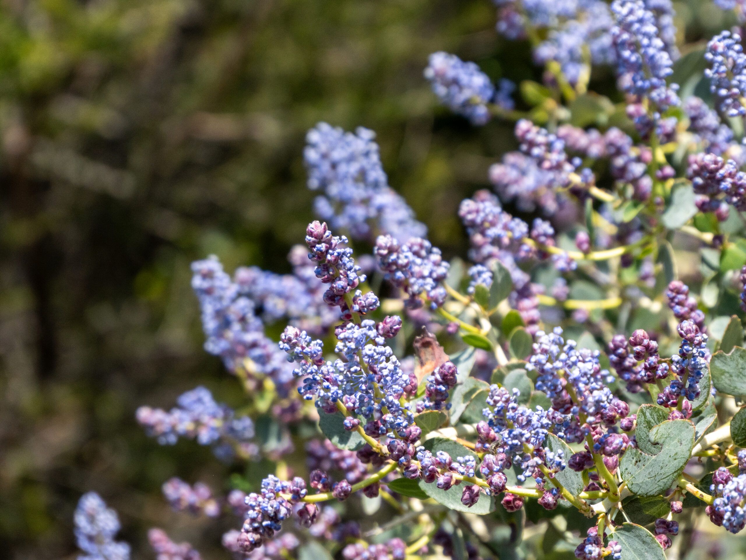
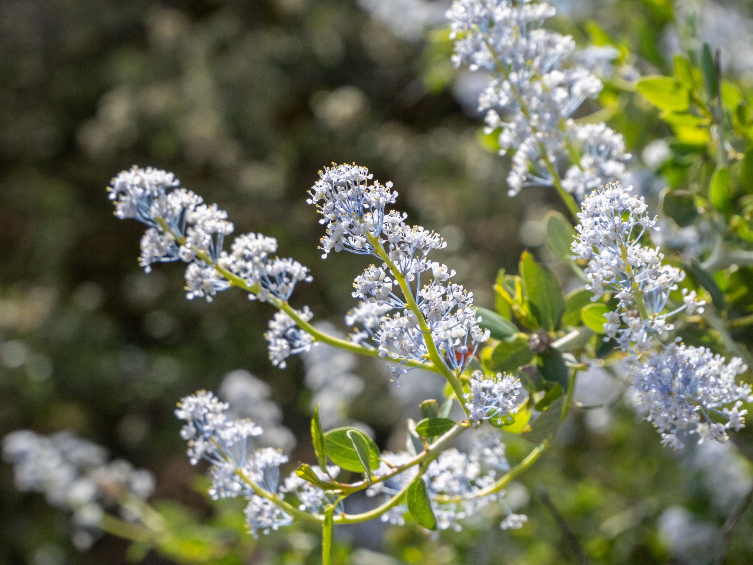
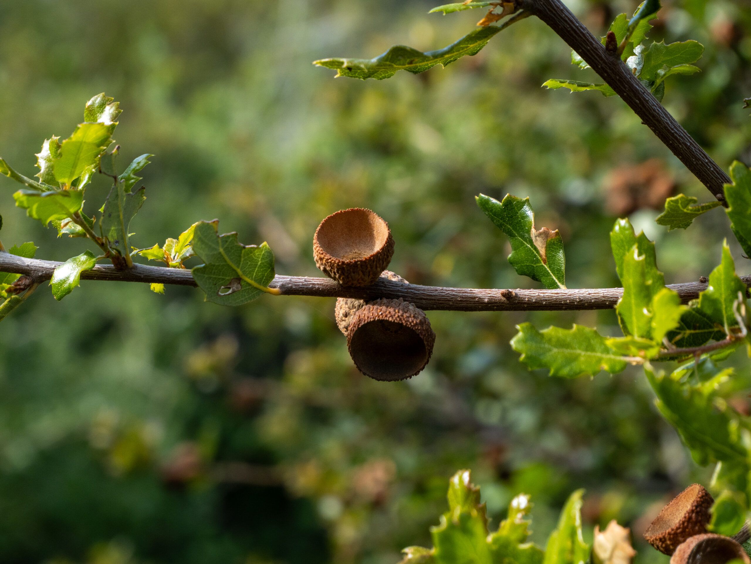
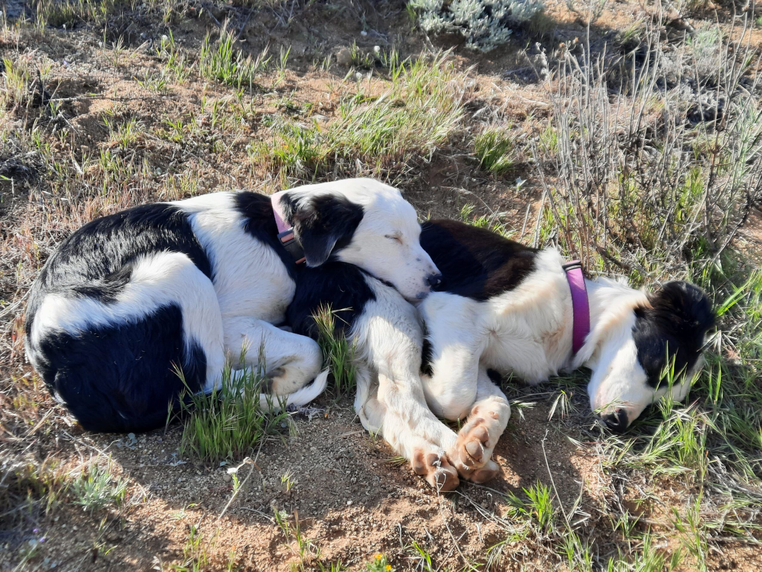
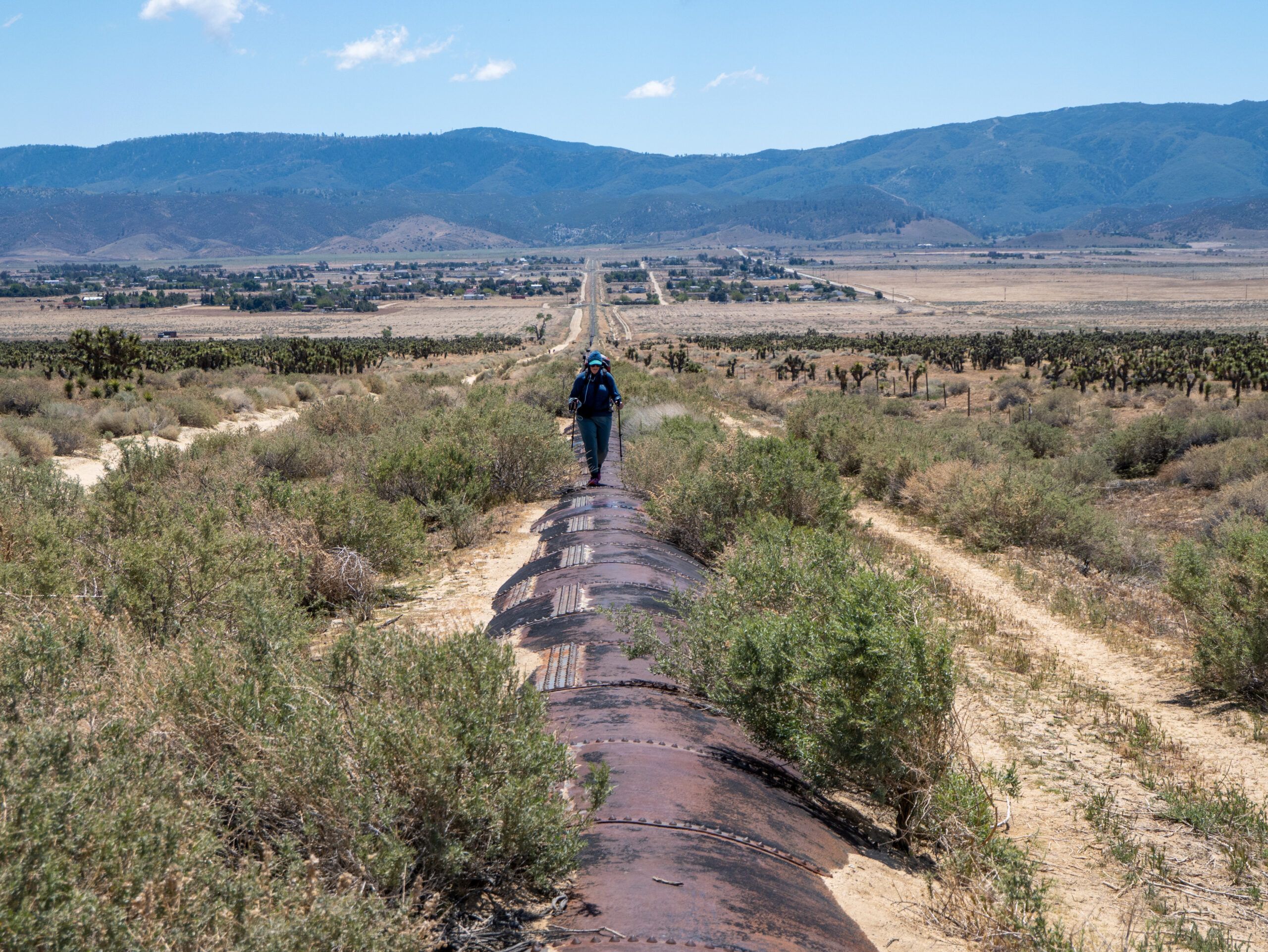
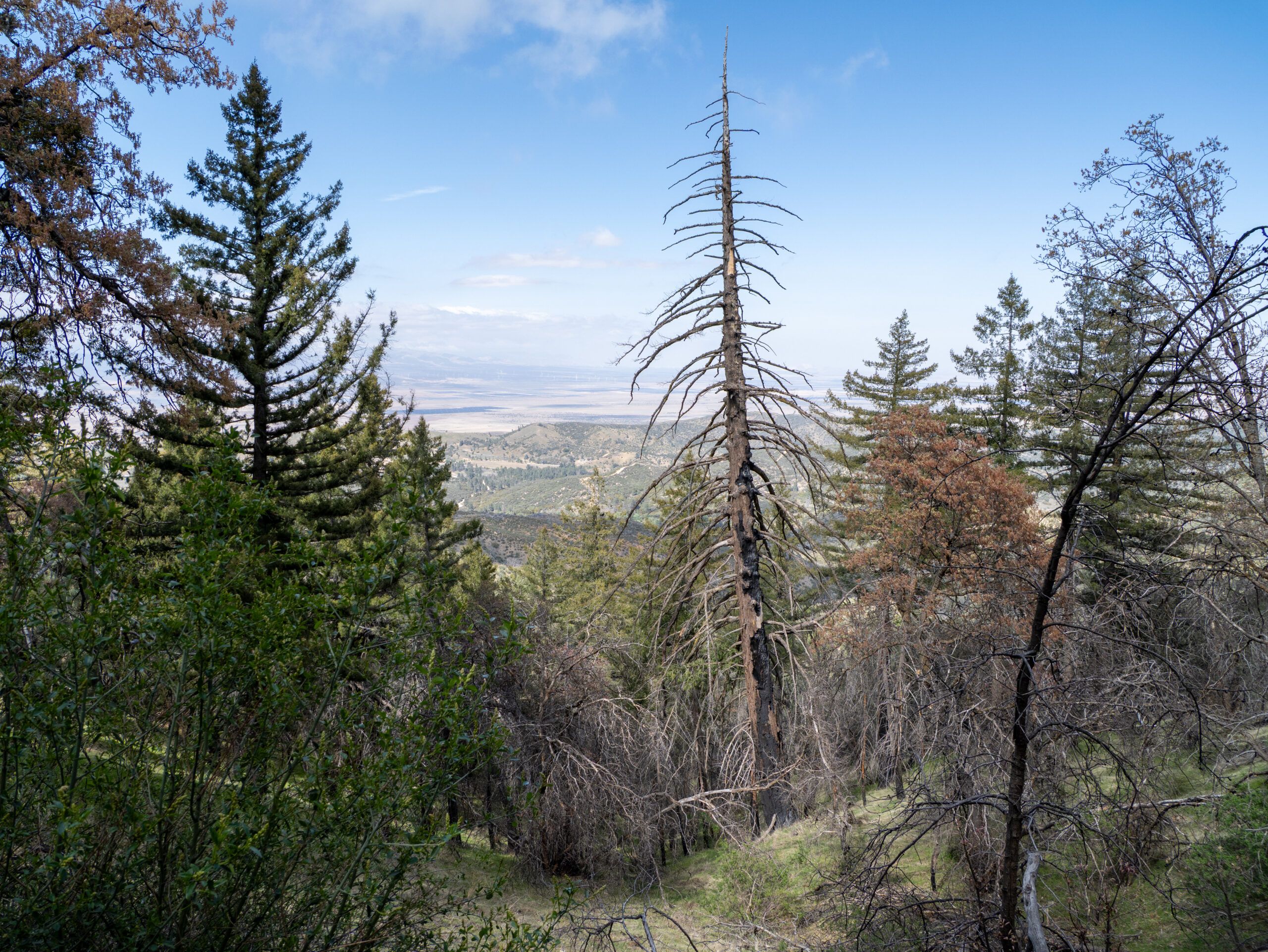
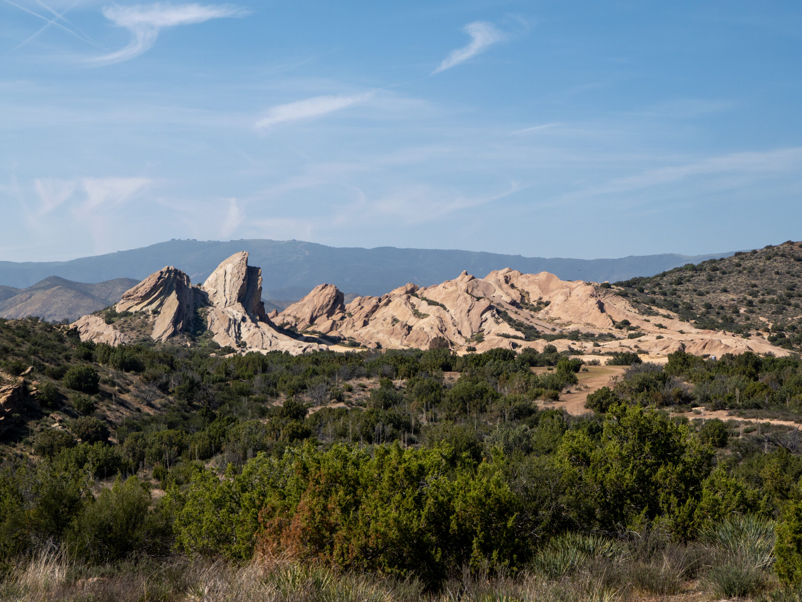
Pictures from our stage on the Pacific Crest Trail
Um dir ein optimales Erlebnis zu bieten, verwenden wir Technologien wie Cookies, um Geräteinformationen zu speichern und/oder darauf zuzugreifen. Wenn du diesen Technologien zustimmst, können wir Daten wie das Surfverhalten oder eindeutige IDs auf dieser Website verarbeiten. Wenn du deine Zustimmung nicht erteilst oder zurückziehst, können bestimmte Merkmale und Funktionen beeinträchtigt werden.
Funktional
Always active
Die technische Speicherung oder der Zugang ist unbedingt erforderlich für den rechtmäßigen Zweck, die Nutzung eines bestimmten Dienstes zu ermöglichen, der vom Teilnehmer oder Nutzer ausdrücklich gewünscht wird, oder für den alleinigen Zweck, die Übertragung einer Nachricht über ein elektronisches Kommunikationsnetz durchzuführen.
Vorlieben
Die technische Speicherung oder der Zugriff ist für den rechtmäßigen Zweck der Speicherung von Präferenzen erforderlich, die nicht vom Abonnenten oder Benutzer angefordert wurden.
Statistiken
Die technische Speicherung oder der Zugriff, der ausschließlich zu statistischen Zwecken erfolgt.Die technische Speicherung oder der Zugriff, der ausschließlich zu anonymen statistischen Zwecken verwendet wird. Ohne eine Vorladung, die freiwillige Zustimmung deines Internetdienstanbieters oder zusätzliche Aufzeichnungen von Dritten können die zu diesem Zweck gespeicherten oder abgerufenen Informationen allein in der Regel nicht dazu verwendet werden, dich zu identifizieren.
Marketing
Die technische Speicherung oder der Zugriff ist erforderlich, um Nutzerprofile zu erstellen, um Werbung zu versenden oder um den Nutzer auf einer Website oder über mehrere Websites hinweg zu ähnlichen Marketingzwecken zu verfolgen.