
In spring 2026 we walked the Camino Invierno, from Ponferrada to Santiago de Compostela. After our first pilgrimage route, the Camino Primitivo, we had caught the bug and wanted to see more of Spain – but I hadn’t liked everything about the Primitivo. I found it fairly crowded. Compared with the Camino Francés it’s still quiet, of course: in 2025, 242,033 pilgrims finished the Francés and 27,868 the Primitivo. With just 2,758 pilgrims, the Camino Invierno clearly stands out.
I only came across the route thanks to a YouTube comment, and after my first bit of research I had fallen in love with the red rocks of Las Médulas. That settled it: this would be our next Camino.
General information about the Camino Invierno
The Camino Invierno (“Winter Way”) runs for around 263 kilometres from Ponferrada to Santiago de Compostela and is usually walked in 10 to 12 stages. Most daily stages are between 20 and 28 kilometres; there are a few shorter days, and some stretch towards 30 kilometres.
You start in Ponferrada (around 550 m above sea level) in Castile and León, right at the famous Templar castle. From there the route branches off the Camino Francés and broadly follows the valley of the river Sil deep into Galicia. One special feature: the Camino Invierno is the only route that passes through all four Galician provinces – Ourense, Lugo, Pontevedra and A Coruña. On the last two stages, from around Lalín, it joins the Camino Sanabrés and shares the way with it all the way to the cathedral.
There are no big, rugged mountain passes like O Cebreiro on the Francés. Still, the Invierno is no flat stroll: because the route crosses several river valleys, it’s constantly up and down – mostly on fairly gentle but regular climbs. The highlights are the red rocks of Las Médulas (a UNESCO World Heritage Site) and the spectacular Ribeira Sacra wine region with its steep terraces above the Sil and the Miño. At 263 kilometres, the route is also well over the 100 kilometres you need for the Compostela.
In a nutshell:
- Distance: approx. 263 km
- Start / finish: Ponferrada → Santiago de Compostela
- Stages: 9–14 (depending on pace)
- Provinces: Castile and León plus all four Galician provinces
- Pilgrims in 2025: 2,758 (one of the quietest official routes)
The history of the Camino Invierno
The name gives it away. The Camino Invierno came into being in the Middle Ages as a “winter way” – an alternative route for pilgrims who wanted to avoid the snowy climb up to O Cebreiro on the Camino Francés. Instead of climbing into the mountains, they followed the lower-lying valley of the Sil into Galicia, which could be walked all year round.
But its roots go back much further. A long section of the route follows an old Roman road, built to carry gold away from the mines of Las Médulas. Las Médulas was the most important gold mine in the Roman Empire: using a canal system more than 100 kilometres long, the Romans channelled water to the site and used it to blast apart entire hills to get at the gold. What’s left is this eerily beautiful landscape of deep-red rock towers, which is now a UNESCO World Heritage Site.
So within a small area the Camino Invierno connects several eras: Roman mining, medieval pilgrim tradition, the Romanesque monasteries of the Ribeira Sacra and ancient villages. For a long time it was almost forgotten – only in recent years has it been revived as an official Camino route and better waymarked.
Getting there and around
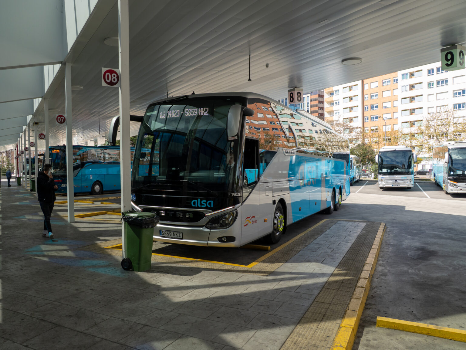
Getting there: Getting to the start and home again takes a bit of planning, as Ponferrada isn’t close to a major airport. We took the bus from Santiago de Compostela to Ponferrada, which took about 3 hours. There’s also a train connection, but it’s a little more expensive.
On the way: On the route itself we walked, of course. It’s good to know, though, that there are several railway stations along the way (including O Barco de Valdeorras, A Rúa, Quiroga and Monforte de Lemos). If you need to skip a stage or want to take a rest day somewhere, at least the larger towns give you the option of taking the train for a stretch.
Getting home: At the finish things are much easier. Santiago de Compostela has its own airport with connections to many European cities, plus rail and bus links. From here it’s easy to get back home or on to your next destination.
Accommodation on the Camino Invierno
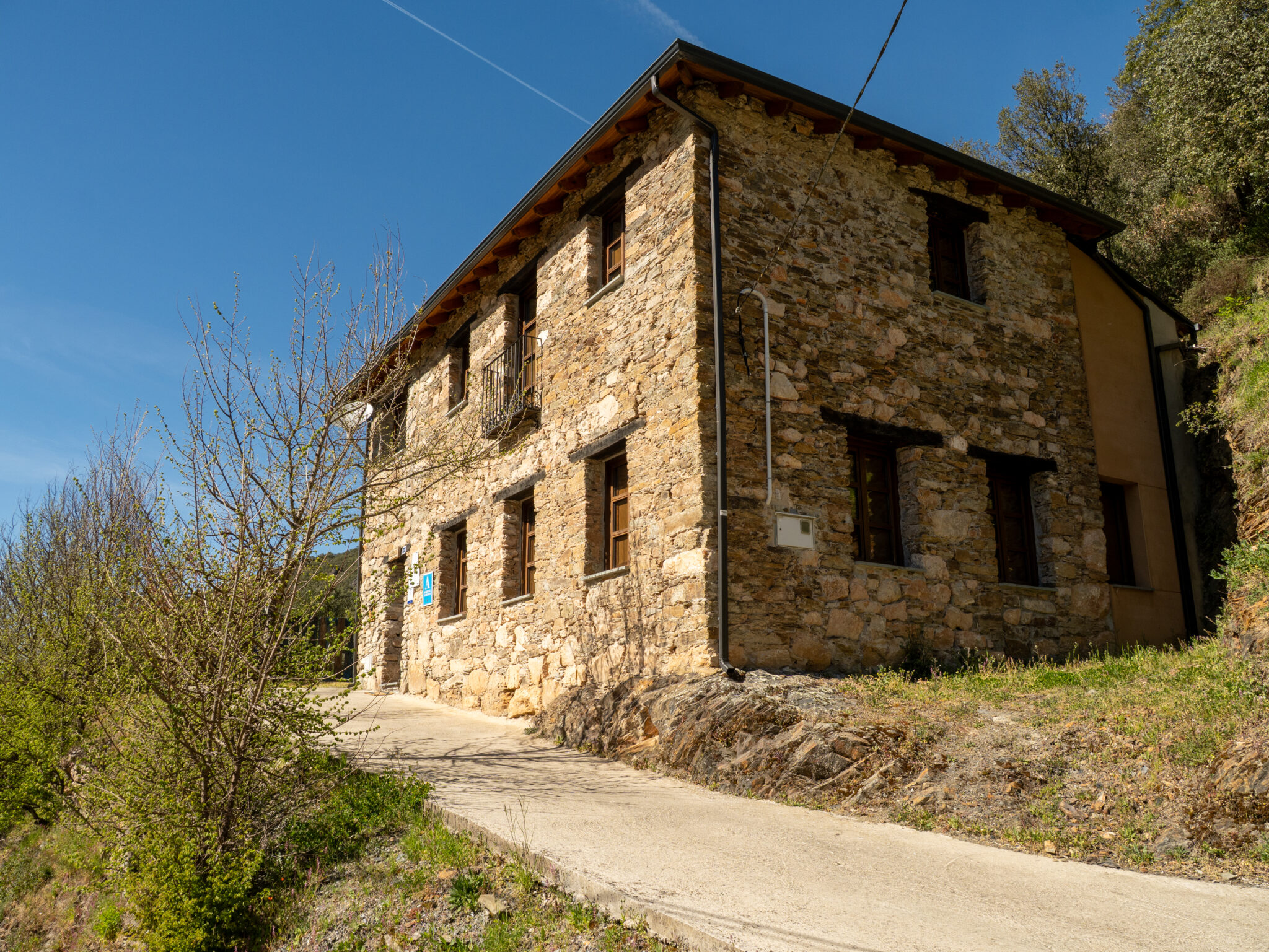
There are enough places to stay the night along the Camino. We had a mix of public albergues, dormitories and hotels. It felt like there were more public albergues on the Camino Primitivo, and in Quiroga we were a little worried at first that we wouldn’t find a bed – our arrival happened to coincide with a kind of local festival. In the end it worked out without any problems. We simply booked our accommodation via Booking, either the evening before or during the day. We always use Gronze for a good overview of the accommodation along the route.
Food and water on the Invierno
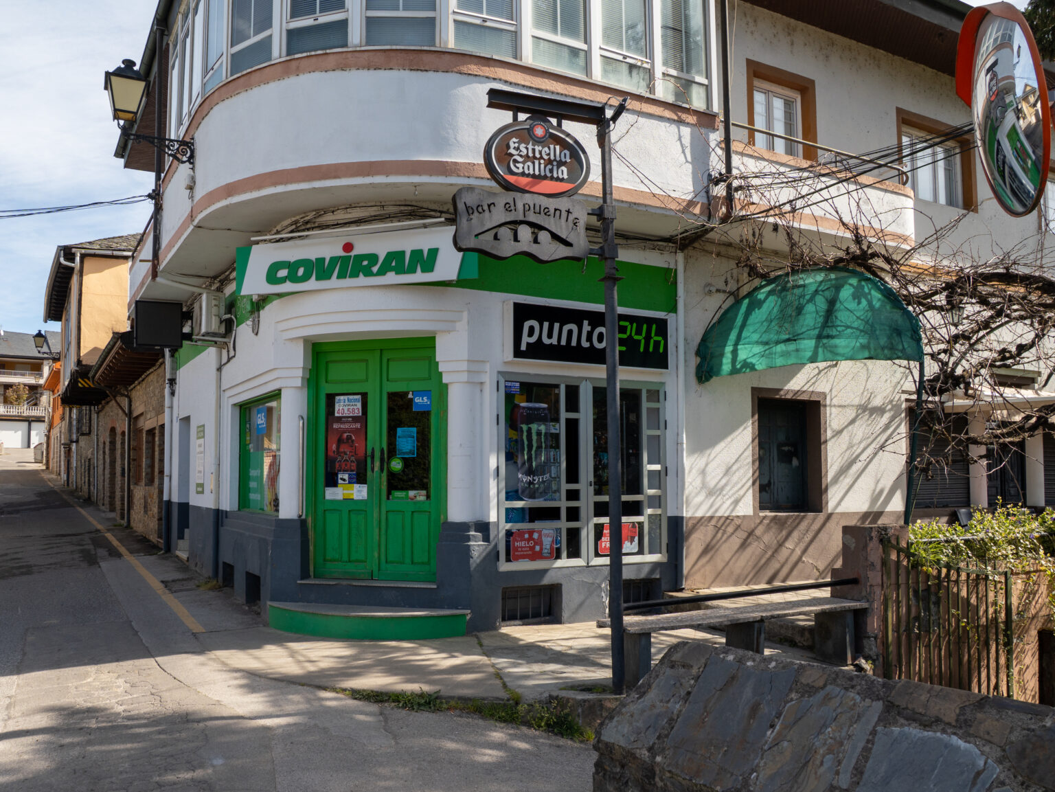
Getting food was fairly easy. You regularly pass restaurants and shops, and I’d rate the situation as similar to the Primitivo.
Only on the first stage did we have to bring the food we wanted to cook with us: we had planned a very short stage, and the tiny village at the end had neither shops nor restaurants. The albergue did have a good kitchen, though, so we could cook for ourselves. After that things got much easier – from then on you never really had to go long without somewhere to shop or eat.
On the Francés or the Camino Portugués, though, there are definitely more options for resupplying.
The weather in Galicia
The weather in Galicia is usually quite changeable, and I could hardly believe our luck when we finished the Camino Invierno with just a single day of rain – and that in early April. Overall it was very warm for us, over 20 degrees, and I carried my umbrella for nothing.
You shouldn’t expect it to be as good as we had it, though. In April, daytime highs along the route are more like 16 to 18 degrees, and at night it can still get quite chilly at around 5 to 7 degrees. Galicia is also considered one of the rainiest regions in Spain, and showers are possible at any time, especially in spring. For your packing list that means: rain protection and a warm layer for mornings and evenings belong in there – even if, with a bit of luck like ours, you barely end up needing either.
Our stages on the Camino Invierno
Officially the Camino Invierno is 263 kilometres long. We walked it in twelve stages and ended up with around 280 kilometres – depending on your route, detours and accommodation, it’ll look a little different for you.
Day 1: From the Templar castle out into the countryside
Ponferrada → Villavieja · approx. 20 km
We could hardly have had a nicer starting point: the Templar castle of Ponferrada is right on the route, and this is exactly where the Camino Invierno branches off the Camino Francés. If you know the Francés, you notice the difference immediately, because you’re almost alone from the very first kilometre. Via Toral de Merayo we left the town and headed into the Sil valley. In Villavieja there was neither a shop nor a restaurant, but the albergue had a good kitchen. So you need to do your shopping beforehand in Ponferrada.
Day 2: Castillo de Cornatel and the red rocks of Las Médulas
Villavieja → Puente de Domingo Flórez · approx. 23 km
This was the stage that made me want to walk the Invierno in the first place. Shortly after setting off, the Castillo de Cornatel comes into view, a castle ruin on a rocky spur that looks as if someone had put it there for a film. Via Borrenes we then continued to Las Médulas, once the largest gold mine in the Roman Empire. What’s left is a landscape of deep-red rock towers that is now a UNESCO World Heritage Site. The wildfire of August 2025 left clear traces, but for me it didn’t spoil the magic. If there’s one day on the Invierno to allow extra time for, it’s this one.
Day 3: Tarmac hell into Galicia
Puente de Domingo Flórez → A Rúa de Valdeorras · approx. 30 km
The day actually started perfectly: dreamlike scenery, pleasant paths and exactly the peace and quiet we had chosen the Invierno for. After Pumares we crossed the border into Galicia, and from there the route stays in the same region all the way to Santiago. From O Barco onwards, though, that was over. What followed was tarmac hell for me: asphalt, traffic and a road that is really busy in places. A quick dip in the water at least rescued the afternoon a little. It’s the only stage I found truly awful, and at 30 kilometres it was also one of the longest. If you’d rather skip it, there’s a railway station in O Barco.
Day 4: It gets better with every step
A Rúa de Valdeorras → Quiroga · approx. 30 km
After the previous day I was expecting the worst: another 30 kilometres and, according to the map, lots of road again. But it got more beautiful with every step, and it stayed that way all day.
Day 5: Six kilometres of tarmac and a pace I could barely keep up with
Quiroga → A Pobra do Brollón · approx. 23 km
After a short night – our room neighbours had turned it into day – we started with six kilometres on asphalt. At least it was on quiet roads and through villages that were still fast asleep. After that the route switched to gravel tracks and the day became much more pleasant. Kathi really set the pace that day; I could only just keep up and still stopped every few metres because there was something to photograph everywhere. Along the way we also learned how big Galician insects can get. A short section near the end was the worst stretch of path on the whole Camino, but luckily it was soon over.
Day 6: The shortest day – right in the middle of a medieval market
A Pobra do Brollón → Monforte de Lemos · approx. 13 km
13 kilometres felt like half a rest day. In places the route follows the railway line, where storks have built their nests on the masts. In Monforte de Lemos a really impressive castle towers over the town, and we landed right in the middle of a medieval market where it felt like half the Templar re-enactment scene was out in costume. After days on an almost empty pilgrim route, that was quite a contrast. By the way, Monforte de Lemos is a good place for a rest day: plenty to see, good supplies and a railway station.
Day 7: The longest day – up into the Ribeira Sacra
Monforte de Lemos → Chantada · approx. 30.4 km
This was the longest and toughest day of our Camino. We set off while it was still dark, past the medieval market at night, and later saw the castle bathed in the sunrise. That alone made getting up early worth it. The first part was easy: Spanish country roads, small villages, flat. From the wine-growing area around Belesar, though, it went seriously uphill. The Ribeira Sacra with its terraces above the Sil and the Miño is the scenic highlight of the whole route – but you pay for it with plenty of elevation gain. If you don’t fancy 30 kilometres plus the climb, you’d be better off splitting the stage.
Day 8: Up to the highest point of the Invierno
Chantada → Rodeiro · approx. 25.4 km
Here Kathi and I went our separate ways for a while. She took the alternative route, and I took the main route over the highest point of the entire Camino Invierno. At the top is the Ermita de Nosa Señora do Faro, a small pilgrimage chapel with wide views over Galicia. The climb drags on but is steady. There are no rugged passes like on the Francés anywhere on the Invierno.
Day 9: The only rainy day – and a traffic jam on top of it
Rodeiro → Lalín · approx. 25.4 km
After eight dry days it finally caught up with us, and it remained the only day of rain on the entire Camino. In early April in Galicia you really can’t count on that kind of luck. The route leads through green, hilly countryside that actually looks especially good in the drizzle.
Day 10: Short, green and a river to wade through
Lalín → Silleda · approx. 15 km
At 15 kilometres, another short day, which first took us through Lalín and a park and got really beautiful in the second half. In Silleda we had a lovely holiday apartment and cooked together in the evening.
Day 11: The penultimate day
Silleda → Eiravedra · approx. 24 km
24 quiet kilometres on which nothing special happened. In Eiravedra we then spent our last night before Santiago.
Day 12: Setting off in the dark for the final 20 kilometres
Eiravedra → Santiago de Compostela · approx. 20 km
The last day started before dawn, because we wanted to arrive while the city was still reasonably quiet. The approach into Santiago is notorious on the other routes – kilometres of suburbs, industry and traffic. Coming in via the Invierno, or rather the Sanabrés, was much quieter and nicer than anything we knew from the Primitivo. 263 official kilometres, around 280 for us, twelve days and a single day of rain.
The best way to see what these twelve days felt like is the film at the top. It shows the entire Camino Invierno from Ponferrada to Santiago in one go.