LnRiLWdyaWQsLnRiLWdyaWQ+LmJsb2NrLWVkaXRvci1pbm5lci1ibG9ja3M+LmJsb2NrLWVkaXRvci1ibG9jay1saXN0X19sYXlvdXR7ZGlzcGxheTpncmlkO2dyaWQtcm93LWdhcDoyNXB4O2dyaWQtY29sdW1uLWdhcDoyNXB4fS50Yi1ncmlkLWl0ZW17YmFja2dyb3VuZDojZDM4YTAzO3BhZGRpbmc6MzBweH0udGItZ3JpZC1jb2x1bW57ZmxleC13cmFwOndyYXB9LnRiLWdyaWQtY29sdW1uPip7d2lkdGg6MTAwJX0udGItZ3JpZC1jb2x1bW4udGItZ3JpZC1hbGlnbi10b3B7d2lkdGg6MTAwJTtkaXNwbGF5OmZsZXg7YWxpZ24tY29udGVudDpmbGV4LXN0YXJ0fS50Yi1ncmlkLWNvbHVtbi50Yi1ncmlkLWFsaWduLWNlbnRlcnt3aWR0aDoxMDAlO2Rpc3BsYXk6ZmxleDthbGlnbi1jb250ZW50OmNlbnRlcn0udGItZ3JpZC1jb2x1bW4udGItZ3JpZC1hbGlnbi1ib3R0b217d2lkdGg6MTAwJTtkaXNwbGF5OmZsZXg7YWxpZ24tY29udGVudDpmbGV4LWVuZH0gLndwdi12aWV3LW91dHB1dFtkYXRhLXRvb2xzZXQtdmlld3Mtdmlldy1lZGl0b3I9ImRmMTJlYzAzZmNiNzMxMjgwNjk2MGM1MDk4Yjk5ZmUyIl0gPiAudGItZ3JpZC1jb2x1bW46bnRoLW9mLXR5cGUoNW4gKyAxKSB7IGdyaWQtY29sdW1uOiAxIH0gLndwdi12aWV3LW91dHB1dFtkYXRhLXRvb2xzZXQtdmlld3Mtdmlldy1lZGl0b3I9ImRmMTJlYzAzZmNiNzMxMjgwNjk2MGM1MDk4Yjk5ZmUyIl0gPiAudGItZ3JpZC1jb2x1bW46bnRoLW9mLXR5cGUoNW4gKyAyKSB7IGdyaWQtY29sdW1uOiAyIH0gLndwdi12aWV3LW91dHB1dFtkYXRhLXRvb2xzZXQtdmlld3Mtdmlldy1lZGl0b3I9ImRmMTJlYzAzZmNiNzMxMjgwNjk2MGM1MDk4Yjk5ZmUyIl0gPiAudGItZ3JpZC1jb2x1bW46bnRoLW9mLXR5cGUoNW4gKyAzKSB7IGdyaWQtY29sdW1uOiAzIH0gLndwdi12aWV3LW91dHB1dFtkYXRhLXRvb2xzZXQtdmlld3Mtdmlldy1lZGl0b3I9ImRmMTJlYzAzZmNiNzMxMjgwNjk2MGM1MDk4Yjk5ZmUyIl0gPiAudGItZ3JpZC1jb2x1bW46bnRoLW9mLXR5cGUoNW4gKyA0KSB7IGdyaWQtY29sdW1uOiA0IH0gLndwdi12aWV3LW91dHB1dFtkYXRhLXRvb2xzZXQtdmlld3Mtdmlldy1lZGl0b3I9ImRmMTJlYzAzZmNiNzMxMjgwNjk2MGM1MDk4Yjk5ZmUyIl0gPiAudGItZ3JpZC1jb2x1bW46bnRoLW9mLXR5cGUoNW4gKyA1KSB7IGdyaWQtY29sdW1uOiA1IH0gLndwdi12aWV3LW91dHB1dFtkYXRhLXRvb2xzZXQtdmlld3Mtdmlldy1lZGl0b3I9ImRmMTJlYzAzZmNiNzMxMjgwNjk2MGM1MDk4Yjk5ZmUyIl0gLmpzLXdwdi1sb29wLXdyYXBwZXIgPiAudGItZ3JpZCB7IGdyaWQtdGVtcGxhdGUtY29sdW1uczogbWlubWF4KDAsIDAuMmZyKSBtaW5tYXgoMCwgMC4yZnIpIG1pbm1heCgwLCAwLjJmcikgbWlubWF4KDAsIDAuMmZyKSBtaW5tYXgoMCwgMC4yZnIpO2dyaWQtYXV0by1mbG93OiByb3cgfSAud3B2LXBhZ2luYXRpb24tbmF2LWxpbmtzW2RhdGEtdG9vbHNldC12aWV3cy12aWV3LXBhZ2luYXRpb24tYmxvY2s9ImNkZmQ0YzQ3MzdiMjg5OGViYTQ0NDNkZDU5YTFiZjUwIl0geyB0ZXh0LWFsaWduOiBsZWZ0O2p1c3RpZnktY29udGVudDogZmxleC1zdGFydDsgfSAgQG1lZGlhIG9ubHkgc2NyZWVuIGFuZCAobWF4LXdpZHRoOiA3ODFweCkgeyAudGItZ3JpZCwudGItZ3JpZD4uYmxvY2stZWRpdG9yLWlubmVyLWJsb2Nrcz4uYmxvY2stZWRpdG9yLWJsb2NrLWxpc3RfX2xheW91dHtkaXNwbGF5OmdyaWQ7Z3JpZC1yb3ctZ2FwOjI1cHg7Z3JpZC1jb2x1bW4tZ2FwOjI1cHh9LnRiLWdyaWQtaXRlbXtiYWNrZ3JvdW5kOiNkMzhhMDM7cGFkZGluZzozMHB4fS50Yi1ncmlkLWNvbHVtbntmbGV4LXdyYXA6d3JhcH0udGItZ3JpZC1jb2x1bW4+Knt3aWR0aDoxMDAlfS50Yi1ncmlkLWNvbHVtbi50Yi1ncmlkLWFsaWduLXRvcHt3aWR0aDoxMDAlO2Rpc3BsYXk6ZmxleDthbGlnbi1jb250ZW50OmZsZXgtc3RhcnR9LnRiLWdyaWQtY29sdW1uLnRiLWdyaWQtYWxpZ24tY2VudGVye3dpZHRoOjEwMCU7ZGlzcGxheTpmbGV4O2FsaWduLWNvbnRlbnQ6Y2VudGVyfS50Yi1ncmlkLWNvbHVtbi50Yi1ncmlkLWFsaWduLWJvdHRvbXt3aWR0aDoxMDAlO2Rpc3BsYXk6ZmxleDthbGlnbi1jb250ZW50OmZsZXgtZW5kfSAud3B2LXZpZXctb3V0cHV0W2RhdGEtdG9vbHNldC12aWV3cy12aWV3LWVkaXRvcj0iZGYxMmVjMDNmY2I3MzEyODA2OTYwYzUwOThiOTlmZTIiXSA+IC50Yi1ncmlkLWNvbHVtbjpudGgtb2YtdHlwZSgzbiArIDEpIHsgZ3JpZC1jb2x1bW46IDEgfSAud3B2LXZpZXctb3V0cHV0W2RhdGEtdG9vbHNldC12aWV3cy12aWV3LWVkaXRvcj0iZGYxMmVjMDNmY2I3MzEyODA2OTYwYzUwOThiOTlmZTIiXSA+IC50Yi1ncmlkLWNvbHVtbjpudGgtb2YtdHlwZSgzbiArIDIpIHsgZ3JpZC1jb2x1bW46IDIgfSAud3B2LXZpZXctb3V0cHV0W2RhdGEtdG9vbHNldC12aWV3cy12aWV3LWVkaXRvcj0iZGYxMmVjMDNmY2I3MzEyODA2OTYwYzUwOThiOTlmZTIiXSA+IC50Yi1ncmlkLWNvbHVtbjpudGgtb2YtdHlwZSgzbiArIDMpIHsgZ3JpZC1jb2x1bW46IDMgfSAud3B2LXZpZXctb3V0cHV0W2RhdGEtdG9vbHNldC12aWV3cy12aWV3LWVkaXRvcj0iZGYxMmVjMDNmY2I3MzEyODA2OTYwYzUwOThiOTlmZTIiXSAuanMtd3B2LWxvb3Atd3JhcHBlciA+IC50Yi1ncmlkIHsgZ3JpZC10ZW1wbGF0ZS1jb2x1bW5zOiBtaW5tYXgoMCwgMC4zMzMzZnIpIG1pbm1heCgwLCAwLjMzMzNmcikgbWlubWF4KDAsIDAuMzMzM2ZyKTtncmlkLWF1dG8tZmxvdzogcm93IH0gICB9IEBtZWRpYSBvbmx5IHNjcmVlbiBhbmQgKG1heC13aWR0aDogNTk5cHgpIHsgLnRiLWdyaWQsLnRiLWdyaWQ+LmJsb2NrLWVkaXRvci1pbm5lci1ibG9ja3M+LmJsb2NrLWVkaXRvci1ibG9jay1saXN0X19sYXlvdXR7ZGlzcGxheTpncmlkO2dyaWQtcm93LWdhcDoyNXB4O2dyaWQtY29sdW1uLWdhcDoyNXB4fS50Yi1ncmlkLWl0ZW17YmFja2dyb3VuZDojZDM4YTAzO3BhZGRpbmc6MzBweH0udGItZ3JpZC1jb2x1bW57ZmxleC13cmFwOndyYXB9LnRiLWdyaWQtY29sdW1uPip7d2lkdGg6MTAwJX0udGItZ3JpZC1jb2x1bW4udGItZ3JpZC1hbGlnbi10b3B7d2lkdGg6MTAwJTtkaXNwbGF5OmZsZXg7YWxpZ24tY29udGVudDpmbGV4LXN0YXJ0fS50Yi1ncmlkLWNvbHVtbi50Yi1ncmlkLWFsaWduLWNlbnRlcnt3aWR0aDoxMDAlO2Rpc3BsYXk6ZmxleDthbGlnbi1jb250ZW50OmNlbnRlcn0udGItZ3JpZC1jb2x1bW4udGItZ3JpZC1hbGlnbi1ib3R0b217d2lkdGg6MTAwJTtkaXNwbGF5OmZsZXg7YWxpZ24tY29udGVudDpmbGV4LWVuZH0gLndwdi12aWV3LW91dHB1dFtkYXRhLXRvb2xzZXQtdmlld3Mtdmlldy1lZGl0b3I9ImRmMTJlYzAzZmNiNzMxMjgwNjk2MGM1MDk4Yjk5ZmUyIl0gID4gLnRiLWdyaWQtY29sdW1uOm50aC1vZi10eXBlKDFuKzEpIHsgZ3JpZC1jb2x1bW46IDEgfSAud3B2LXZpZXctb3V0cHV0W2RhdGEtdG9vbHNldC12aWV3cy12aWV3LWVkaXRvcj0iZGYxMmVjMDNmY2I3MzEyODA2OTYwYzUwOThiOTlmZTIiXSAuanMtd3B2LWxvb3Atd3JhcHBlciA+IC50Yi1ncmlkIHsgZ3JpZC10ZW1wbGF0ZS1jb2x1bW5zOiBtaW5tYXgoMCwgMWZyKTtncmlkLWF1dG8tZmxvdzogcm93IH0gICB9IA==
LnRiLWZpZWxke21hcmdpbi1ib3R0b206MC43NmVtfS50Yi1maWVsZC0tbGVmdHt0ZXh0LWFsaWduOmxlZnR9LnRiLWZpZWxkLS1jZW50ZXJ7dGV4dC1hbGlnbjpjZW50ZXJ9LnRiLWZpZWxkLS1yaWdodHt0ZXh0LWFsaWduOnJpZ2h0fS50Yi1maWVsZF9fc2t5cGVfcHJldmlld3twYWRkaW5nOjEwcHggMjBweDtib3JkZXItcmFkaXVzOjNweDtjb2xvcjojZmZmO2JhY2tncm91bmQ6IzAwYWZlZTtkaXNwbGF5OmlubGluZS1ibG9ja311bC5nbGlkZV9fc2xpZGVze21hcmdpbjowfQ==
Together with my parents, we undertook this beautiful hike between Tanne and Trautenstein in the Harz Mountains and collected 5 stamps along the way. We parked centrally between the two towns in a hikers’ parking lot on the B242. If you prefer to start directly in Trautenstein, you can of course do this too, as it is a circular route.
The route we have chosen deviates slightly from the recommended route to avoid a dead end. Only the last section out of Trautenstein is not ideal, as you have to walk along the grass verge next to the B242 for a short stretch. To reduce the time spent on the road, you could alternatively walk west of Trautenstein, but this would lengthen the route somewhat.
Stamps to collect
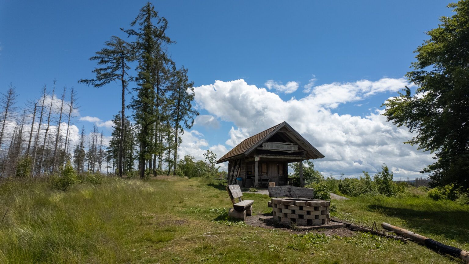
- No. 44 Kapitalsberg
- No. 56 Rappbodeblick Trautenstein
- No. 53 Hassel dam
- No. 52 Trageburg
- No. 49 Grüntal
Route description for the hike between Tanne and Trautenstein
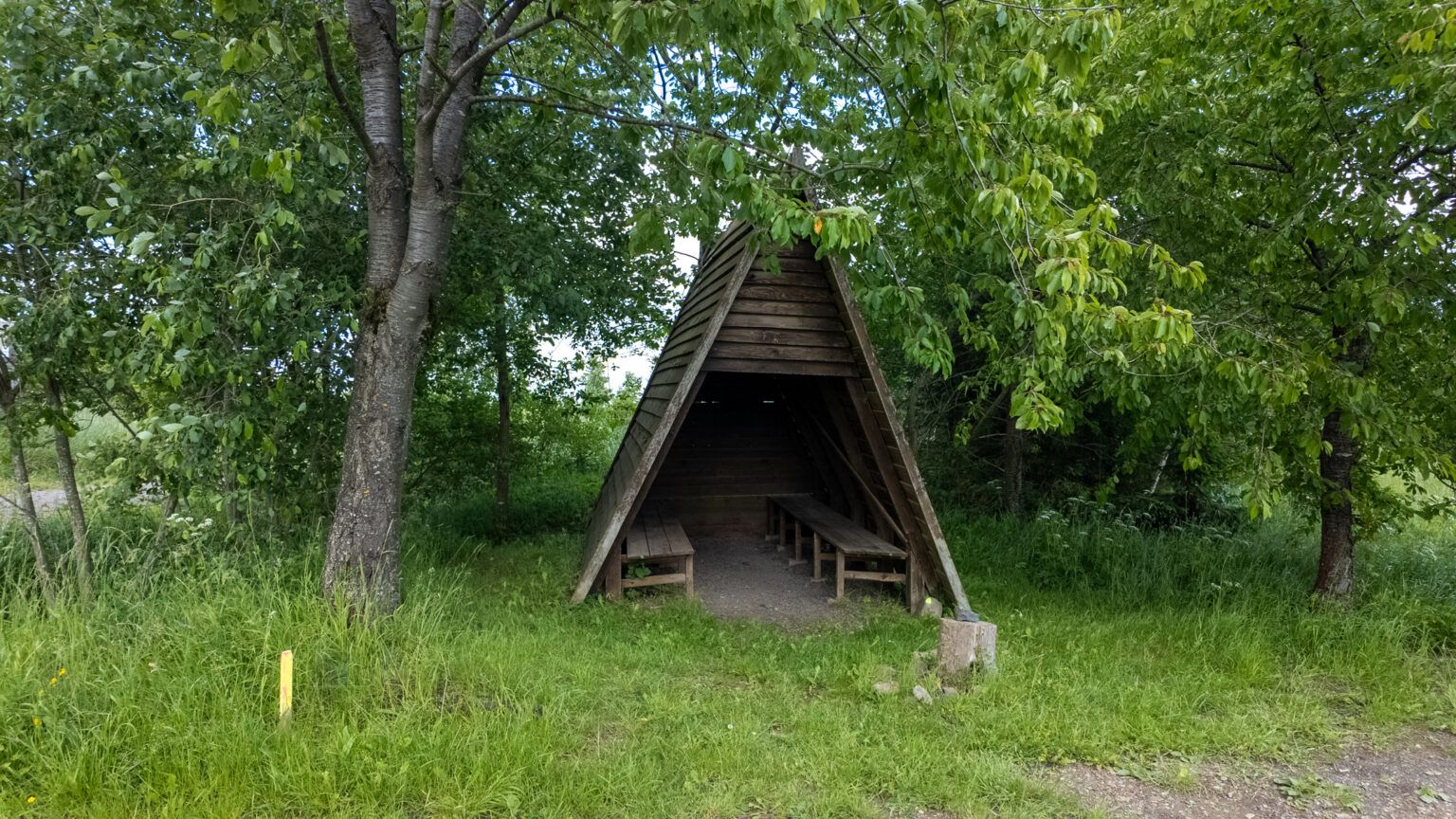
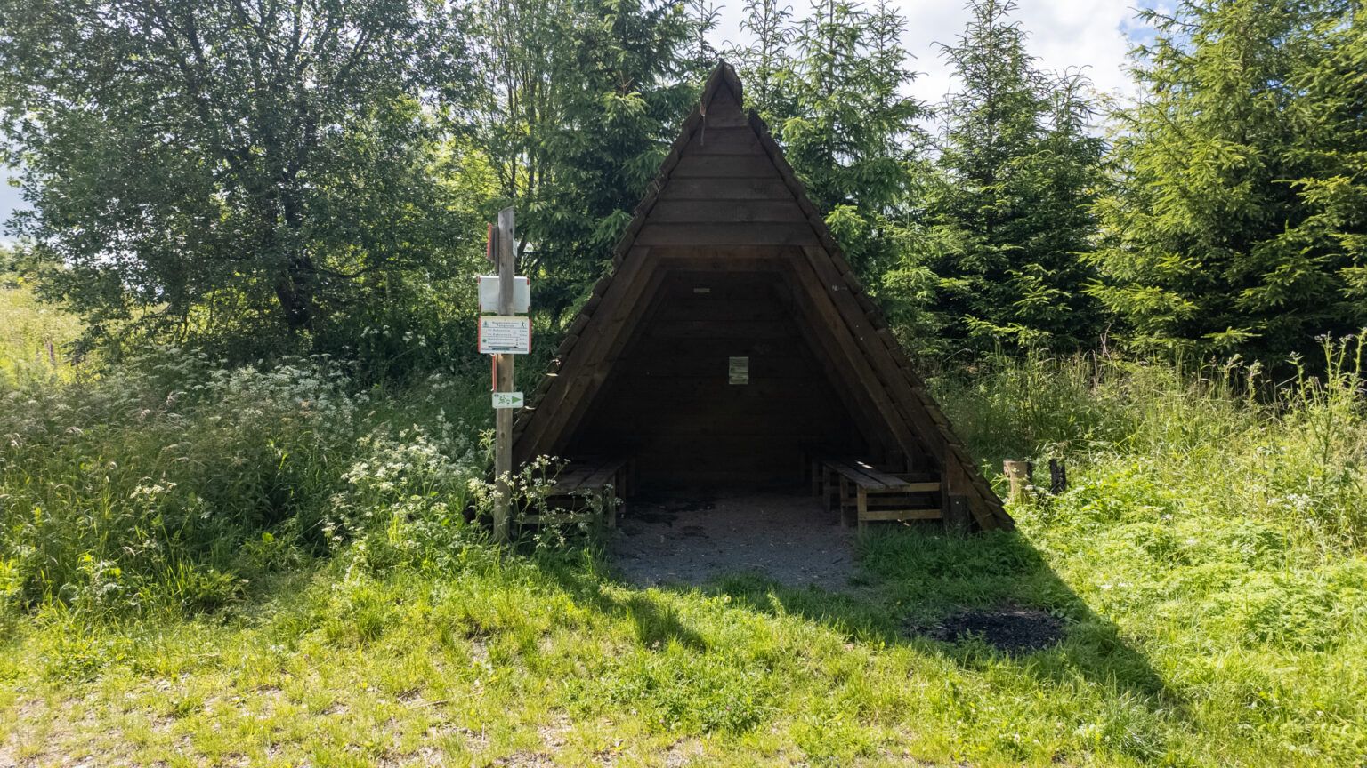
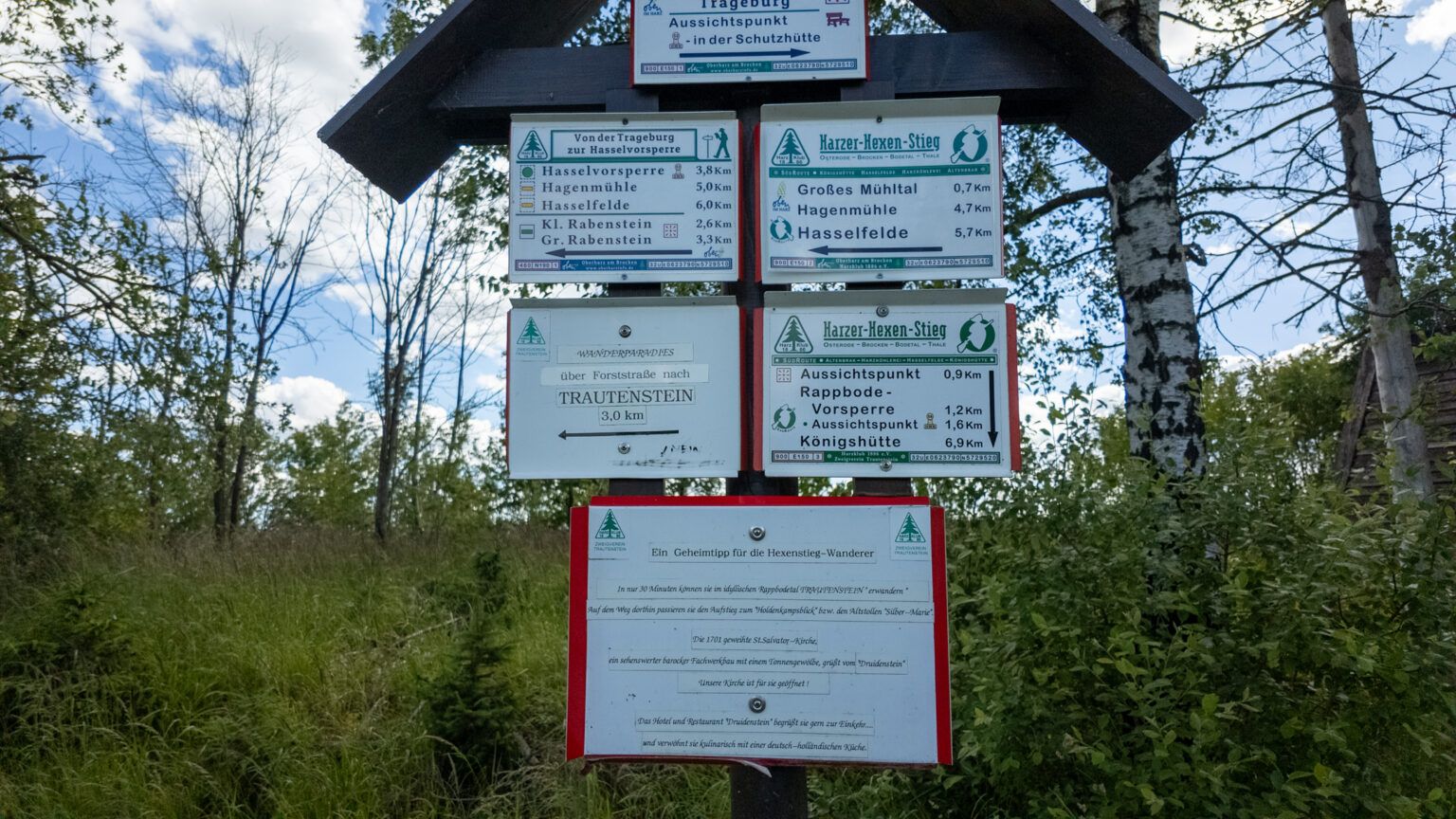
From the hiking parking lot, we cross the road and head in the direction of stamp point 44. A well-kept hut with a wonderful view of the surrounding area awaits us on the Kapitalsberg. After a short walk back, we turn left and follow the southern bypass of the Hexenstieg to Rappbodeblick Trautenstein (stamp point no. 56). There, a bench invites you to linger with a view of the dam wall. If this is occupied, there is a short detour over the dam wall, where we can take a rest as if on a deer hide.
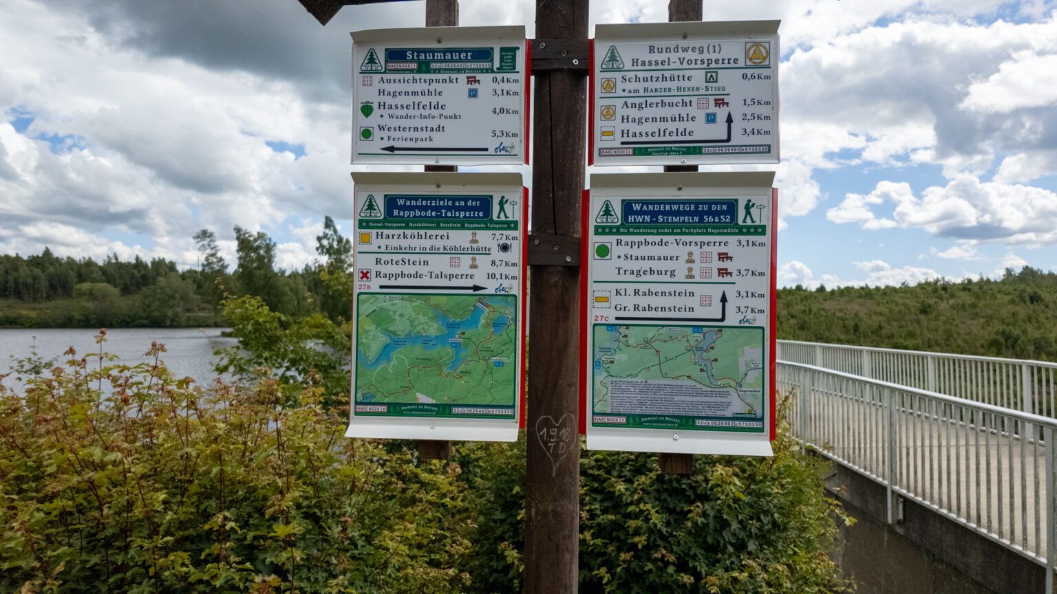
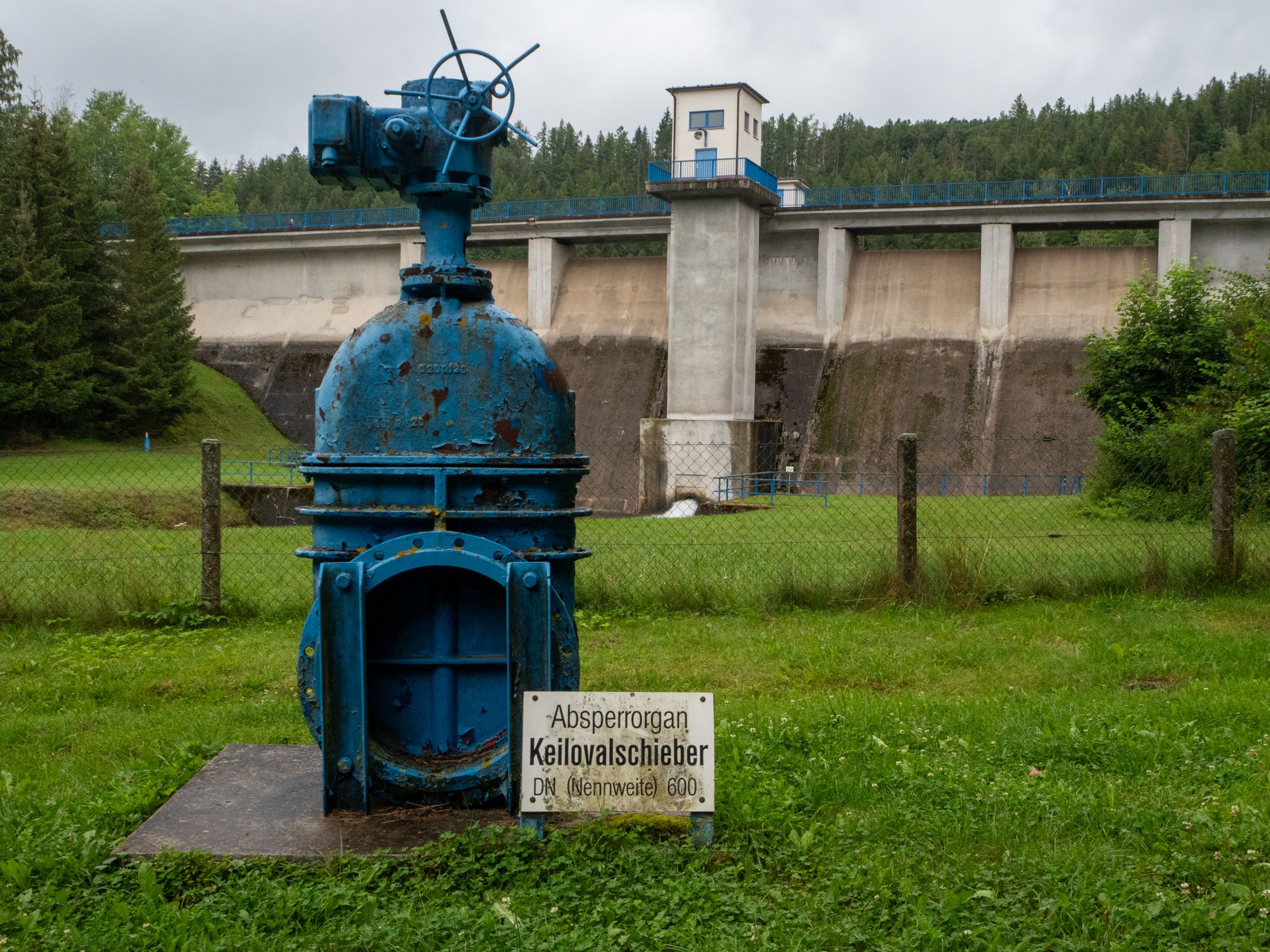
The route continues slightly uphill to stamp point no. 53 at the Hassel reservoir. Unfortunately, I had lured us into a dead end here and we had to make our way through the bushes on the bank. As it turned out, this was probably not an isolated incident, as a path had been incorrectly marked on my OpenStreetMap. After crossing the dam wall, however, we had the next stamp in our luggage.
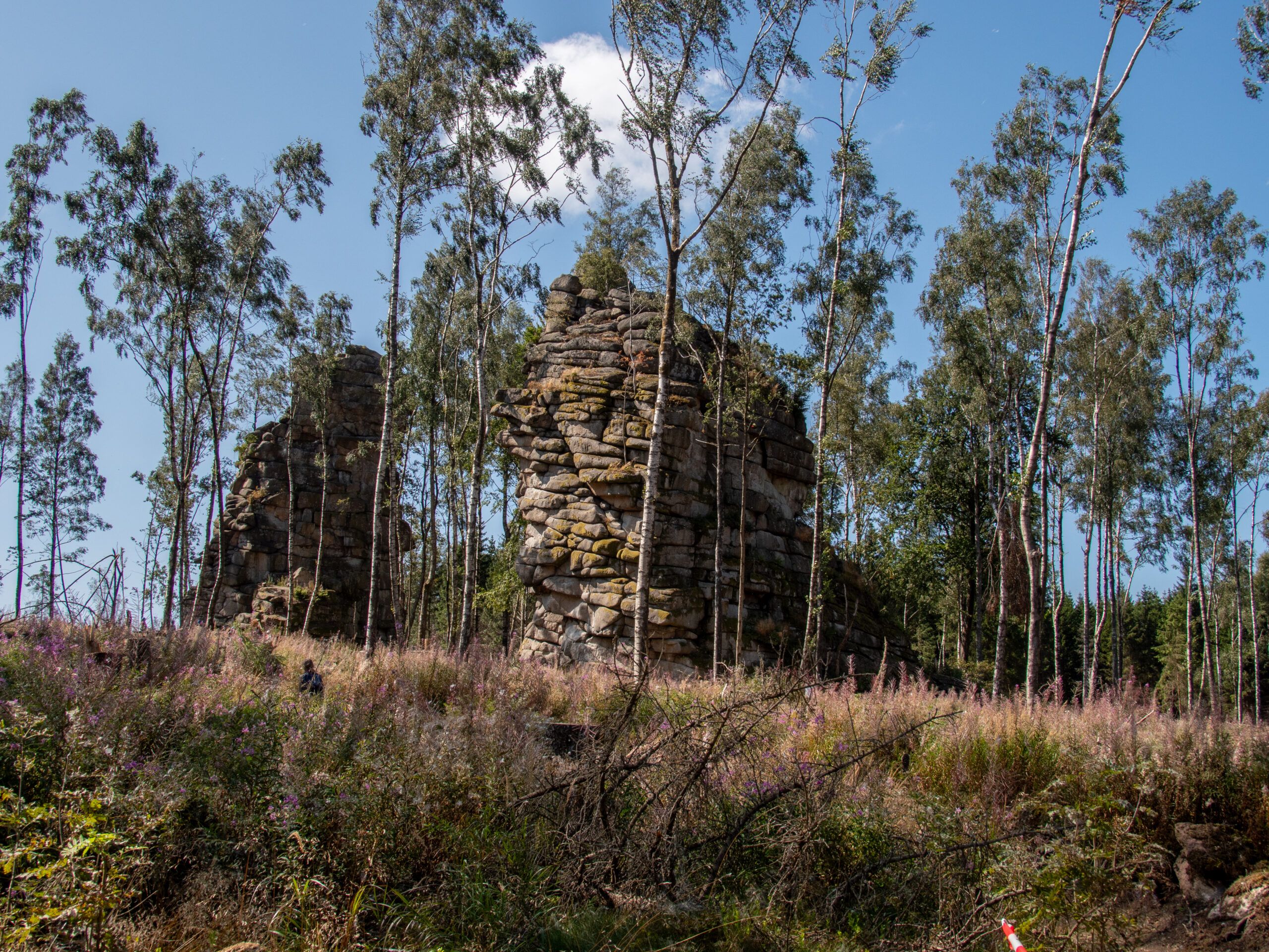
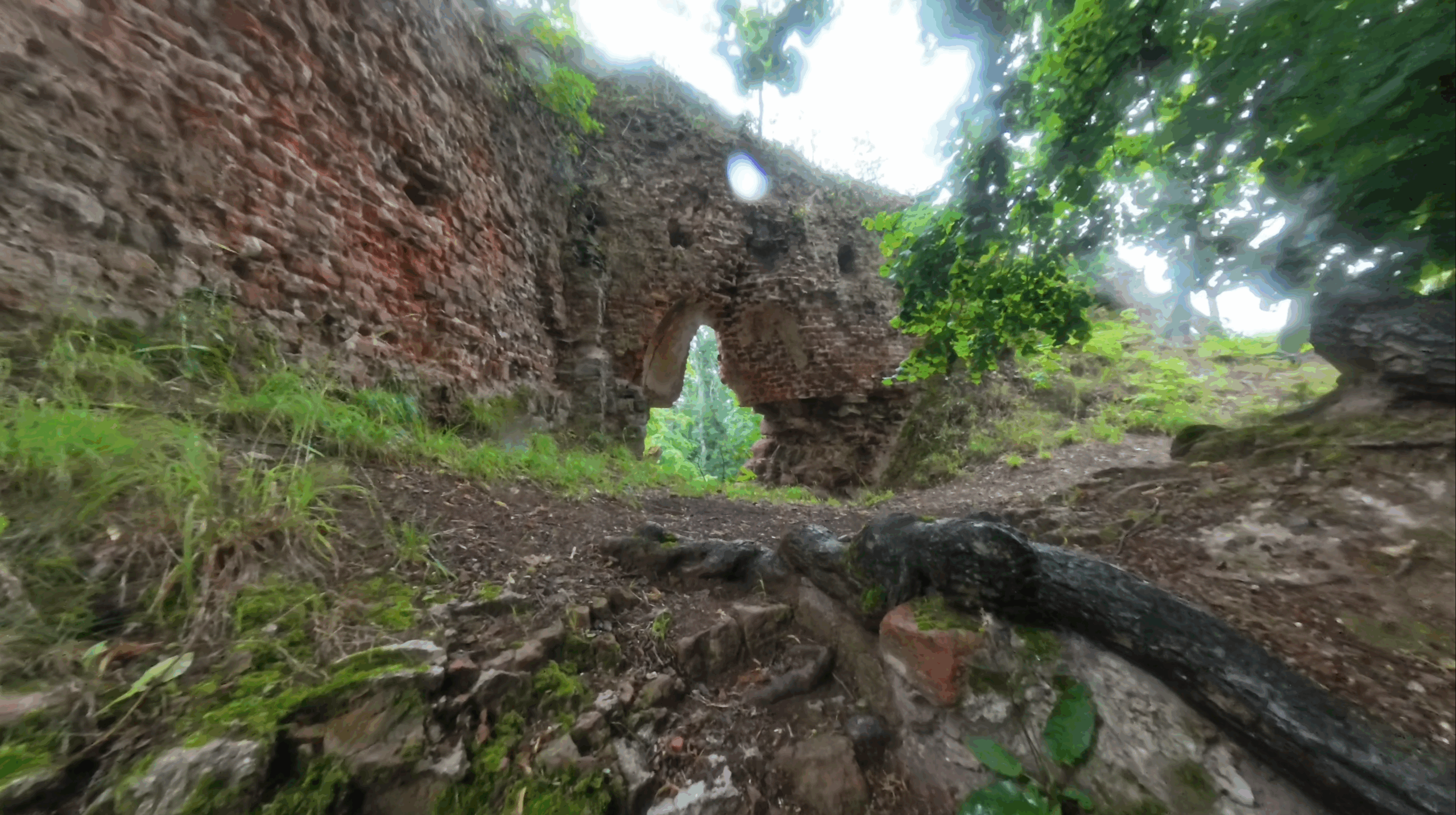
Now we took the shortest route back to stamp point no. 52 Trageburg. Unfortunately, only the remains of the castle built in the 13th century can still be seen. Adventurous hikers who take the somewhat overgrown paths will be rewarded with a breathtaking view over the water.
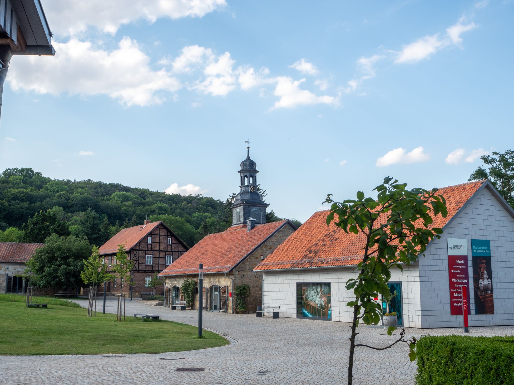
Finally, we hike through the cute little village of Trautenstein and follow the B242 for a short distance. Soon afterwards, we immerse ourselves in nature again and follow a wide forest and meadow path, which leads us past stamp point no. 49 Grüntal back to the hiking parking lot.
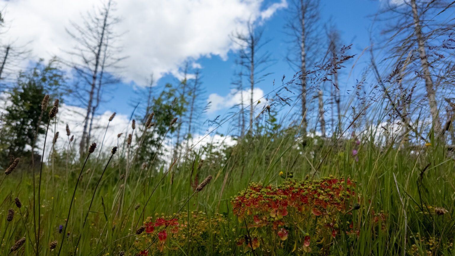
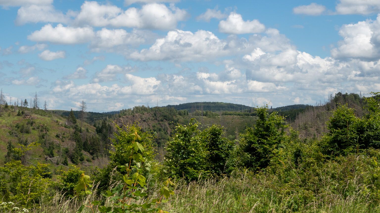
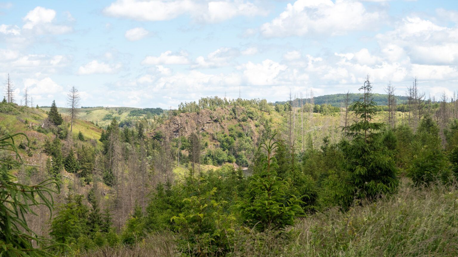
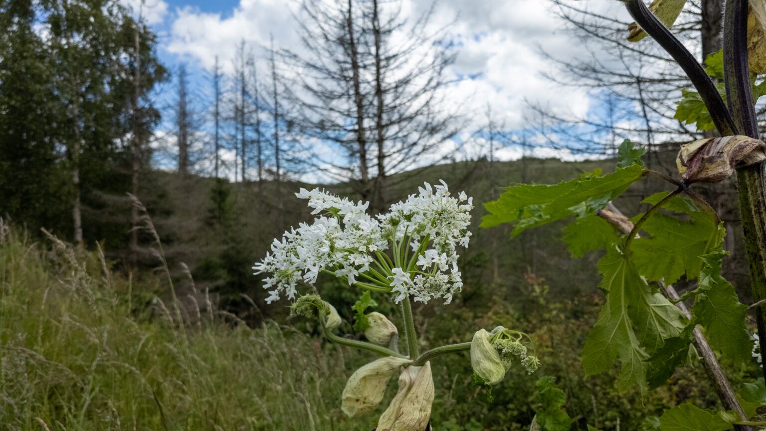
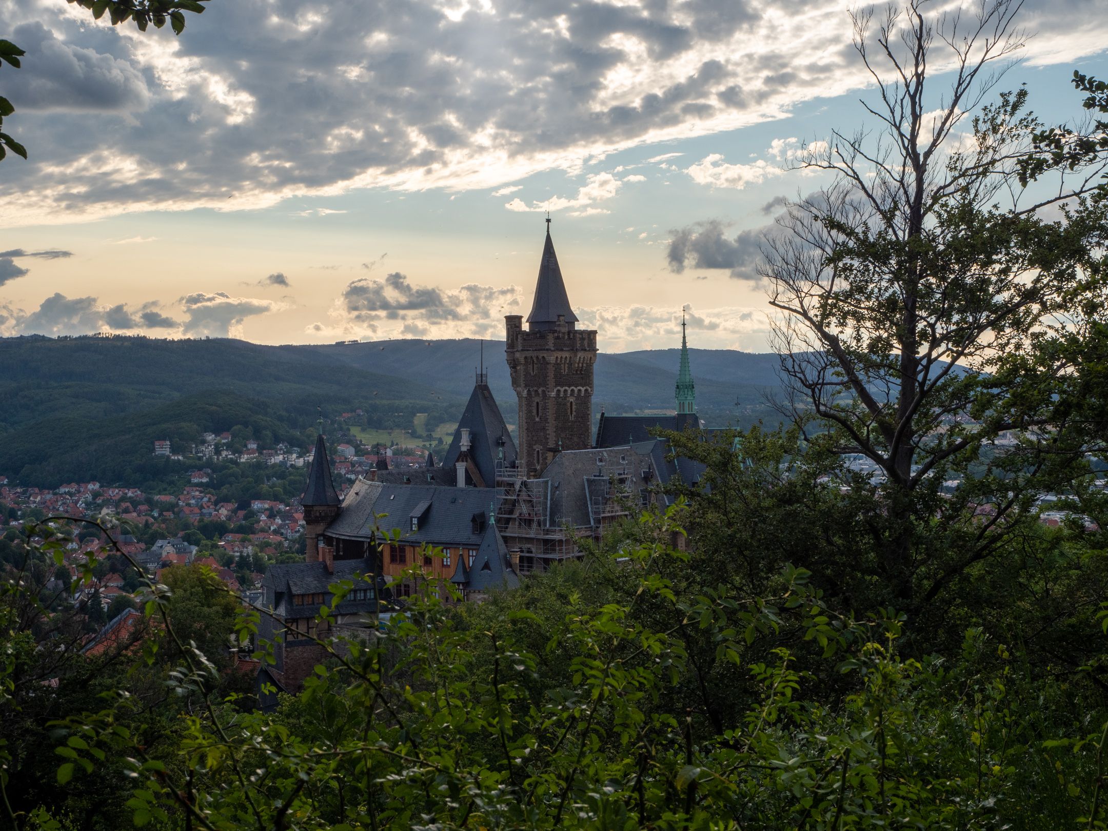
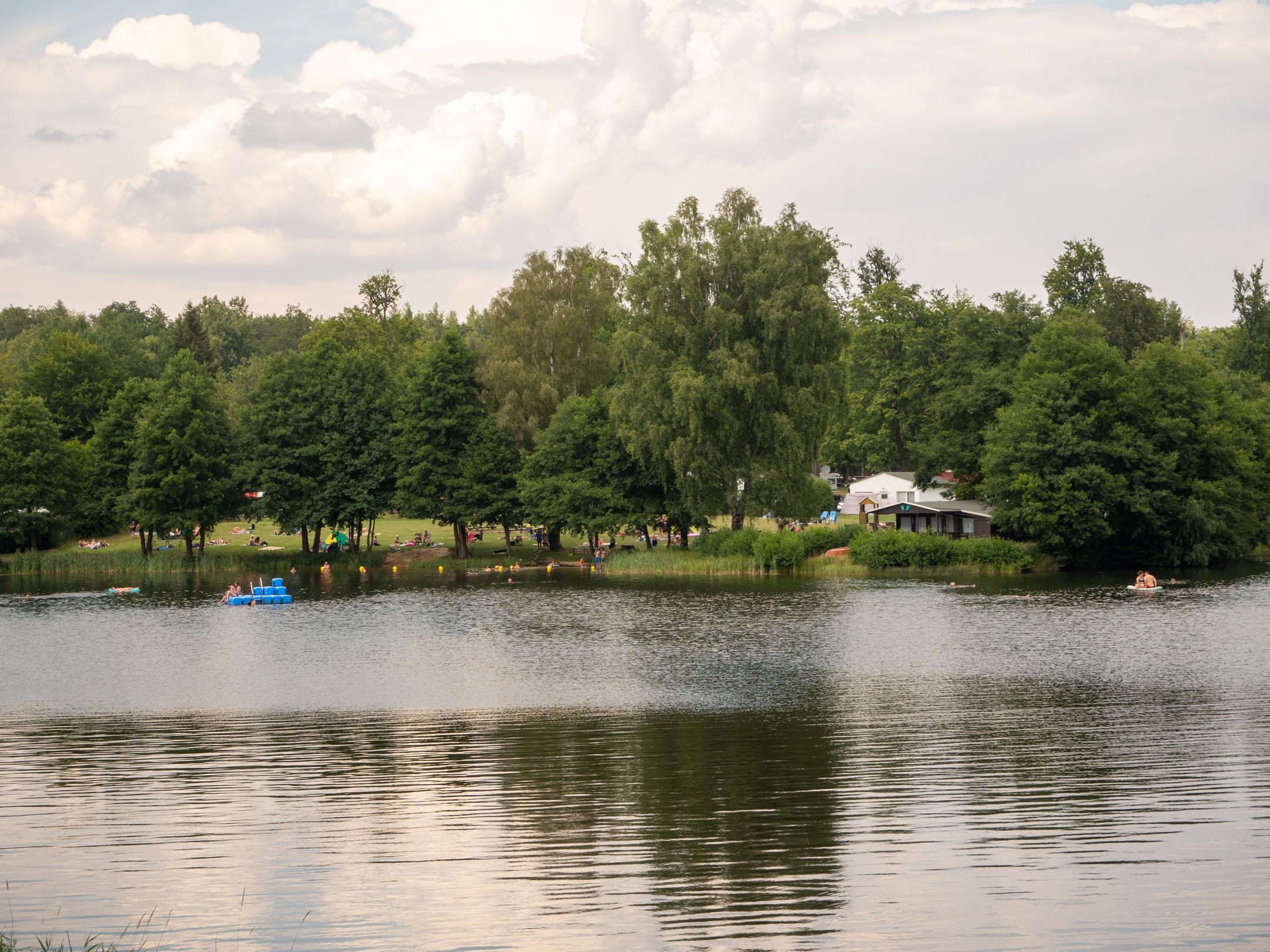
Pictures of the hike
Weitere Wanderungen