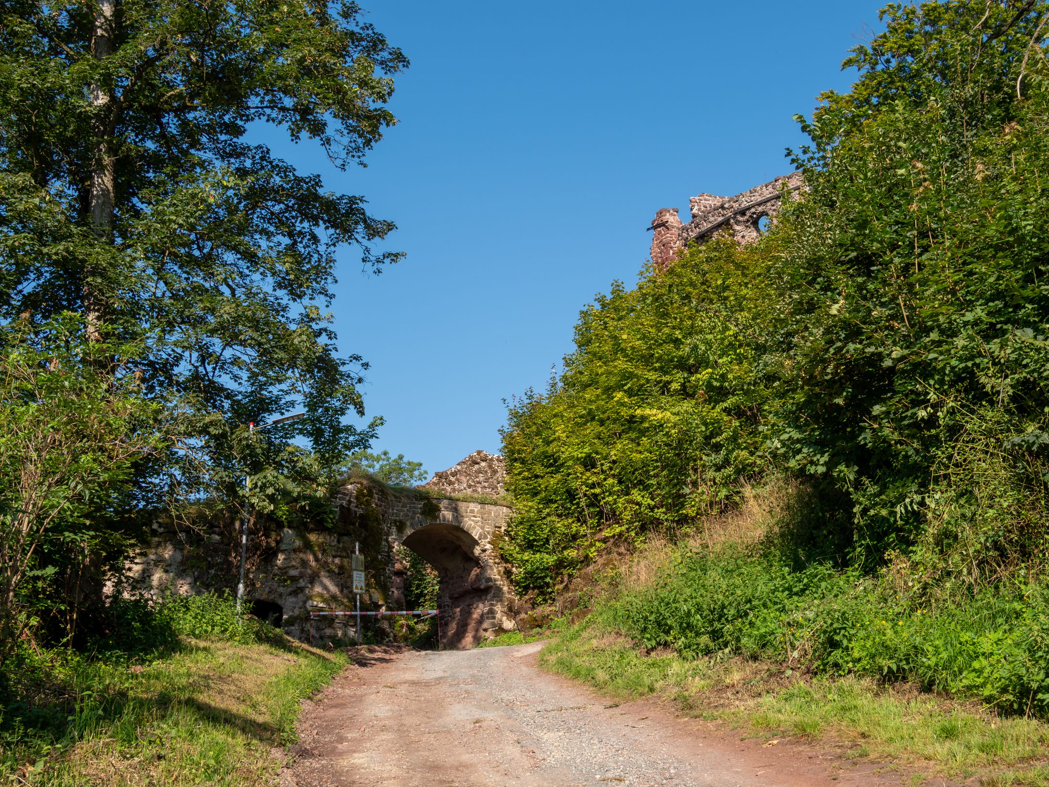
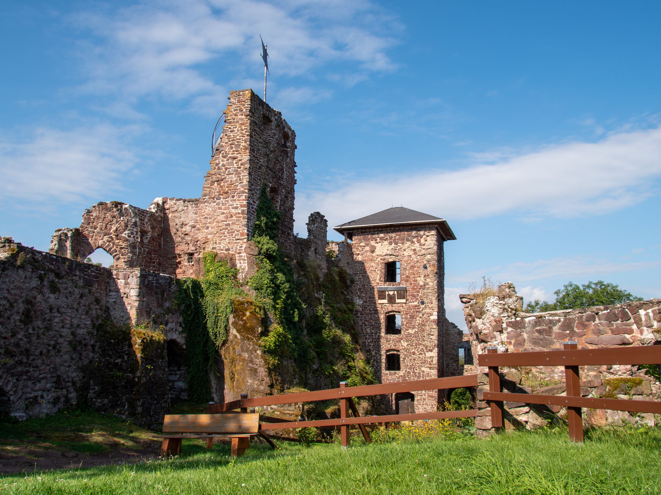
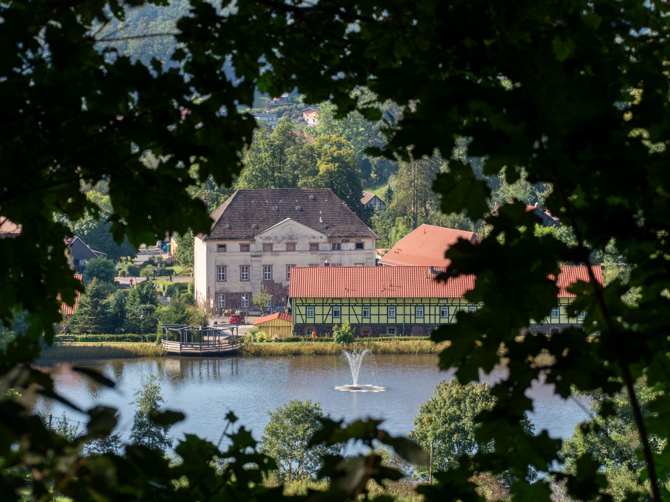
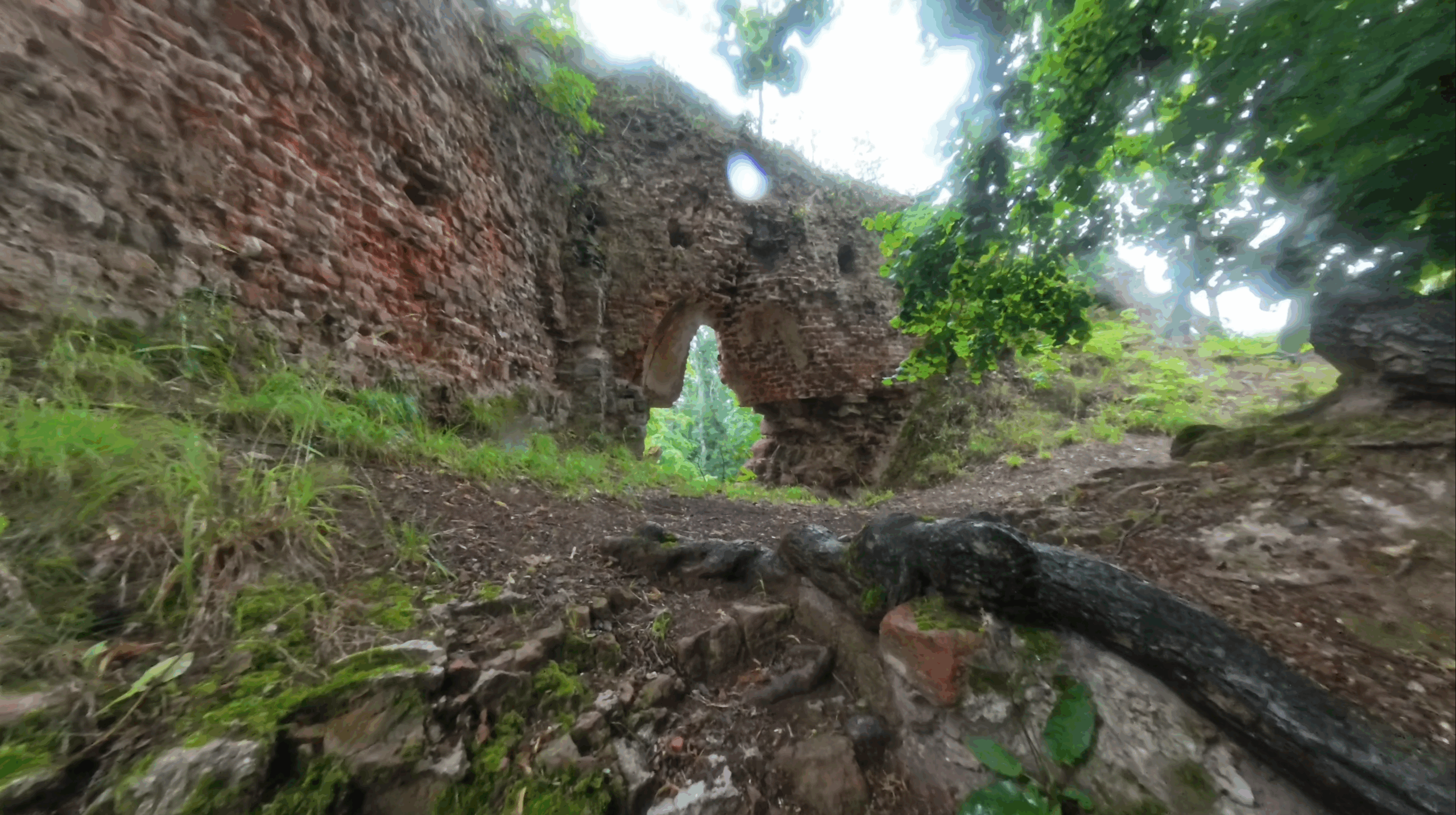
The hike begins at the parking lot of the “Hohenstein Ruins” in Neustadt im Harz. The impressive castle ruins are visible directly from the parking lot, but you have to walk a few meters uphill to visit them. The ruins probably date back to the 12th century and were originally built as the ancestral seat of the Counts of Ilfeld. They went by the name of “Honstein” and shaped the fortunes of the castle for several centuries. In the 13th century, the castle experienced its heyday and grew into an important fortress in the southern Harz under the Honstein family.
In the 14th century, however, the family lost influence, the castle was conquered several times and in the 15th century it finally became the property of the Counts of Stolberg, who transformed it into a Renaissance castle. The castle changed hands several times over the centuries until it was destroyed in 1627 during the Thirty Years’ War. Today, the ruins are open again and have been run as an inn since 2001. I particularly like the fact that admission to the ruins is free, which makes this historical site even more accessible.
Overview map and GPS information of the circular hike in the Harz Mountains
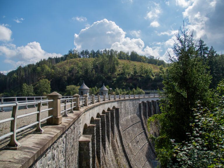
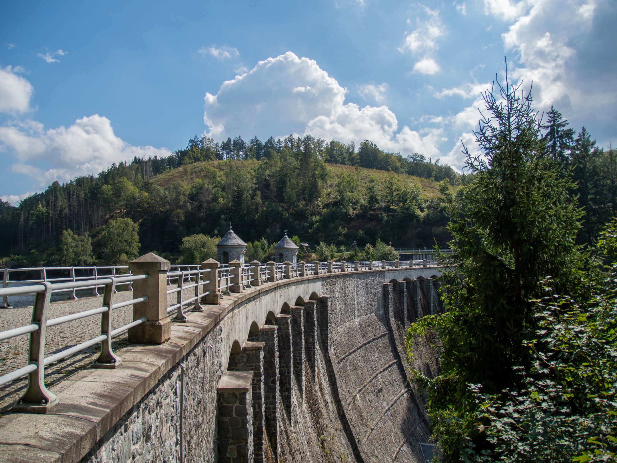
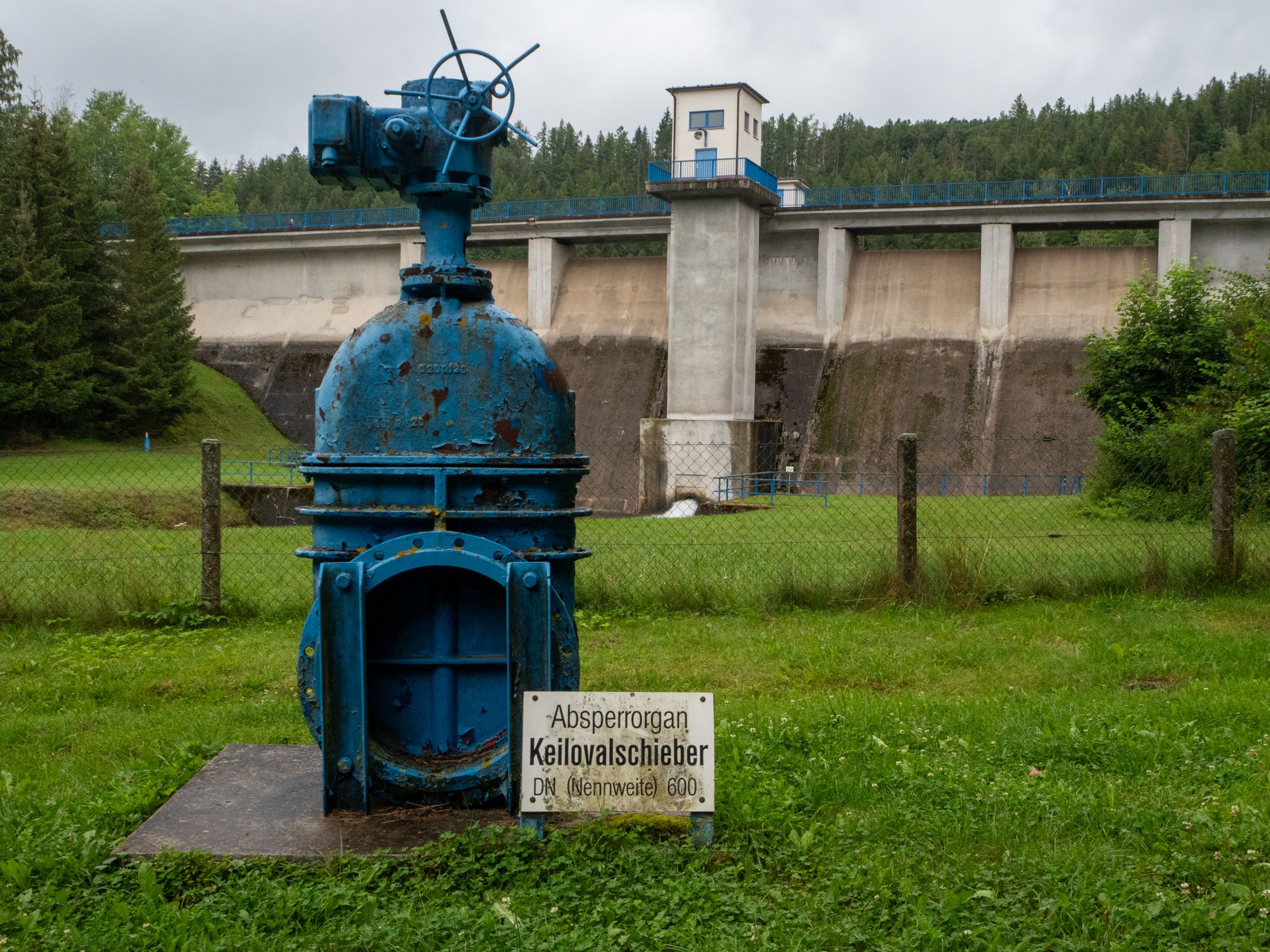
An impressive dam wall at the Neustädter reservoir
After visiting the ruins, the hiking trail leads us along easy forest trails to the Neustädter Talsperre dam. The history of this dam dates back to the 19th century, when the drinking water supply to the town of Nordhausen repeatedly led to bottlenecks. The construction of a dam in an unpopulated area became necessary to solve these problems.
Work began in March 1904, mainly by Italian specialists who transported the building materials from Neustadt on a light railroad. Despite initial difficulties with labor and material shortages, the dam was completed in October 1905. In 1922 and 1923, the dam wall was extended, and between 1997 and 2001 it was extensively renovated.
Stamp point no. 218 is located directly on the imposing dam wall of the Neustadt dam, which is not allowed to be entered. However, this does not prevent us from continuing – we simply follow the western side of the fenced-in dam and continue on our way.
View of the dam wall
The Dreiherrenstein and the Poppenberg
After the dam, the hiking trail continues to the Dreiherrenstein (No. 94), a historic heraldic boundary stone dating back to 1735. These stones marked the territories of the Elector of Brunswick-Lüneburg, the Elector of Saxony and the Duke of Brunswick-Wolfenbüttel. However, why they are in this exact location remains an unsolved mystery, as the actual border triangle is only around 500 meters away.
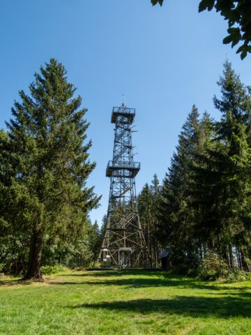
The observation tower on the Poppenberg
From there, the route continues to the Poppenberg. The ascent is challenging, but the stamp point and the viewing tower at the summit are well worth the effort. After climbing the 177 steps to the viewing platform, you are rewarded with a fantastic panoramic view of the Kyffhäuser, Ravensberg, Wurmberg and Brocken mountains. The tower had been closed since the 1980s due to corrosion damage, but was renovated in 1992 thanks to a fundraising campaign by the Harzklub.
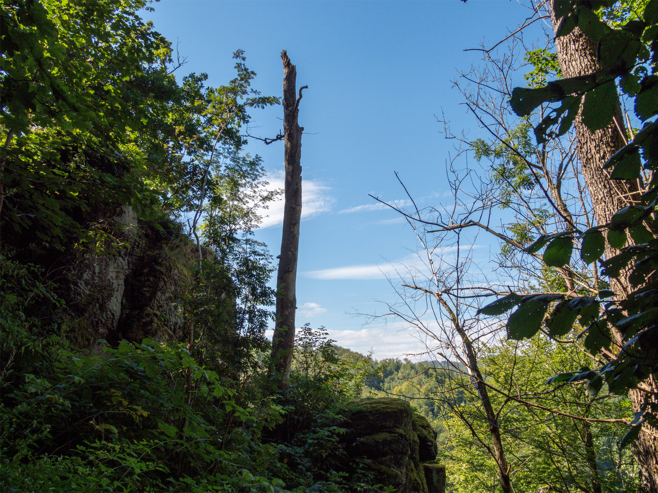
Adventurous path to the Dreitälerblick
From Poppenberg, the hiking trail continues to the Dreitälerblick, a viewpoint that rightly bears its name. From here, you can see the Brandesbach valley, the Ilfeld valley and the Kalte valley – a truly impressive panorama. The route there remains adventurous for the most part, and the last part of the ascent to the Ilfeld weather vane proves to be steep and strenuous, especially in the summer heat. But once you reach the top, the view is worth the effort.
The Ilfeld weather vane
The Ilfeld weather vane was originally erected in 1870/71 as a wooden monument and had to be replaced several times over the years. The current weather vane was erected in 1974 and restored in the 1990s. An arrow on the back of the weather vane indicates the wind direction, which is of interest to both hikers and people in the valley.
Way back with a view
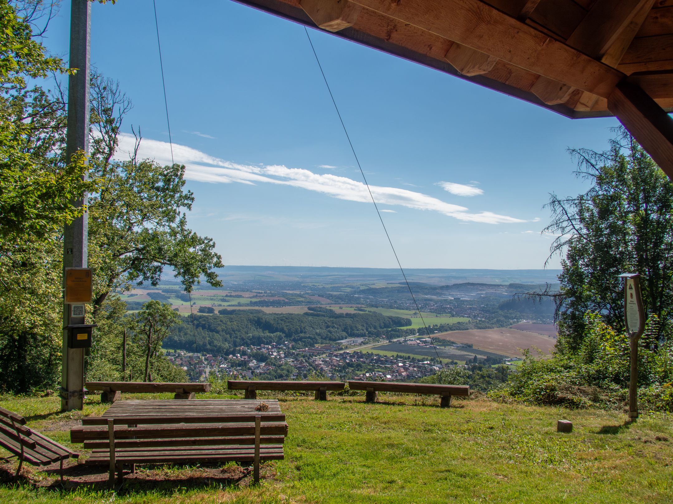
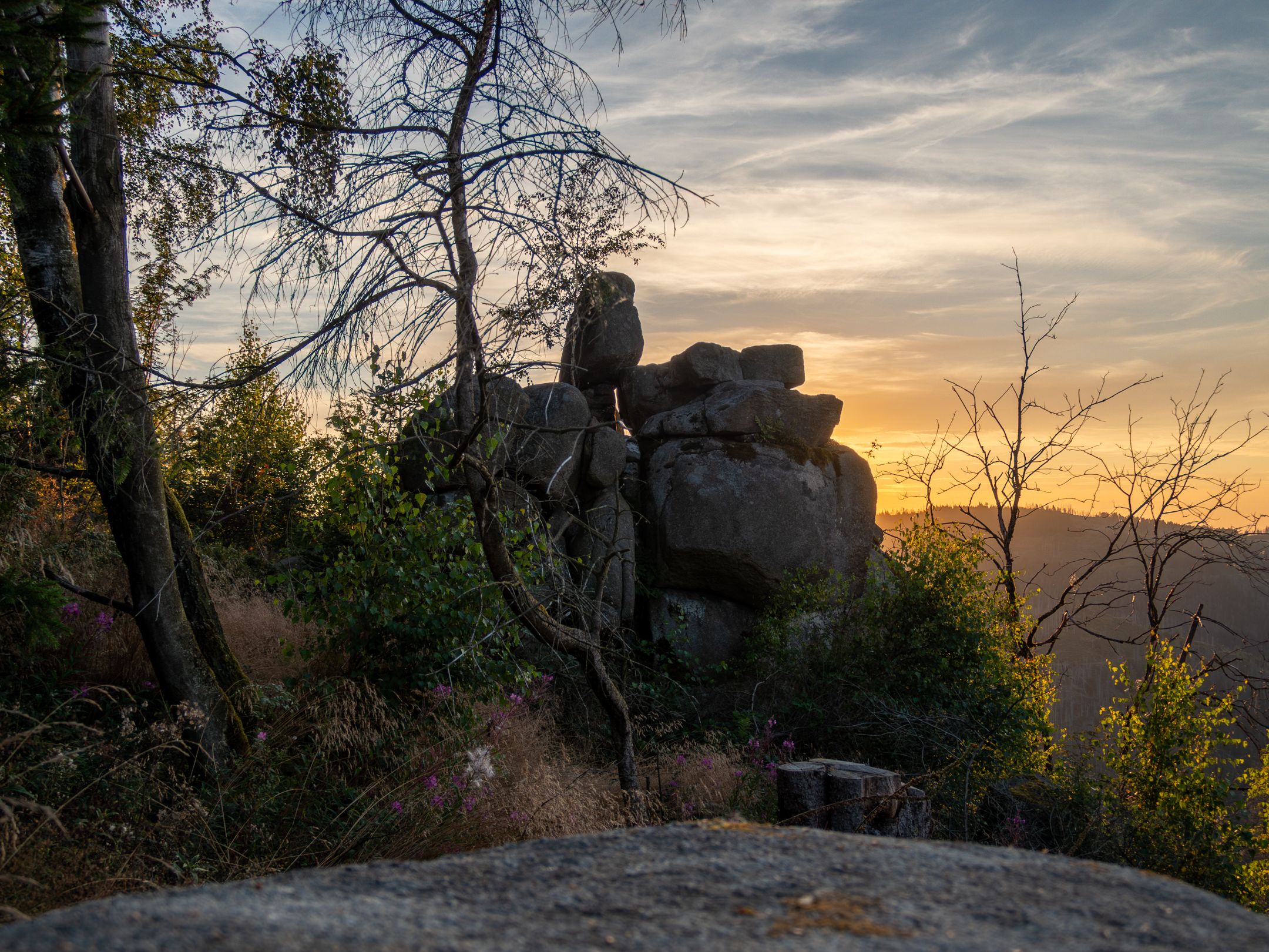
The way back takes us back to the Hohenstein ruins parking lot. On the way back, we pass a wonderful viewpoint – a place which, in my opinion, also deserves a stamp, as the view here is simply too beautiful.
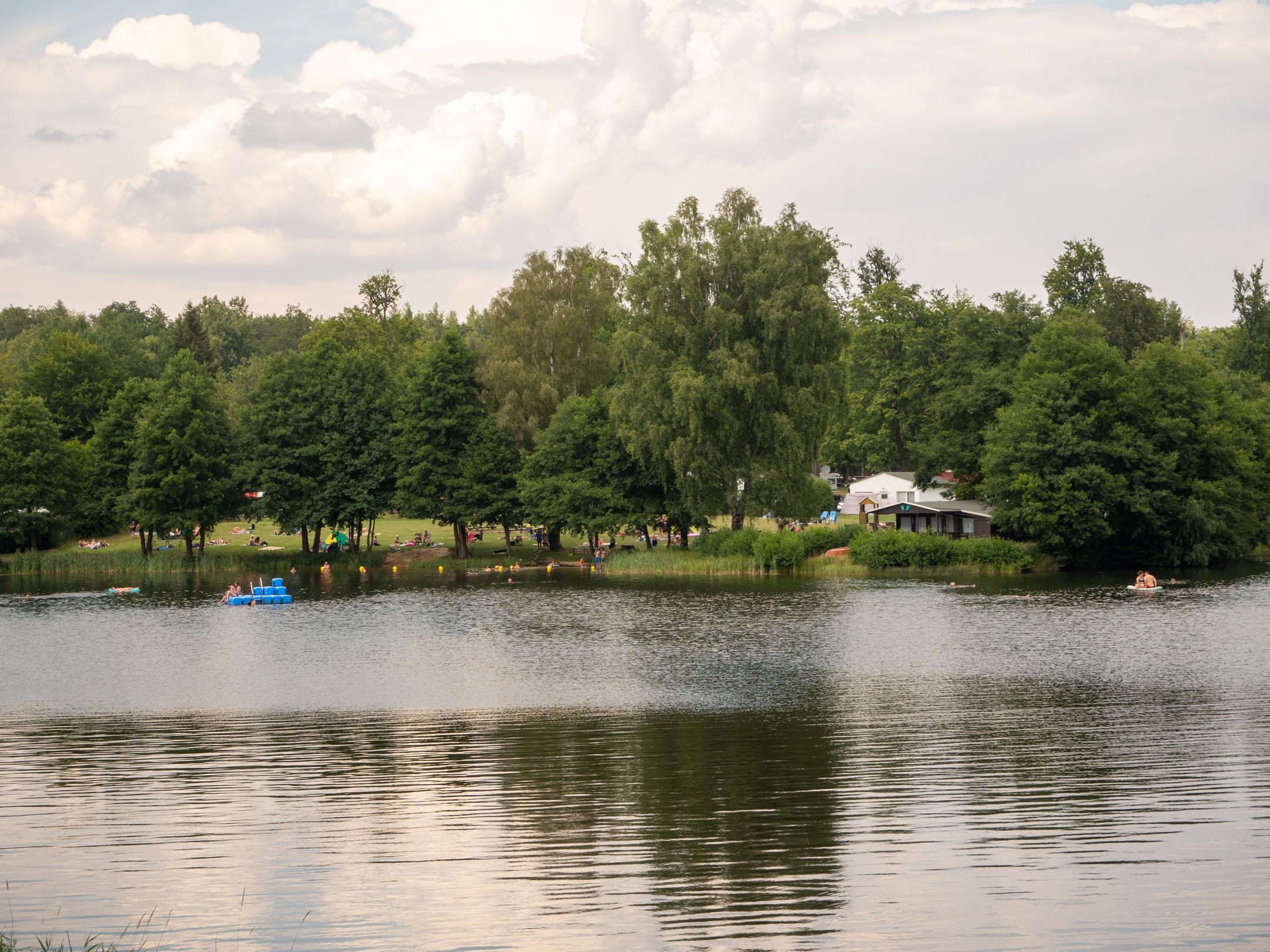
Pictures from the circular hike in the Harz Mountains
Um dir ein optimales Erlebnis zu bieten, verwenden wir Technologien wie Cookies, um Geräteinformationen zu speichern und/oder darauf zuzugreifen. Wenn du diesen Technologien zustimmst, können wir Daten wie das Surfverhalten oder eindeutige IDs auf dieser Website verarbeiten. Wenn du deine Zustimmung nicht erteilst oder zurückziehst, können bestimmte Merkmale und Funktionen beeinträchtigt werden.
Funktional
Always active
Die technische Speicherung oder der Zugang ist unbedingt erforderlich für den rechtmäßigen Zweck, die Nutzung eines bestimmten Dienstes zu ermöglichen, der vom Teilnehmer oder Nutzer ausdrücklich gewünscht wird, oder für den alleinigen Zweck, die Übertragung einer Nachricht über ein elektronisches Kommunikationsnetz durchzuführen.
Vorlieben
Die technische Speicherung oder der Zugriff ist für den rechtmäßigen Zweck der Speicherung von Präferenzen erforderlich, die nicht vom Abonnenten oder Benutzer angefordert wurden.
Statistiken
Die technische Speicherung oder der Zugriff, der ausschließlich zu statistischen Zwecken erfolgt.Die technische Speicherung oder der Zugriff, der ausschließlich zu anonymen statistischen Zwecken verwendet wird. Ohne eine Vorladung, die freiwillige Zustimmung deines Internetdienstanbieters oder zusätzliche Aufzeichnungen von Dritten können die zu diesem Zweck gespeicherten oder abgerufenen Informationen allein in der Regel nicht dazu verwendet werden, dich zu identifizieren.
Marketing
Die technische Speicherung oder der Zugriff ist erforderlich, um Nutzerprofile zu erstellen, um Werbung zu versenden oder um den Nutzer auf einer Website oder über mehrere Websites hinweg zu ähnlichen Marketingzwecken zu verfolgen.