The Wicklow Way is Ireland’s oldest marked long-distance hiking trail and stretches approximately 130 kilometers from Clonegal in County Carlow to Marlay Park on the southern outskirts of Dublin. Along the way, it climbs over 3,000 meters in elevation, passes through forests, bogs, and the famous Glendalough Valley—and, with a little luck, treats you to exactly what no one on the Emerald Isle really expects: six straight days of sunshine.
General Information about the GR132
The Wicklow Way opened in 1980, making it Ireland’s first officially signposted long-distance hiking trail. It is part of the European long-distance hiking trail E8 and is known in Irish as Slí Cualann Nua. It is marked with the nationwide standard symbol: a yellow hiker figure with a directional arrow on wooden posts.
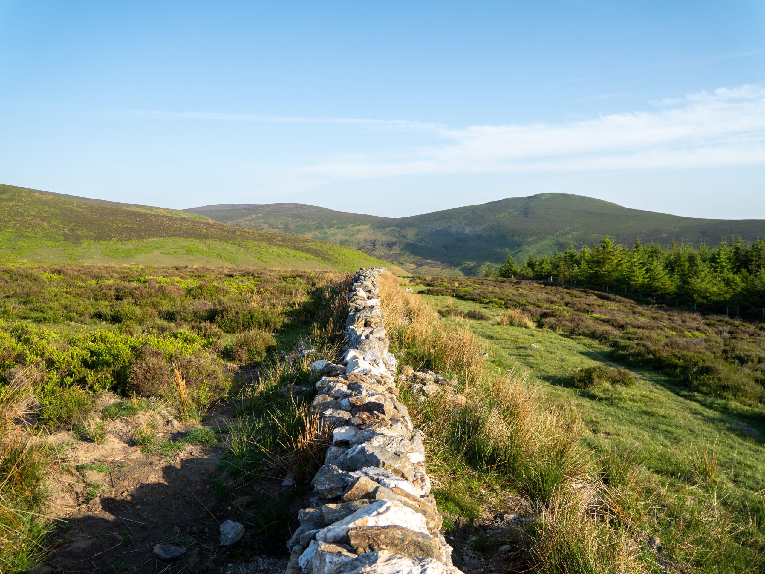
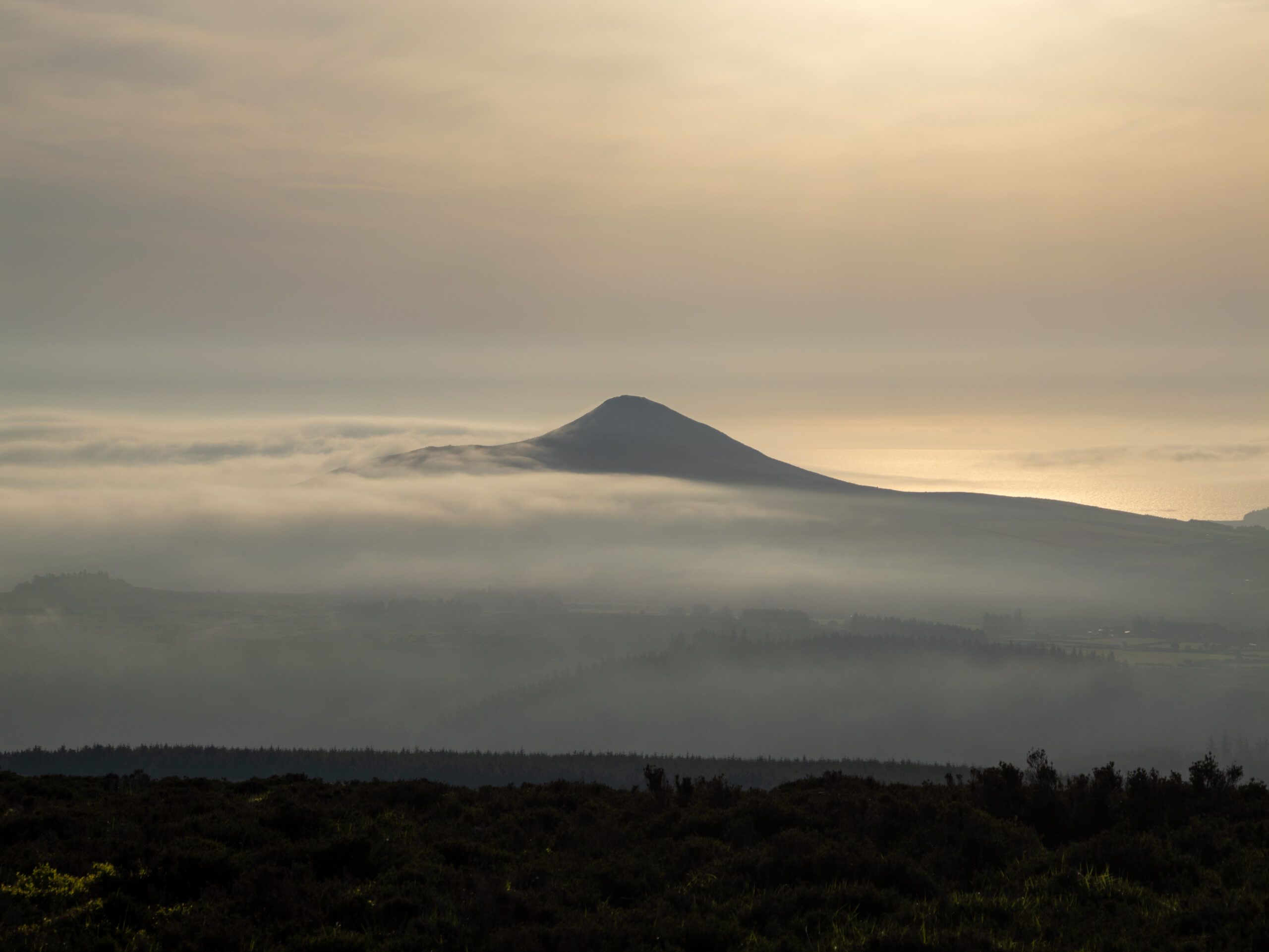
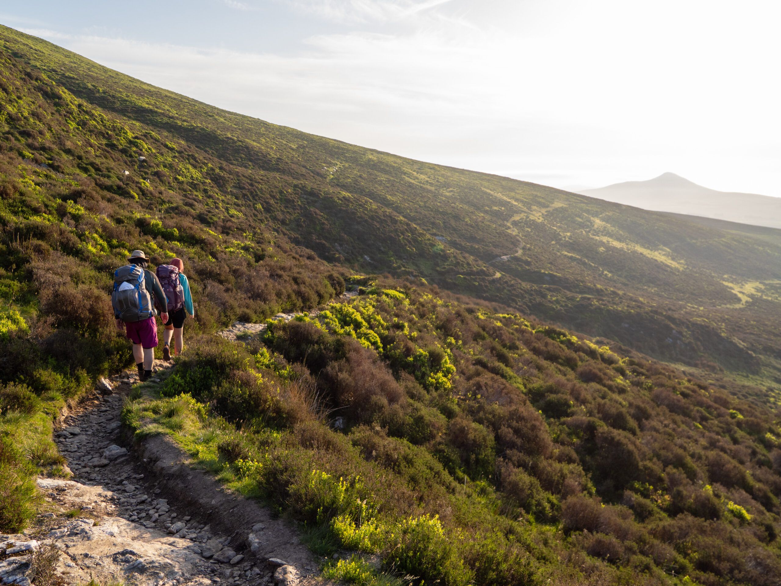
The trail begins and ends in the middle of a Dublin city park and, from there, winds its way into the Wicklow Mountains within a few kilometers. Toward the south, the mountains gradually give way to rolling hills, hedgerows, and small farm roads. It is precisely this mix that makes the trail so appealing: one day you’re hiking across vast moorland plateaus with views all the way to the Irish Sea, and the next you’re walking through farmland where you’re more likely to encounter sheep than fellow hikers.
Technically, the trail is straightforward—there are no alpine sections. What makes it challenging is the constant up-and-down terrain, the sometimes very long stages with no places to stop for refreshments, and the weather on the open, wind-swept ridges.
Details on the GR131 on La Gomera
- Length: approx. 125
- Elevation gain: approx. 3,300 m
- Highest point: White Hill, 630 m
Transportation on the Wicklow Way
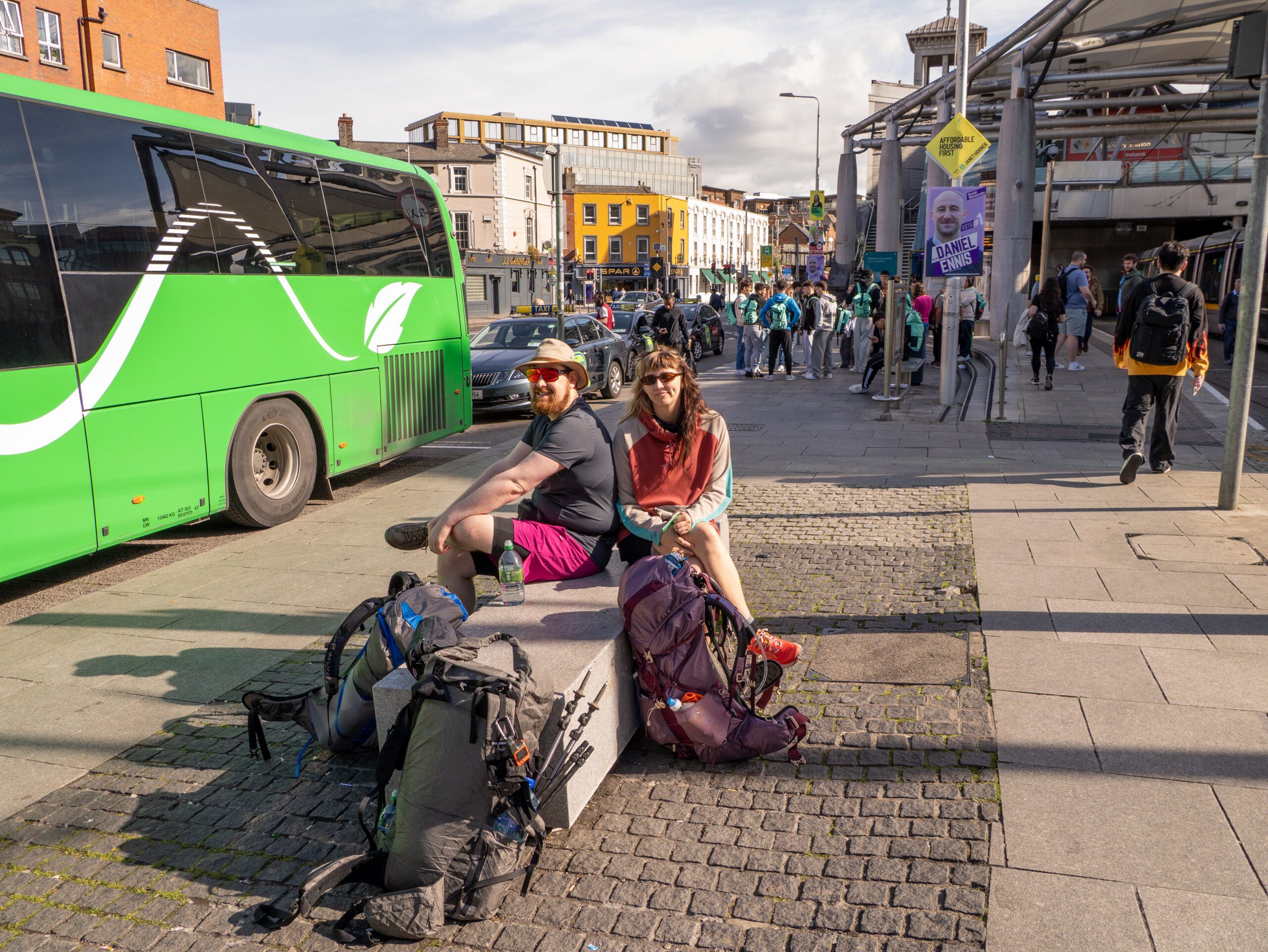
You can almost reach Clonegal by public transportation. The Expressway buses operated by Bus Éireann depart from the central Busáras bus station in Dublin toward Waterford and stop in Kildavin—from there, it’s still about three kilometers to the actual starting point in Clonegal. If you want to do some shopping, you can alternatively continue on to the larger town of Bunclody, but that means you’ll have a few more kilometers to walk.
We simply set off on foot from the bus stop. While this involves an extra stretch of road walking, it makes sense because you need to get into the rhythm of walking anyway.
For those who prefer a more comfortable option: There are private shuttle services that run between Dublin (including the airport), accommodations along the route, and Clonegal. However, you’ll need to book these in advance—they’re not scheduled services.
At the northern end, things are much simpler: Marlay Park is located within the Dublin city limits, and several city buses run directly from there to the city center.
Staying Overnight on the Wicklow Way
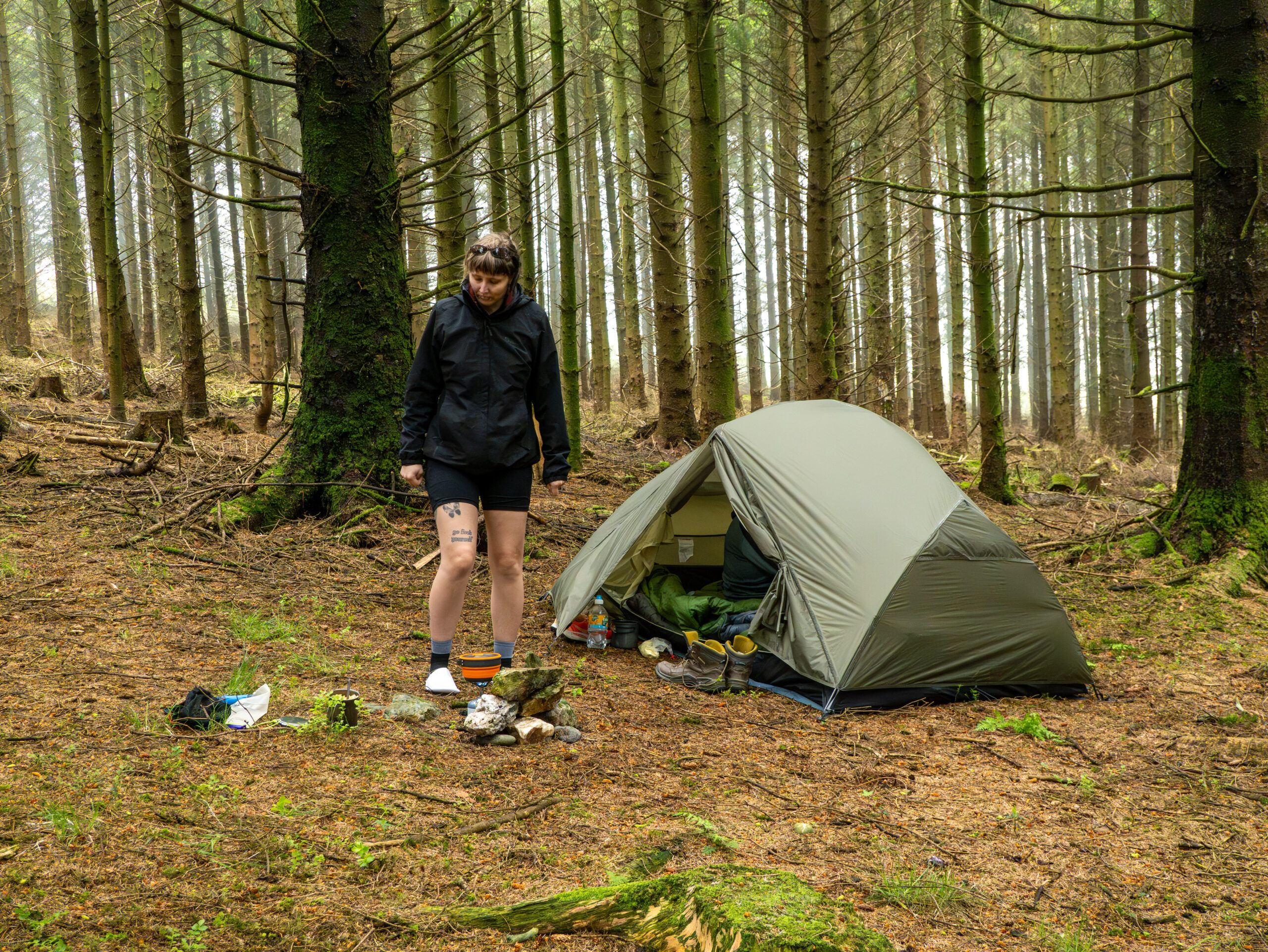
Wild camping is not officially permitted in Ireland unless you have permission from the landowner. In practice, however, a single night in the mountains is usually tolerated as long as you follow the “Leave No Trace” rules: set up camp late, break camp early, no open fires, and leave no traces behind. As far as I know, it’s permitted within the Wicklow Mountains National Park, with the exception of the Glendalough Valley. Camping is definitely prohibited there, and rangers do enforce this rule.
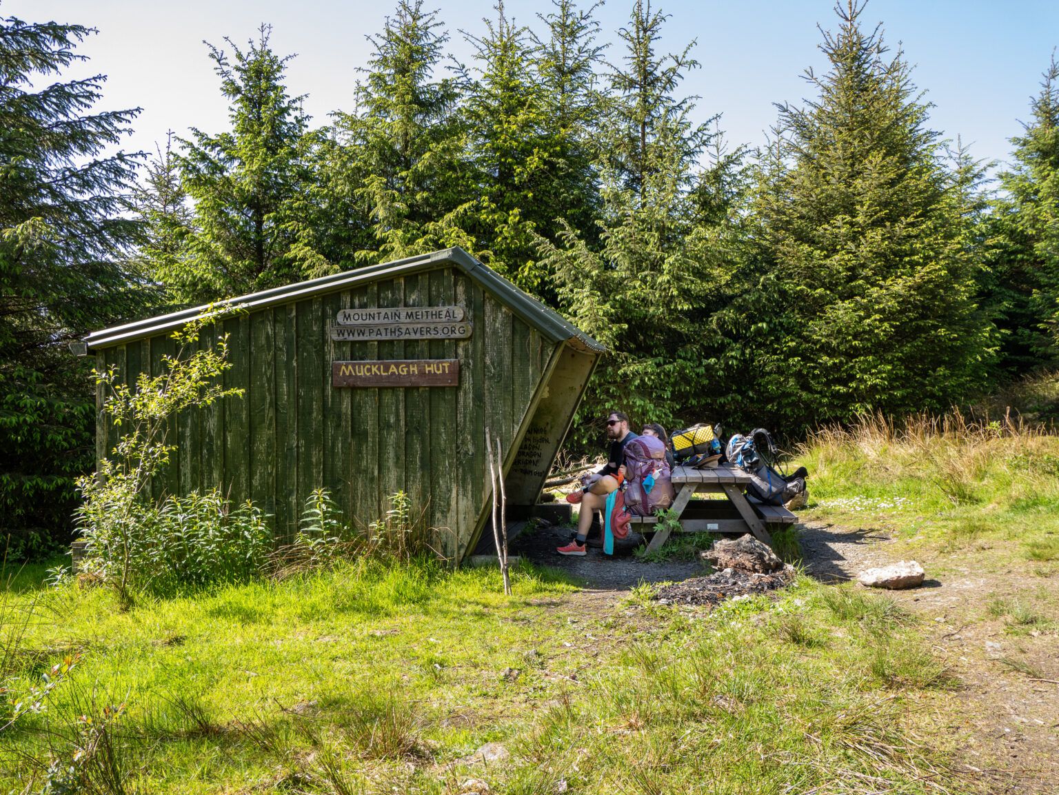
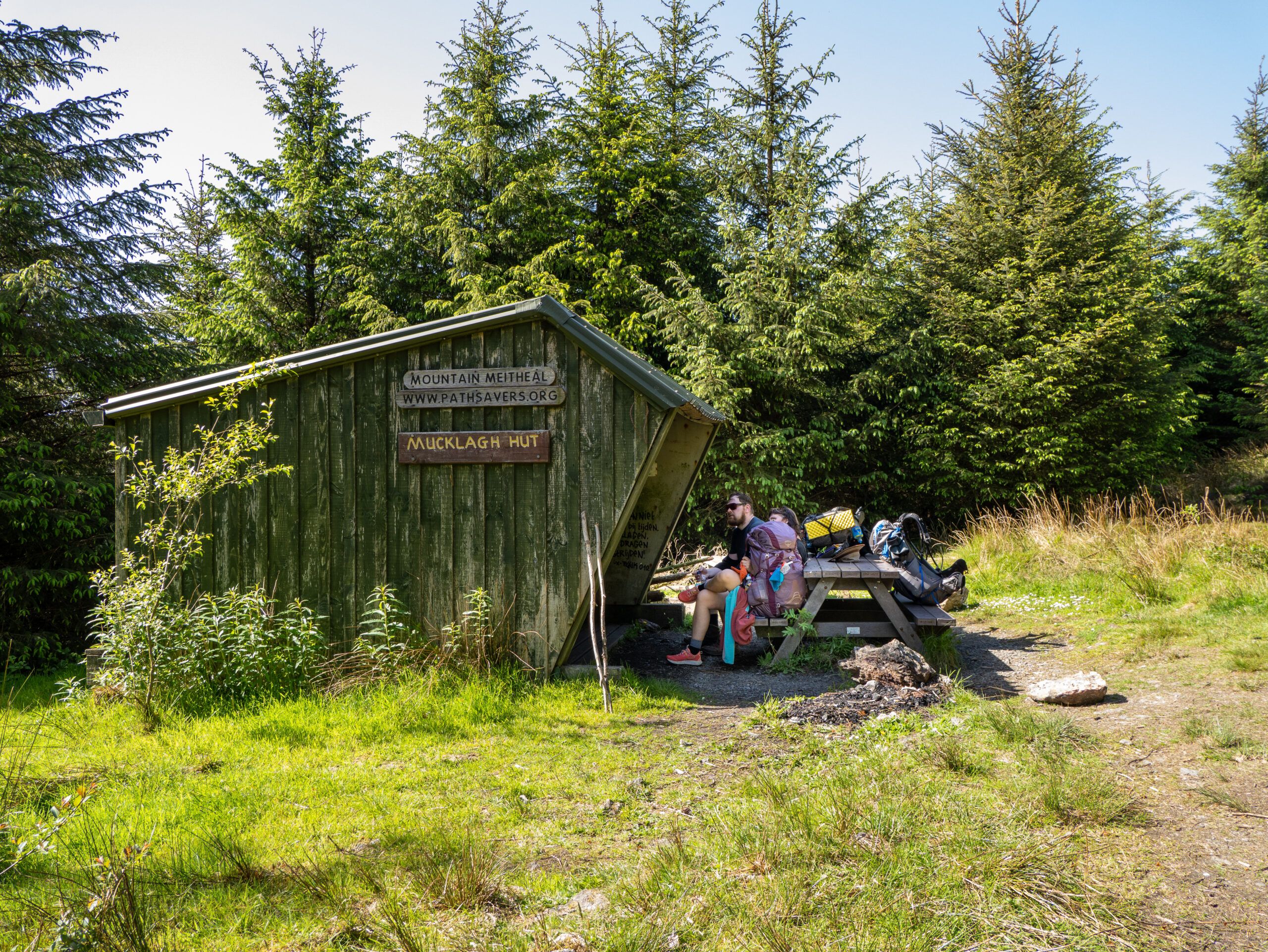
The most laid-back option is the three open shelters along the trail: the Mucklagh Hut, the Brusher Gap Hut, and the Mullacor Hut. These are Adirondack shelters—wooden huts open at the front—built by the volunteer group Mountain Meitheal with permission from the state forestry agency Coillte. You’re officially allowed to spend the night here and pitch a tent—but reservations aren’t possible; it’s first-come, first-served.
In addition, there are campgrounds, hostels, and B&Bs along the route. In Glendalough, the International Youth Hostel is located right on the trail, and in the larger towns, you can find rooms through the usual booking platforms. You should book in advance during Pentecost and the peak season.
Water and Food Supplies on the Wicklow Way
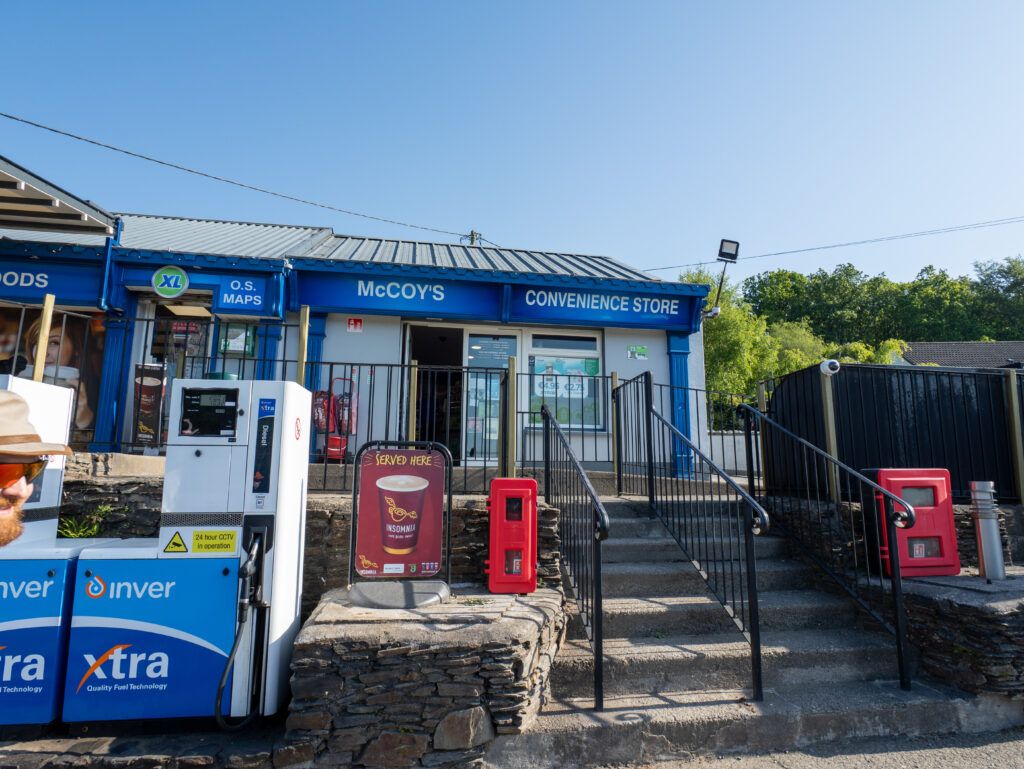
You can shop in Clonegal or Bunclody, as well as in Shillelagh, Tinahely, Roundwood, Glendalough, and Enniskerry—all of which are off the route. We packed enough food to last us the entire trip.
Getting water wasn’t a problem with a filter. If necessary, just ask: the locals along the trail are extremely helpful, which we found out more than once. At the shelters, there are water tanks, but I wouldn’t drink from them without an activated carbon filter.
The Weather in Ireland
Ireland and rain—the cliché is true, and most reports about the Wicklow Way mention mud, fog, and soggy bog sections. Especially on the open ridges, the wind can make hiking even more strenuous, and when it’s wet, the ground becomes slippery in places.
For us, it was exactly the opposite: six days of sunshine, not a single drop of rain. That sounds fantastic, but it came at a price. Heat builds up on the many paved and forest trail sections; there’s practically no shade on the ridges; and water management suddenly becomes the most important issue of the day.
When it comes to planning, this means: rain gear always belongs in your pack, but so does sun protection. And an umbrella is actually a piece of gear that serves a dual purpose on this trail.
Our Stages on the Wicklow Way
Day 1: From Kildavin via Clonegal into the Irish countryside
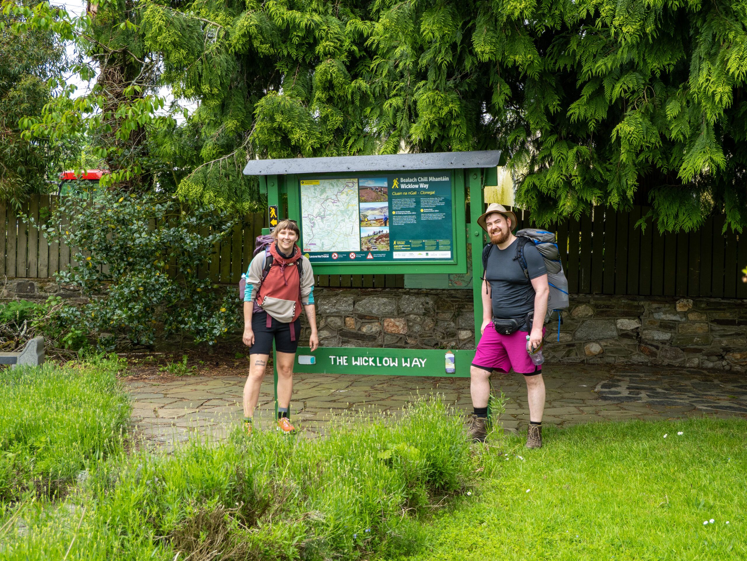
For us, the Wicklow Way didn’t start at the official starting point, but at the bus stop in Kildavin. From there, we first had to walk to Clonegal, bringing the total for the first day to just under 20 kilometers—though only about 15 of those were on the actual trail.
The start is unspectacular—and that’s precisely what makes it so pleasant: gently rolling hills, farms, hedgerows, and lots of greenery. At that point, we had absolutely no idea what was actually in store for us over the next few days. We were just happy to finally be walking.
Day 2: The Dying Cow Pub and Irish Hospitality
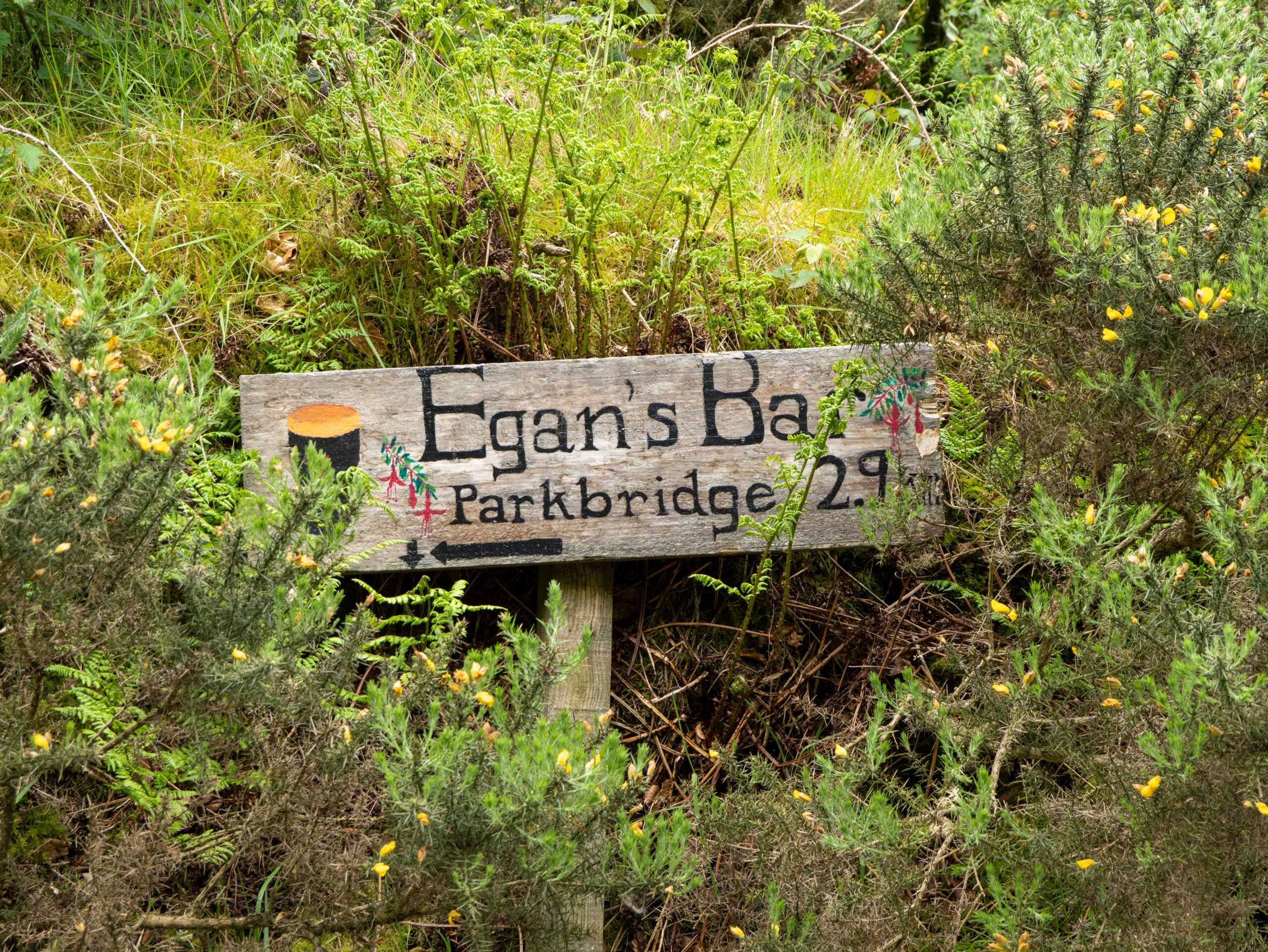
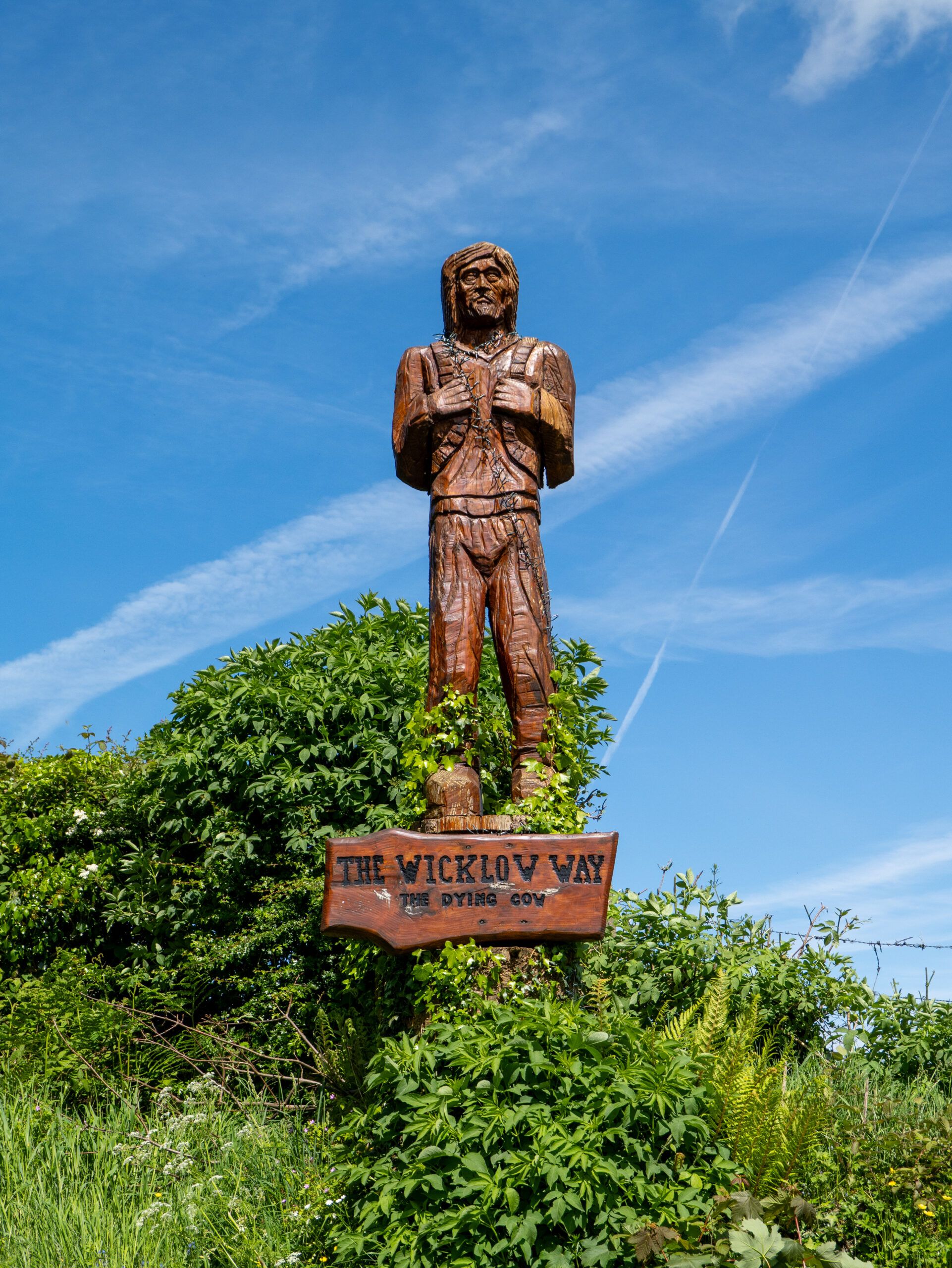
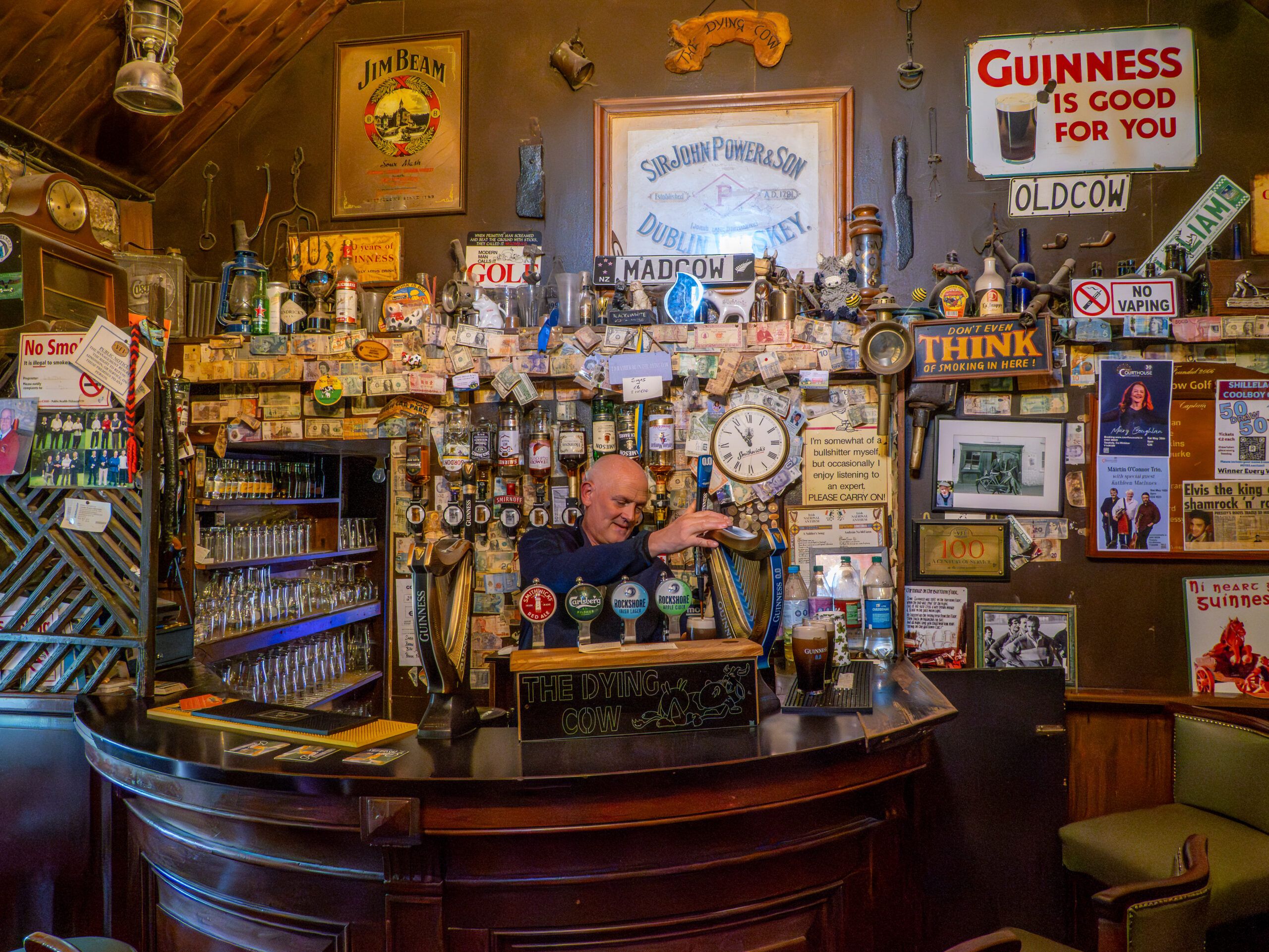
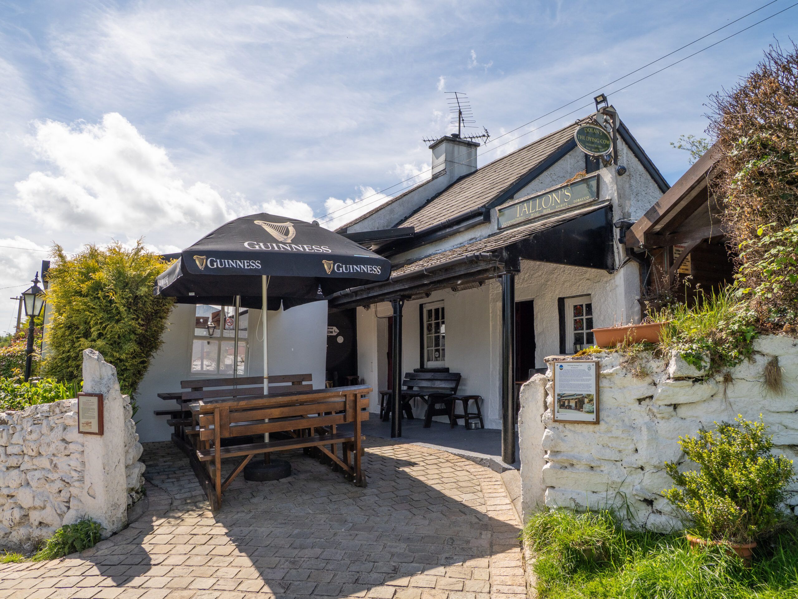
The day got off to a good start, and before long we were standing in front of the Dying Cow Pub in Stranakelly, between Shillelagh and Tinahely. The place is a real institution: a tiny room off the side of a farmhouse that’s said to have been in operation for over 300 years and where hikers, neighbors, and musicians have been gathering for generations.
After that, however, it got warmer and warmer, and over the course of the day’s roughly 24 kilometers, we worked up quite a sweat. We left our trekking poles somewhere and asked locals for water. And that’s exactly when what would become the real highlight of this hike for us began: After just two days, we were already completely blown away by the hospitality of the Irish. All it takes is a quick question—the rest just falls into place.
Day 3: When the Umbrella Becomes a Sunshade
On Day 3, the umbrella finally turned into a parasol. Over the roughly 20 kilometers, we were delighted every time the trail veered off the paved road into the shady forest—and by every bit of relief from the heat along the way.
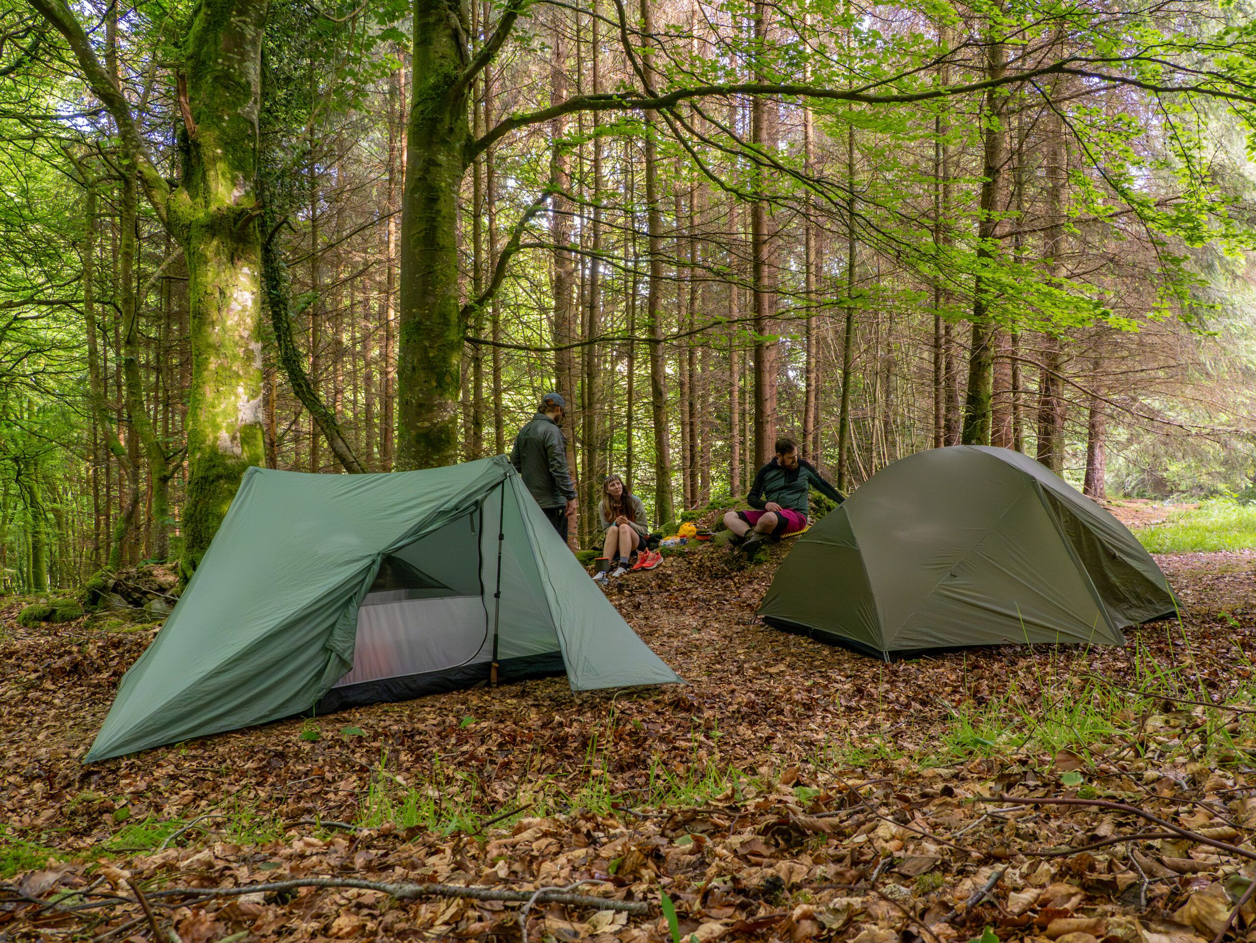
The last hill before our campsite pretty much finished us off. We were rewarded, however, with one of the open shelters along the trail, where we were allowed to spend the night completely legally for the first time. After two nights of having only a vague idea of where you’re actually allowed to camp in Ireland, that was a surprisingly good feeling.

Day 4: Wooden Planks, Melted Tar, and Glendalough
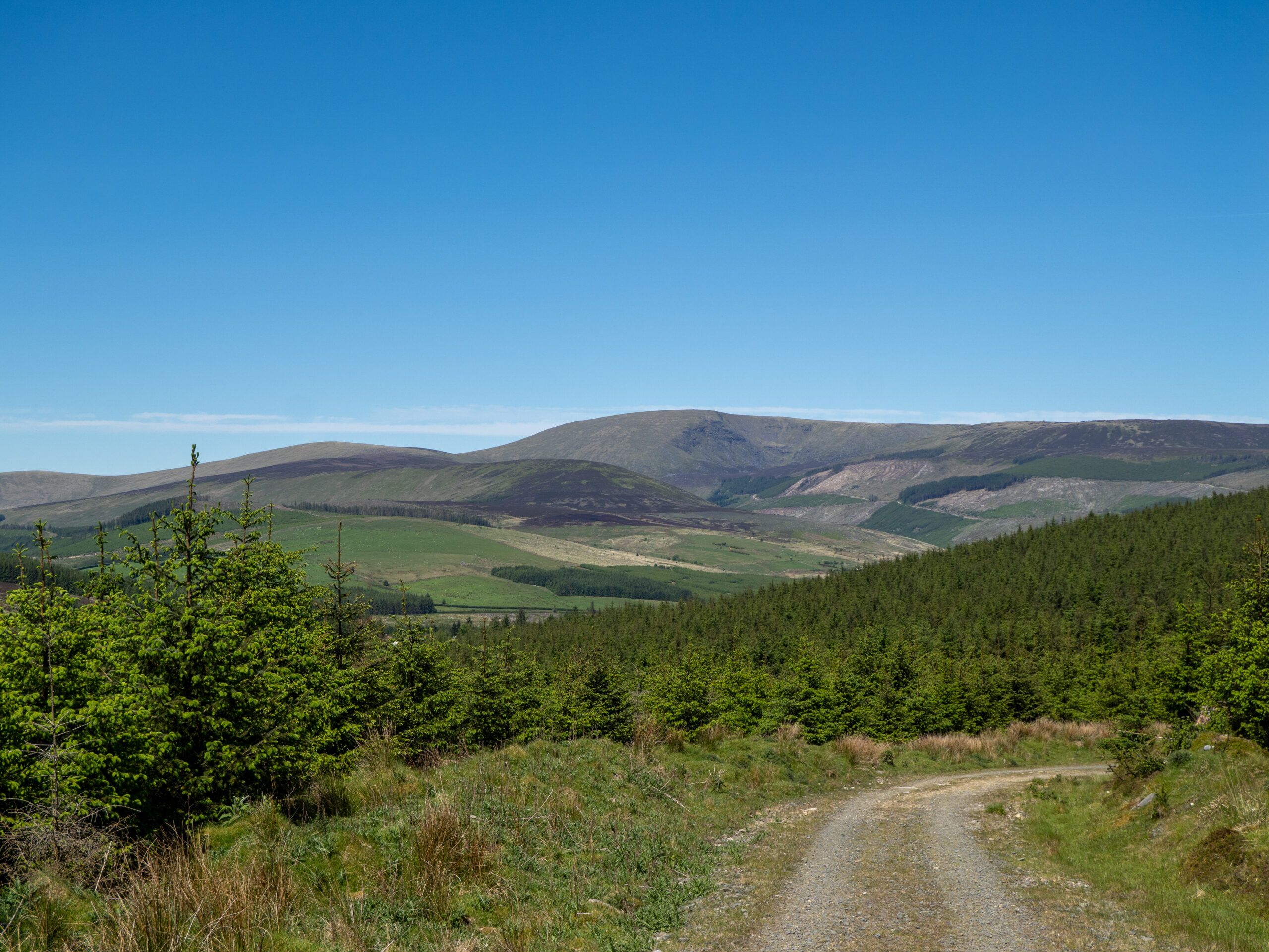
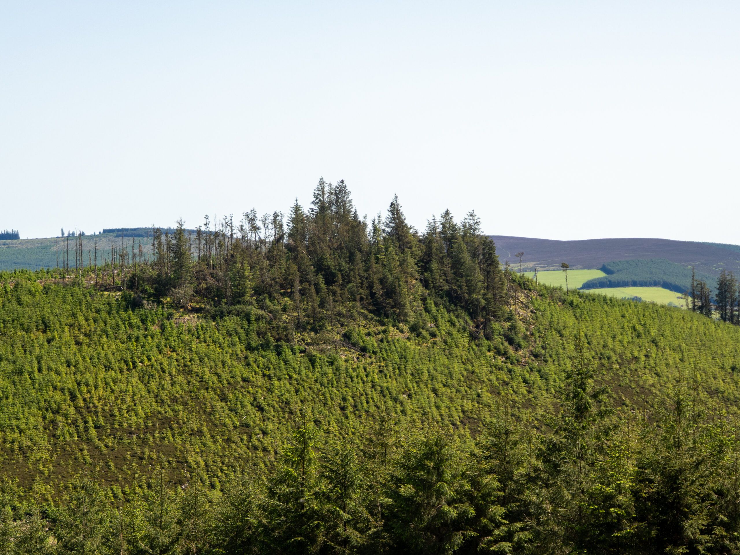
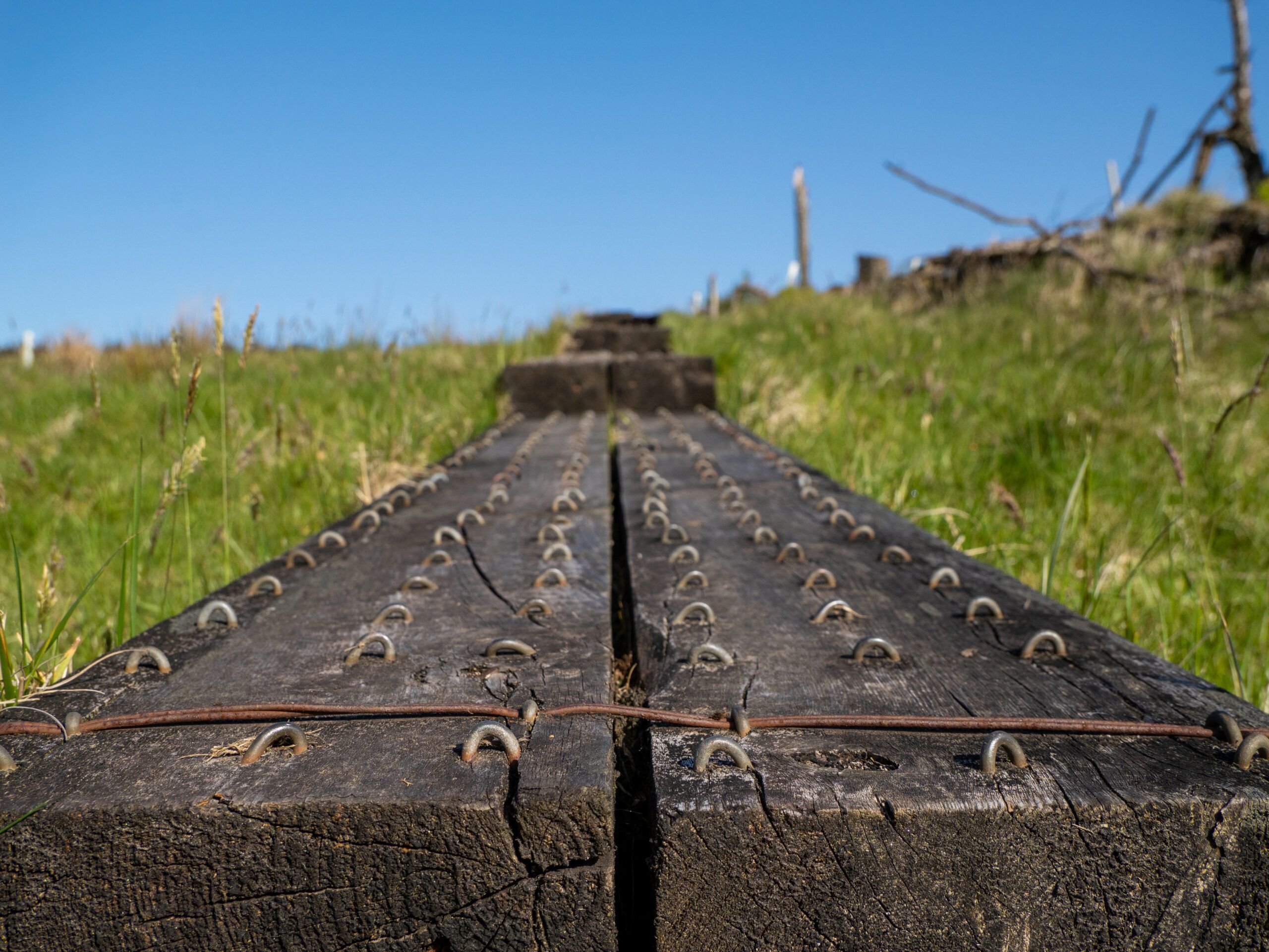
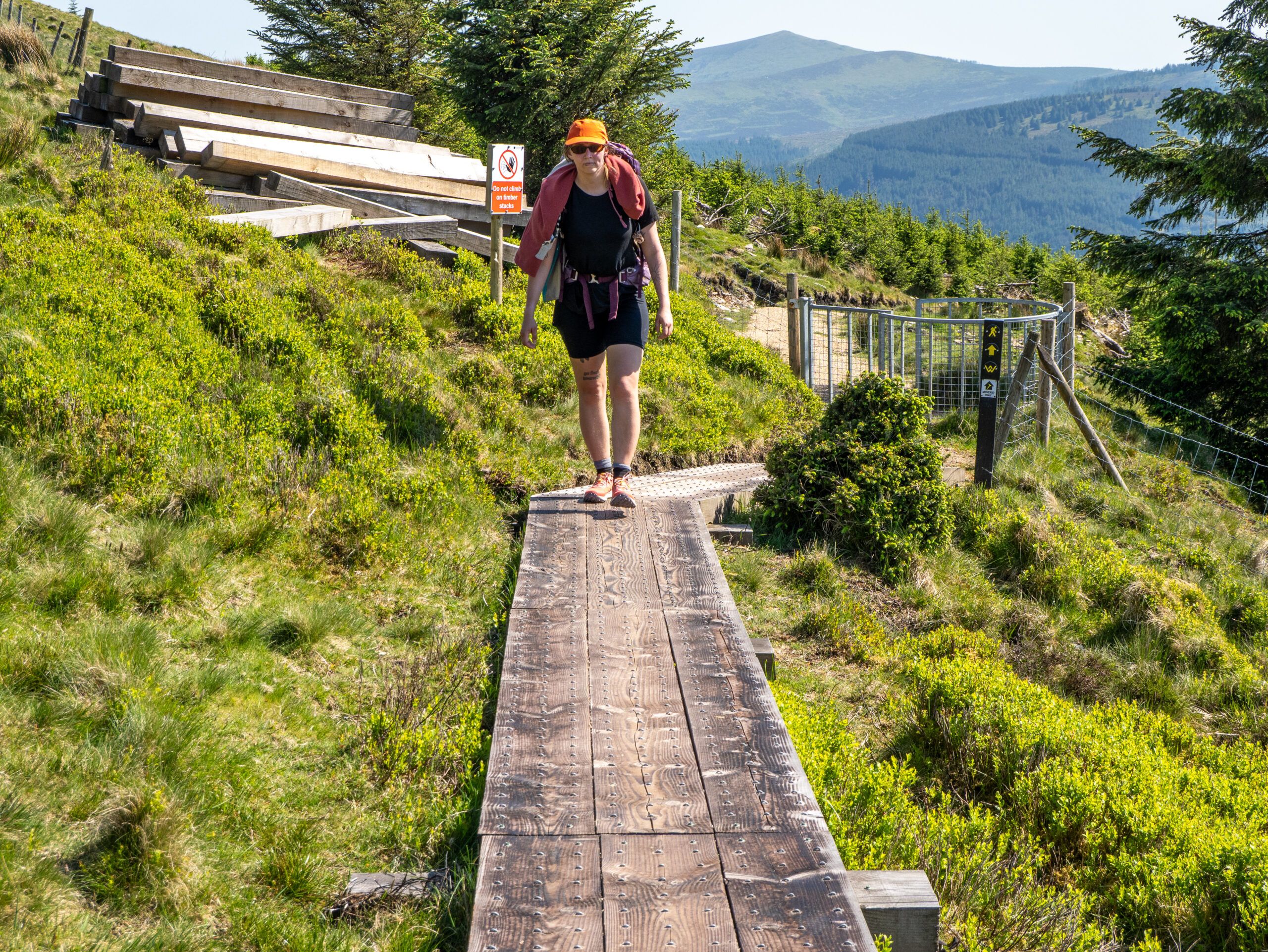
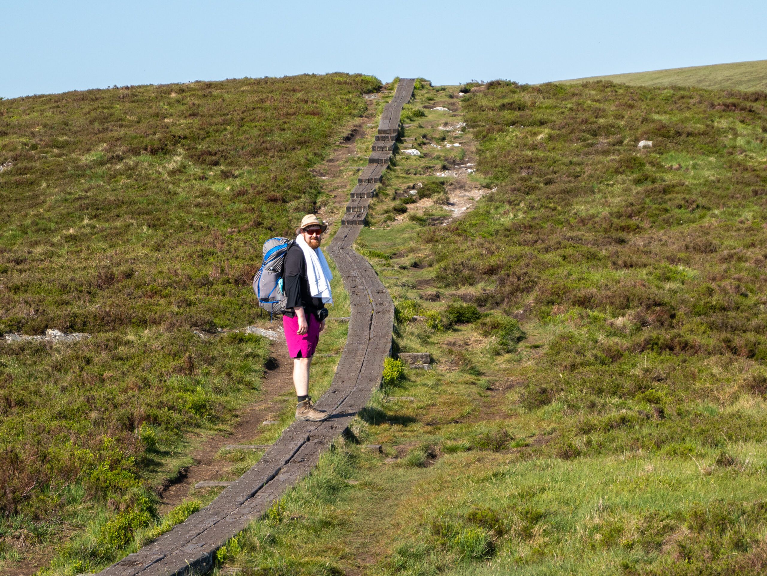
Day 4 kicked off right away with an ascent into a pretty heavily logged area—unfortunately, forestry is part and parcel of the Wicklow Way. Luckily, after a short while, we hit a pretty cool boardwalk over the damp sections, one of the stretches you recognize from photos of the trail.
Otherwise, the day was all about lots of bugs, lots of sun, and very little shade. So little shade, in fact, that Pal decided to take a taxi from the next pub to our destination for the day, the International Youth Hostel in Glendalough, where we’d booked a room. Freya and I continued on the partially melted and now sticky tar, taking an alternate route because the original path was closed due to forestry work.
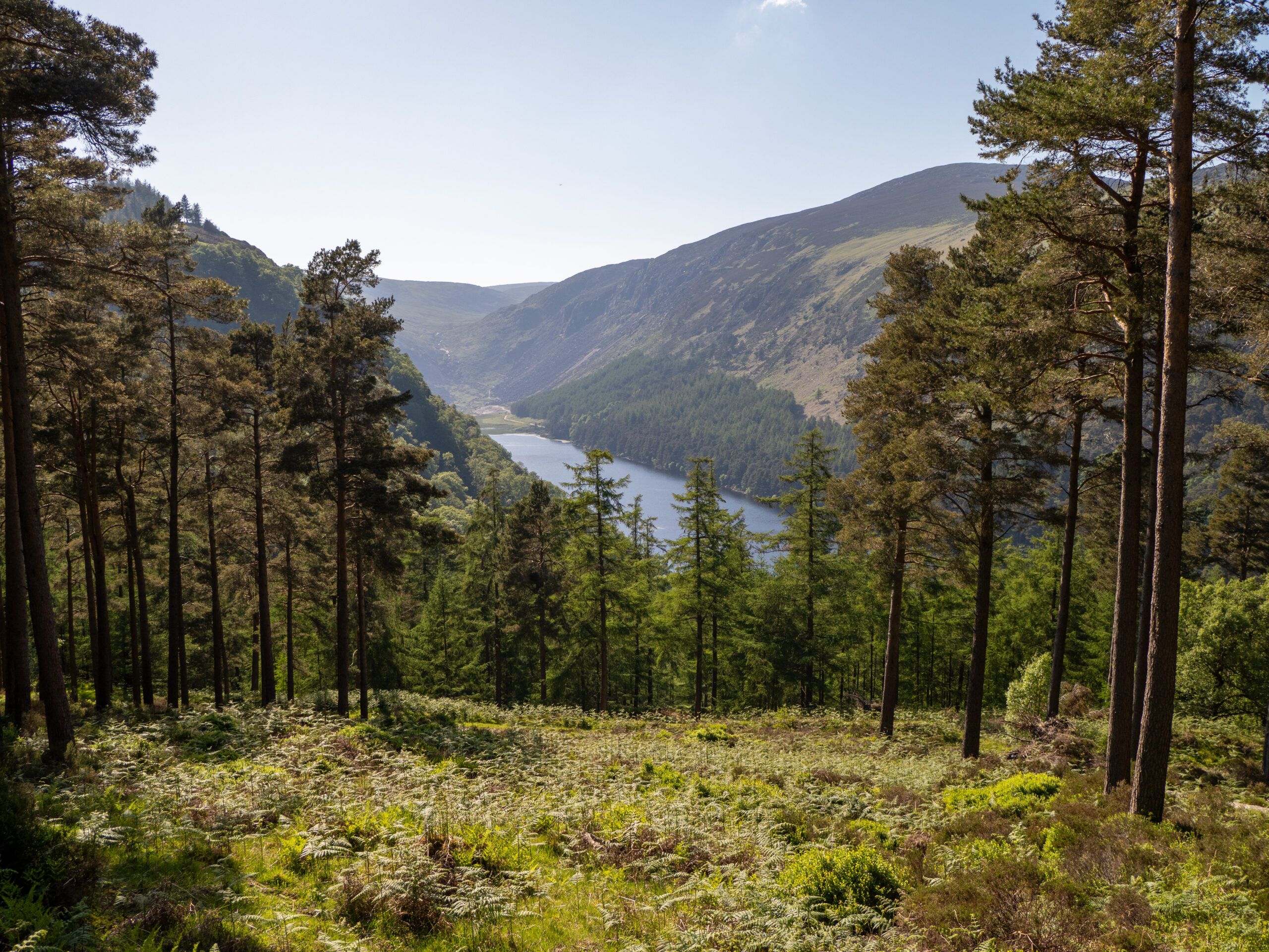
But that day, we set foot in the Wicklow Mountains National Park for the first time, passed through the most touristy part of the entire trail—Glendalough with its round tower and two lakes—and were able to take a shower that evening. What a wonderful day.
Day 5: The Big Slushie Disappointment
Today we suffered a bitter disappointment, because on our fifth day we took a detour to a campground that had advertised a slushie machine. There was no one there, and when we called to inquire, it turned out the machine was broken. So we had to move on without any slushies. An absolute letdown.
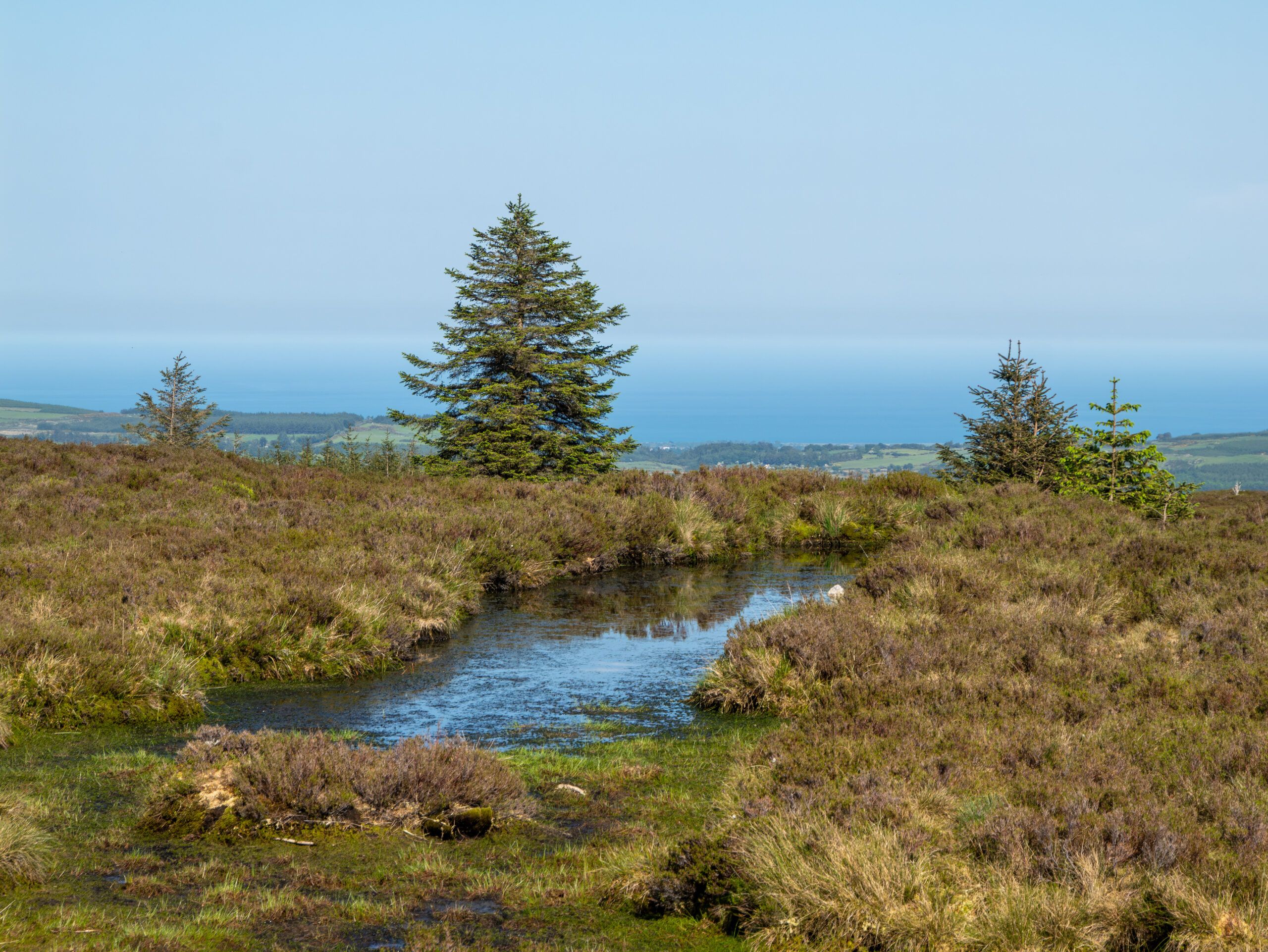
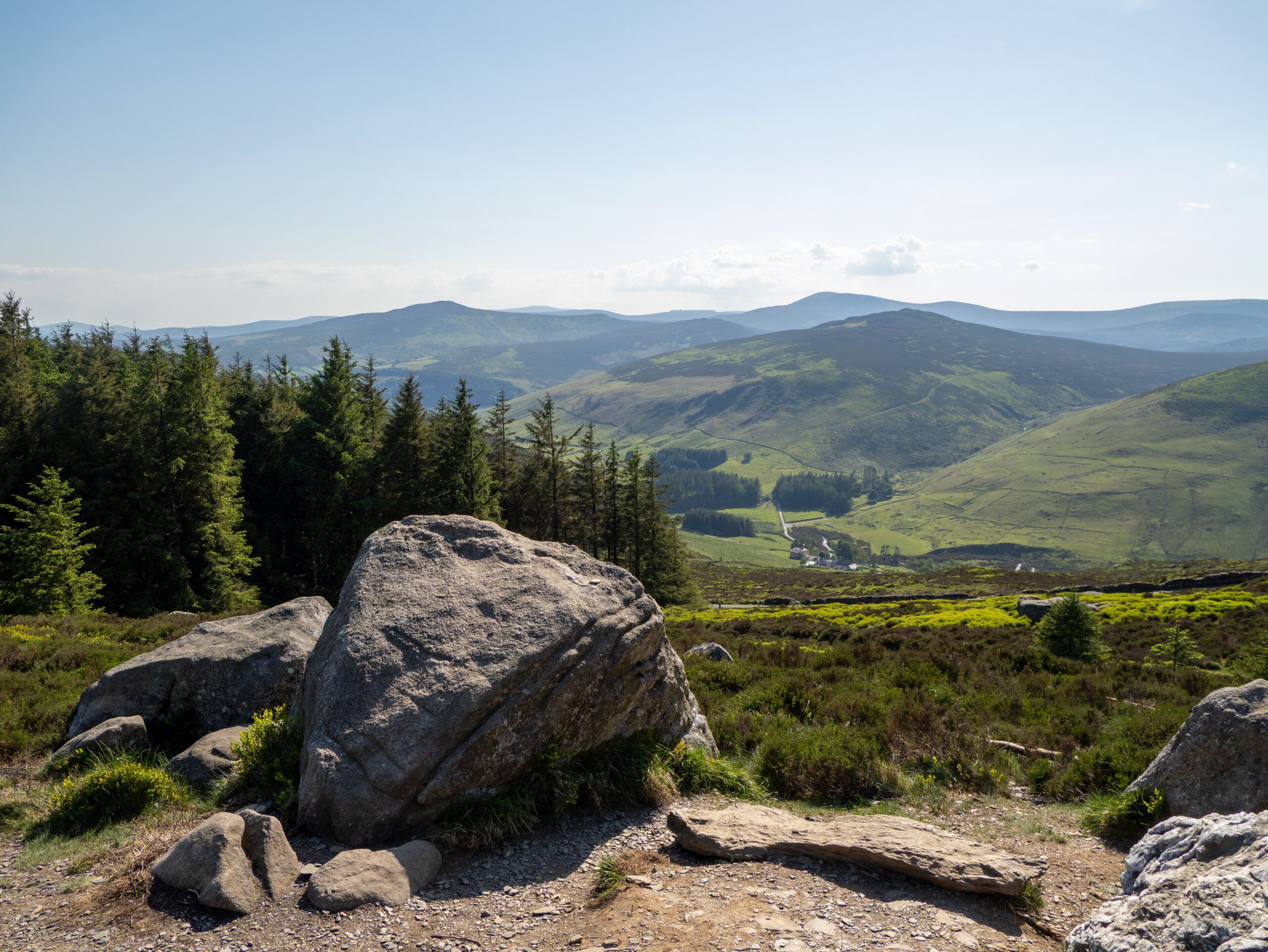
The scenery and our campsite, on the other hand, were anything but a disappointment. The stage took us across vast, open moorlands with views over half of Wicklow, and by the end, we’d pitched our tent at the highest point of the entire route. After the kilometers of asphalt from the previous days, this was the perfect compensation.
Day 6: Powerscourt, the Dublin Mountains, and the Finish at Marley Park
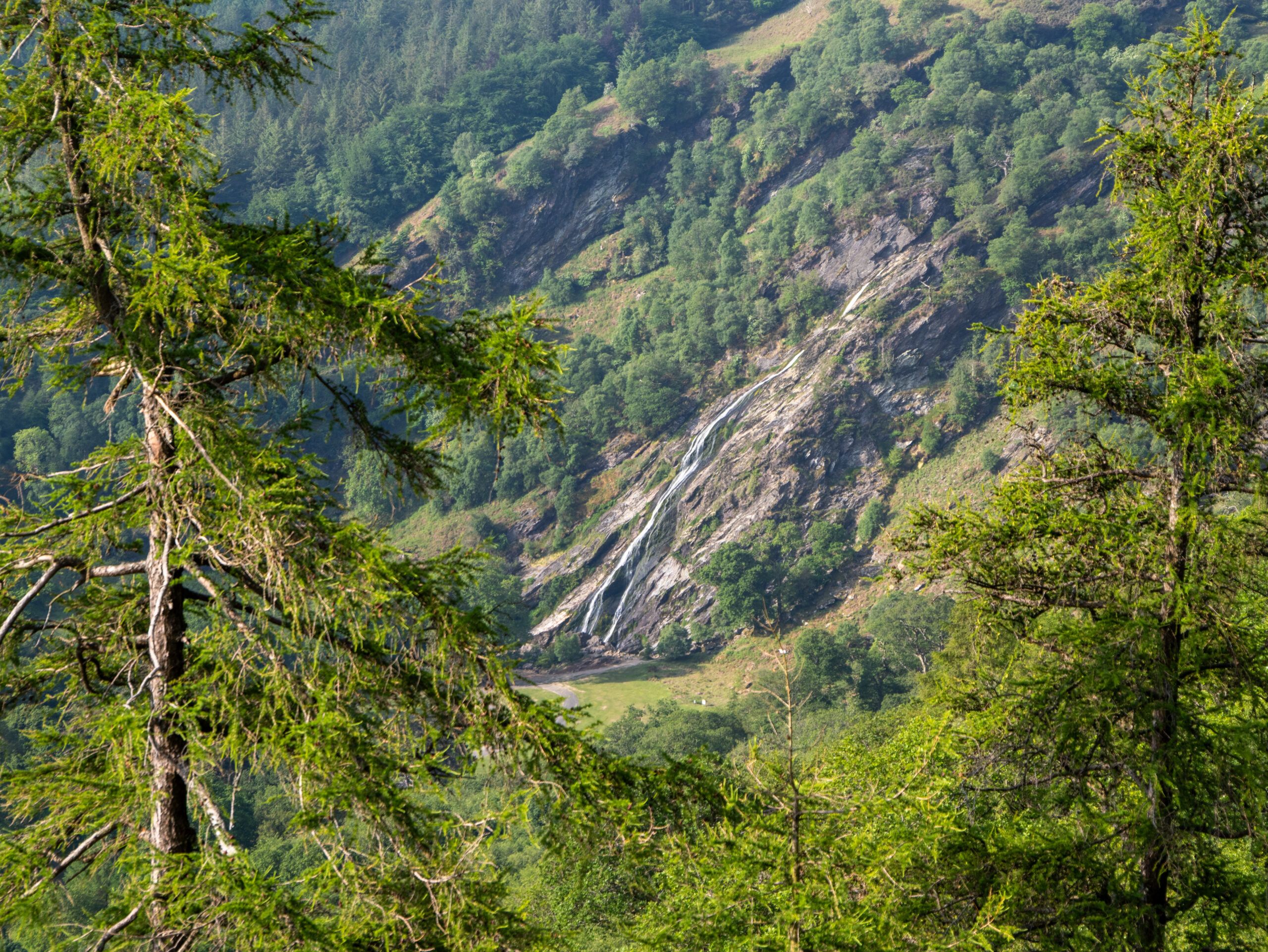
The last—and longest—day took us past Powerscourt Waterfall, Ireland’s highest waterfall, on through the Dublin Mountains, and finally down into the beautiful Marlay Park.
The transition is unique: one moment you’re hiking across open hills with a view of the mountains, and a short time later you’re standing in the middle of a Dublin city park among dog walkers and joggers. The trail ends, and the city begins.
Somehow, I really liked Ireland—but I think next time I’ll be completely shocked if it actually rains there. We didn’t see a single raindrop the entire time, and I think that’s actually quite unusual.