Selketal Trail – Hiking from Stiege to Quedlinburg

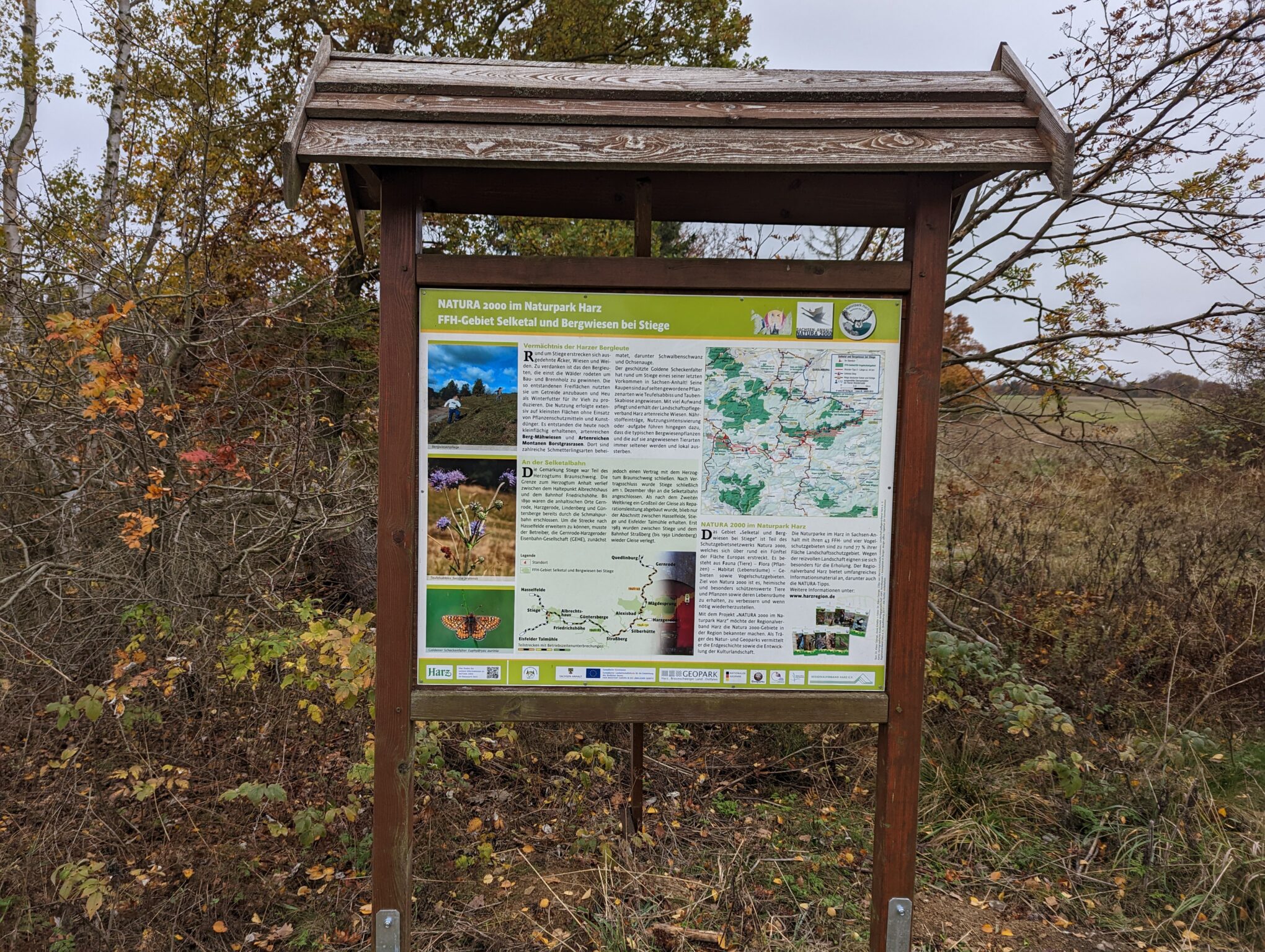
The Selketalstieg is a scenic hiking trail in Saxony-Anhalt that stretches 75 km along the eastern edge of the Harz Mountains. It follows the course of the Selke River and the route of the Selketalbahn railway. The Selketalstieg runs entirely through nature reserves and bird sanctuaries that have been designated as such since 1994. Previously, the area was divided into the two-part Selketal Nature Reserve. If you’re wondering whether it’s worth bringing a drone on the hike, please note that this is not permitted without official authorization.

Ornithologists will be delighted to know that the nature reserve is home to Germany’s largest known population of common swifts. You might even catch a black stork or a kingfisher on camera.

What’s the best time of year for the Selketalstieg?

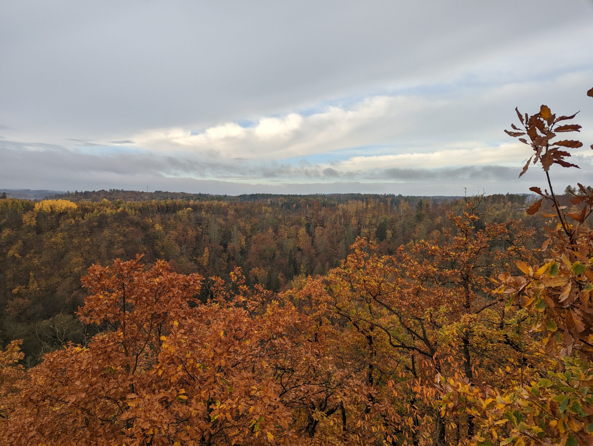
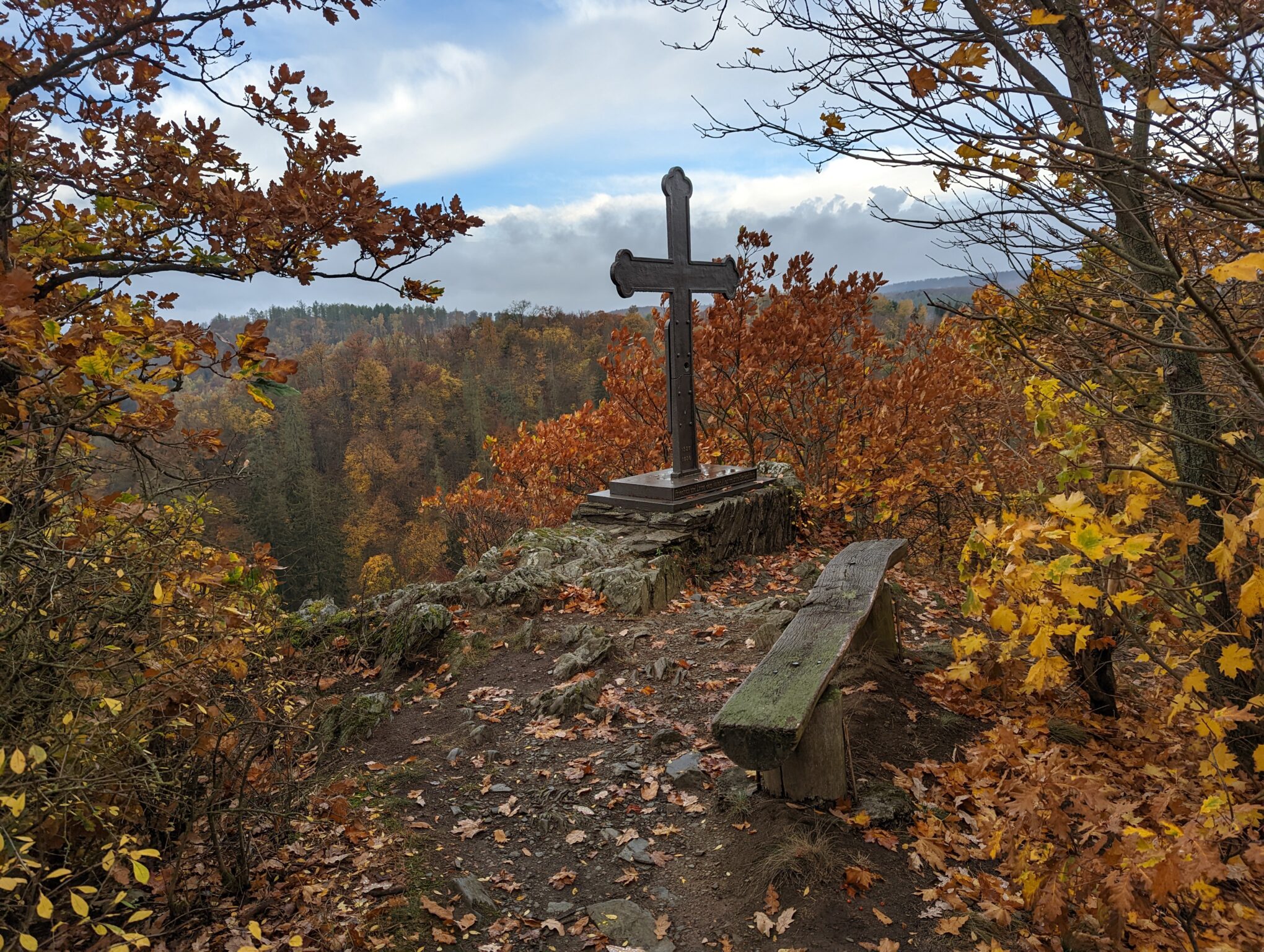
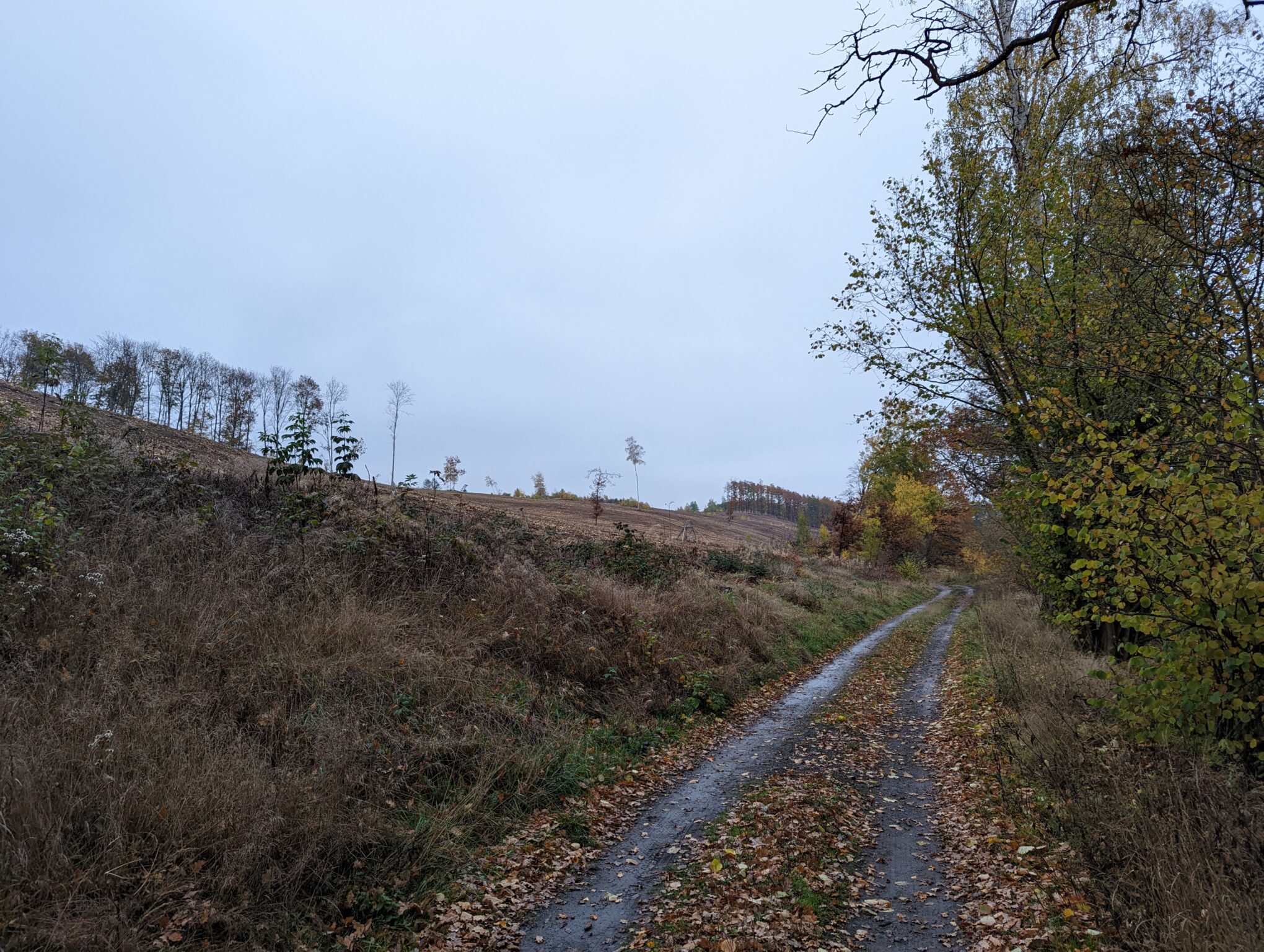
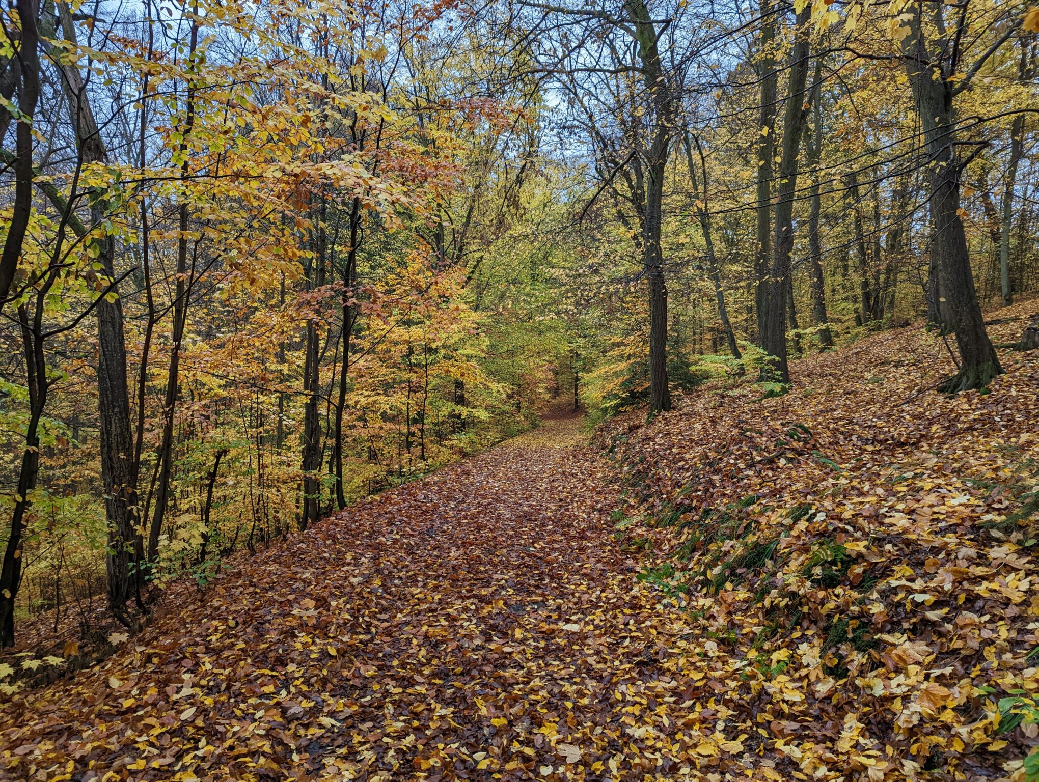
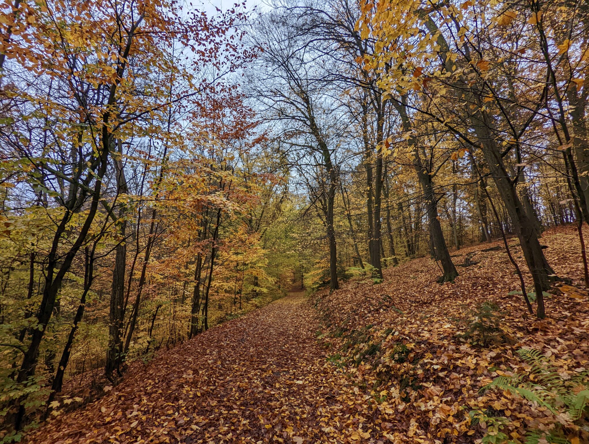
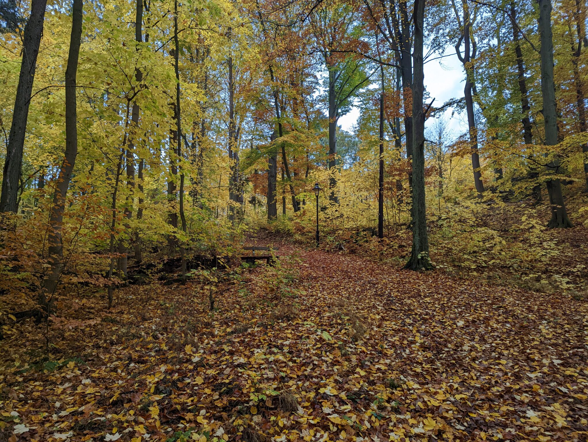
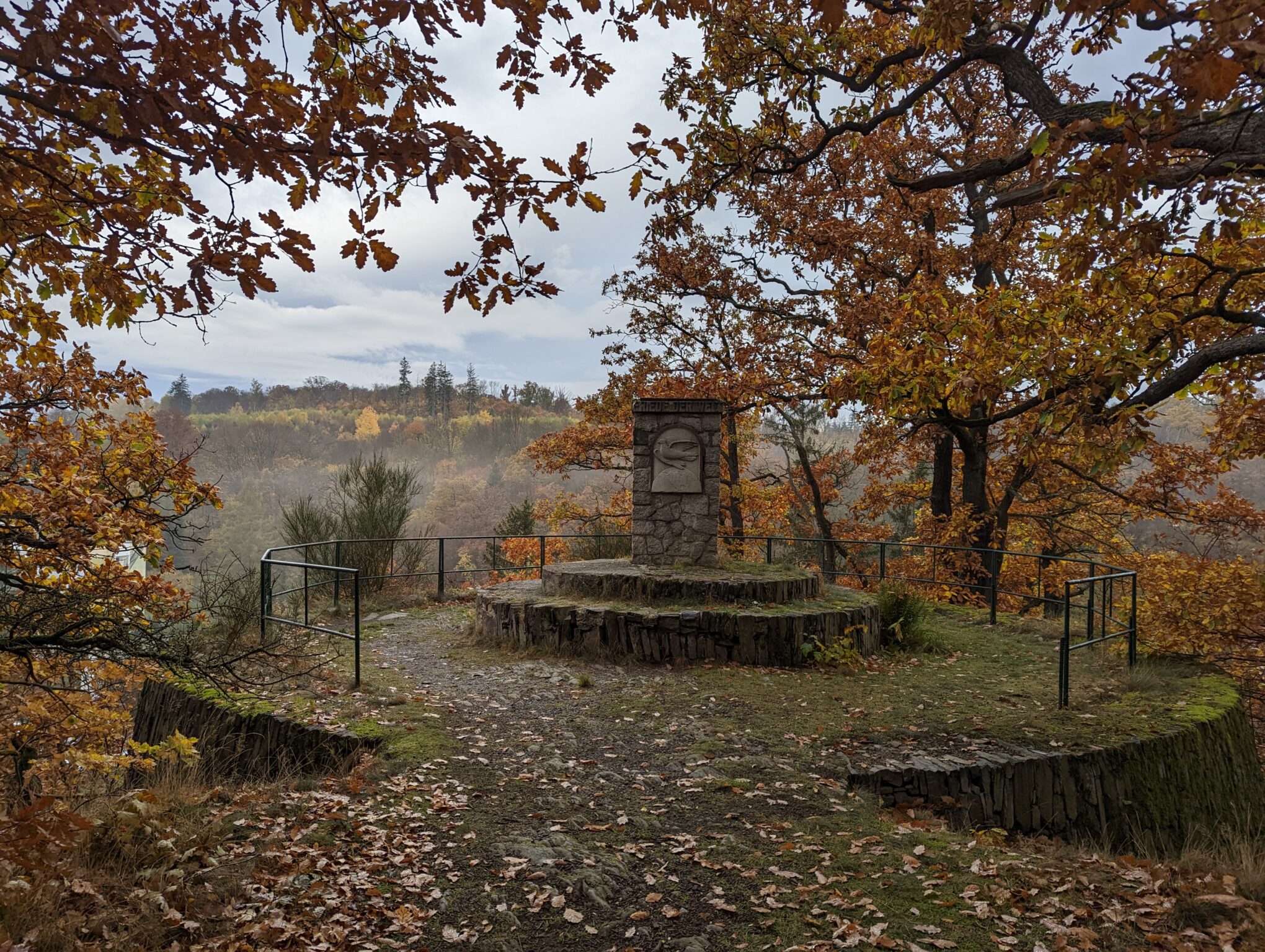
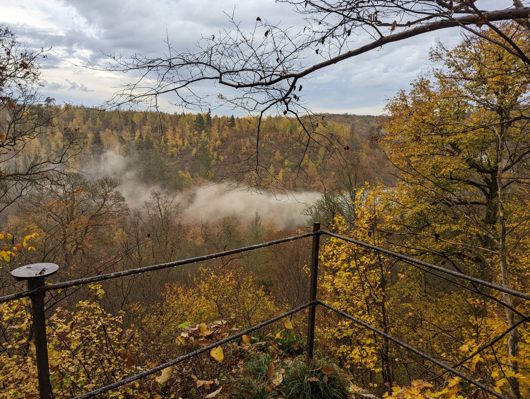
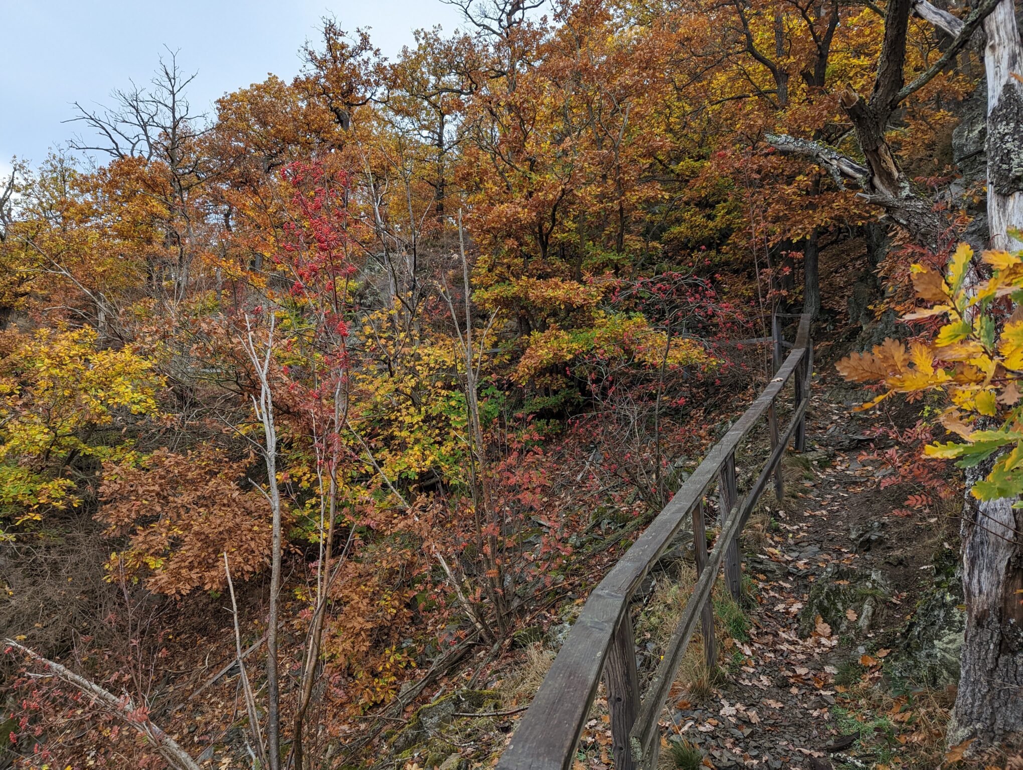
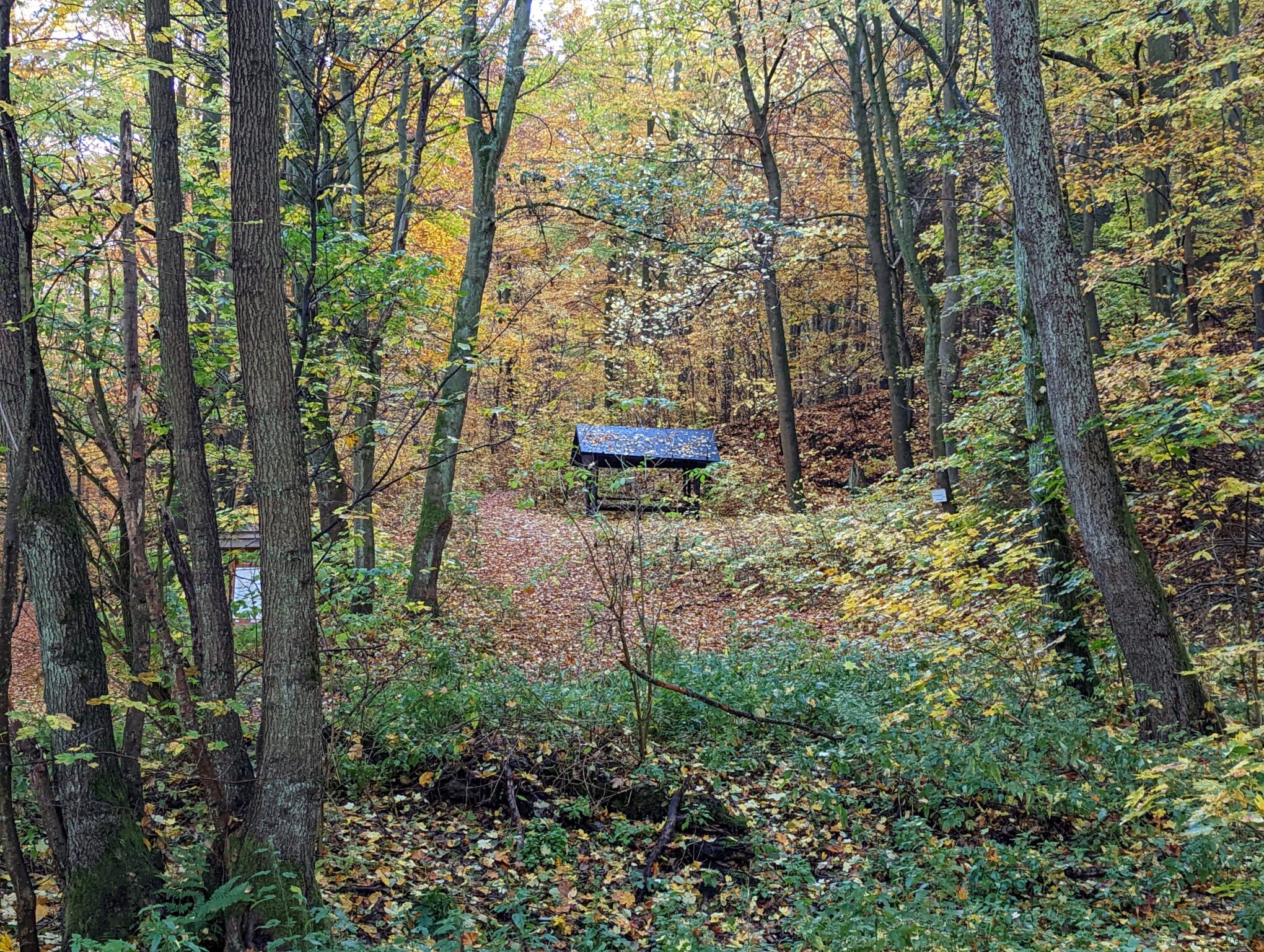
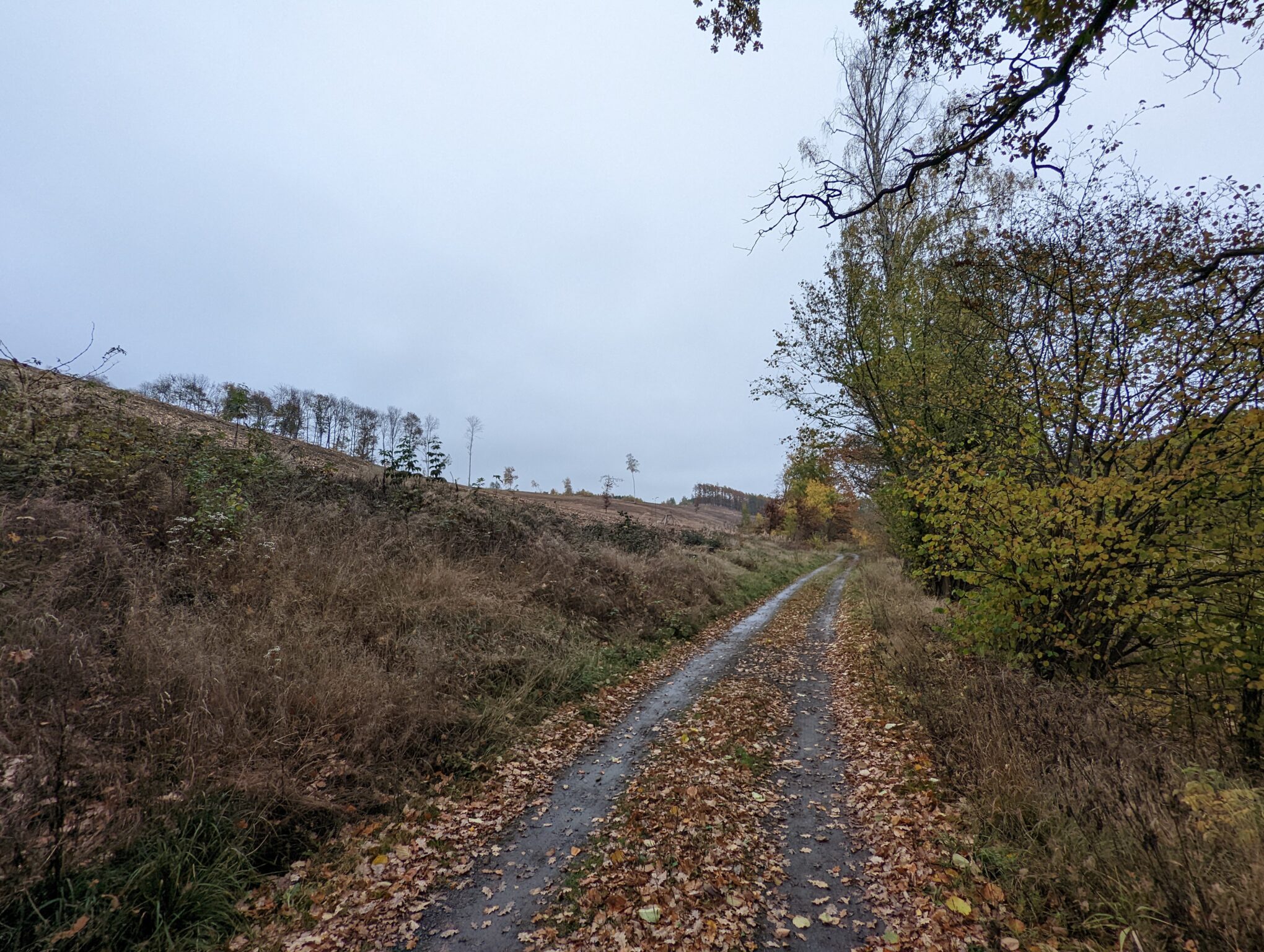
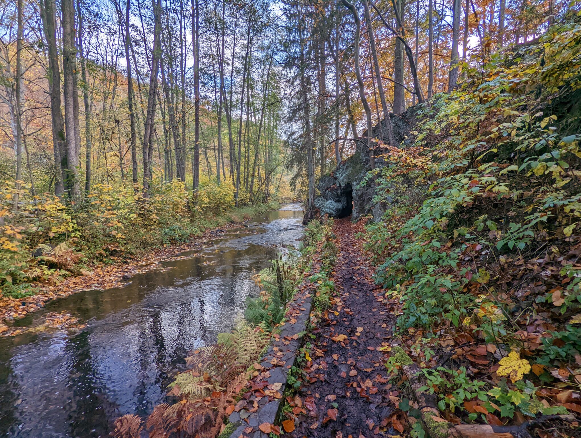
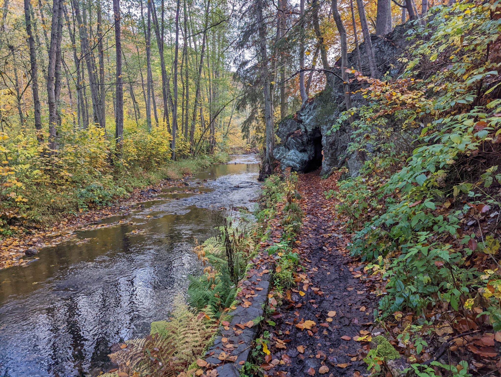
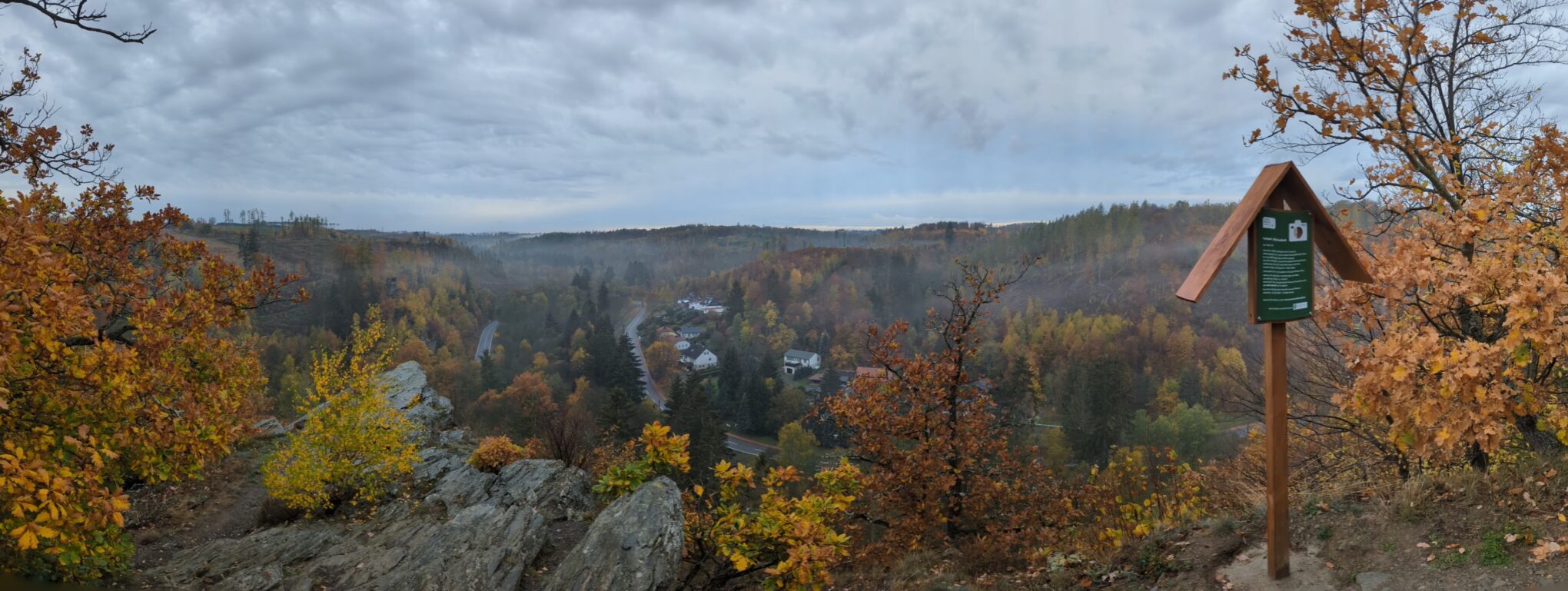
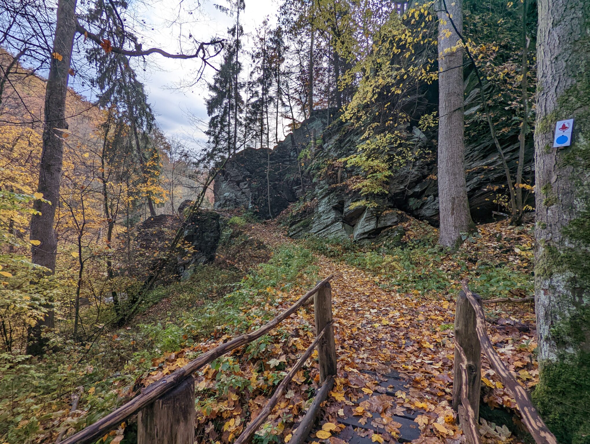
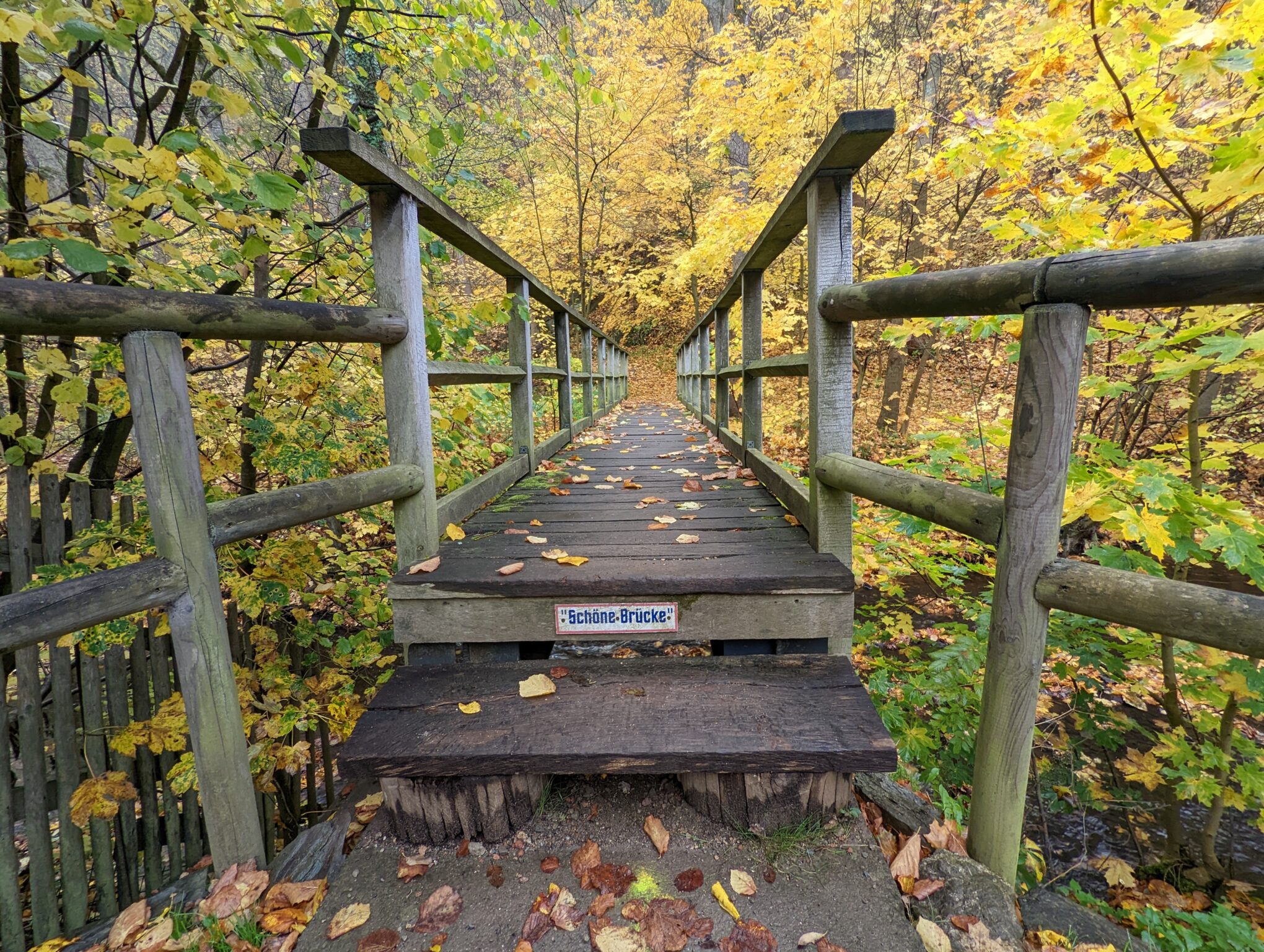
In my opinion, it’s definitely fall. Just look at the photos! There are many deciduous trees here, and especially starting from Alexisbad, you’ll walk through a veritable sea of colors. You might also get lucky in the spring, but on our last hike at the end of March, neither the weather nor the flora was particularly impressive. In April, however, things could look quite different. The charm of summer lies in the fact that, along the first 50 km, you have plenty of opportunities to cool off in the Selke River.
Overnight Stays on the Selketalstieg

In my opinion, it’s not legally possible to spend the night in a tent on the Selketalstieg. There are no official campgrounds along the trail, nor are there any explicitly designated overnight spots. That doesn’t mean, however, that there aren’t suitable places where it can be quite appealing to pitch a tent or set up camp near one of the huts.

Here are a few spots I’ve noticed that might be suitable:

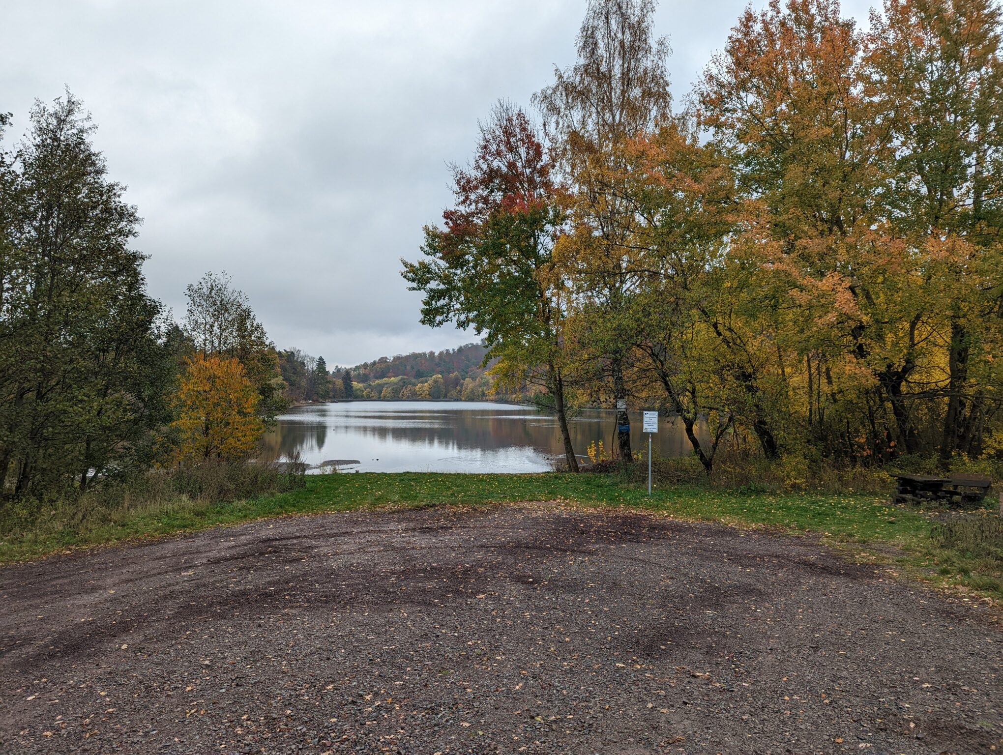
  • KM 10 – At Katzohlteich
    There’s a stamp station here, as well as a flat grassy area and picnic tables. However, it could get pretty chilly at night, and the spot isn’t far from Güntersberge. The stamp station is also a good reason to set off again early in the morning.
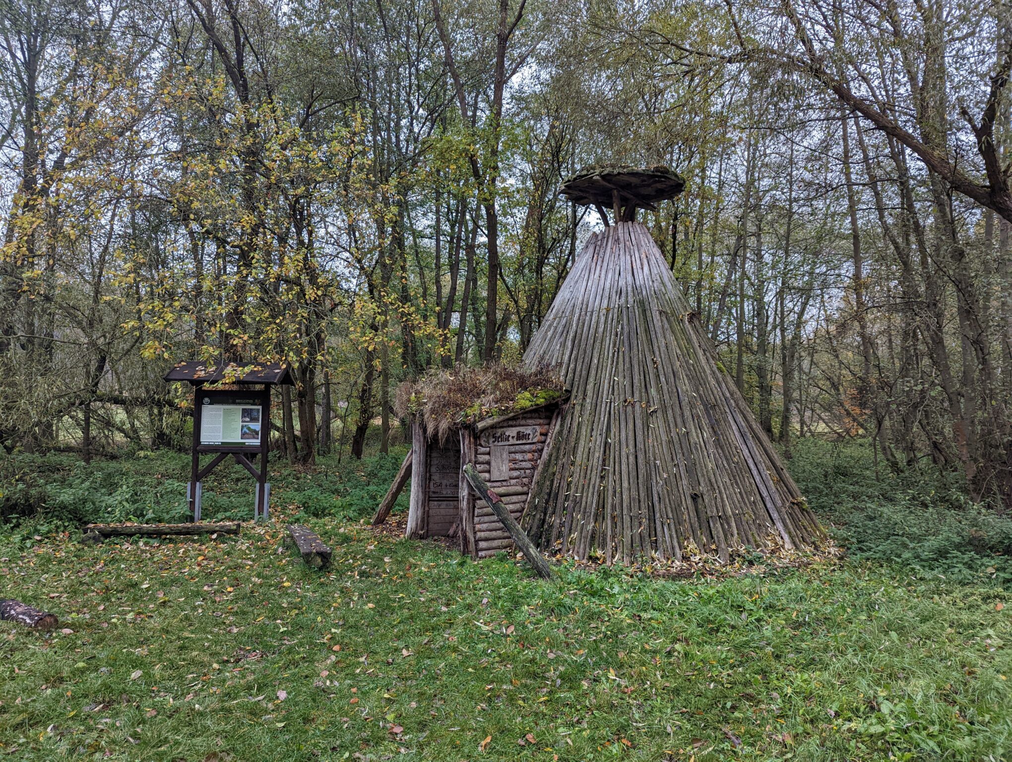
  • KM 13 – Shelter – Selketal Köte
    This spot is probably used frequently for camping. Among other things, I found an MSR Groundhog tent stake here. There’s also a fire pit that’s obviously used regularly. The site itself is a bit messy, and the shelter has clearly seen better days. The Waldoase guesthouse is just a short walk away.
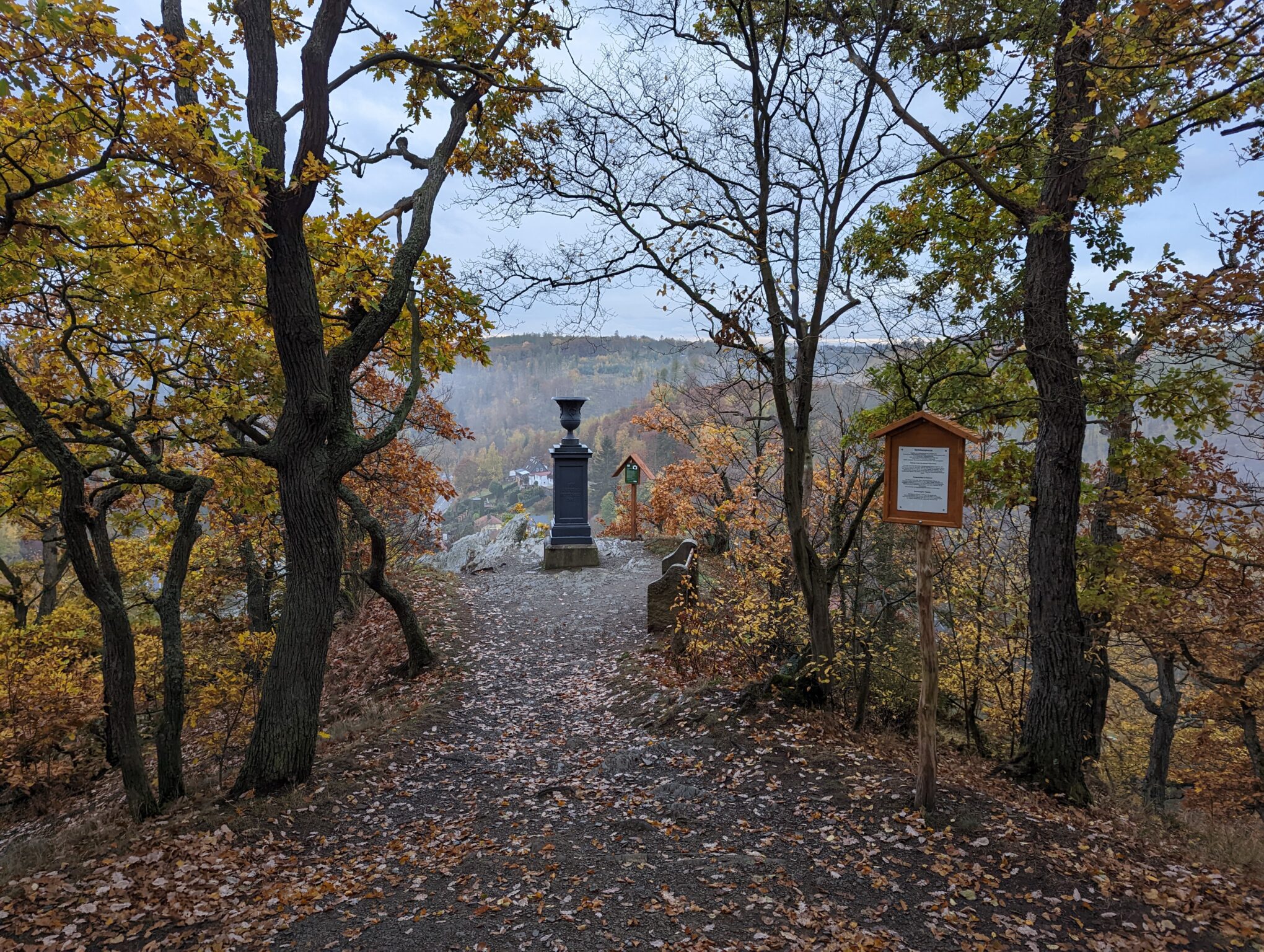
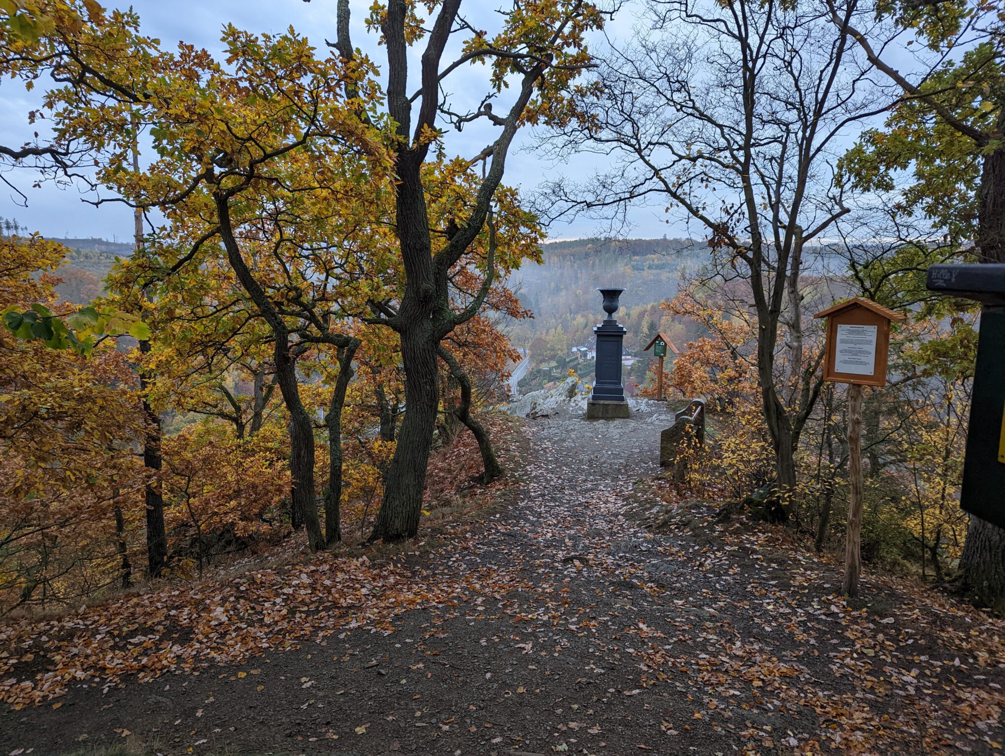
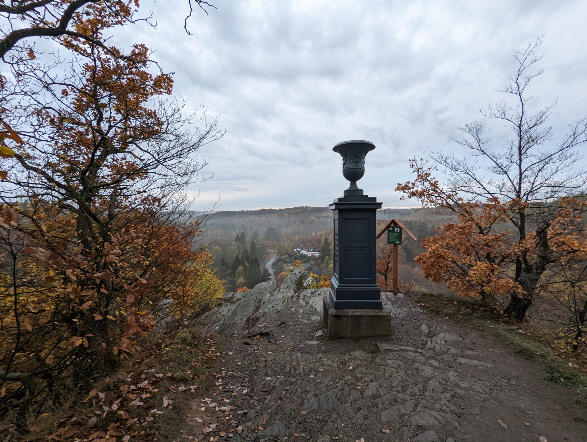
  • KM 25 – Shelter – Verlobungsurne
    Although this isn’t an ideal spot for a tent, it’s a nice shelter with wide benches and a great view. However, the site is quite busy and not particularly quiet, as you can clearly hear the roads in the valley. There’s also a chance you might be seen from some of the houses in Alexisbad. A few meters in front of the shelter, there’s also a bench with a table.
  • KM 26 – Shelter – Birkenhütte
    The Birkenhütte is located directly below the trail, a little off to the side. It is not a fully enclosed shelter, but it might be a good idea to pitch a tent right next to it. There is also a table and a bench.
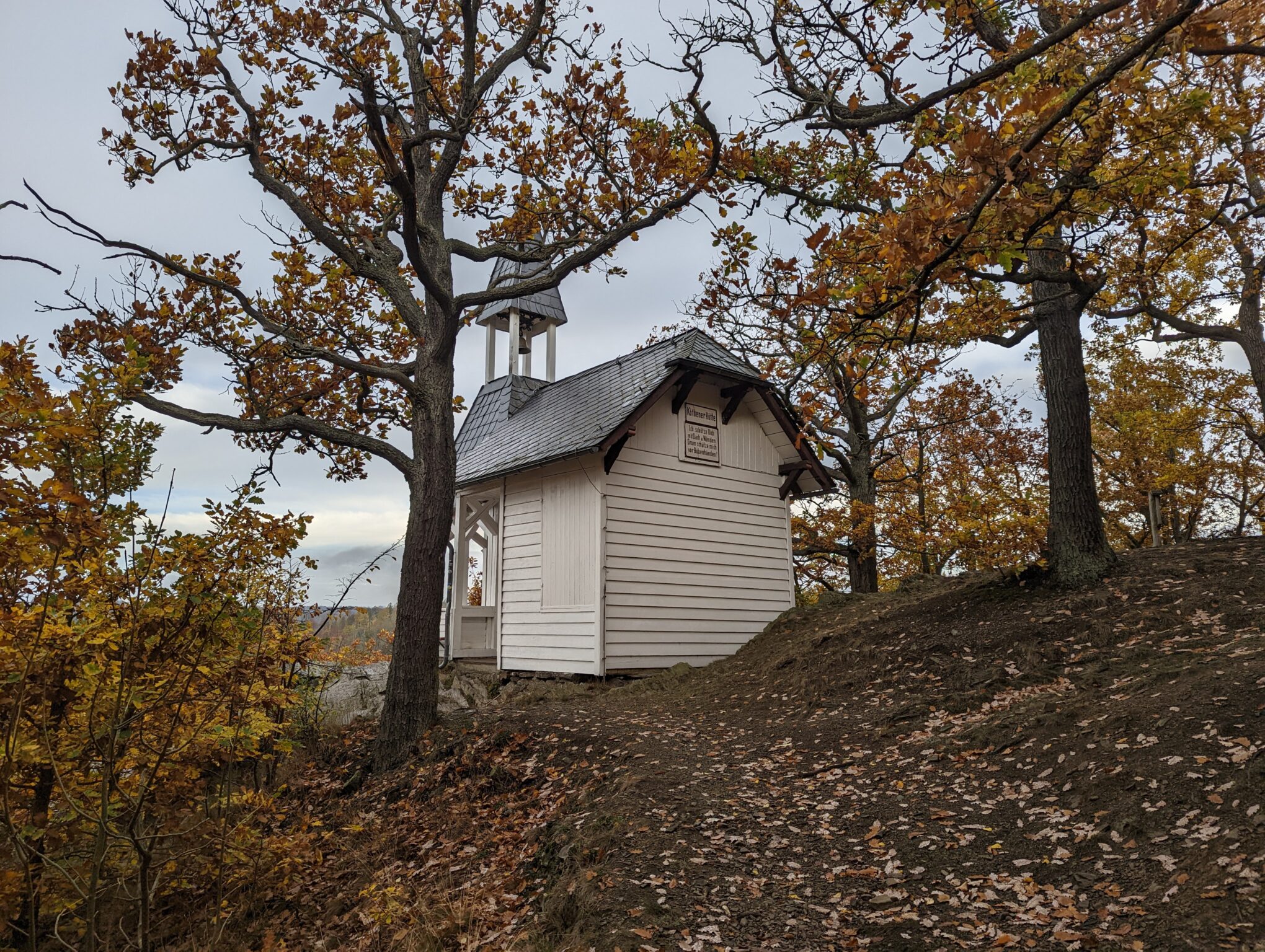
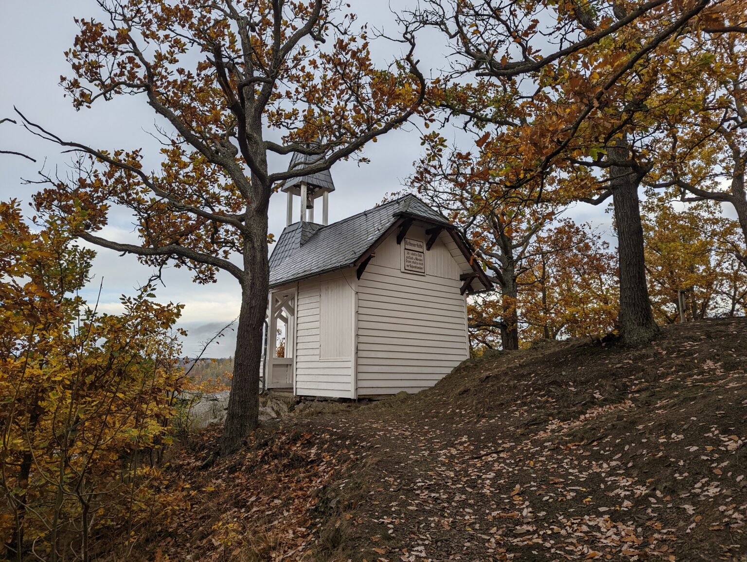
  • KM 29 – Shelter – Köthner Hütte
    It might be possible to spend the night on the floor in the shelter’s entrance area. The spot is popular and is located right next to a stamp station.
  • KM 33 – Shelter
    This shelter is relatively close to civilization. It’s located near residential homes and is separated from a low-traffic road only by the Selke River.
  • KM 40 – Shelter – Mettenberg
    A shelter with a spot where a tent could be pitched. The area is heavily frequented, and the shelter is right next to a stamp station. I’ve also seen cars here driving along the trail through the Selke Valley. If you want to play it safe, you should walk a few meters further.
  • KM 43 – Campground – Tahlmühle Vacation Rentals
    The only campground right on the trail. There are also glamping tents, vacation rentals, and more here. It might not be the cheapest option, but it’s probably the most convenient choice. For more information, visit the website: www.ferien-thalmuehle.de
  • KM 51 – Shelter – Am Kohlenschacht
    This shelter has space for one tent. It’s not far from Ballenstedt, and there’s a stamp station right nearby.
  • KM 57 – Shelter – Am R1 Fürstenweg
    A shelter with space for tents. It’s located near Rieder and right on the R1 bike path.
  • KM 62 – Försterblick
    The Försterblick offers a great view of Gernrode and has tables and benches as well as a stamp station. There isn’t an actual shelter, but there’s enough space for a tent. After that, in my opinion, it becomes difficult to find a suitable spot to camp until you reach Quedlinburg 13 km later.

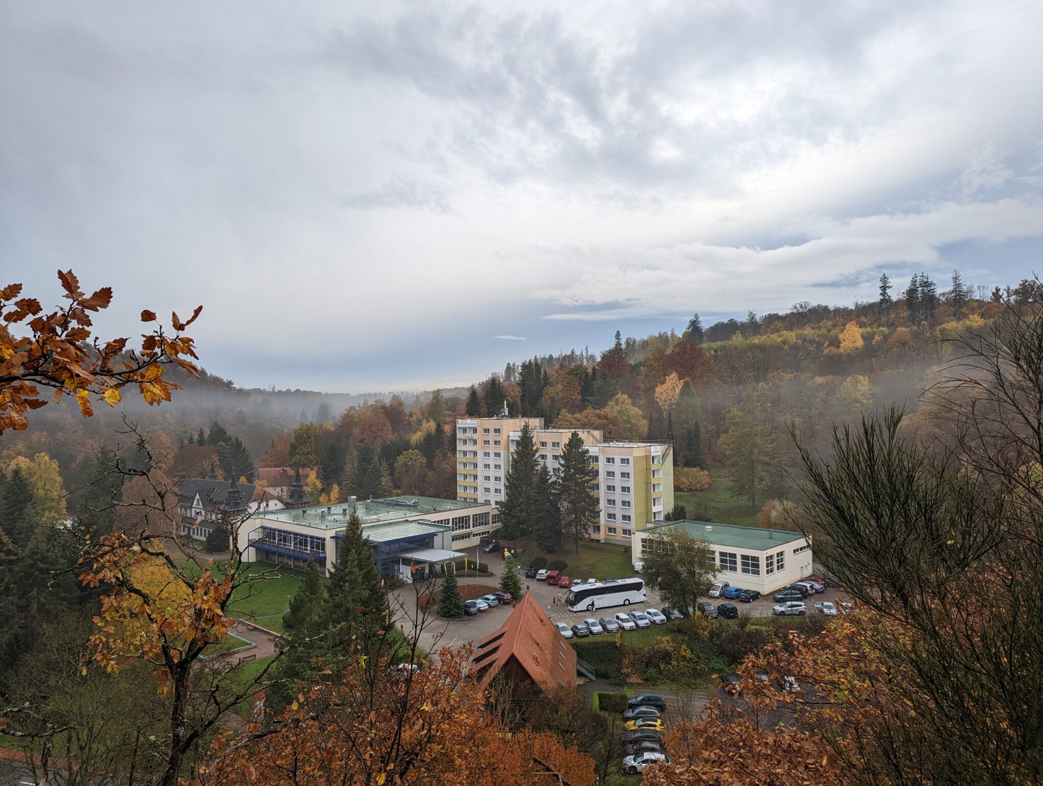
If you prefer something less rustic or want to stay on the safe side legally, the Selketalstieg offers good options. For example, there’s the Waldoase guesthouse very close to KM 13. Near KM 25, in Alexisbad, there’s a hotel—though it was quite expensive when I checked it out on Booking.com. Furthermore, KM 43 offers another option with the Tahlmühle vacation rentals. A few meters further on, there’s also a resort. There used to be a hotel in Meisdorf that is currently being renovated, which means it’s only a matter of time before there’s accommodation available again at KM 50. There are several options in Ballenstedt, and you’ll also find places to stay in Gernrode and Bad Suderode.

This should also be possible without any major problems. Thanks to the connection to the Selketalbahn, you can easily travel back and forth within the train’s operating hours. There are also bus connections, though I don’t have exact information about them. The best places to check for schedules would be the Harzer Schmalspurbahn website and the DB Navigator. There are also tour operators that offer fully planned and organized hikes along the Selketalstieg, such as wandern-im-harz.de.

Route and GPX Track for the Selketalstieg

Details
Selketalstieg – Komplett
Collection
?
Export
More Details

Water and Food on the Selketalstieg

If you’re carrying a water filter, you don’t need to worry. That way, you can filter some water from the Selke at any time. Between Alexisbad and Mägdesprung, you’ll walk away from the Selke for a while, and starting in Meisdorf, you’ll essentially be out of water for the last 25 km, since we had to say goodbye to the Selke.

As far as I know, there are no grocery stores along the trail. You could make a detour to Ballenstedt or Gernrode/Rieder. According to Google Maps, there are restaurants along the way, but they’re rarely located directly on the trail.

Collecting Stamps on the Selketalstieg

If you’re diligently collecting stamps for your Harz Hiking Pin, you can cross a few off your list after the Selketalstieg. If you’re willing to take a few extra detours, you can collect even more stamps. Here’s a brief overview:

Right along the trail

  • HWN172 Katzsohlteich
  • HWN176 Uhlenköpfe Hänichen
  • HWN177 Engagement Urn, Alexisbad
  • HWN195 Köthener Hütte
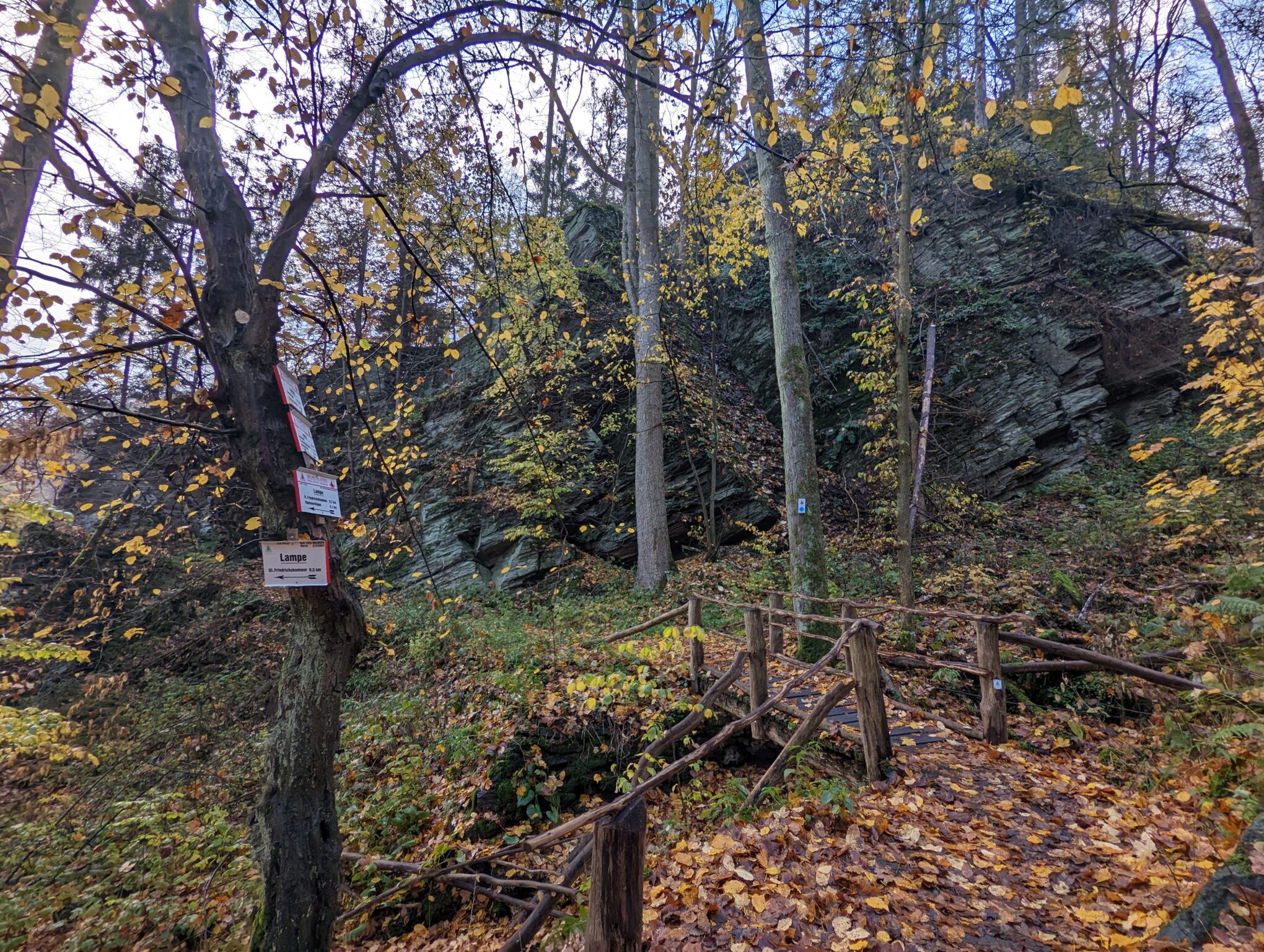
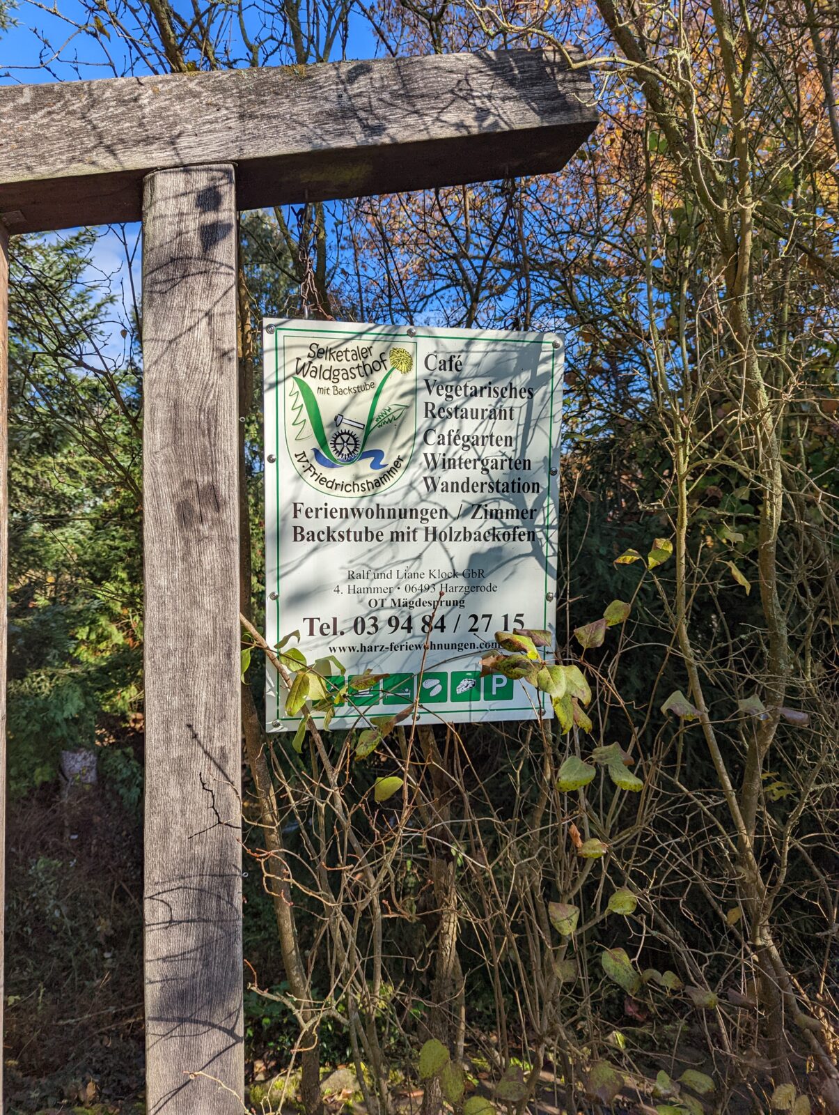
  • HWN179 IV. Friedrichshammer
  • HWN203 Mettenberg
  • HWN200 Falkenstein Castle
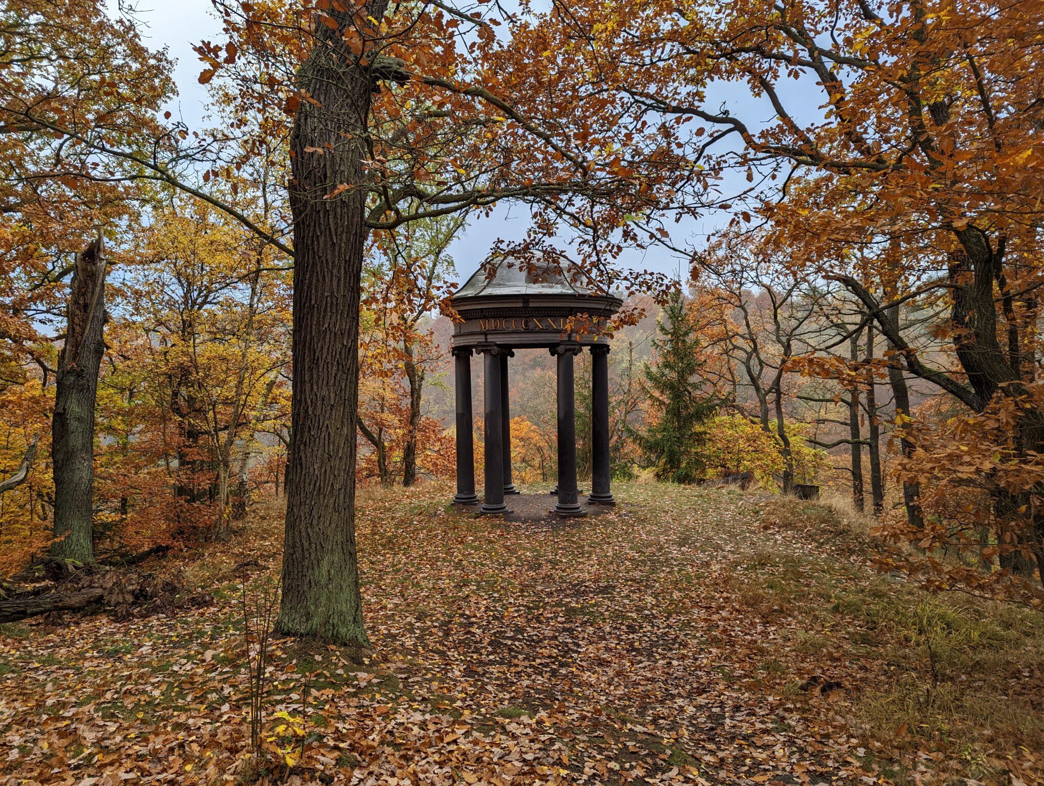
  • HWN207 Mausoleum
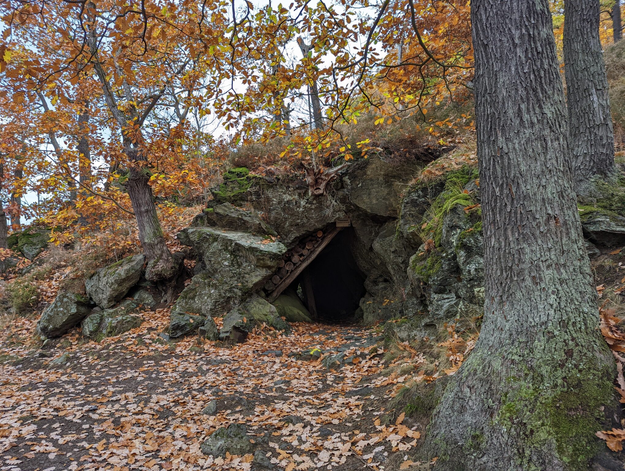
  • HWN180 Old Coal Mine
  • HWN183 Försterblick Gernrode

Short detour

  • HWN055 Sellkenfelde Ruins/Church approx. 600 m, no incline
  • HWN173 Hirschbüchenkopf, approx. 600 m, slight incline
  • HWN199 Bismarck Tower, less than 1 km
  • HWN181 Forest Ranger Tannen, approx. 400 m
  • HWN185 Preußenturm, approx. 300 m, but uphill

Long or strenuous detour

  • HWN204 Selkesicht at Ackeburg—a major detour with a steep climb but a great view of Falkenstein Castle
  • HWN186 Anhaltinischer Saalstein, over 1 km
  • HWN197 Anhalt Castle Ruins, about 1 km, steep climb

Sights along the way

  • Stiege
    Castle Once you’re in Stiege, you can take the opportunity to explore Stiege Castle—provided you don’t end up there during the winter closure, like we did. So I can’t say whether it’s worth a visit; all I know, thanks to Wikipedia, is that the castle, built around the year 919, has had an eventful history. If you want to visit, it’s best to check here: schloss-stiege.de.
  • The Stave Church in Stiege
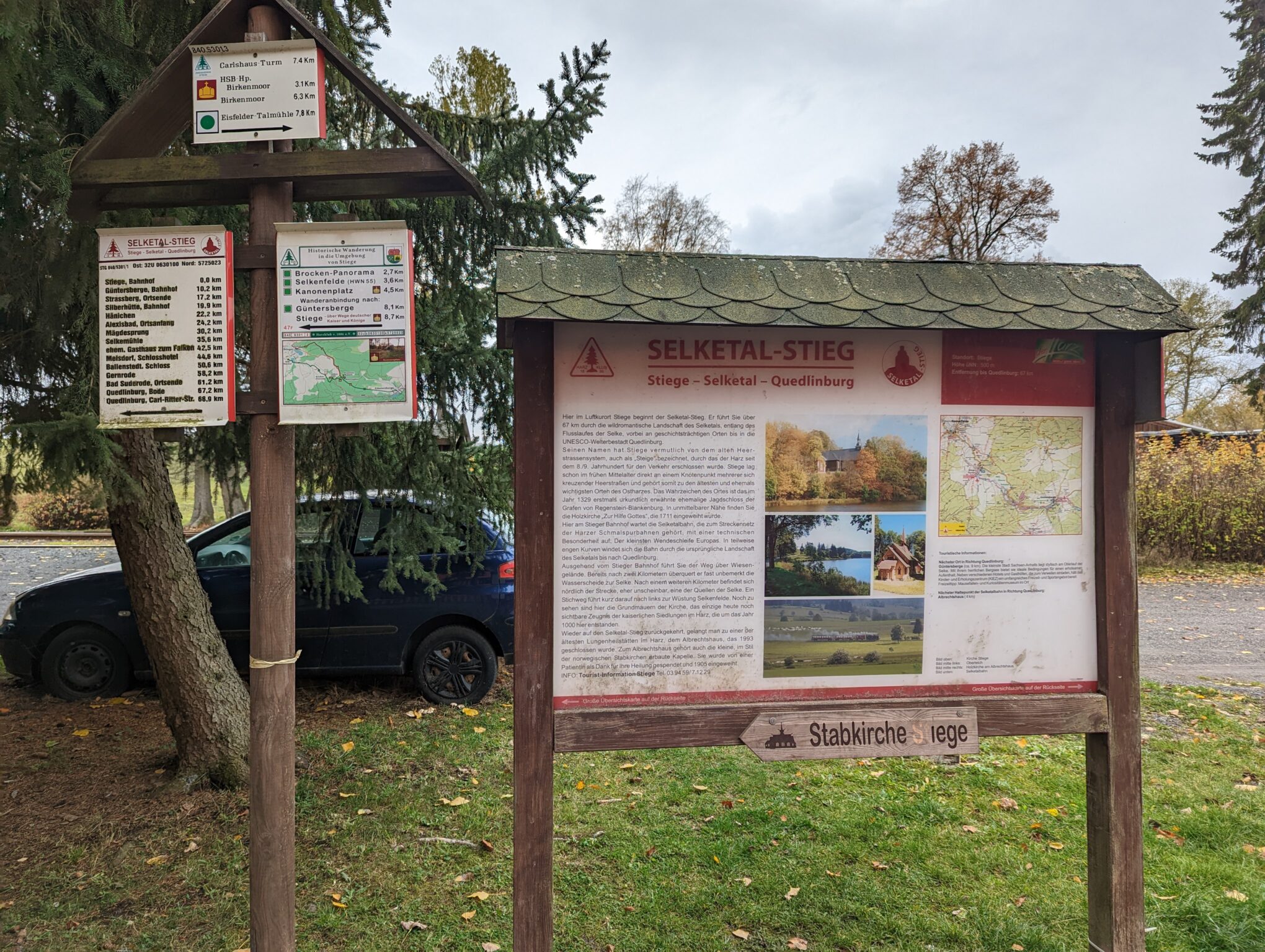
    Another sight worth seeing is the stave church. Although it was consecrated as early as 1905, it has only been at its current location near the Stiege train station since August 13, 2021. By the way, aside from this stave church, there are only two other replicas of Norwegian-style stave churches in Germany. You’re already familiar with one of them from my other hikes, as it’s located in Hahnenklee-Bockswiese. More information about the stave church in Stiege: stabkirche-stiege.de
  • Quedlinburg
    The UNESCO World Heritage city of Quedlinburg is known for its well-preserved medieval architecture and its charming old town.
Photos from the Selketalstieg

Etappen

No items found

Weitere Artikel

No items found