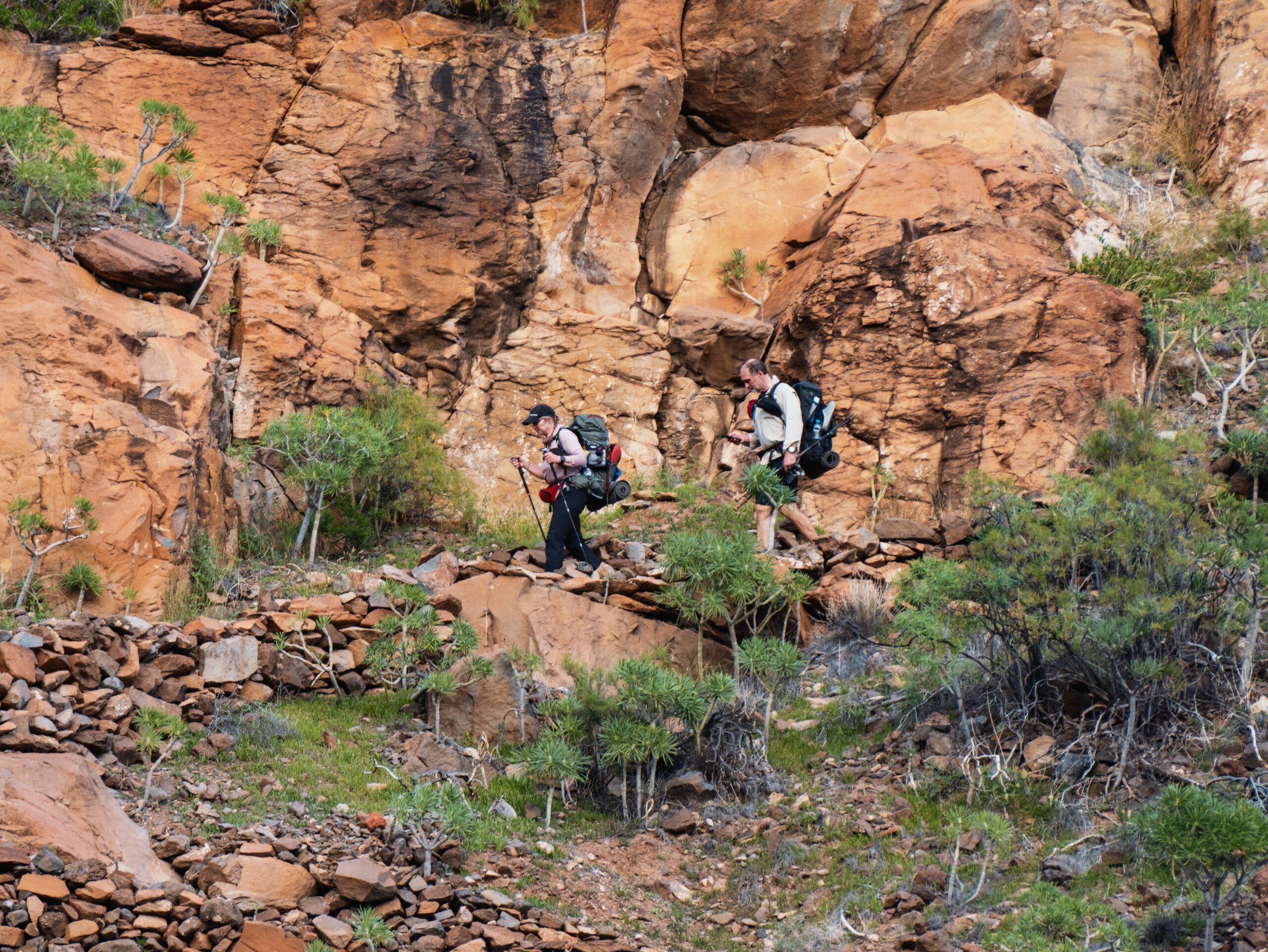
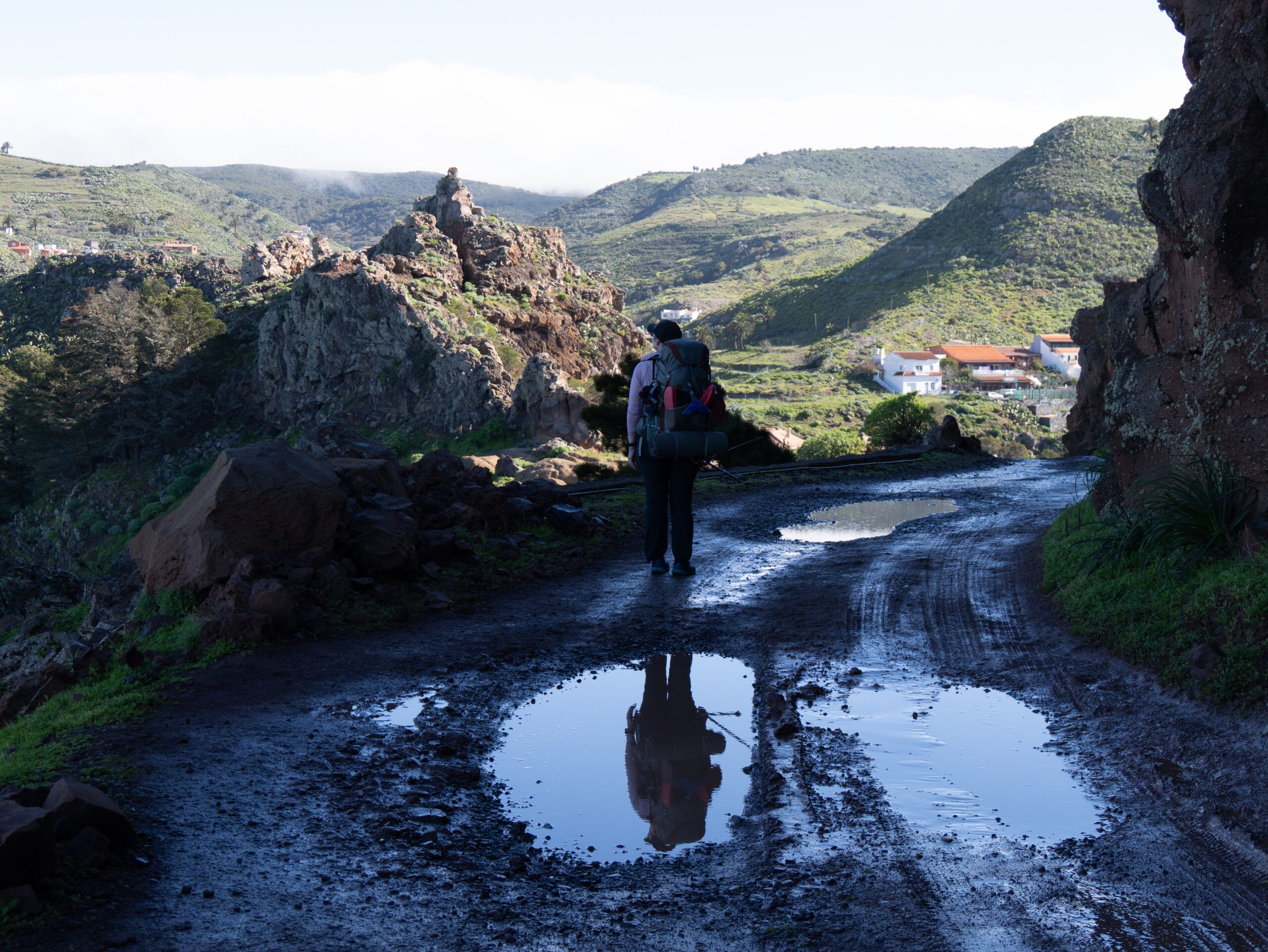
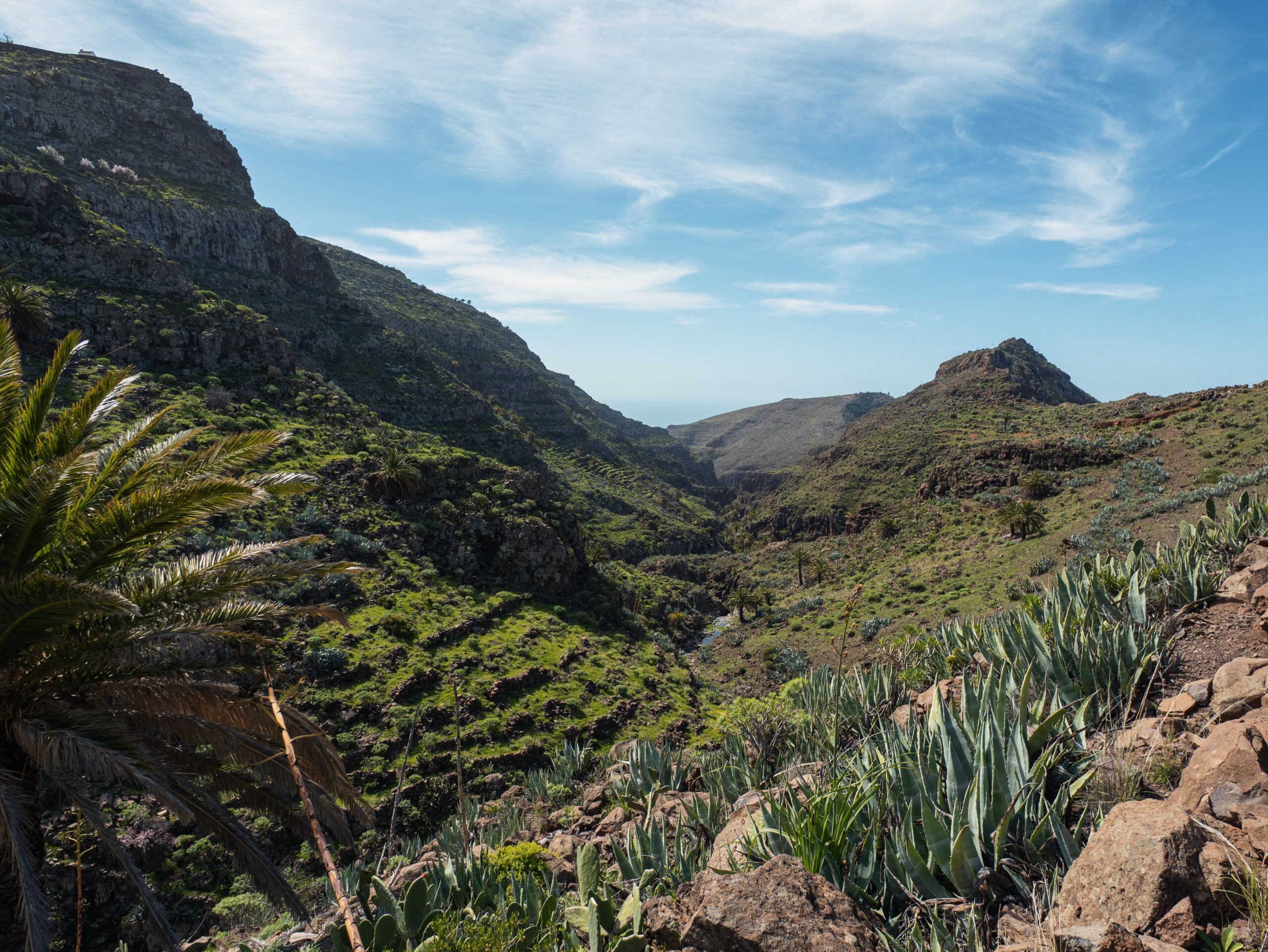
Planning to hike the GR 132 on La Gomera? Then buckle up. To be honest, every stage of this roughly 150-kilometer loop is quite challenging. With a staggering 7,900 meters of elevation gain, this is no leisurely stroll around the island—it’s more in the same league as the famous Tour du Mont Blanc (TMB), which covers 170 kilometers with about 10,000 meters of elevation gain.The difference: On La Gomera, there are hardly any flat sections. The “sawtooth topography” of the barrancos (gorges) constantly forces you up from sea level to 500 to 800 meters and immediately back down again.
The GR132 circles the entire island. Additionally, starting from Epina, you can choose between two routes: the coastal route and a slightly shorter route that leads directly to Vallehermoso. It’s nice that this is a loop trail, so you can essentially start right from the port or airport.
We found the hike to be strenuous. If you have a bit less time on the island, you should check out the GR131.
Details about the GR131 on La Gomera
Length: approx. 145 kilometers
Elevation gain: approx. 7,900 m
Route: Circular trail from San Sebastián
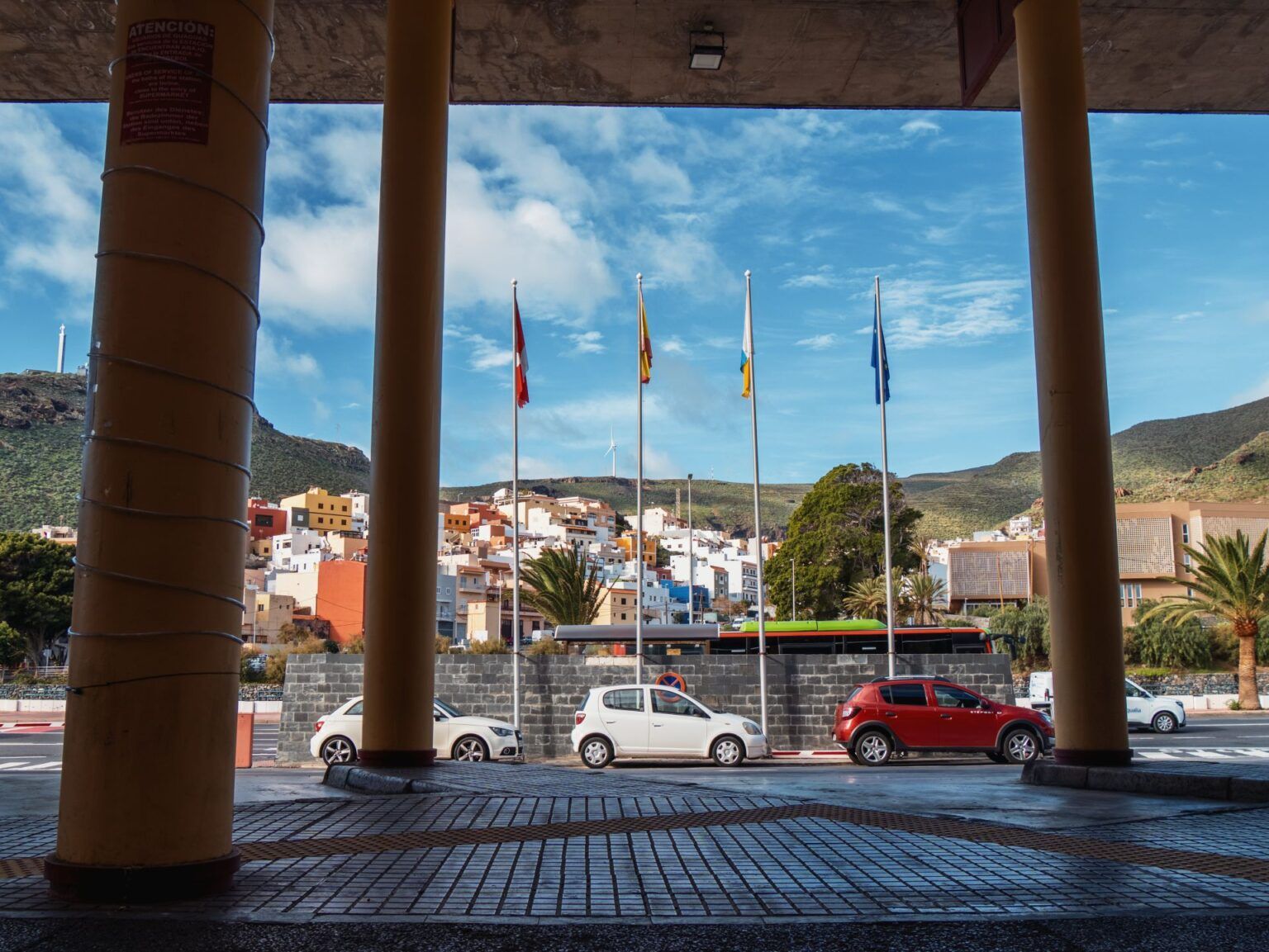
Transportation on La Gomera
At the bus station in San Sebastián
On La Gomera, you can easily get from A to B by bus at reasonable prices. While the frequency can’t quite match the service on Tenerife, and there are only fixed departure times for the respective terminal stops, the winding, narrow roads make travel times somewhat unpredictable.
The bus company is called GuaguaGomera. You can find all routes and stops on the official website. The site is only available in Spanish, but Google Translate will surely help you out.
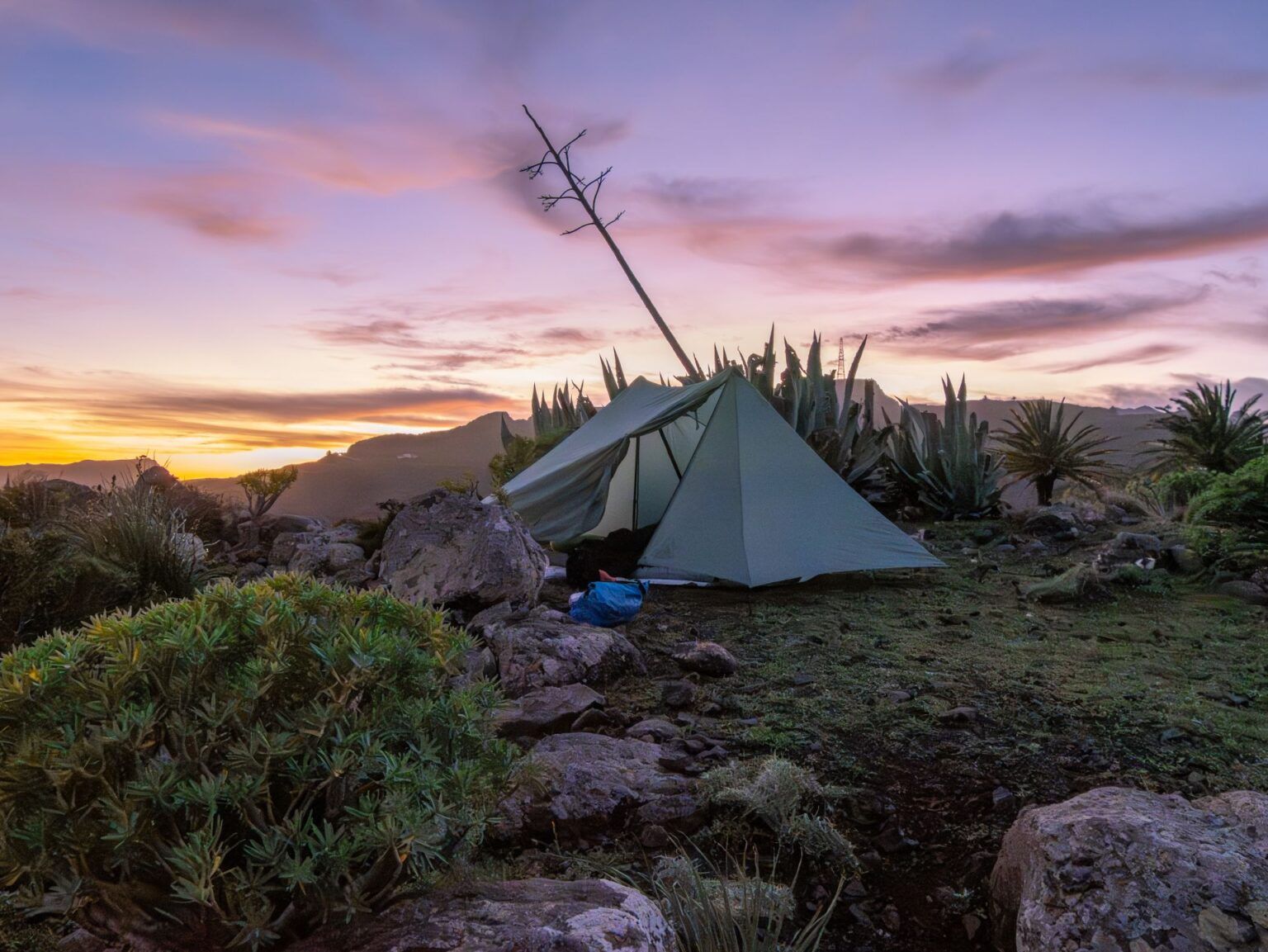
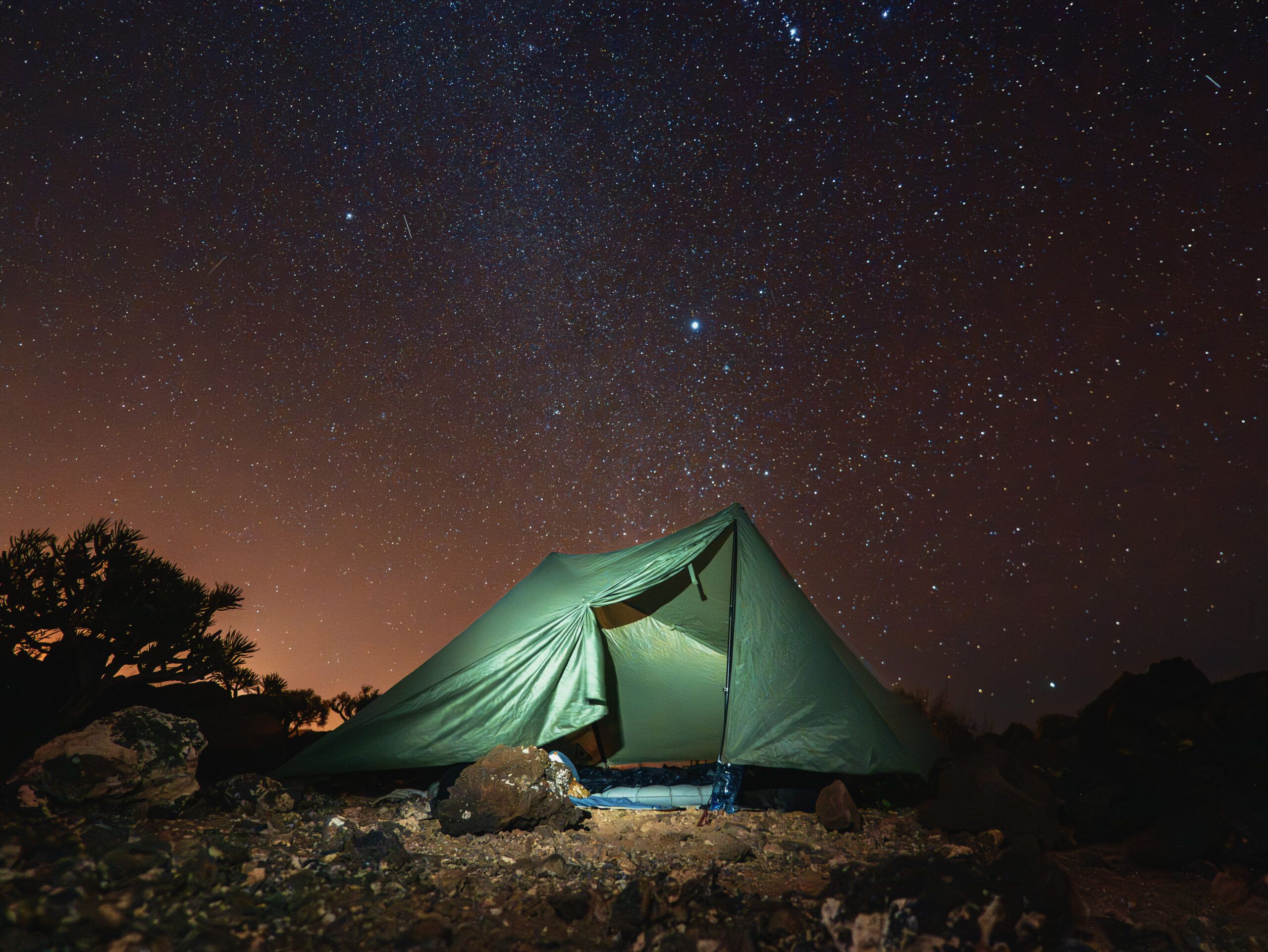
Wild camping is not officially permitted on La Gomera. In practice, however, I got the impression that many people do it and that the locals don’t mind. At one point during our hike along the GR132, we stumbled into an area where a hunt was underway, and we had to wait to continue hiking until the hunting season was over. The hunters had spotted us right after we woke up, when my parents’ tent was still even up. That wasn’t a problem at all; we just had to wait an hour and a half before we could continue on our way.
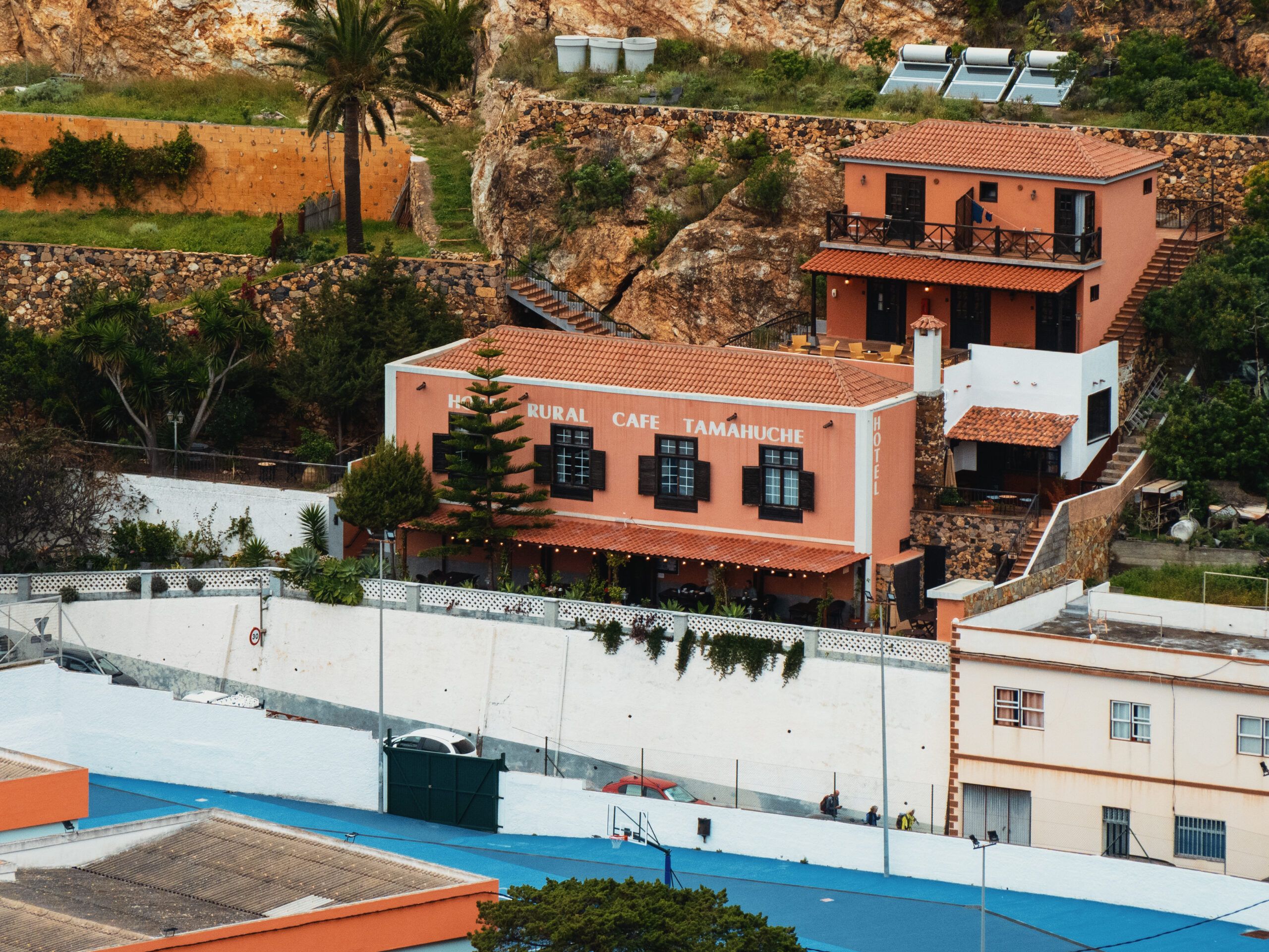
I don’t know if it always ends so smoothly, but I didn’t get the impression that enforcement is strict here. However, I avoided spending the night in the national park. From Vallehermoso, there are perhaps one or two suitable spots for a tent before you enter the park area. Instead, I opted to stay overnight in Las Hayas; you can find good rooms there via Booking. An alternative would be the Hotel Sonia in Chipude—though you’ll need to plan for a few extra kilometers and call ahead to check if there’s availability.
I’ve marked a few spots on the map where you might be able to pitch a tent if you’re willing to take the risk.
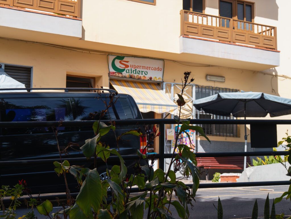
Water and Food Supplies on the GR132
Supermarket in El Chorro
If you’re hiking the GR132, you might not need to pack a water filter at all. I rarely saw water in the wild. Along the trail itself, there are plenty of small bars and supermarkets where you can stock up on water. The only water we drank along the way was from the Chorros de Epina.
The weather on La Gomera
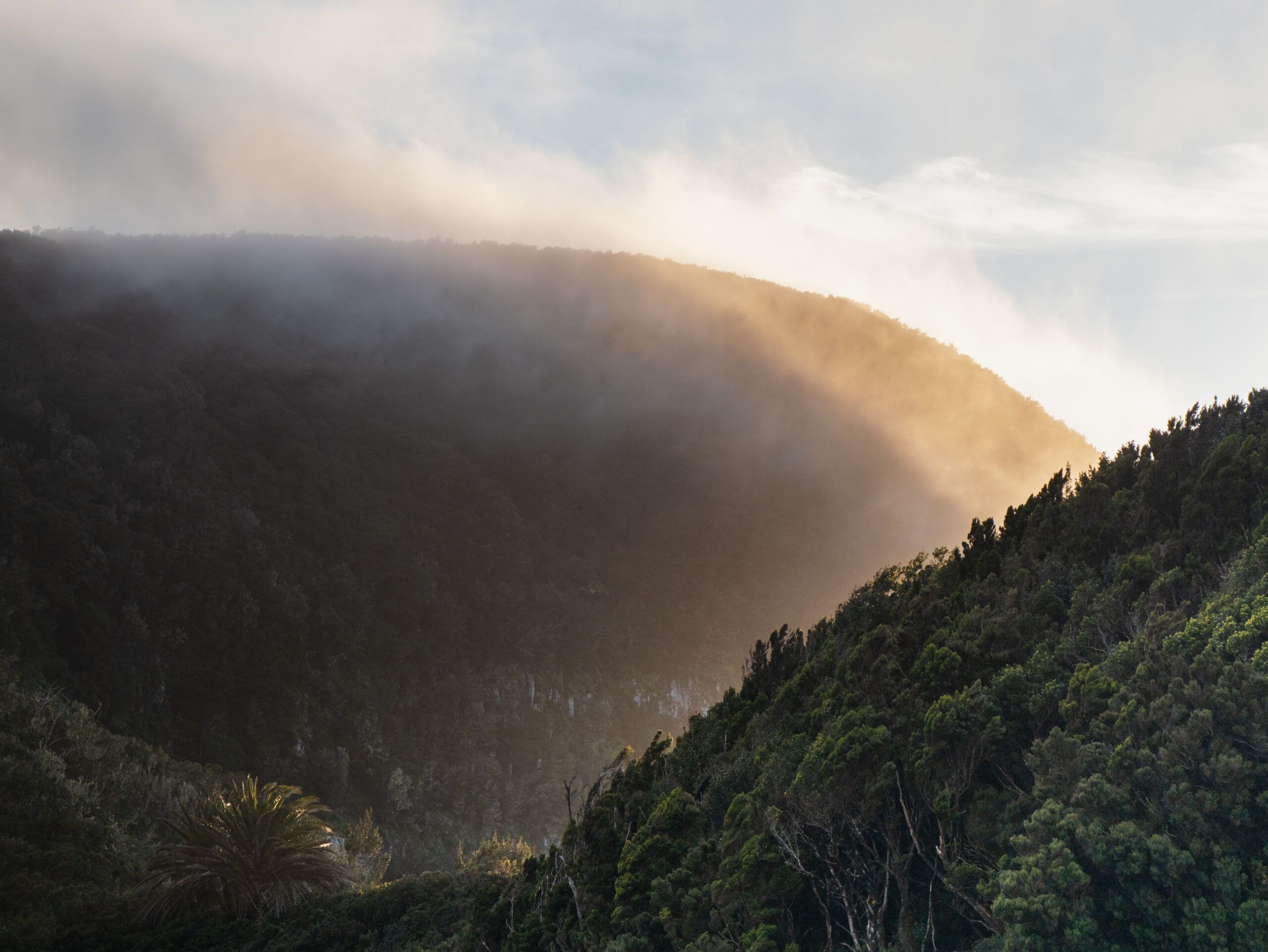
The weather on La Gomera is truly unique and is heavily influenced by the northeast trade winds. While the north is often damp and foggy (which is what makes the magical laurel forest possible), the sun often beats down relentlessly in the south and on the exposed ridges of the GR132.
According to the internet, the best time of year for the hike is spring (March to May) or fall (October to November). During these months, temperatures range from 18°C to 24°C, making them ideal for hiking. In winter, it can get quite cold at night in the higher elevations (above 1,000 m) and sometimes rain heavily, while in midsummer the heat—often intensified by the hot Saharan wind Calima—can make hiking on the barren ridges a real ordeal.
During my hike in early February, temperatures on La Gomera ranged from 10 °C to 26 °C. So you should definitely be prepared for anything and dress in layers.
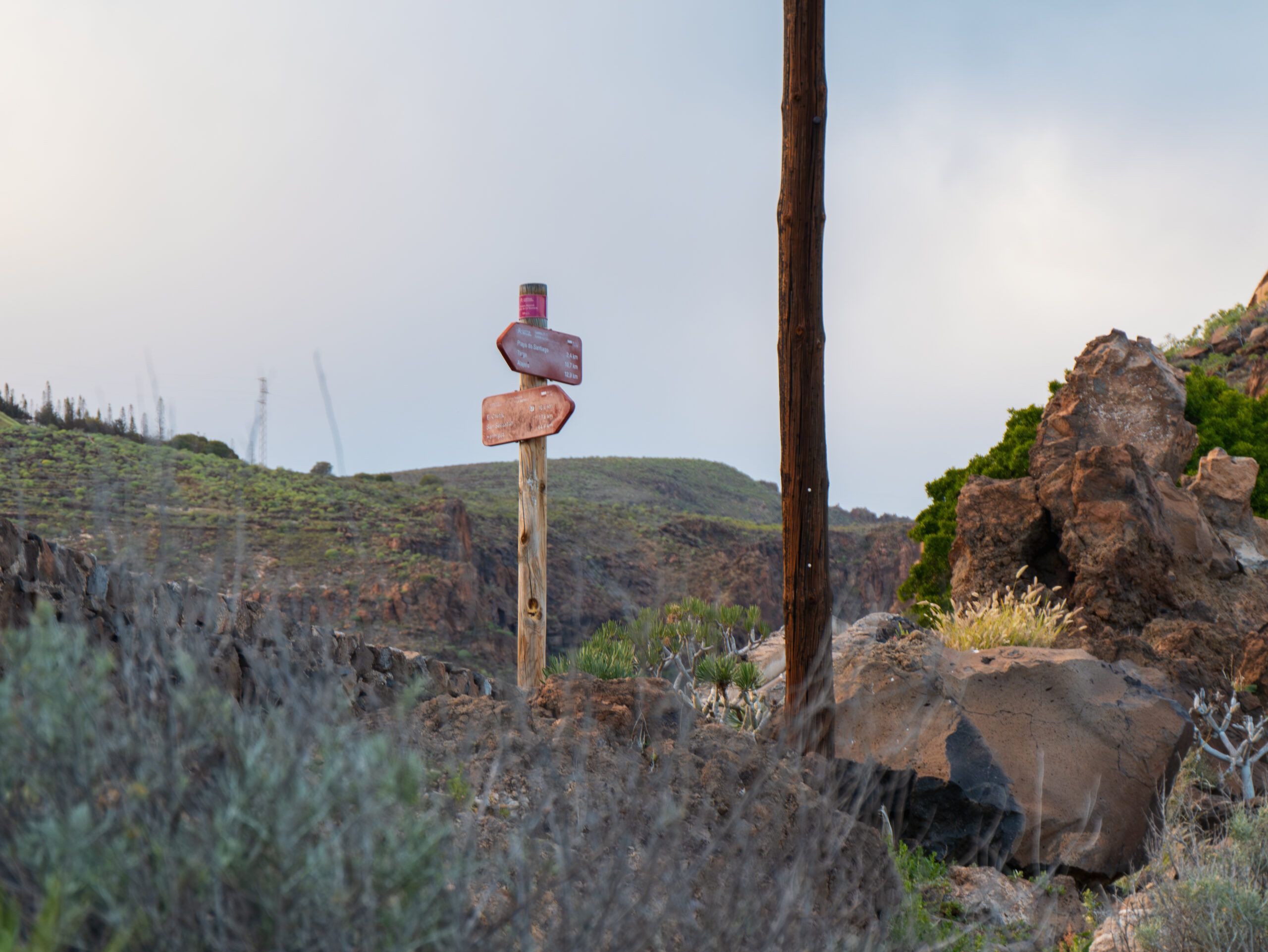
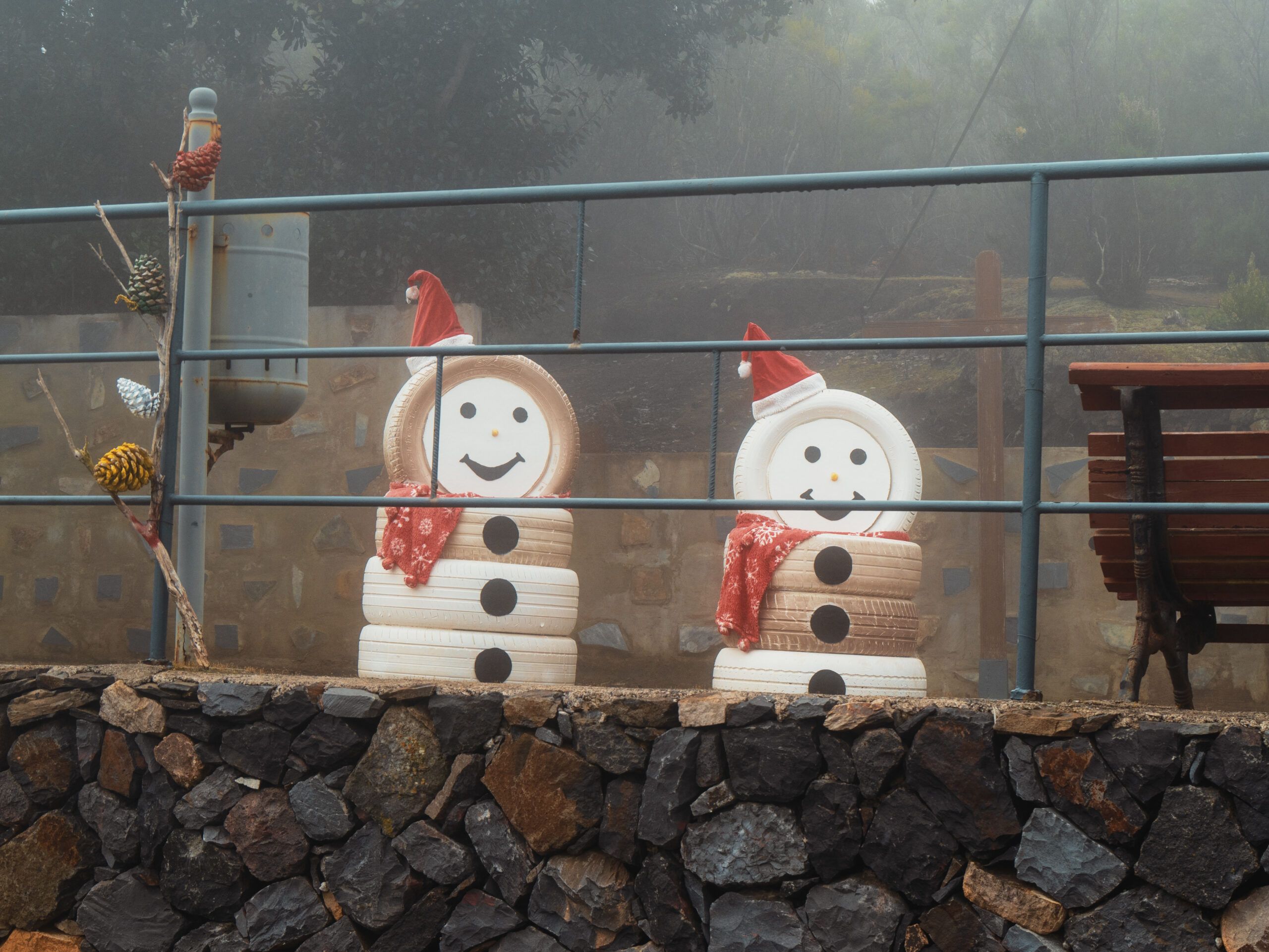
Our stages on the GR132 across La Gomera
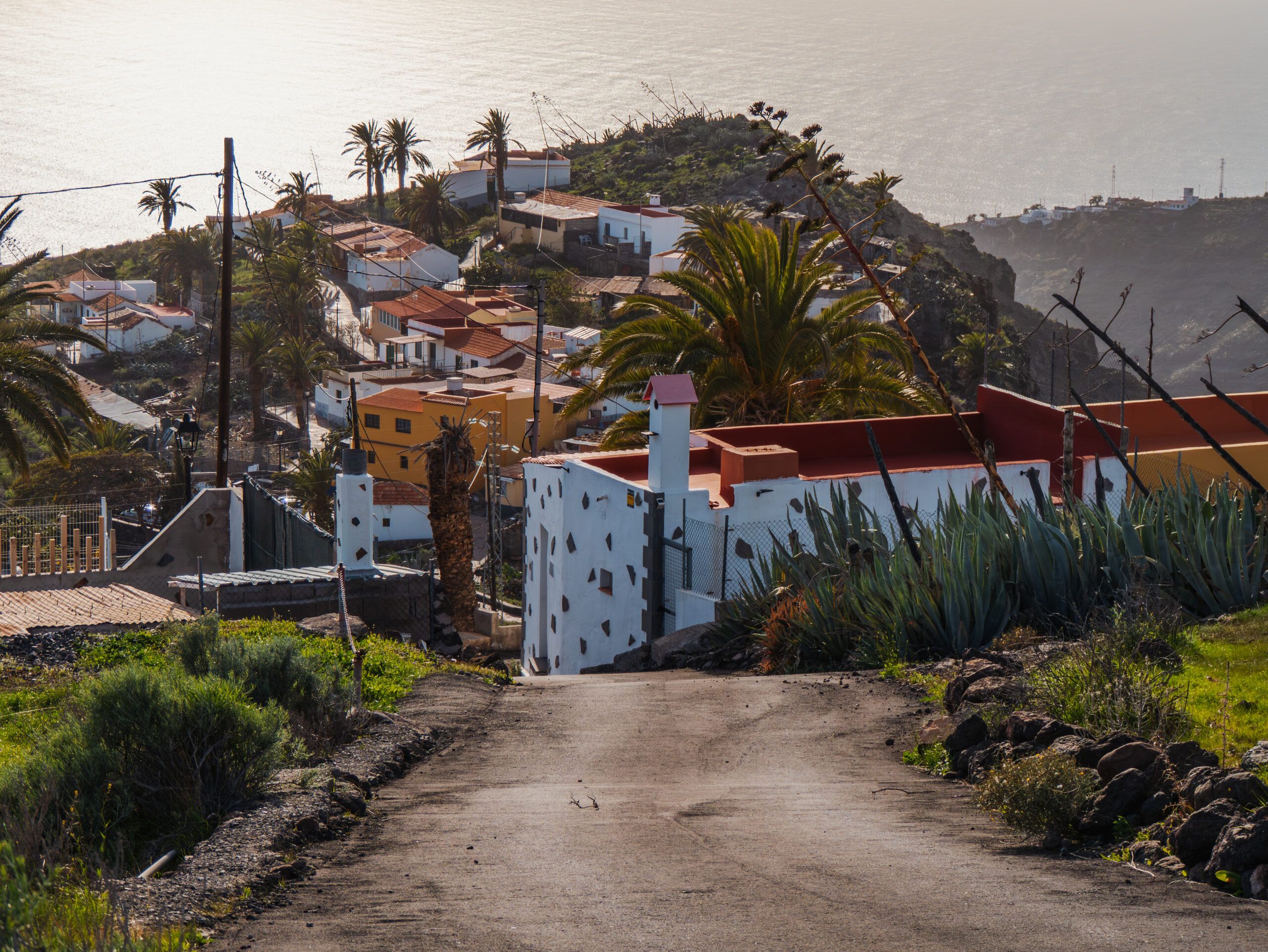
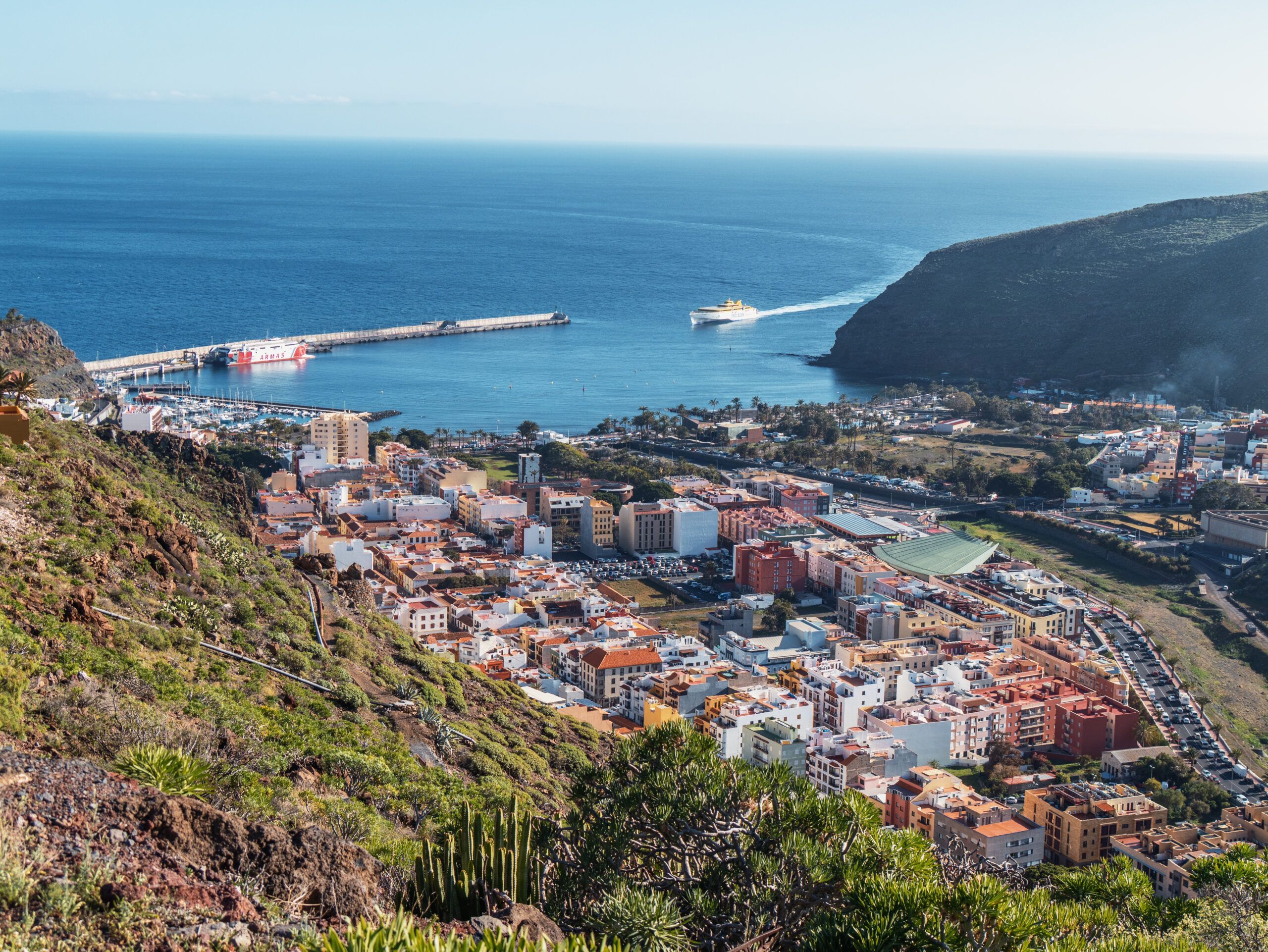
Day 1: The start in San Sebastián
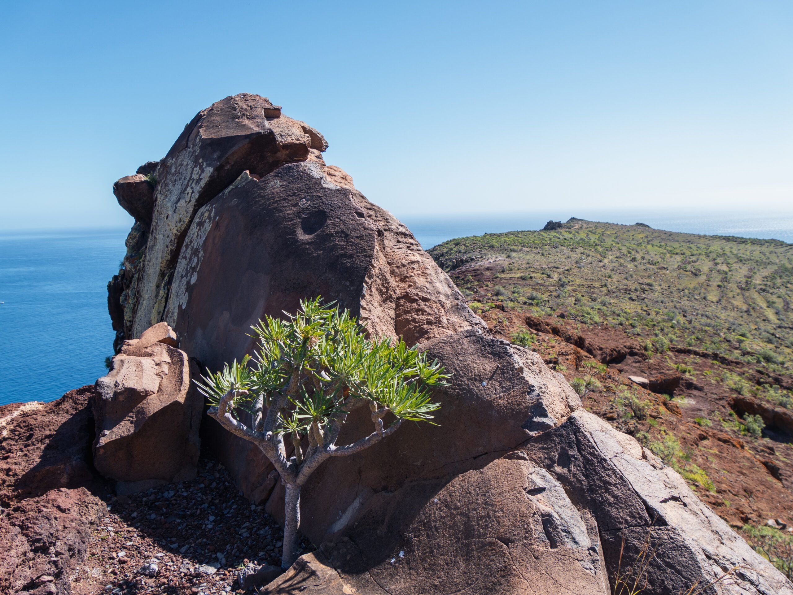
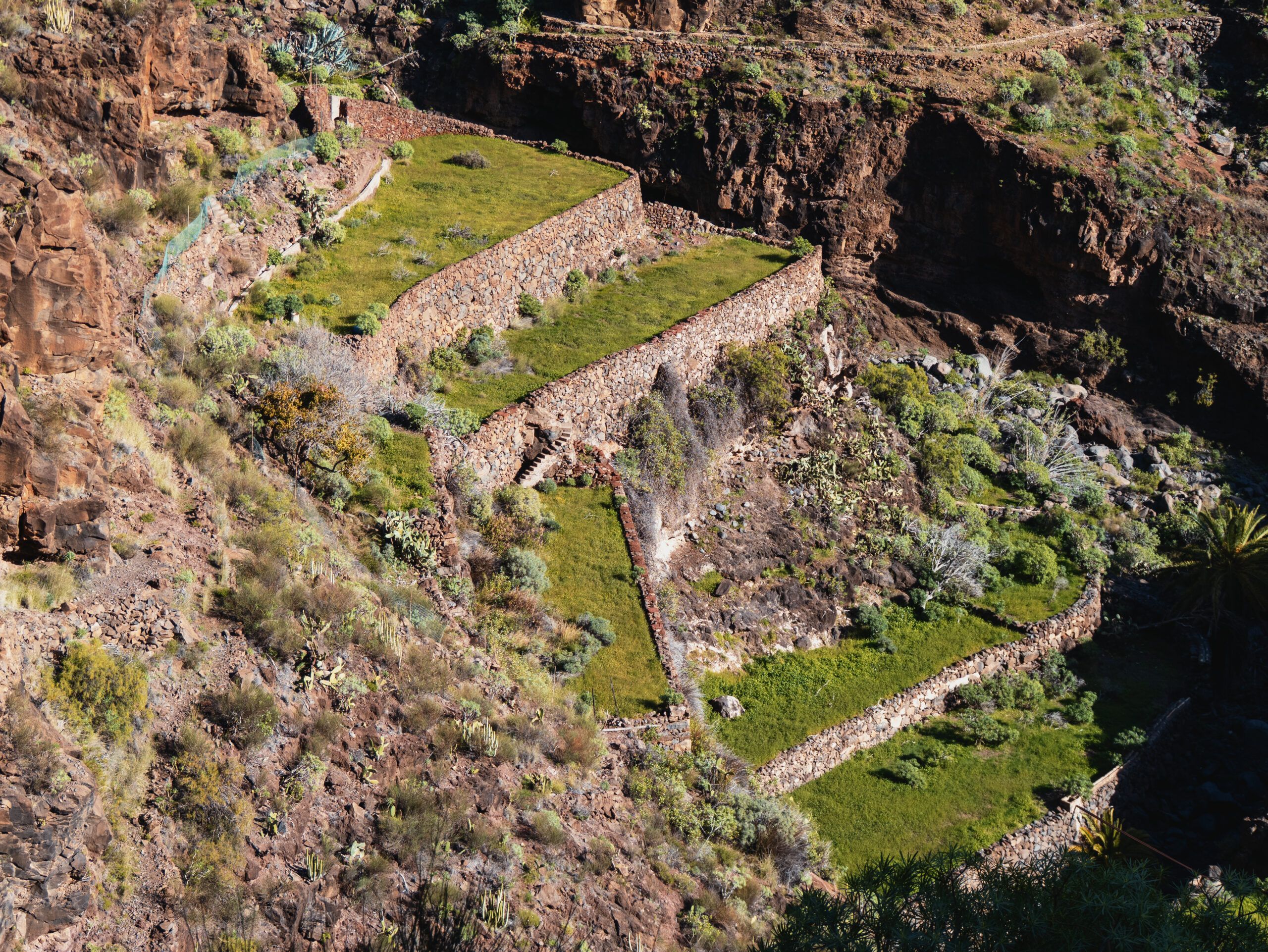
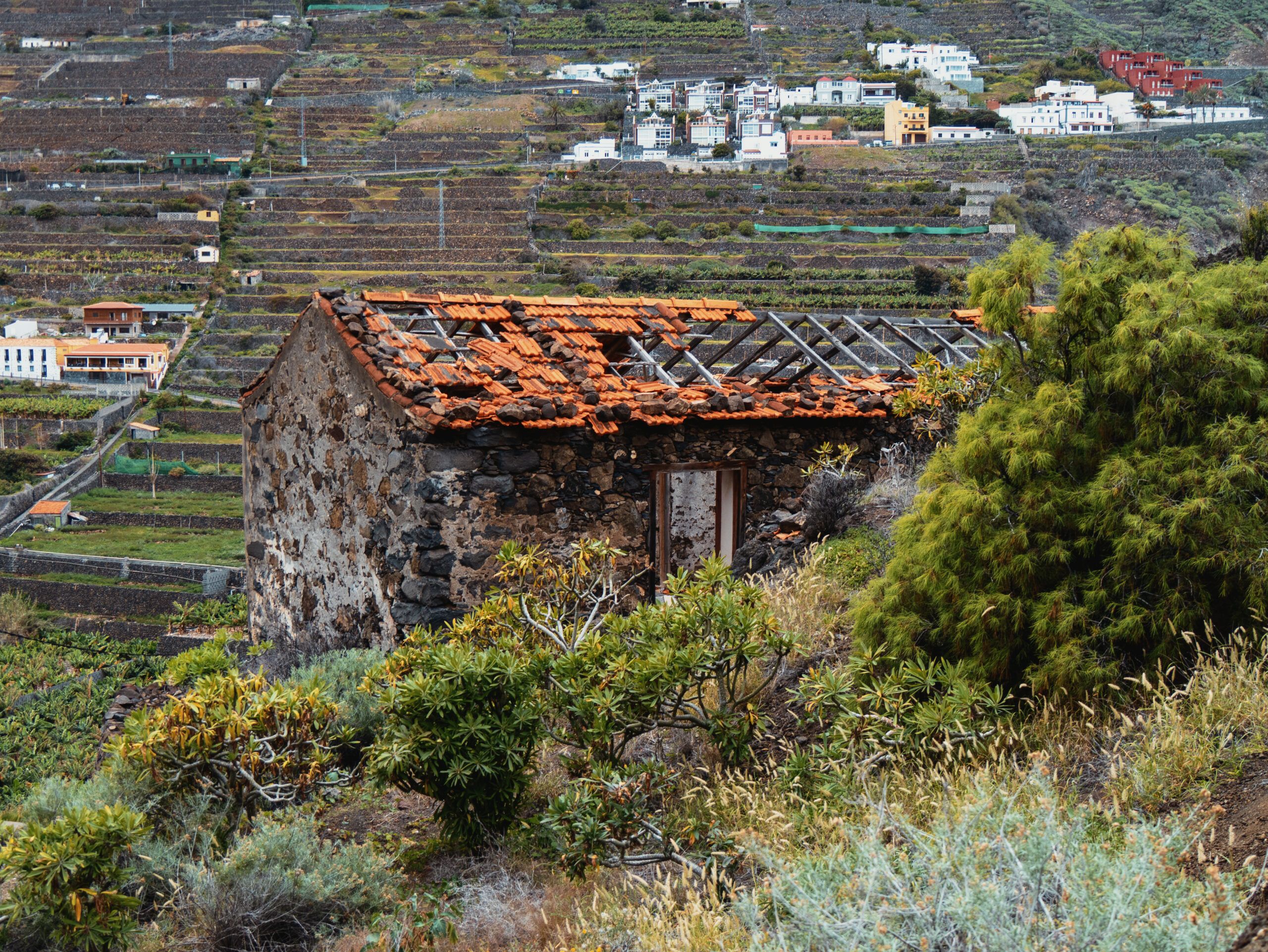
From San Sebastián, the trail led steeply uphill and then straight back downhill to the beautiful Playa de la Guancha. After just 7 km in the blazing sunshine, it became clear to us what lay ahead. The heat and the exposed trails with no shade are the biggest challenges in the south.We finally ended up at Finca el Cabrito, a hotel complex accessible only by ferry. An important tip for hikers: Even if you’re not staying there, you can buy water at the front desk—essential on this arid stretch! The subsequent climb from 13 m to 500 m is a real slog. At the top, you pass the ruins of Morales, which bear witness to the island’s declining agriculture. Cultural fact: Did you know that the Gomeros invented their own whistling language? El Silbo was used to communicate across the deep gorges up to 5 km away.
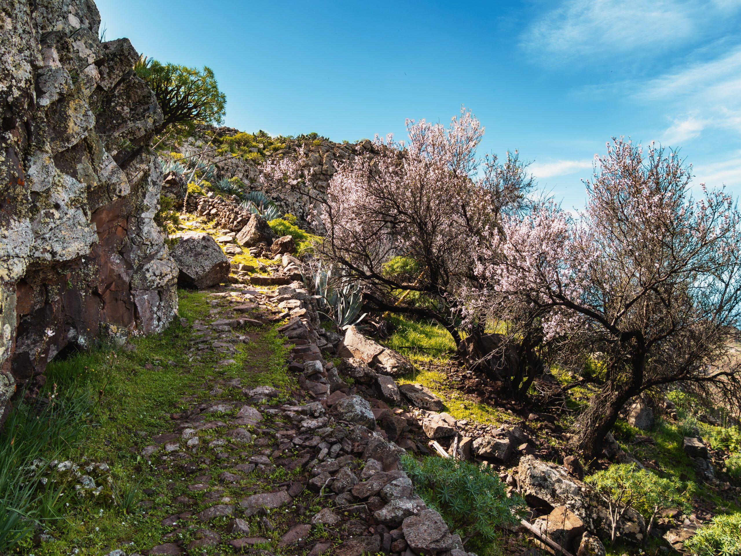
Days 2 & 3: Setbacks and Almond Blossoms
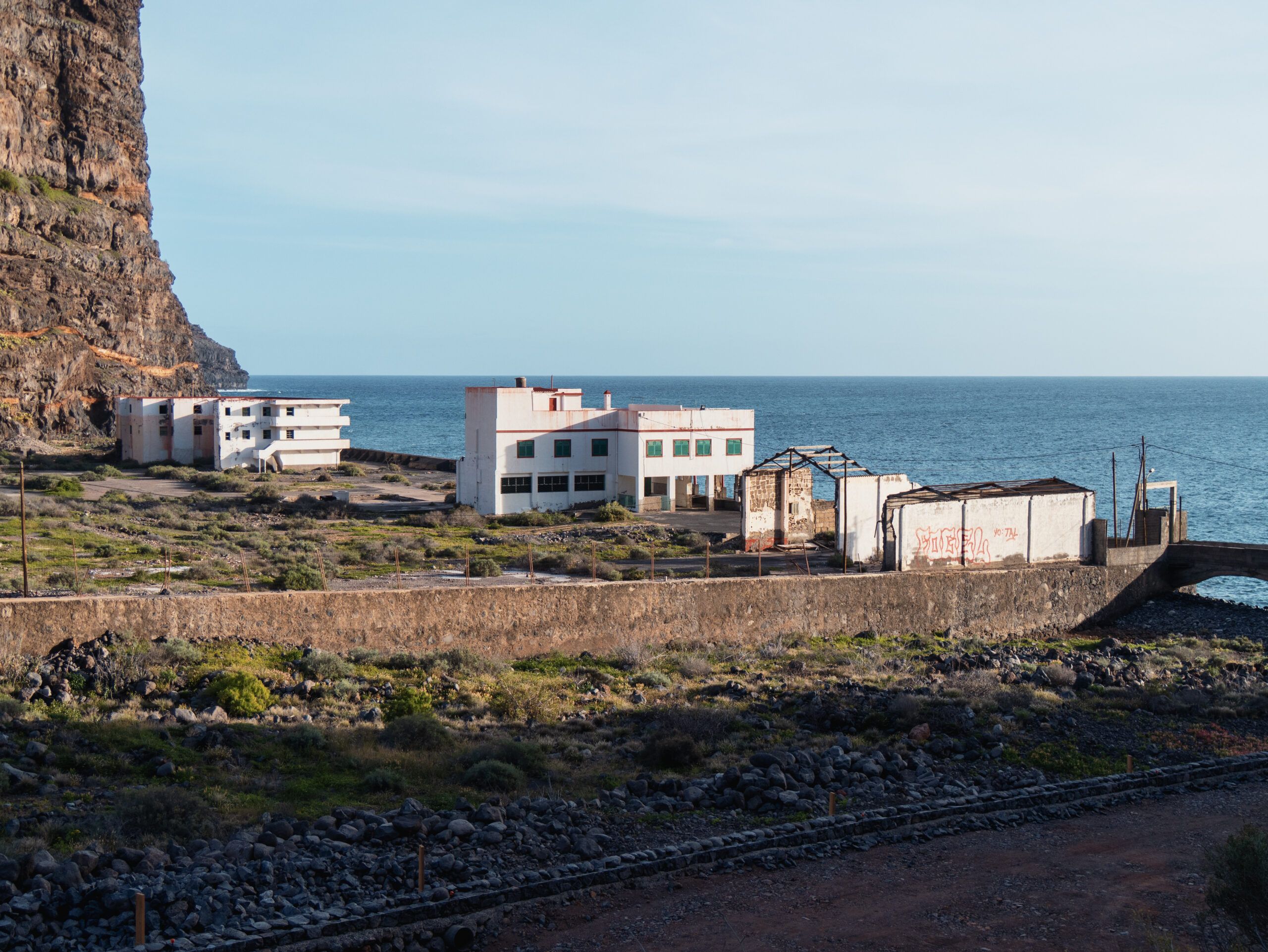
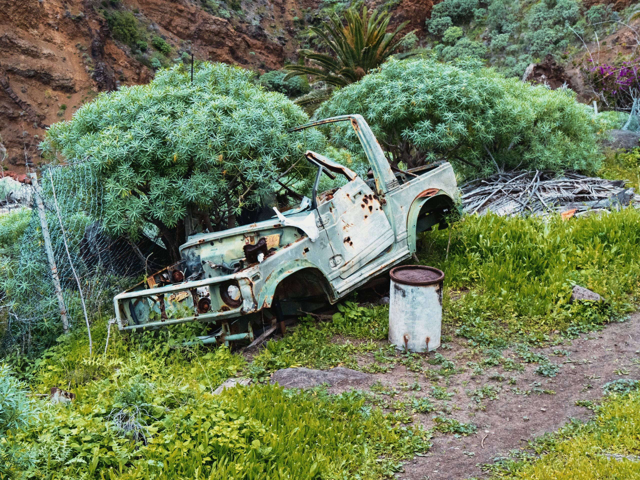
On Day 2, stomach issues and the drastic temperature difference compared to Germany threw a wrench in our plans. We had to head back to San Sebastián for a short while. In an emergency, take bus line 3, which connects Alajeró with the capital. On Day 3, we headed back out into the countryside from Alajeró. In February, the almond trees are in bloom here—a dream! The trail leads past a former canning factory (a great abandoned site) up to La Dama, where you can refill your water supplies at the bar.
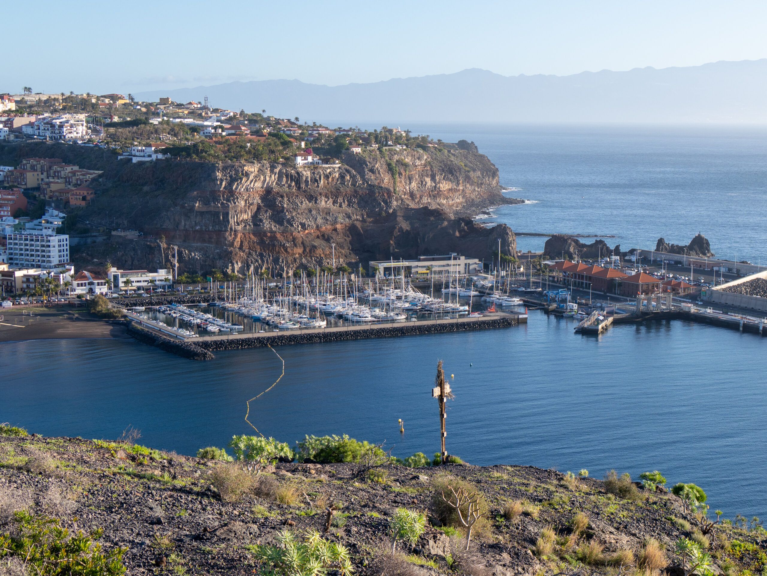
Days 4 & 5: Valle Gran Rey and the magical springs
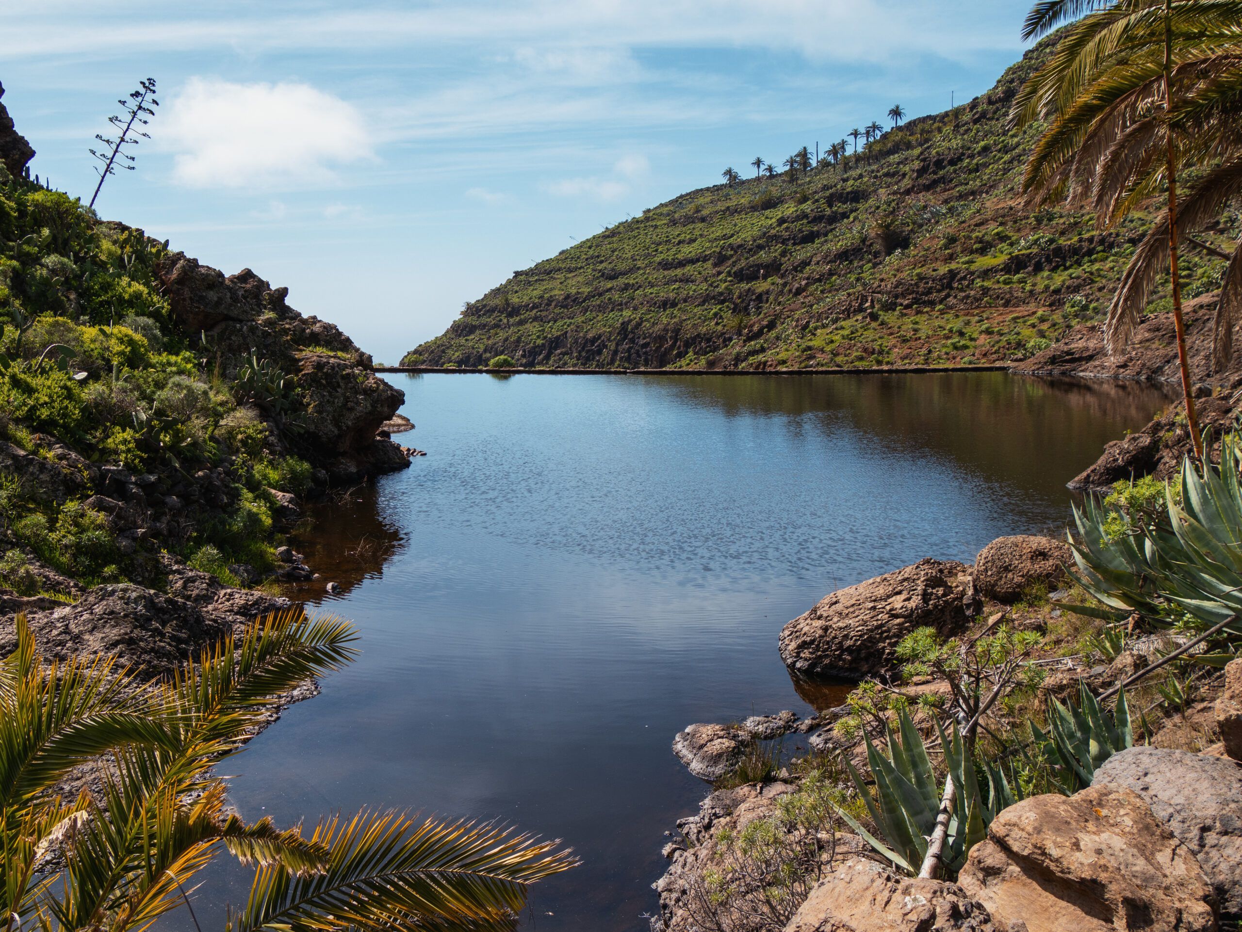
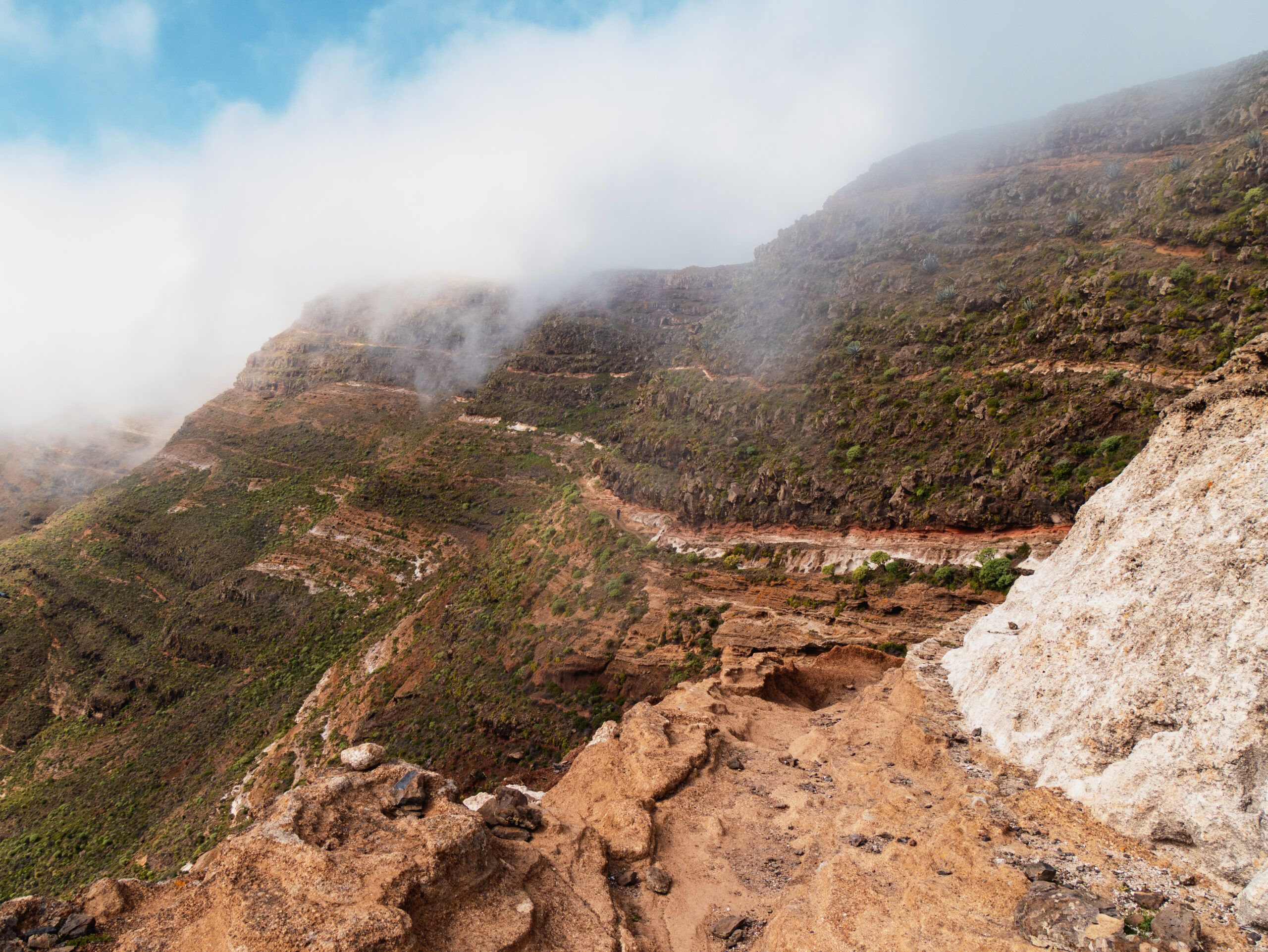
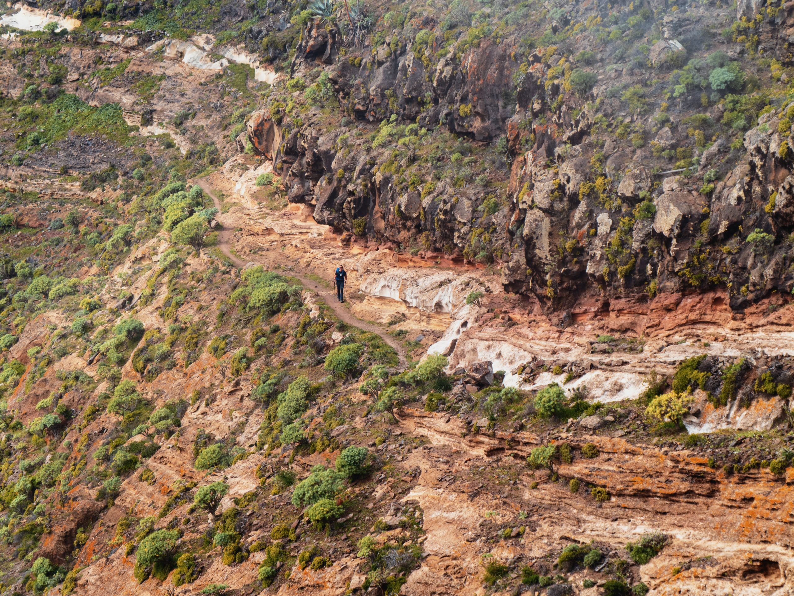
The descent into Valle Gran Rey is perhaps the second most beautiful part of the trail. The valley is famous for its hippie culture and terraced slopes. Be sure to stock up at the Spar supermarket here before you climb up to the plateau. Warning: Nights in the tent can be extremely damp here! Day 5 offered the visual highlight: the passage at the Riscos de La Mérica. The trail is very exposed in places and not for those with a severe fear of heights. You’ll be rewarded at the Chorros de Epina. These seven springs are considered magical. Legend has it that men drink from the odd-numbered pipes (counting from the left) and women from the even-numbered ones to find luck in love. By the way, the water is pH-neutral and of excellent quality.
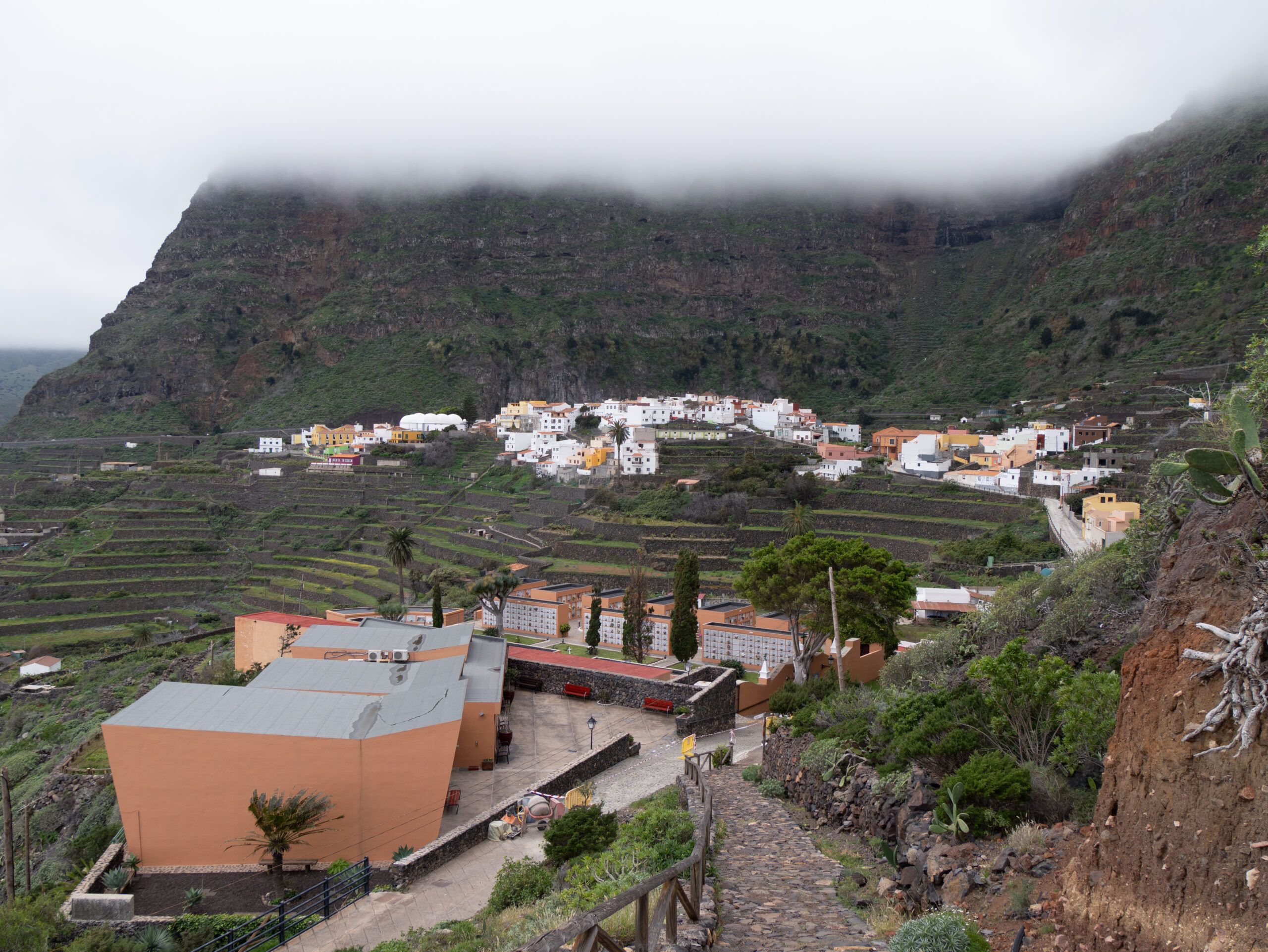
Days 6 & 7: Cloud forests and hunting dogs
The trail leads through Vallehermoso (“the beautiful valley”) to the wetter north. Here, the landscape changes drastically: from dry cactus country to mystical laurel forests. A visit to the Juego de Bolas Visitor Center is well worth it to learn more about Garajonay National Park. Important: In Hermigua, you must stock up on water for the next 30 km, as there are hardly any springs until you reach your destination! Hunting dogs are often trained in the mountains above Hermigua—don’t let the barking unsettle you; the animals are usually fenced in.
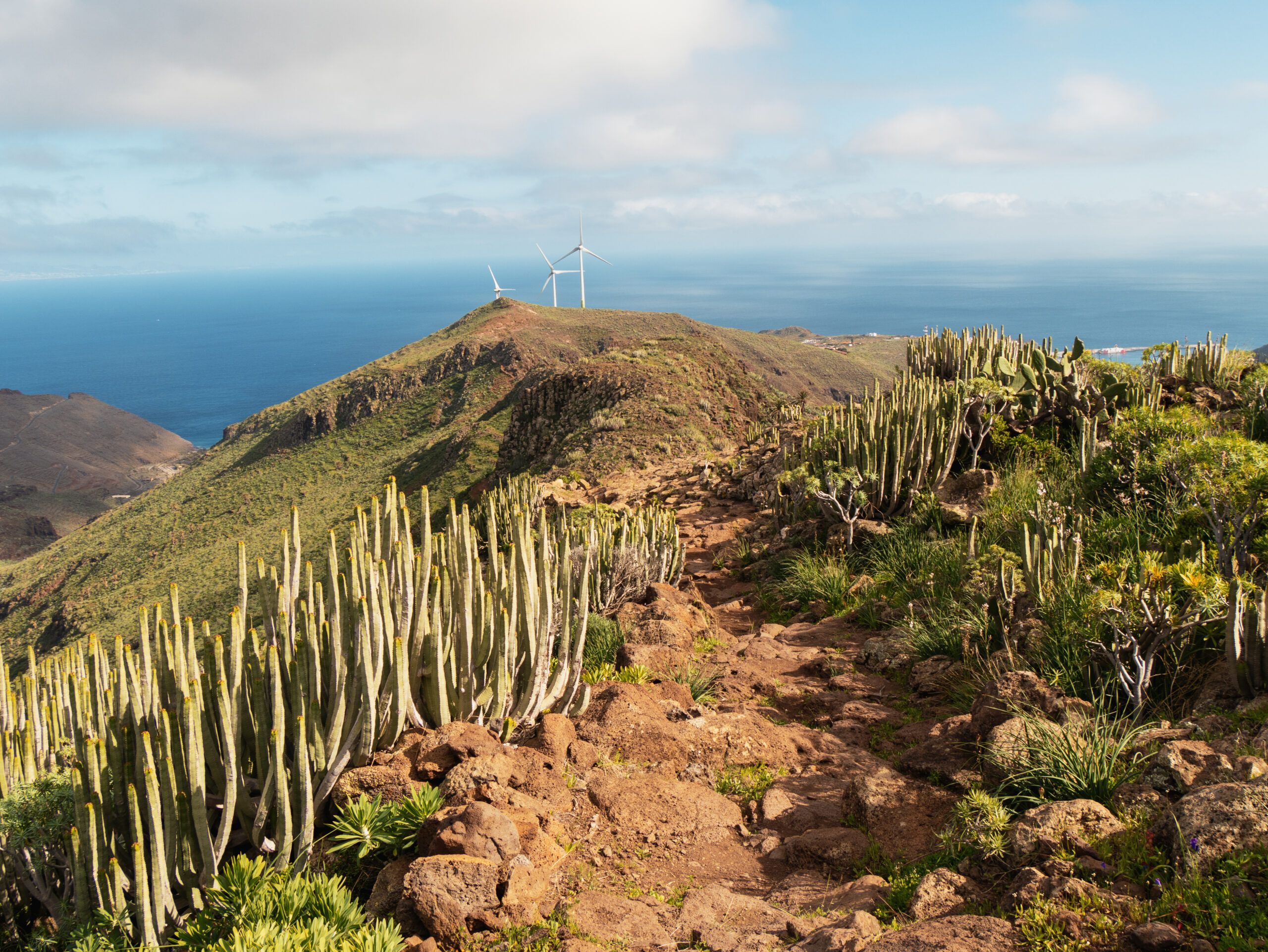
Day 8: The Grand Finale
The final day back to San Sebastián often follows wider forest trails, which is a relief for your legs after the week. Just before the finish, the trail briefly climbs a massive rock face once more before you finally catch sight of the port of San Sebastián.
Etappen
No items found
Weitere Artikel
No items found
Cookie-Zustimmung verwalten
Um dir ein optimales Erlebnis zu bieten, verwenden wir Technologien wie Cookies, um Geräteinformationen zu speichern und/oder darauf zuzugreifen. Wenn du diesen Technologien zustimmst, können wir Daten wie das Surfverhalten oder eindeutige IDs auf dieser Website verarbeiten. Wenn du deine Zustimmung nicht erteilst oder zurückziehst, können bestimmte Merkmale und Funktionen beeinträchtigt werden.
Funktional
Always active
Die technische Speicherung oder der Zugang ist unbedingt erforderlich für den rechtmäßigen Zweck, die Nutzung eines bestimmten Dienstes zu ermöglichen, der vom Teilnehmer oder Nutzer ausdrücklich gewünscht wird, oder für den alleinigen Zweck, die Übertragung einer Nachricht über ein elektronisches Kommunikationsnetz durchzuführen.
Vorlieben
Die technische Speicherung oder der Zugriff ist für den rechtmäßigen Zweck der Speicherung von Präferenzen erforderlich, die nicht vom Abonnenten oder Benutzer angefordert wurden.
Statistiken
Die technische Speicherung oder der Zugriff, der ausschließlich zu statistischen Zwecken erfolgt.Die technische Speicherung oder der Zugriff, der ausschließlich zu anonymen statistischen Zwecken verwendet wird. Ohne eine Vorladung, die freiwillige Zustimmung deines Internetdienstanbieters oder zusätzliche Aufzeichnungen von Dritten können die zu diesem Zweck gespeicherten oder abgerufenen Informationen allein in der Regel nicht dazu verwendet werden, dich zu identifizieren.
Marketing
Die technische Speicherung oder der Zugriff ist erforderlich, um Nutzerprofile zu erstellen, um Werbung zu versenden oder um den Nutzer auf einer Website oder über mehrere Websites hinweg zu ähnlichen Marketingzwecken zu verfolgen.