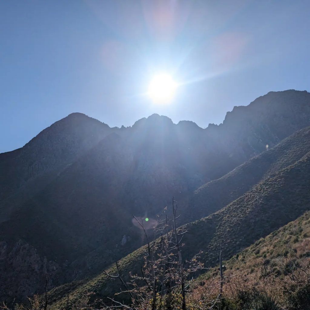
Day 21: The day began as the last one had ended. Rather leisurely, with a long sleep and a coffee after the small store opened at 7:00 am. Afterwards, however, we climbed 1700 meters in altitude over a distance of 36 km. But always with breathtaking views of the lake on one side and the mountains on the other. Towards the end, things got really adventurous again as the route was stony and sandy along the slope to a spring.
On the way, we even had a cold soft drink because someone had stocked a cool box on the side of the path for hikers.
Due to the late start, we had to search for the campsite in the dark. Which turned out to be an adventure and ended with a small detour. I think next time I’ll pitch my tent in the light again, which will save me a lot of time and frustration.
Day 22: From the rather dubious campsite, after a short time I took a dirt road that accompanied me for a very long time. You could still see the lake. It is simply huge! I can’t think of anything else.
In contrast to yesterday, most of today’s ride was downhill. As a result, today was 42 km and a bit of splashing around at Sycamore Creek, which was much needed. From there it was still under the highway and the last chance to hitchhike to the town of Payson, 30 miles away. But that was too far for me. My next destination was going to be Pine, but I had to step on the gas or I wouldn’t have enough food.
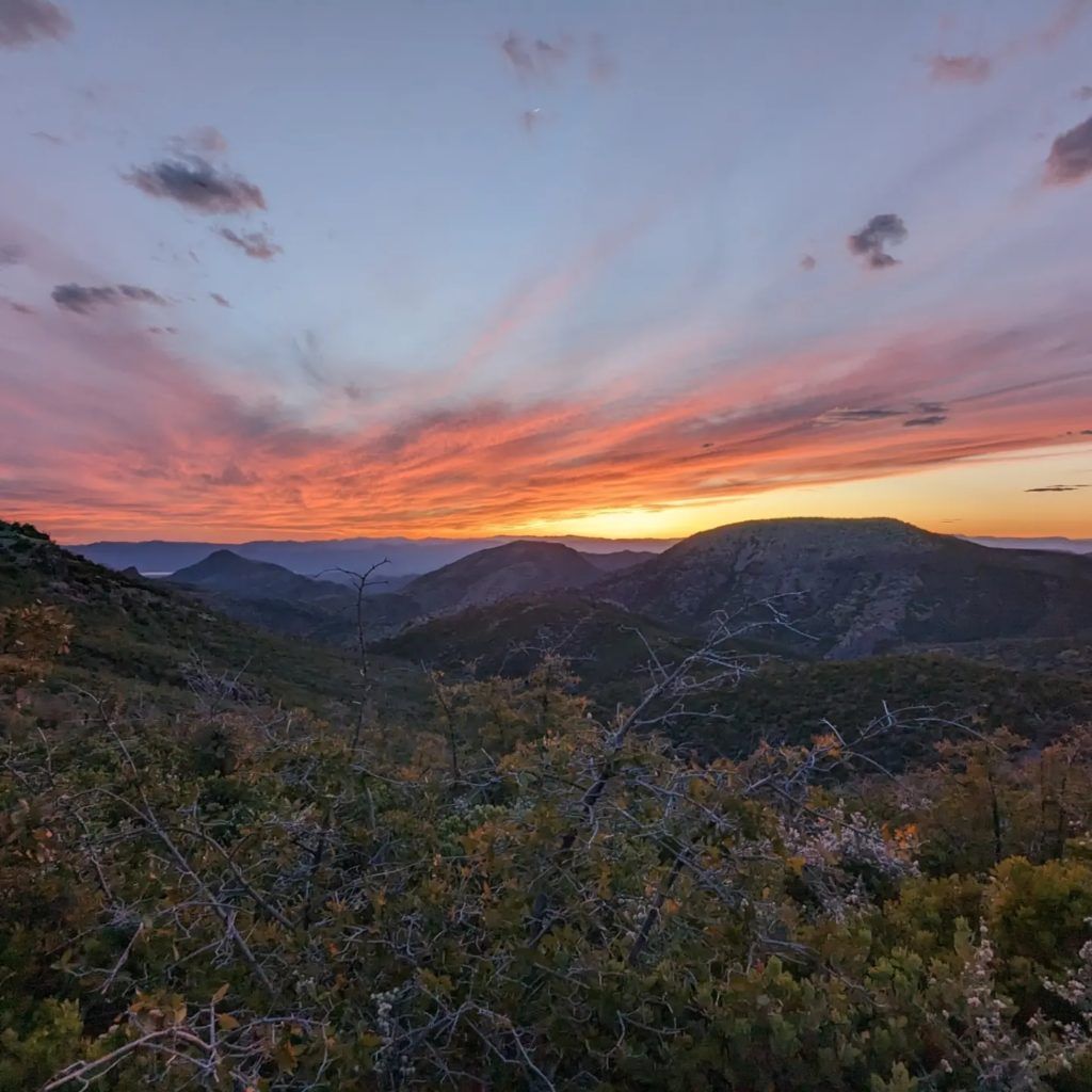
Day 23: After the previous day had been quite merciful in terms of altitude, today we had a little more to contend with. Today’s stage meandered through the mountains for just over 40 km. The three of us ended the day at Chilton Camp with wonderful views and a breathtaking night hike. Probably the worst camping spot on the whole trail. It was Saturday, which is why about 15 other campers were also there, at this muddy, insect-infested spot near a water source.
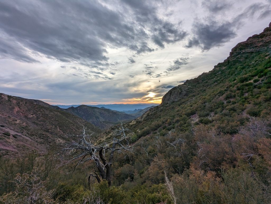
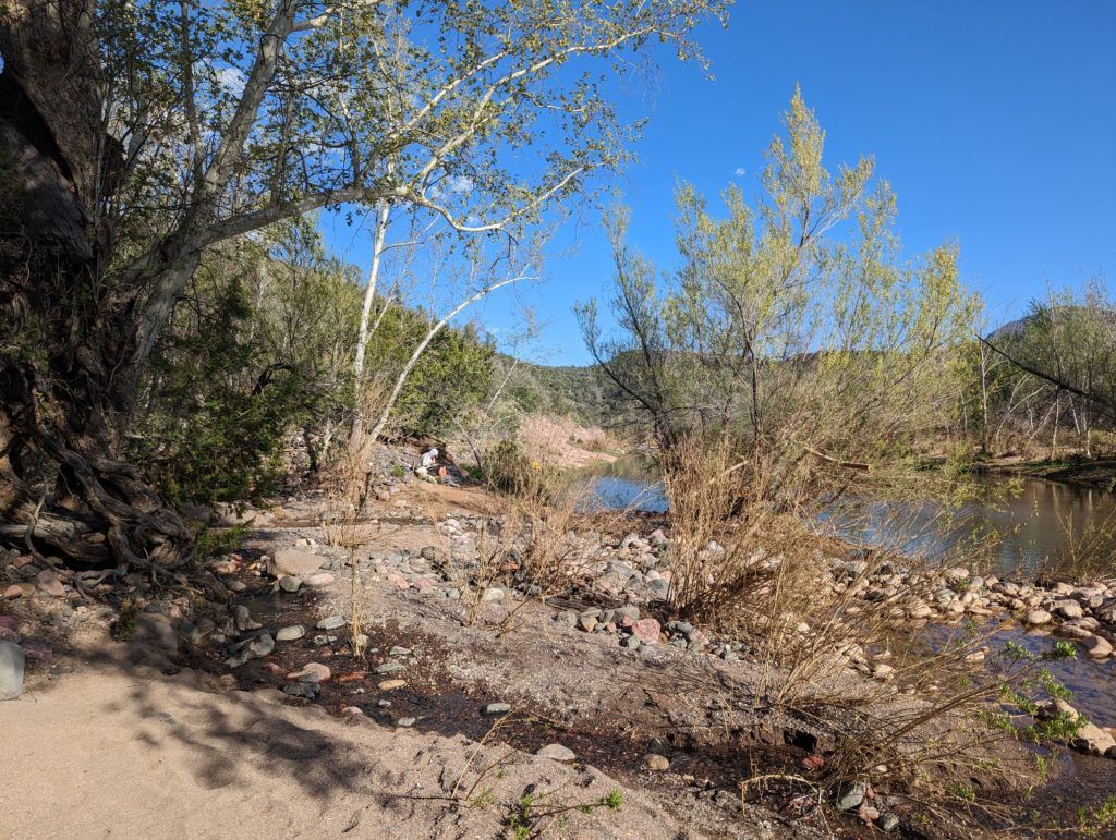
Day 24: Today we had planned to hike 30 miles. So at least 48 km! And that despite the considerable 1700 meters of altitude. The alarm clock rang at 4:30 am so that we could be ready to go at 5 am. The whole day was difficult for me today. My feet were aching and I hadn’t slept well. I didn’t really appreciate the landscape, nor did I take many photos. To be honest, I really suffered for the first 20 miles, it just wasn’t my day. I’m sure it was also because I had hardly any food left.
At mile 20 we had to cross the East Verde River, which was at least a little over knee-deep. We took advantage of this for a quick dip. After that, the remaining 10 miles were a lot easier for me, although by the end of the day I had even covered a few more miles. This day only ended at 10:30 pm.
Day 25: From the rocky sleeping area, we hiked the last 16 km on very rocky paths to the highway that leads to Pine. The three of us booked an Airbnb in Pine. There was no hotel on site. Apart from that, Pine is a cute little town with a brewery, a small supermarket and delicious coffee. So it was the perfect place to spend the rest of this day and the next.
Um dir ein optimales Erlebnis zu bieten, verwenden wir Technologien wie Cookies, um Geräteinformationen zu speichern und/oder darauf zuzugreifen. Wenn du diesen Technologien zustimmst, können wir Daten wie das Surfverhalten oder eindeutige IDs auf dieser Website verarbeiten. Wenn du deine Zustimmung nicht erteilst oder zurückziehst, können bestimmte Merkmale und Funktionen beeinträchtigt werden.
Funktional
Always active
Die technische Speicherung oder der Zugang ist unbedingt erforderlich für den rechtmäßigen Zweck, die Nutzung eines bestimmten Dienstes zu ermöglichen, der vom Teilnehmer oder Nutzer ausdrücklich gewünscht wird, oder für den alleinigen Zweck, die Übertragung einer Nachricht über ein elektronisches Kommunikationsnetz durchzuführen.
Vorlieben
Die technische Speicherung oder der Zugriff ist für den rechtmäßigen Zweck der Speicherung von Präferenzen erforderlich, die nicht vom Abonnenten oder Benutzer angefordert wurden.
Statistiken
Die technische Speicherung oder der Zugriff, der ausschließlich zu statistischen Zwecken erfolgt.Die technische Speicherung oder der Zugriff, der ausschließlich zu anonymen statistischen Zwecken verwendet wird. Ohne eine Vorladung, die freiwillige Zustimmung deines Internetdienstanbieters oder zusätzliche Aufzeichnungen von Dritten können die zu diesem Zweck gespeicherten oder abgerufenen Informationen allein in der Regel nicht dazu verwendet werden, dich zu identifizieren.
Marketing
Die technische Speicherung oder der Zugriff ist erforderlich, um Nutzerprofile zu erstellen, um Werbung zu versenden oder um den Nutzer auf einer Website oder über mehrere Websites hinweg zu ähnlichen Marketingzwecken zu verfolgen.