
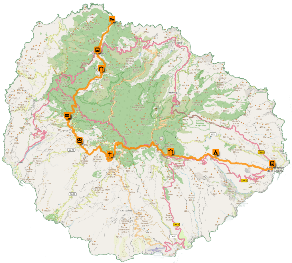
The GR131 on La Gomera is quite the challenge: Although it’s only 45 kilometers long, it climbs a staggering 2,500 meters in elevation. Divided into three official stages, it runs from Playa de Vallehermoso to San Sebastián, passing through the heart of the island: Garajonay National Park, which, with its mystical laurel forests, gives you the feeling of being in a primeval forest.
General Information About the GR131
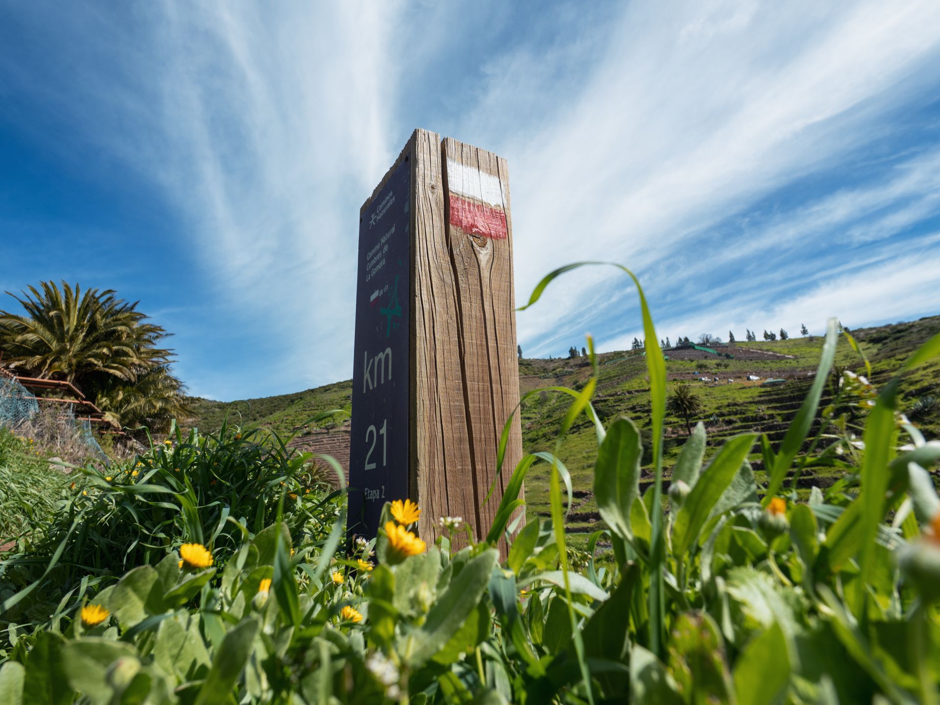
The GR131 doesn’t just run through La Gomera; it stretches across all seven main islands of the Canary Islands. As part of the European long-distance hiking trail E7, it connects the diverse landscapes of the archipelago from Lanzarote in the east to El Hierro in the west.
Each island has its own unique character: While on Lanzarote and Fuerteventura you hike through vast volcanic deserts and dunes, on the western islands—such as La Palma, Tenerife, and La Gomera—the trail winds through dense pine and laurel forests and over alpine mountain ridges. Those who hike the entire GR131 experience the full geological and climatic diversity of the Canary Islands—connected by regular ferry crossings between the stages.
Details for the entire GR131
- Total length: Approx. 560 km (spread across all the islands).
- Markings: The typical red-and-white markings of European long-distance hiking trails.
- Highest point: On Tenerife, the trail leads near the Teide massif to an elevation of over 2,000 m.
Details for the GR131 on La Gomera
- Length: approx. 45 kilometers
- Elevation gain: approx. 2,500 m
- Stages: 3 (official division)
- Route: Playa de Vallehermoso ➔ San Sebastián
In this article, however, I’ll focus exclusively on my experiences on the section of the trail on La Gomera that cuts right through the heart of the island.
Transportation on La Gomera
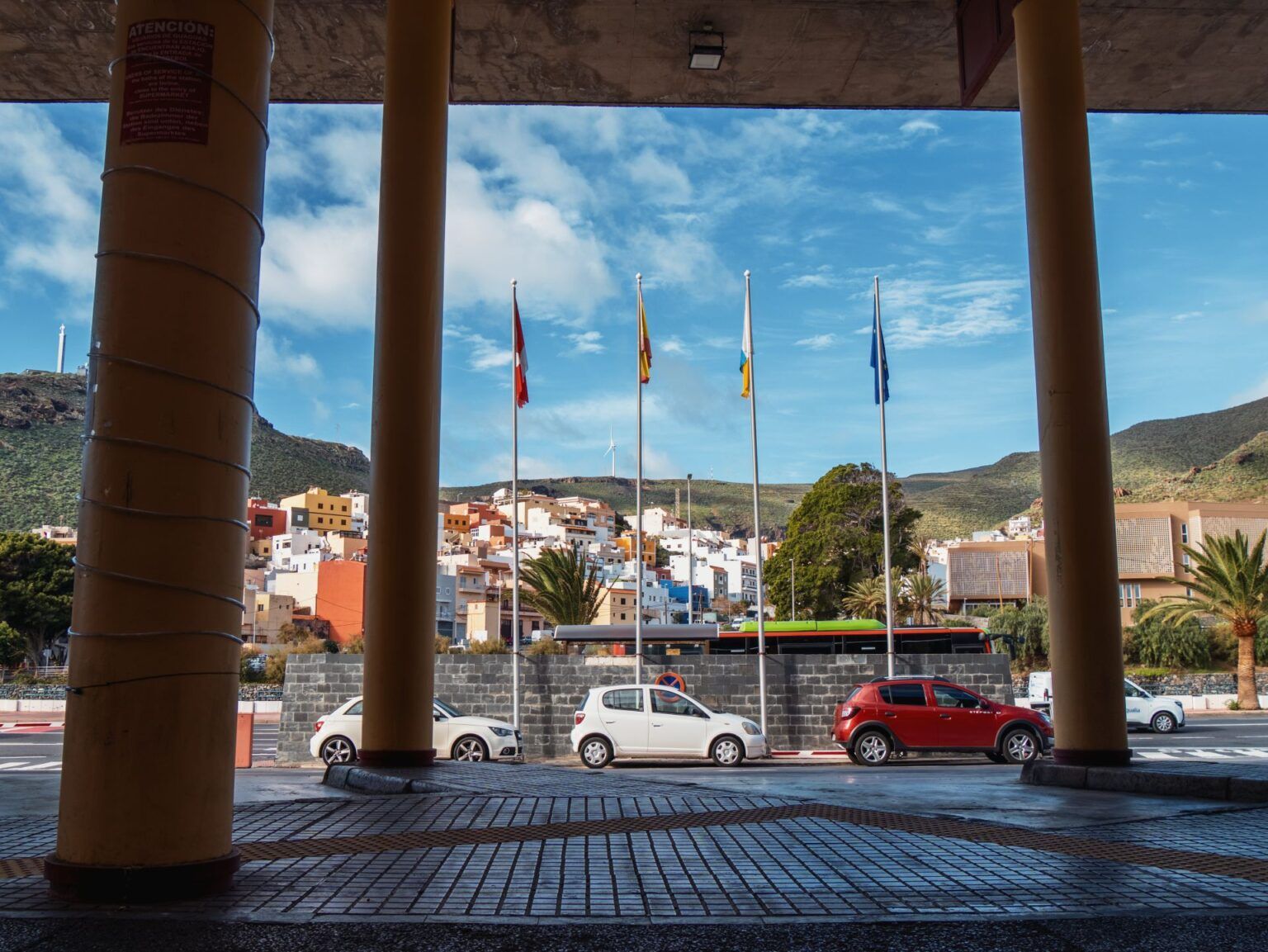
On La Gomera, you can easily get from A to B by bus at reasonable prices. While the frequency can’t quite keep up with the service on Tenerife, and there are only fixed departure times for the respective terminal stops, the winding, narrow roads make travel times somewhat unpredictable.
The bus company is called GuaguaGomera. You can find all routes and stops on the official website. Although the site is only available in Spanish, Google Translate will surely come in handy here.
The most interesting route for the GR131 is the one between San Sebastián and Vallehermoso (Line 1). In February 2026, the fare was €4.50 and the trip took about 1.5 hours.
Accommodations along the GR131
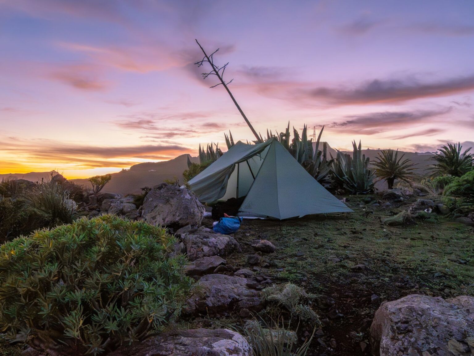
Wild camping is not officially permitted on La Gomera. In practice, however, I got the impression that many people do it and that the locals don’t mind. At one point during our hike along the GR132, we stumbled into an area where a hunt was taking place, and we had to wait to continue until the hunting season was over. The hunters had spotted us right after we got up, when my parents’ tent was still even set up. That wasn’t a problem at all; we just had to wait an hour and a half before we could continue on our way.
I don’t know if it always turns out so smoothly, but I didn’t get the impression that they enforce the rules strictly here. However, I avoided spending the night in the national park. From Vallehermoso, there are perhaps one or two suitable spots to pitch a tent before entering the park. Instead, I decided to spend the night in Las Hayas; you can find good rooms there on Booking. An alternative would be the Hotel Sonia in Chipude—though you’ll need to plan for a few extra kilometers and call ahead to see if there’s availability.
I’ve marked a few spots on the map where you might be able to pitch a tent if you’re willing to take the risk.
Water and Food Supplies on the GR131
If you’re hiking the GR131, you might not even need to pack a water filter. I think I only saw water in the wild once during the entire trip. In the starting points of San Sebastián and Vallehermoso, you can easily stock up on everything you need.
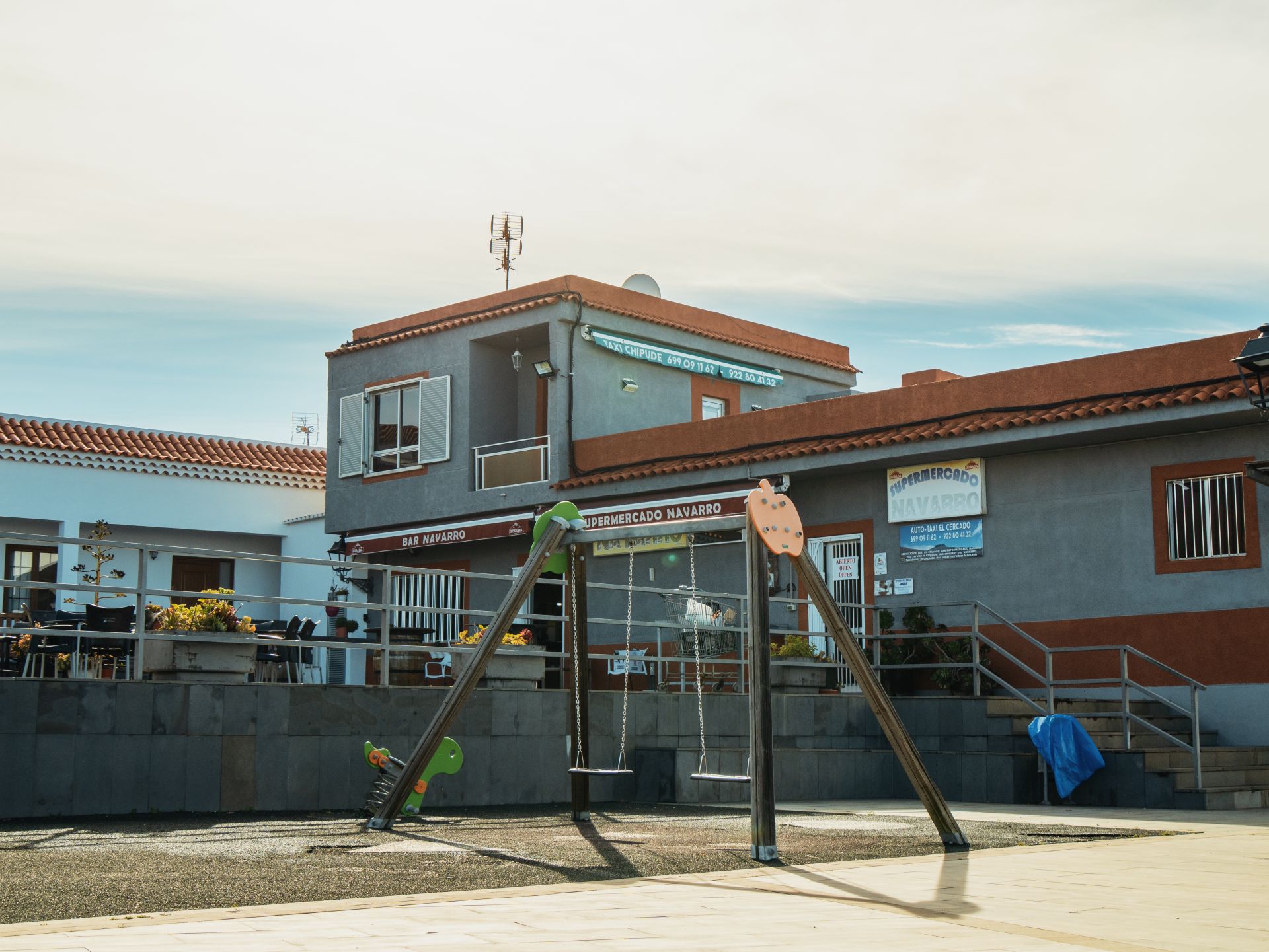
Along the trail itself, there’s a small supermarket in Chipude (marked on the map) right next to the Hotel Sonia. Here you can find water or an ice cream if the sun is beating down too hard on your head. Otherwise, options are rather limited: In Las Hayas, you can grab a bite to eat at one of the two restaurants and buy bottled water, but that’s about it. As far as I know, the other towns don’t offer any opportunities to restock.
There’s also a rest area along the trail with barbecue pits (Laguna Grande or Pajarito—depending on which one you mean). You’ll find a restroom and water there as well. However, the water is explicitly not marked as drinking water. I bought enough supplies in Chipude to get me to San Sebastián. Given the temperatures, the weight does add up quite a bit, but it’s definitely doable.
The Weather on La Gomera
The weather on La Gomera is truly unique and is strongly influenced by the northeast trade winds. While it’s often damp and foggy in the north (which is what makes the magical laurel forest possible in the first place), the sun often beats down relentlessly in the south and on the exposed ridges of the GR131.
According to the internet, the best time of year for the hike is spring (March through May) or fall (October through November). During these months, temperatures range from 18 °C to 24 °C, making them ideal for hiking. In winter, it can get quite cold at night at higher elevations (above 1,000 m) and sometimes rain heavily, while in midsummer the heat—often intensified by the hot Saharan wind known as the Calima—can make hiking on the barren ridges a real ordeal.
During my hike in early February, temperatures on La Gomera ranged from 10 °C to 26 °C. So you should definitely be prepared for anything and dress in layers.
My Stages on the GR131 Across La Gomera
Day 1: A Rainy Start and Steep Climbs
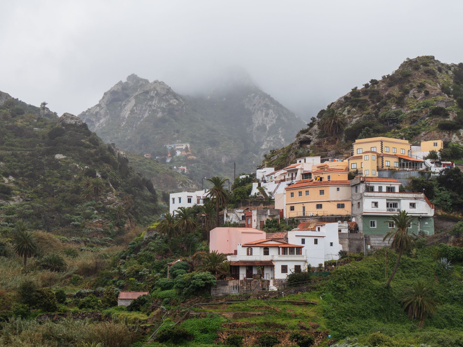
For me, it all began in San Sebastián—under bright sunshine at the bus station. But even during the one-and-a-half-hour bus ride to Vallehermoso, I could see how quickly the weather was changing. My arrival at the starting point? Pouring rain.
After waiting briefly in a doorway for the weather to improve, my impatience got the better of me, and I set off. There were so many meters of elevation gain on the agenda today anyway that I wouldn’t have stayed dry for long from the inside out. Already on the first steep streets leading out of town, I regretted my rather inactive winter months. Except for a few short sections, the route was almost exclusively a steep climb.
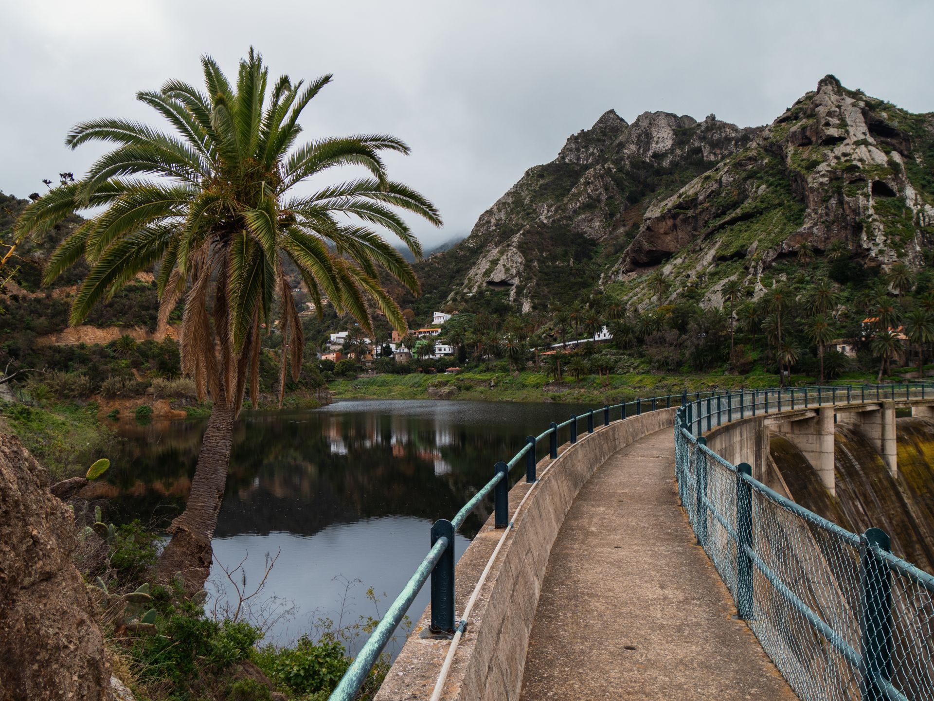
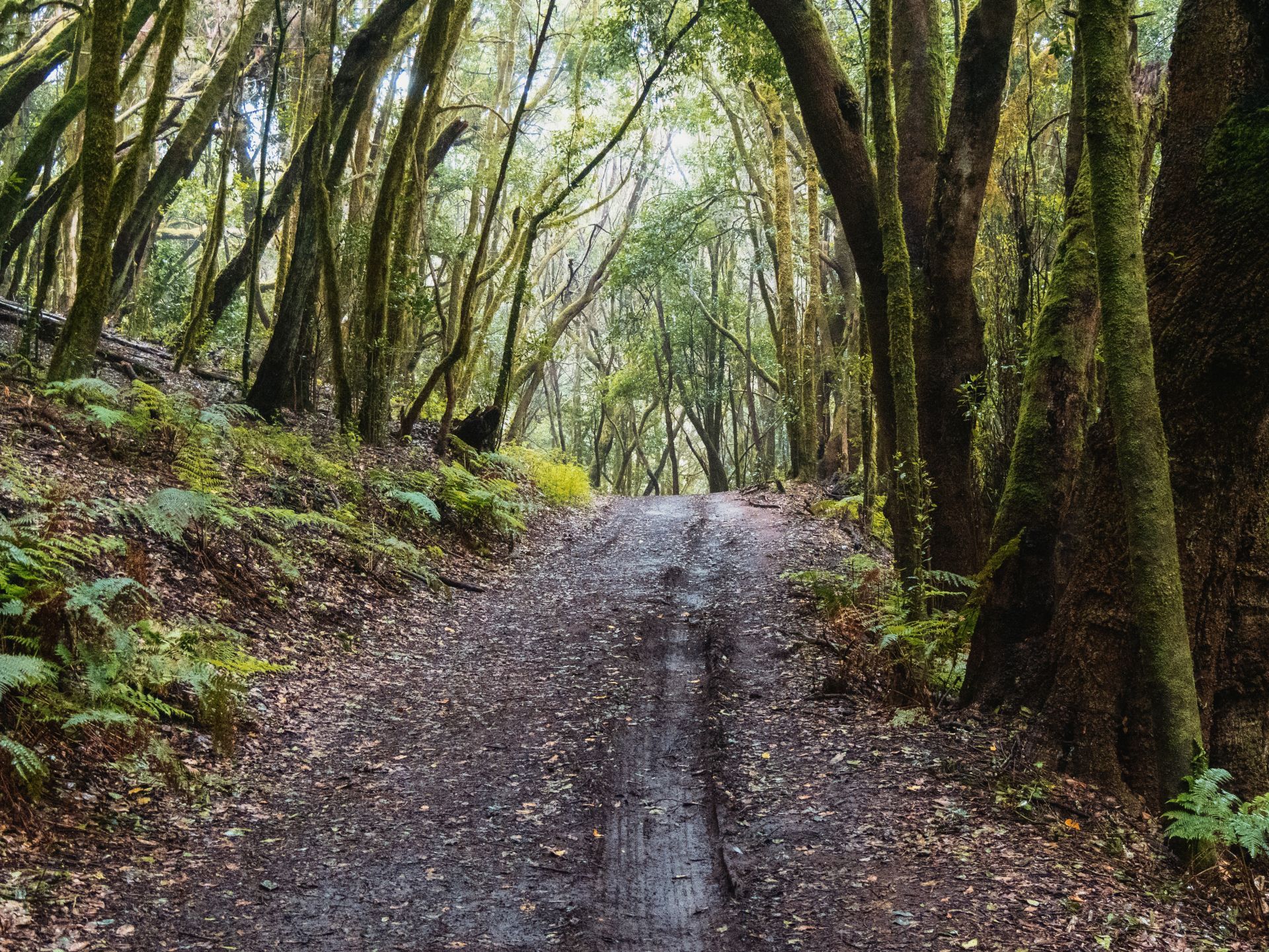
At the dam near Rosa de las Piedras, I was able to catch my breath briefly during a short stretch on the road before the trail began its relentless climb again. The rain got so heavy here that my camera had to stay in my bag most of the time. But I promise you: the first few kilometers through Garajonay National Park were breathtaking. The harsh weather only added to the very special, mystical primeval forest atmosphere.
After about ten kilometers, I reached Las Hayas, where I’d booked a triple room for 66 euros. I didn’t want to push myself too hard on the first day, and wild camping is strictly prohibited in the national park anyway. I picked up my dinner and water for the next day at Casa Efigenia, since the restaurant at my lodging was closed.
Day 2: Fog, Table Mountains, and the Alto de Garajonay
The view from the window the next morning was less than inviting: cold, foggy, and damp. Nevertheless, I packed my things and quickly left Las Hayas behind.
The weather took pity on me and slowly improved. In Chipude, I encountered a small surprise: the original route was temporarily impassable (apparently, there had been a break-in at a neighboring house). After that moment of shock, I rewarded myself with a cautiously optimistic ice cream for breakfast and a Coke as a coffee substitute.
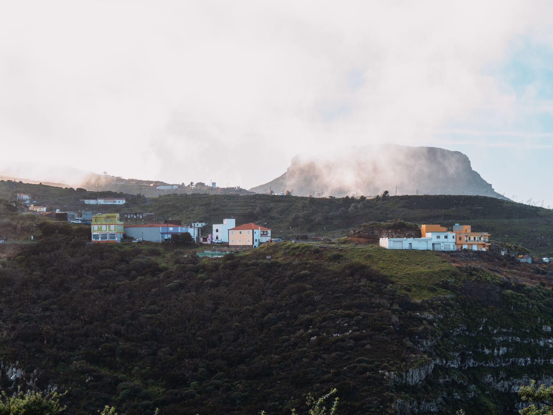
A constant companion in this area is the impressive table mountain La Fortaleza. It is its own nature reserve, home to pre-Hispanic ruins, and is considered a protected cultural heritage site.
Here’s a tip for you: At Pavón, a hiking trail branches off from the GR131 and leads up to the summit of La Fortaleza. From the top, you’ll have a breathtaking view of the south and west of La Gomera, as well as the neighboring islands of El Hierro and La Palma. Unfortunately, I didn’t have time for this detour—but if you have a little extra time, it’s absolutely worth it!
Via Igualero (with beautiful benches by the church for a break), I continued on for the final push up to the Alto de Garajonay, the island’s highest point. Along the way, the neighboring island of La Palma kept flashing into view on the horizon. At the summit, I experienced a bit of a culture shock: after the solitude of the trail, I hadn’t expected to see so many people.
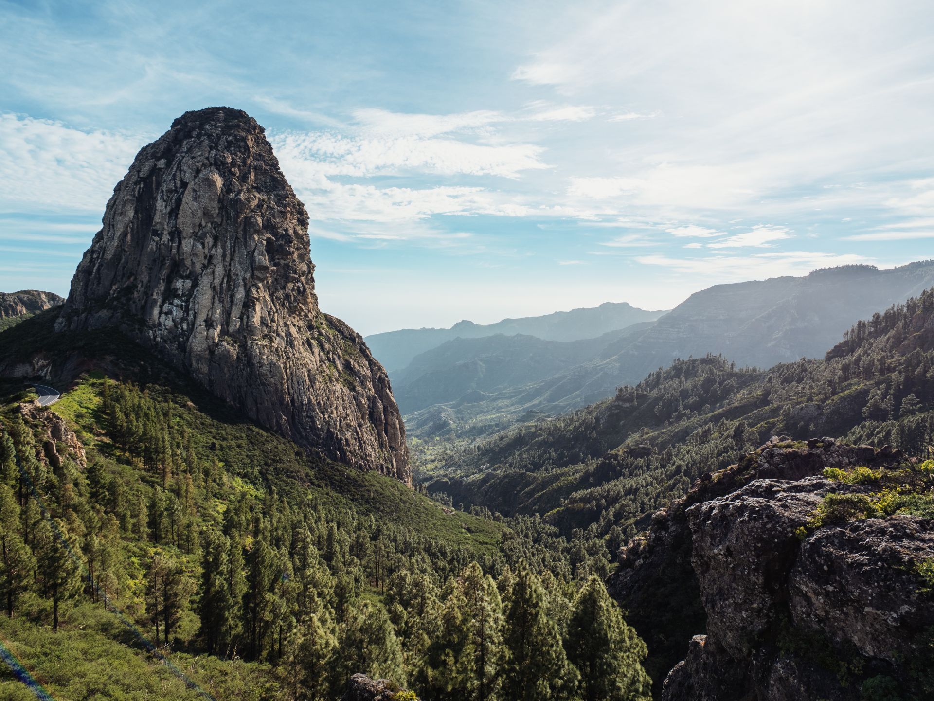
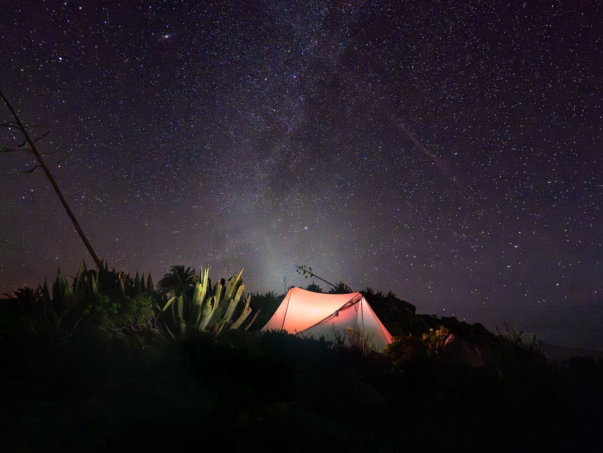
The descent on the other side was once again wonderfully “primeval forest-like.” For the rest of the day, I enjoyed fantastic views of Tenerife and Mount Teide. Passing the striking volcanic vent Roque de Agando, I continued hiking into the twilight. At a rest area with barbecue pits, I refilled my water supply from my backpack (Warning: According to the sign, the water there is not safe to drink!). With four liters in my pack, I finally found a secluded spot to pitch my tent.
Day 3: Abandoned Terraces and the Descent to San Sebastián
The final descent the next morning took me along rocky paths, accompanied by ravens, into the small, rural area of Ayamosna.
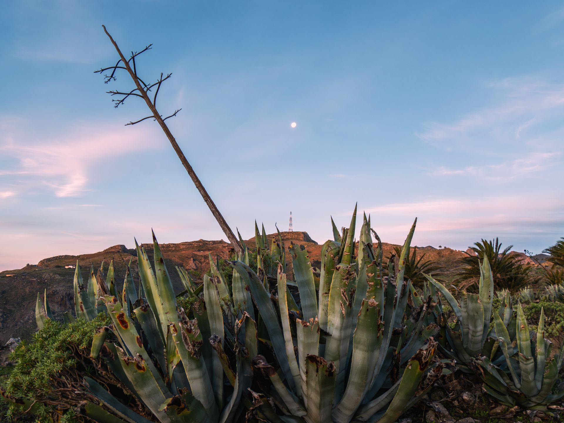
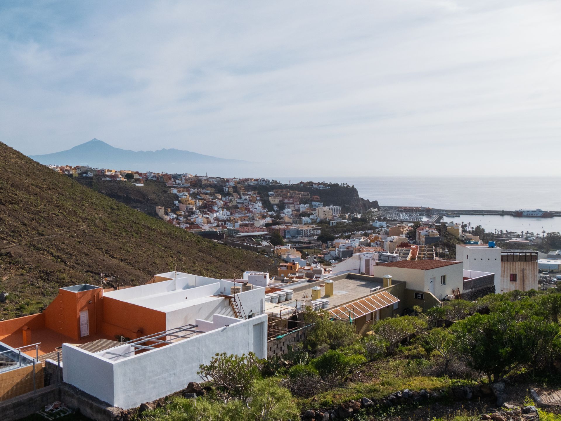
This area has suffered greatly due to the abandonment of agriculture. Where grain, wheat, barley, and chickpeas once grew—making it one of La Gomera’s most important breadbaskets—the terraced fields are now largely overgrown with spurge plants (cardones and tabaibas) due to the lack of rain. What has remained, however, are the spectacular, unobstructed views down toward my destination: San Sebastián.
My little slip-up on the side
Finally, a candid confession: I unfortunately missed the trailhead at Vallehermoso. I mistakenly thought the trail was closed due to construction, which turned out to be a mistake. Instead, I followed the road. When I realized my mistake, to be honest, I didn’t feel like turning back and walking the route again. That’s just how it goes sometimes on a hike!
I hope I’ve managed to get you a little excited about the GR131. By the way, you can also find a short video about this hike on my YouTube channel.
And the adventure continues: In the next post, we’ll tackle the GR132—we’ll hike all the way around La Gomera! Stay tuned.