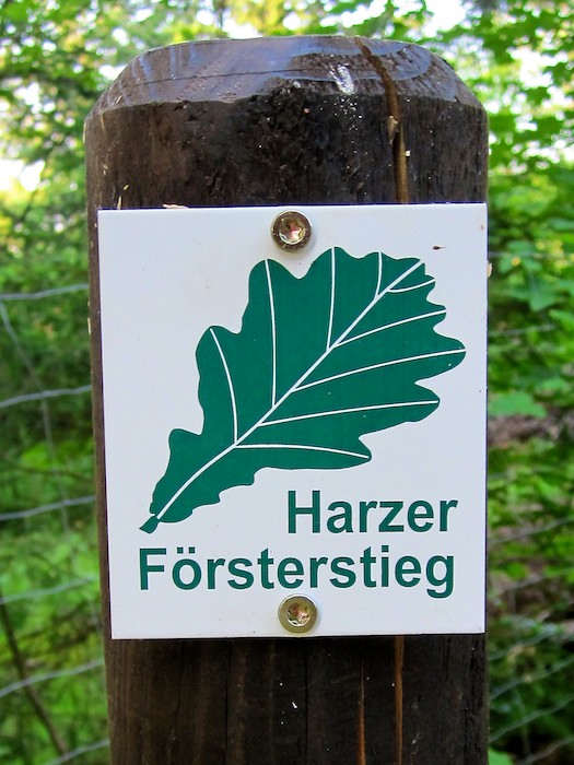
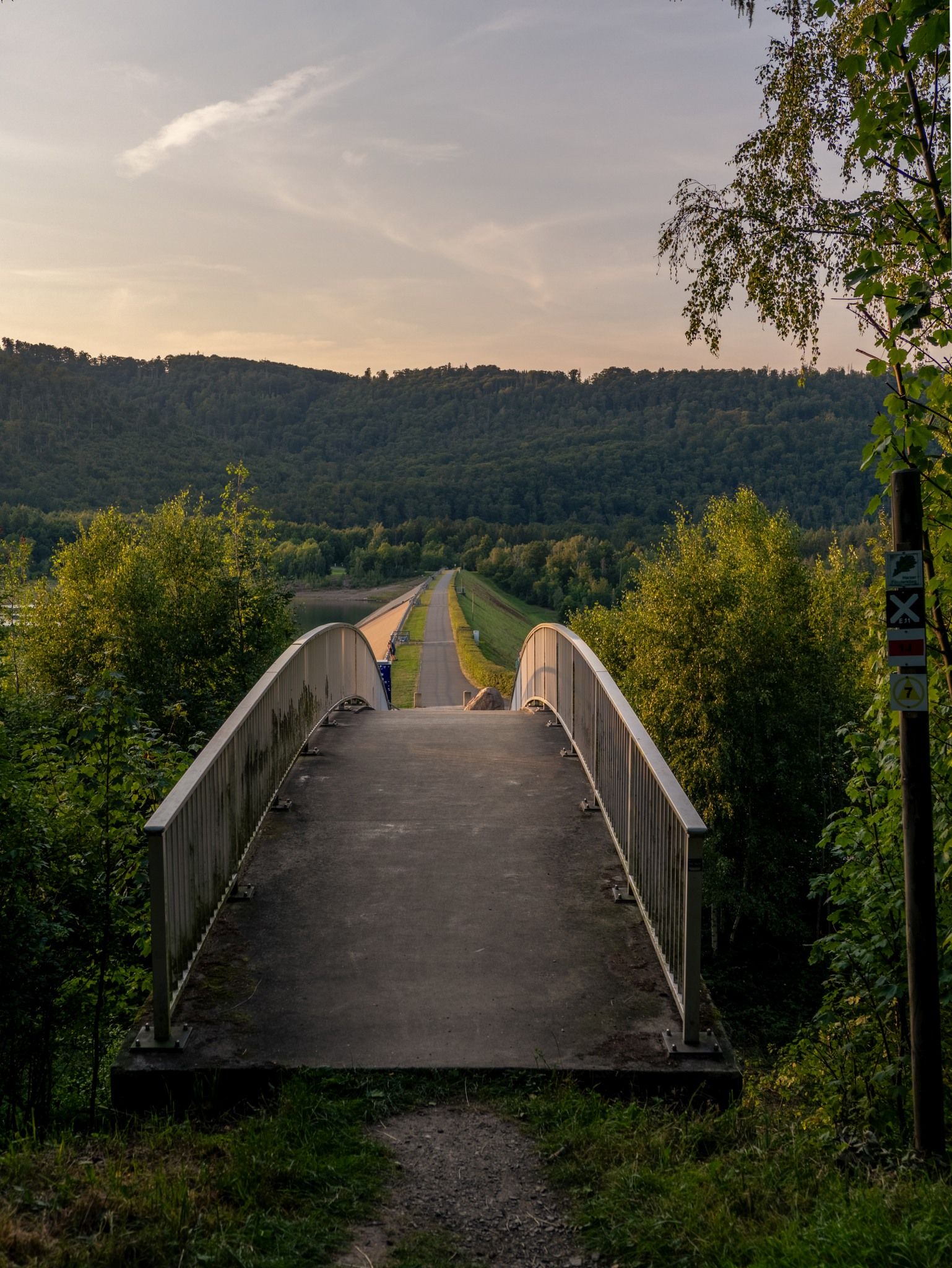
The Harzer Försterstieg is a varied long-distance hike that spans approximately 60 kilometers, connecting the UNESCO World Heritage city of Goslar with the small Harz village of Riefensbeek-Kamschlacken. The trail runs mostly along quiet forest paths, offering an ideal blend of nature experiences and relaxation. Along the way, you’ll pass three impressive dams—the Granetal Dam, the Innerstetal Dam, and the Sösetal Dam—which are not only important for drinking water and energy supply but also create a very special atmosphere.
Away from the main hiking trails, you’ll experience quiet forests, open mountain meadows, and sweeping views that continually offer new perspectives on the Harz Mountains. Thanks to the consistently clear trail markings, you can focus entirely on walking and enjoying the scenery. At times, idyllic ponds and babbling brooks line the path; at others, historic traces of mining accompany you; and time and again, a breathtaking panorama unfolds. The Försterstieg uniquely combines nature, culture, and tranquility—a Harz experience that is as relaxing as it is impressive.
From the Kaiserpfalz, the trail first leads to the Frankenberger Teich. From there, the path heads into the countryside with a breathtaking view over Goslar. The trail continues to the first dam, the Granetalsperre, before we reach Wolfshagen.
There, we pass the campground at Krähenberg, walk past the Schäderbaude, and head toward the Innerstetal Dam. This is where the most challenging part of the hike begins: the ascent.
We pass the “Kalte Birke” and the “Luchsstein,” hiking across the Bromberg Heights all the way to Taternplatz. From there, the trail winds uphill to the Kayser Oak, past the Upper Hahnebalzer Pond, the Prinzenteich, and through Buntenbock along the Clausthal mountain meadows. A short detour onto the Harzer-Hexen-Stieg leads us to the Mangelhalber Gate.
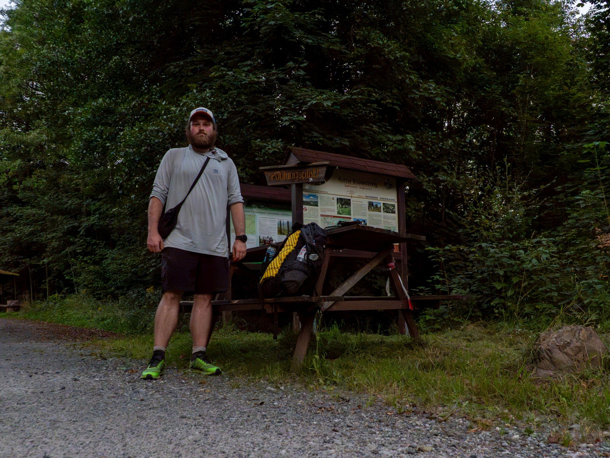
From here, it’s all downhill: to the Sösetalsperre and finally the last few meters to the Kohlungsplatz in Riefensbeek-Kamschlacken—just a formality.
Water, Rest Stops & Supplies
There are at least two reliable water sources along the route: the Schäderquelle and the Tränkebachhütte. Although other sources are available, they cannot be used without a water filter. There are no shopping options directly along the trail, and homes where you could ask for water are generally not in the immediate vicinity.
Getting There & Back
Getting there is straightforward: The starting point in Goslar is easily accessible by train, and from there it’s only about 15 minutes to the trailhead. The return trip, however, is somewhat more difficult, as Riefensbeek-Kamschlacken has very poor bus service—apparently, only a few buses run on weekdays. Better connections are available at Sternplatz and Taternplatz, in Wolfshagen and Buntenbock, or, alternatively, via detours, in Clausthal as well.
Um dir ein optimales Erlebnis zu bieten, verwenden wir Technologien wie Cookies, um Geräteinformationen zu speichern und/oder darauf zuzugreifen. Wenn du diesen Technologien zustimmst, können wir Daten wie das Surfverhalten oder eindeutige IDs auf dieser Website verarbeiten. Wenn du deine Zustimmung nicht erteilst oder zurückziehst, können bestimmte Merkmale und Funktionen beeinträchtigt werden.
Funktional
Always active
Die technische Speicherung oder der Zugang ist unbedingt erforderlich für den rechtmäßigen Zweck, die Nutzung eines bestimmten Dienstes zu ermöglichen, der vom Teilnehmer oder Nutzer ausdrücklich gewünscht wird, oder für den alleinigen Zweck, die Übertragung einer Nachricht über ein elektronisches Kommunikationsnetz durchzuführen.
Vorlieben
Die technische Speicherung oder der Zugriff ist für den rechtmäßigen Zweck der Speicherung von Präferenzen erforderlich, die nicht vom Abonnenten oder Benutzer angefordert wurden.
Statistiken
Die technische Speicherung oder der Zugriff, der ausschließlich zu statistischen Zwecken erfolgt.Die technische Speicherung oder der Zugriff, der ausschließlich zu anonymen statistischen Zwecken verwendet wird. Ohne eine Vorladung, die freiwillige Zustimmung deines Internetdienstanbieters oder zusätzliche Aufzeichnungen von Dritten können die zu diesem Zweck gespeicherten oder abgerufenen Informationen allein in der Regel nicht dazu verwendet werden, dich zu identifizieren.
Marketing
Die technische Speicherung oder der Zugriff ist erforderlich, um Nutzerprofile zu erstellen, um Werbung zu versenden oder um den Nutzer auf einer Website oder über mehrere Websites hinweg zu ähnlichen Marketingzwecken zu verfolgen.